Browse Items (1954 total)

http://www.ricdigitalcommons.com/Baxter_temp/CV-83-026.jpg
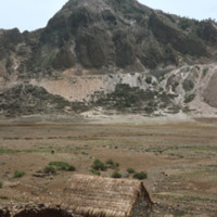
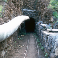
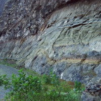
Cova is a crater that is part of an inactive volcano on the island of São Antão. A distinct feature of this high altitude micro environment is the flora that resides there. As opposed to the lush valleys below, the crater Cova boasts woody vegetation…

http://www.ricdigitalcommons.com/Baxter_temp/CV-83-025.jpg
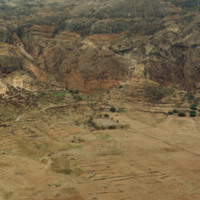
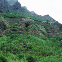
Cova is a crater that is part of an inactive volcano on the island of São Antão. A distinct feature of this high altitude micro environment is the flora that resides there. As opposed to the lush valleys below, the crater Cova boasts woody vegetation…

http://www.ricdigitalcommons.com/Baxter_temp/CV-89-063.jpg
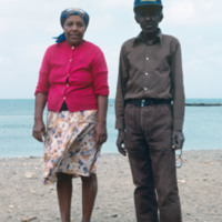
An older couple, unidentified, poses for a photograph by the shore on Maio. This photo is believed to be taken near Calheta, a small coastal village.

Tags:

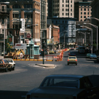
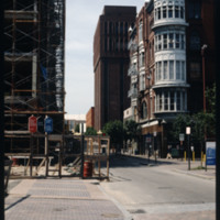
http://www.ricdigitalcommons.com/temp/5029.jpg
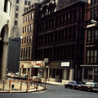
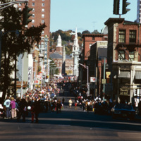
Downtown Providence, on the corner of Weybosset St and Westminster St.
Pictured on the left is the Turk's Head Building with some minor street construction in front of it. The Turk's Head Building was constructed in 1913 by the Brown Land Co. At…

http://www.ricdigitalcommons.com/temp/4935.jpg
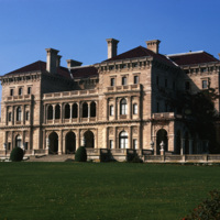
The Cornelius Vanderbilt II House was designed by Richard Morris Hunt in 1895 after its destruction in a fire in 1892. This home was originally a wood-frame house named The Breakers designed by Peabody and Stearns in 1877 and owned by Pierre…

http://www.ricdigitalcommons.com/Baxter_temp/CV-81-219.jpg
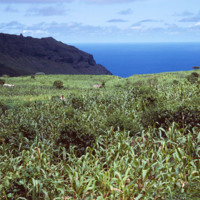
An unidentified man in a vast corn crop field. With roughly one third of the population being farmers, Cape Verde's economy is predominately driven by agriculture. Corn is one of the country's most produced and consumed crops as it is featured in…

http://www.ricdigitalcommons.com/Baxter_temp/CV-88-046.jpg
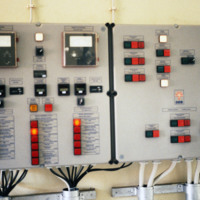
The Danish government built this desalination plant in Cape Verde just prior to this 1988 photograph.

Natural fresh water resources are few to nonexistent in many islands of Cape Verde. Therefore, seawater desalination plants are absolutely…

http://www.ricdigitalcommons.com/Baxter_temp/CV-89-070.jpg
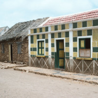
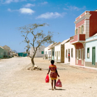
This photo shows two contrasting, adjacent houses. A modern, concrete home with bright colors to the right and a stone house with a thatched roof at left. The streets are cobblestone. This photo is believed to be taken in Calheta.

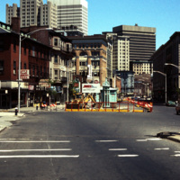
http://www.ricdigitalcommons.com/temp/5031.jpg
Street construction taking place on Weybosset St. in the late 1970s.

Weybosset St. is a part of the cultural core that is downtown Providence, connecting to Westminster St. and Empire St. on opposing corners. As of 2015, Weybosset is home to the…

http://www.ricdigitalcommons.com/temp/4911.jpg
Street construction taking place on Weybosset St. in the late 1970s.

Weybosset St. is a part of the cultural core that is downtown Providence, connecting to Westminster St. and Empire St., Weybosset is home to the Providence Performing Arts Center…

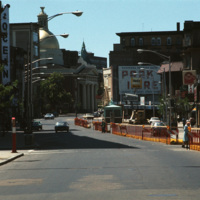
http://www.ricdigitalcommons.com/temp/4792.jpg
Weybosset street pictured in the late 1970s.
See also slide #4802 - Weybosset St: Loew's Theatre (PPAC) and Beneficent Church.

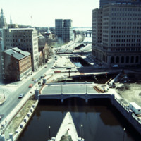
http://www.ricdigitalcommons.com/temp/5159.jpg
This photo shows work in progress in relocating Suicide Circle and uncovering and re-channeling the Mosshasuck and Woonasquatucket RIvers. Newly constructed Washington Street Bridge is in the foreground, but the old Fulton Street entrance to Suicide…

http://www.ricdigitalcommons.com/Baxter_temp/CV-81-214.jpg
Construction of the Fajã Gallery in one of the mountains of São Nicolau can be seen in this photo. Since water is scarce in Cape Verde, this project was initiated in order to find water for the community. 85.8% of water consumption is used for…

http://www.ricdigitalcommons.com/temp/5153.jpg
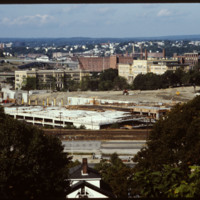
In 1986 Providence Station was completed. It replaced the 1898 Union Station as part of a redevelopment project to free up land from a mass of train tracks that had hemmed in downtown Providence. It is much smaller than its predecessor, reflecting…

http://www.ricdigitalcommons.com/temp/4892.jpg
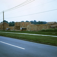
In 1954, William Levitt of Levitt & Sons, a leading residential firm, began purchasing property in Willingboro with the objective of building a residential community with few jobs and little commercial property so that the town's survival largely…

http://www.ricdigitalcommons.com/temp/1291.jpg
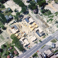
Aerial view of Madison Triangle shows a detail of construction of public housing in the 1960s. Previously the neighborhood had been known as Greenbush, and Italian neighborhood.

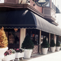
JM-IAIRI-199XXXXX-95.jpg
This is the exterior of Costantino's Venda Ravioli Store at the corner of Atwells and DePasquale Avenues. This picturesque entrance is the gateway to a store where pastas and ravioli of every kind are made and all types of Italian bread and pizza are…

http://www.ricdigitalcommons.com/temp/5210.jpg
This building was built for investment income as a wedding present for Jerothmul B. Barnaby’s daughter and his son-in-law, after whom it is named. The tower feature on this downtown building is also employed in Nickerson’s Carr House built in 1885.…

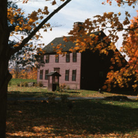
http://www.ricdigitalcommons.com/temp/4938.jpg
A historical saltbox house in Litchfield, Connecticut. The saltbox style is a Colonial design that originated in New England in around 1650. They are characterized by having two stories in the front of the house and only one in the back, with a small…

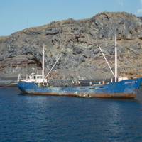
http://www.ricdigitalcommons.com/Baxter_temp/CV-81-276.jpg
A commercial fishing vessel is photographed docked near São Felipe. It is believed to be docked at Porto de Vale de Cavaleiros.

http://www.ricdigitalcommons.com/temp/4861.jpg
A street celebration on Washington St, in honor of Columbus Day. As of 2015, Washington St. is home to the popular music venue Lupo's Heartbreak of Hotel, the historical Providence Public Library, the Trinity Repertory Company, and the University of…

http://www.ricdigitalcommons.com/temp/0717.jpg
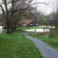
Columbia is a planned community made of ten individual villages. The community makes use of walkways to connect homes and parks, shopping centers, but also has a regular street system for motor vehicles. This pool, part of 23 outdoor pools in…

http://www.ricdigitalcommons.com/temp/0720.jpg
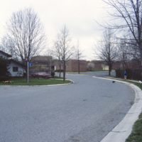
Columbia was creator James Rouse’s greatest accomplishment, and an experiment with not just a planned community, but a planned city. The city was ‘opened’ in 1967. It is a city made of ten self contained villages. This 1983 photograph shows Bryant…

http://www.ricdigitalcommons.com/temp/0407.jpg
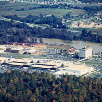
  The Mall in Columbia is part of a planned community development in Columbia, Maryland. The community consists of ten self-contained villages which were established in the late 1960s by The Rouse Company, a development firm headed by James Rouse.…

http://www.ricdigitalcommons.com/temp/0435.jpg
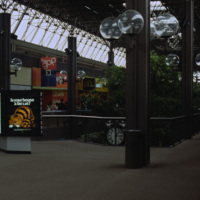
  An interior photograph of the Columbia Mall in Columbia Maryland displays the glass ceiling that creates an atrium effect for shoppers. The globe-shaped lanterns are repeated on the mall’s exterior walks.  The Mall in Columbia is part of a planned…

JM-IAIRI-19131013-30.jpg
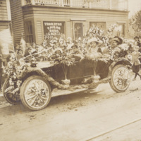
This elaborately decorated Hubmobile was owned by Dr. Antonio E. Fidanza. In 1913, it participated in one of the earliest Colombus Day parades. Shown in the photograph are Benny (Dr. Fidanza's driver) and Italia Mendozzi (who is wearing the large…

http://www.ricdigitalcommons.com/Baxter_temp/CV-85-009.jpg
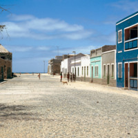
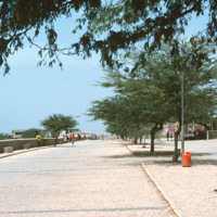
The city of Sal Rei is described as being "quietly busy" by Irwin and Wilson. As depicted in this picture, the city looks rather barren and plain. The streets, covered by sand and scree debris, are aligned in a grid pattern. City planners of Sal Rei…

http://www.ricdigitalcommons.com/Baxter_temp/CV-85-008.jpg
The city of Sal Rei is described as being "quietly busy" by Irwin and Wilson. As depicted in this picture, the city looks rather barren and plain. The streets, covered by sand and scree debris, are aligned in a grid pattern. City planners of Sal Rei…

http://www.ricdigitalcommons.com/Baxter_temp/CV-89-019.jpg
A cobblestone road in Vila do Maio runs along the shore of coastal town. Vila do Maio is the main settlement on the island, in recent years it has seen population growth and some development.

http://www.ricdigitalcommons.com/Baxter_temp/CV-89-024.jpg
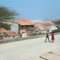
Residents walk along a cobblestone road in Vila do Maio. From this elevated point in the city the steep ascent of the village from the ocean is evident. On the horizon sits the long, flat, white sand beaches that lie just outside the village.

http://www.ricdigitalcommons.com/Baxter_temp/CV-81-203.jpg
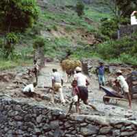
A group of workers repair a cobblestone road in Ribeira Brava, the main city on São Nicolau. The cit is known for cobblestone roads and beautiful, colorful architecture. Until the closing of a local seminary school in the early 20th century, Ribeira…

http://www.ricdigitalcommons.com/Baxter_temp/CV-81-181.jpg
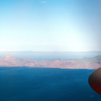
Aerial view of the coastline of São Nicolau. Pictured are rocky and dry mountains descending dramatically into the ocean. The green tops of the mountains provide a hint to the lush land behind them.

http://www.ricdigitalcommons.com/Baxter_temp/CV-81-180.jpg
Aerial view of the coastline of São Nicolau. Pictured are rocky and dry mountains descending dramatically into the ocean. The islands dry and mountainous exterior presents a barrier to the lush fertile land in the center.

http://www.ricdigitalcommons.com/Baxter_temp/CV-88-005.jpg
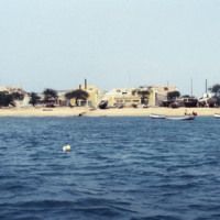
This photo was take off shore from Sal Rei, the principal city on Boavista. Homes can be seen lining the beach as well as beached vessels.

http://www.ricdigitalcommons.com/Baxter_temp/CV-85-026.jpg
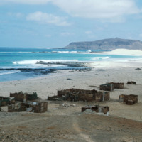
This photo shows several worn down and abandoned structures along the beach of Praia de Cabral.

http://www.ricdigitalcommons.com/Baxter_temp/CV-80-216.jpg
An unknown coastal village on São Nicolau.

http://www.ricdigitalcommons.com/Baxter_temp/CV-81-147.jpg
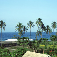
Tropical scene along the coastline in and around Paùl.

http://www.ricdigitalcommons.com/Baxter_temp/CV-83-040.jpg
This slide is another depiction of the coastline of Praia. The Mid-Atlantic Ocean surrounds the East, South, and Western portions of the city.

http://www.ricdigitalcommons.com/Baxter_temp/CV-88-052.jpg
Coastal scene near the then newly constructed desalination plant built by the Danish government.

http://www.ricdigitalcommons.com/Baxter_temp/CV-88-088.jpg
This photo shows some of the rock wall formations in what is thought to be a local sulfur mine in Boa Vista.

http://www.ricdigitalcommons.com/Baxter_temp/CV-88-087.jpg
The mineral exposed here is presumed to be sulfur that lies in a local mine of Boa Vista.

http://www.ricdigitalcommons.com/Baxter_temp/CV-88-086.jpg
Here is a close up displaying the inner walls of a local mine. It is speculated that the abundant mineral here is sulfur.

http://www.ricdigitalcommons.com/Baxter_temp/CV-81-030.jpg
Road to the top of Monte Verde, the highest peak on São Vincente. From the top of the mountain there are spectacular views of the surrounding area, including the peaks of Santa Altão and the harbor at Mindelo. At the peak of the mountain there is a…

http://www.ricdigitalcommons.com/Baxter_temp/CV-81-139.jpg
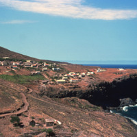
A shot of a cliff side plantation in Ribeira de Paùl. This shows the severity of the shear cliff faces on this island, the various houses on the land and the terraced farming that is commonplace in this area.

http://www.ricdigitalcommons.com/temp/0772.jpg
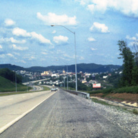
Clarksburg is a city in West Virginia with a population of 16,578 at the 2010 census. This 1981 photograph, taken on U.S. Route 50 shows the approach to the city and the hilly terrain that the city is built within. This section of Rt. 50 is part of…

http://www.ricdigitalcommons.com/temp/0743.jpg
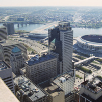
Riverfront Stadium (1970-2002), renamed Cinergy Field in 1996, was the home of the Cincinnati Reds National League baseball team and the Cincinnati Begals National Football team. It is one of many so called “cookie-cutter” stadiums built in the late…
http://www.ricdigitalcommons.com/temp/0737.jpg
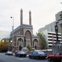
The Plum Street Temple is among the oldest American synagogue buildings still standing and in use. It was designed by James Key Wilson who blended Neo-Byzantine architecture with Moorish Revival style. It was the first of many American synagogues to…

http://www.ricdigitalcommons.com/temp/0742.jpg
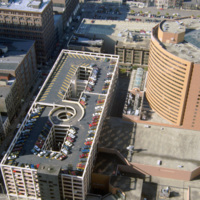
Photographed from the Carew Tower, this 1994 photograph shows the Hyatt Regency Cincinnati. The Hyatt building was completed in 1984 and is a twenty two story high rise building. The building was designed by RTKL Associates Inc. and is built in the…

http://www.ricdigitalcommons.com/temp/0741.jpg
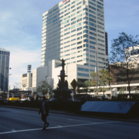
This view shows a shilouette of the Tyler Davidson Fountain at Fountain Square, Cincinnati. Dedicated in 1871, it has become a symbol of the city and popular tourist destination. It’s actual title is The Genius of Water, and features a woman with her…
Output Formats

atom, dcmes-xml, json, omeka-xml, rss2