Browse Items (66 total)

  • Tags: cityscape

http://www.ricdigitalcommons.com/temp/4971.jpg
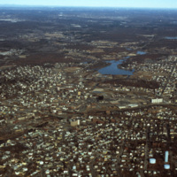
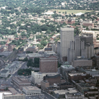
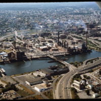
Downtown Woonsocket in 1979, featuring a view of Harris Pond and the Blackstone River. The Oak Hill Cemetery and the World War II Veterans Memorial Park can also be seen from the photo. Around the time this photo was taken, Woonsocket became the host…

http://www.ricdigitalcommons.com/temp/4885.jpg
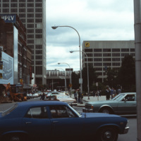
Main St. in Worcester, Massachusetts. It connects to the Worcester Common, which is known for City Hall, the Worcester Common Oval, the Turtle Boy statue, and more. Up until 1993, the Worcester Center Galleria was also a part of the common. This view…

http://www.ricdigitalcommons.com/temp/4884.jpg
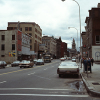
At the intersection of George St. and Main St. in Worcester, Massachusetts. Looking down Main St. towards the Worcester City Hall with its notable clock tower.

Worcester City Hall, completed in 1898, features aspects of the Italianate Renaissance…

http://www.ricdigitalcommons.com/temp/4883.jpg
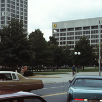
Main St. in Worcester, Massachusetts. It connects to the Worcester Common, which is known for City Hall, the Worcester Common Oval, the Turtle Boy statue, and more. Up until 1993, the Worcester Center Galleria was also a part of the common. This view…

http://www.ricdigitalcommons.com/temp/4878.jpg
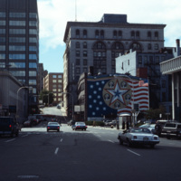
Foster St. in downtown Worcester, Massachusetts photographed in 1979. The mural to the right was painted by Sante Graziani (1920-2005), who was the head of the School at the Worcester Art Museum from 1951-1972 and its dean from 1972-1981. The mural…

http://www.ricdigitalcommons.com/temp/4872.jpg
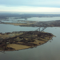
Aerial image of Roger Williams University and the Mount Hope Bridge in Bristol, Rhode Island when the school was still called Roger Williams College. The Mount Hope Bridge was constructed between 1927 and 1929. In 1956, the college purchased this…

http://www.ricdigitalcommons.com/temp/5049.jpg
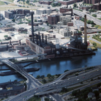
The Narragansett Electric Lighting Company had buildings on Eddy St. (pictured) and on Manchester St. They were once connected by an overhead conveyor belt, but no longer are. The Eddy St. building is no longer active as a power plant, and was…

http://www.ricdigitalcommons.com/temp/5048.jpg
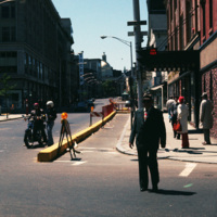
Looking up Weybosset St. from the corner of Dorrance and Weybosset. There is minor street construction occurring, and the Beneficent Congregational Church can be seen in the distance. The church was built in 1809 and remodeled to its current…

http://www.ricdigitalcommons.com/temp/5042.jpg
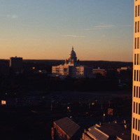
Downtown Providence featuring the Rhode Island State House at the center. The Rhode Island State House was built in 1904, designed by McKim, Mead & White. The building's self-supporting marble dome is the fourth-largest of its kind in the world,…

http://www.ricdigitalcommons.com/temp/4981.jpg
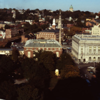
This shot overlooks the residential hills of East Providence as well as College Hill. In the middle, one can see the tower of the First Baptist Church -- to the right, the green dome of the First Church of Christ, Scientist on the horizon.

4978.jpg
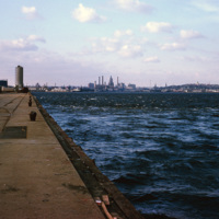
A view of downtown Providence from the city pier, across the Providence River.

http://www.ricdigitalcommons.com/temp/4970.jpg
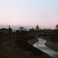
The Moshassuck River in Providence near the Rhode Island State House.

http://www.ricdigitalcommons.com/temp/4907.jpg
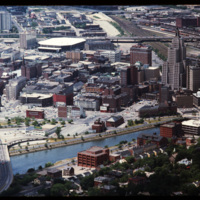
The Providence River separates the Downtown and East Side neighborhoods of Providence. The East Side is home to Brown University, and Rhode Island School of Design. Roger Williams founded Providence along College Hill, thus the East Side contains…

http://www.ricdigitalcommons.com/temp/4865.jpg
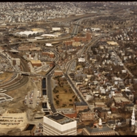
This 1970s view of Providence shows how the former route of Interstate 195, along with the railroad yard behind Union Station, isolated downtown Providence from the surrounding neighborhoods.

http://www.ricdigitalcommons.com/temp/4863.jpg
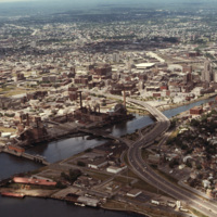
Downtown Providence from above, looking west across the Providence River into the cityscape. This 1976 view shows how Interstate 195 used to divide the city and occupy crucial downtown real estate. It was relocated in the 2000s to follow a more…

http://www.ricdigitalcommons.com/temp/5135.jpg
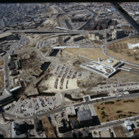
This image shows the transformation of Capital Center in progress. Francis Street construction is complete up until the over-passed train tracks and the bridge over the Woonasquatucket River. The former train tracks have been removed, but the land…

http://www.ricdigitalcommons.com/temp/5118.jpg
Manchester Street Power Station (1904) is a Georgian power house located on 12 acres in Providence, Rhode Island. It produces enough electricity to power about 112,000 homes, using natural gas as its fuel. Manchester Street consists of three…

http://www.ricdigitalcommons.com/temp/5115.jpg
Aerial view of Interstate 95, new train tracks, the Charles Street area in the city’s North End (including the U.S. Post Office by Maguire and Associates, 1960), and the East Side.

http://www.ricdigitalcommons.com/temp/5128.jpg
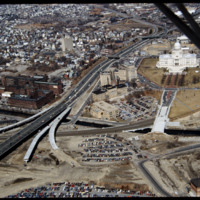
In this 1987 view the newly constructed Francis Street approach to the State House is complete thru the future intersection with Memorial Blvd. Interstate 95 separates Providence's West Side from downtown. The Foundry Building is on the left side of…

http://www.ricdigitalcommons.com/temp/1315.jpg
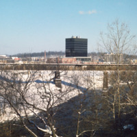
By 1970 Woonsocket was being referred to as a lost city (Providence Journal). In response the city entered a resurgence phase. The biggest change was the creation of a new downtown in the area known as the Social Flatlands. The black high rise in the…

http://www.ricdigitalcommons.com/temp/1279.jpg
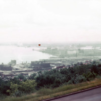
View of Superior Bay and Duluth likely taken at Enger Park or Enger Tower. Enger Tower is observation tower in Duluth that is made of blue stone and was dedicated in 1939 by Crown Prince Olav and Crown Princess Martha of Norway. Superior Bay is a…

http://www.ricdigitalcommons.com/temp/1275.jpg
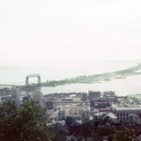
Skyline Parkway offers a bird’s eye view of the port city of Duluth. In this photograph, made in 1964, Duluth’s Aerial Life Bridge is visible, a landmark of the city. The construction of the Duluth Ship Canal in the late 19th century made it…

http://www.ricdigitalcommons.com/temp/1273.jpg
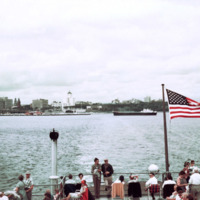
Photographed from Milkwakee Bay, this photograph shows the Milwaukee skyline as it was in 1962. Conspicuously absent are the sky scrapers that now dominate the skyline, which would be built in the following decades.

http://www.ricdigitalcommons.com/temp/1243.jpg
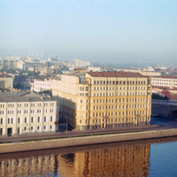
The large building at the right was, at the time of this photograph, the Hotel Bucharest. The original structure, dating to 1898, was designed by local architect Alexander Ivanov. During the 20th century the building changed ownership numerous times…

http://www.ricdigitalcommons.com/temp/1039.jpg
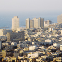
Tel Aviv is sometimes referred to as the Miami of the Middle East. Looking at this 1980 photograph it is easy to see why. The city’s architecture, much like Miami, is dominated by modernist structures in the Bauhaus and International styles. Here…

http://www.ricdigitalcommons.com/temp/0975.jpg
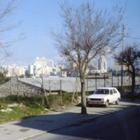
This photograph looks toward the New City district of Jerusalem. In contrast to the historical and religiously significant architecture of the old city, the New City’s skyline is ripe with modernist architecture and skyscrapers in the international…

http://www.ricdigitalcommons.com/temp/0826.jpg
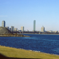
Located on Columbia Point, this is the view of Boston from the John F. Kennedy Presidential Library. Before being redeveloped the site had been a garbage dump. In this view of the Boston skyline are notable skyscrapers (left to right) The Prudential…

http://www.ricdigitalcommons.com/temp/0823.jpg
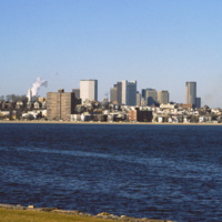
The Boston skyline is photographed from The John F. Kennedy Presidential Library at Columbia Point in this 1987 photograph. In 1963 Kennedy chose Boston as the location of his Presidential Library because he felt the other Presidential Libraries…

http://www.ricdigitalcommons.com/temp/0815.jpg
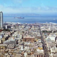
This San Francisco cityscape contains many of its well-known landmarks, including Alcatraz Island on the horizon and Sts. Peter and Paul Church at the left. Sts. Peter and Paul Church was built in 1924. Alcatraz Island was developed as a…

http://www.ricdigitalcommons.com/temp/0804.jpg
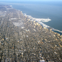
This aerial photograph shows Chicago’s north side, and Lake Michigan. Running along the shore is Chicago’s Lake Shore Drive, dotted with high rise buildings. Officially part of U.S. Highway 41, Lake Shore Drive serves to accommodate the travel needs…

http://www.ricdigitalcommons.com/temp/0803.jpg
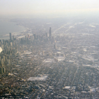
Aerial photograph of Chicago taken in the winter of 1993. Chicago has among one of most dense skylines in the world. It is also home to some of the worlds tallest buildings, including the Willis Tower (formerly Sear Tower) which was the tallest in…

http://www.ricdigitalcommons.com/temp/0802.jpg
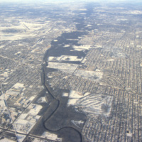
Aerial view of the northern section of Chicago. At the left is O’Hare International Airport. The Des Plaines River can also be seen running through the center of the frame.

http://www.ricdigitalcommons.com/temp/0796.jpg
Old Town Albuquerque is a historic section of town that dates back to the early 18th century settlements by the Spanish. Today it is a popular destination for shoppers and tourists. There are many historic adobe buildings, including the San Felipe de…

http://www.ricdigitalcommons.com/temp/0794.jpg
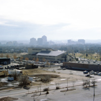
Albuquerque’s skyline in 1993, shortly after construction of the Albuquerque Plaza (1990). it’s distinct shape can be seen in the center in this photograph. While it saw much of the same cycle of decline and urban renewal as many US cities in the…

http://www.ricdigitalcommons.com/temp/0775.jpg
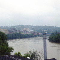
Monongahela, an approximation of a native word meaning “falling banks”, refers to the instability of the Monongahela Rivers banks. The river flows through Pennsylvania and West Virginia. This photograph shows the Monongahela River in Mograntown.…

http://www.ricdigitalcommons.com/temp/0772.jpg
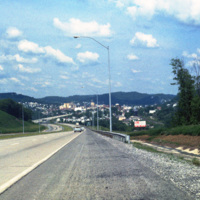
Clarksburg is a city in West Virginia with a population of 16,578 at the 2010 census. This 1981 photograph, taken on U.S. Route 50 shows the approach to the city and the hilly terrain that the city is built within. This section of Rt. 50 is part of…

http://www.ricdigitalcommons.com/temp/0770.jpg
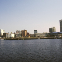
This photograph shows Downtown Norfolk from Hampton Roads. At the right is the Waterside Festival Marketplace developed by James Rouse. The marketplace was a key component in Norfolk’s revitalization process in the decades following the Second World…

http://www.ricdigitalcommons.com/temp/0768.jpg
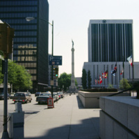
Commercial Park and the Confederate Monument are photographed in the image of Norfolk. The Confederate Monument was completed in 1907 when a 15 foot bronze statue of Johnny Reb was added to the top.

http://www.ricdigitalcommons.com/temp/0760.jpg
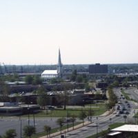
This photograph, believed to be taken from the Crowne Plaza, looks south down St. Paul’s Blvd. in Norfolk. On the horizon is the Basilica of St. Mary of the Immaculate Conception Church. The cathedral was constructed in 1858 after the original…

http://www.ricdigitalcommons.com/temp/0759.jpg
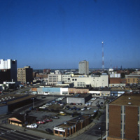
Anchored by Norfolk Scope, the northern corner of town is shown in the aerial photograph. Retail shops outlets dominate the area. Throughout the twentieth century shopping centers in the suburbs continued to draw commerce away from the city. The…

http://www.ricdigitalcommons.com/temp/0758.jpg
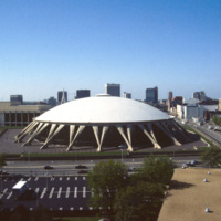
Featuring the world’s largest concrete dome, the Norfolk Scope (derived from kaleidoscope for it’s re-configurability) is a center for sports, entertainment and conventions in downtown Norfolk. It was designed by Italian architect Pier Luigi Nervi…

http://www.ricdigitalcommons.com/temp/0749.jpg
This east facing aerial view looks across downtown Cincinnati from Carew Tower. Of note in this image are some of Cincinnati’s taller buidlings: The Fifth Third Center and the Chiquita Center. The Fifth Third Center, towering in the foreground, is a…

http://www.ricdigitalcommons.com/temp/0743.jpg
Riverfront Stadium (1970-2002), renamed Cinergy Field in 1996, was the home of the Cincinnati Reds National League baseball team and the Cincinnati Begals National Football team. It is one of many so called “cookie-cutter” stadiums built in the late…
http://www.ricdigitalcommons.com/temp/0742.jpg
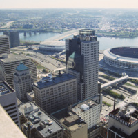
Photographed from the Carew Tower, this 1994 photograph shows the Hyatt Regency Cincinnati. The Hyatt building was completed in 1984 and is a twenty two story high rise building. The building was designed by RTKL Associates Inc. and is built in the…

http://www.ricdigitalcommons.com/temp/0740.jpg
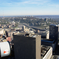
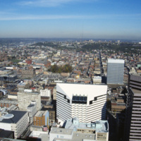
This aerial photograph of Cincinnati was taken in 1994 and looks north across the city. The distinct white and black building in the foreground is presently the headquarters of Macy’s Inc. At the time of this photograph it was owned by Federated…

http://www.ricdigitalcommons.com/temp/0596.jpg
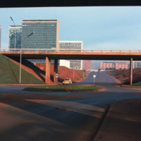
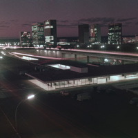
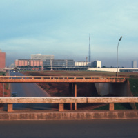
This photograph looks west on Brasilia’s Monumental Axis under the overpasses of the North and South Roads, where the bus and subway terminals are located. Smolski notes on the slide the choice to install roundabouts rather than traffic signals.

http://www.ricdigitalcommons.com/temp/0592.jpg
This photograph faces south east across Brasilia’s Monumental Access. The photograph was taken from the TV Tower. Prominent in the left middle ground is the Praça dos Aposentados, a housing complex for retired persons. Just behind that is the…
http://www.ricdigitalcommons.com/temp/0591.jpg
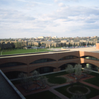
This south facing view of Brasilia looks across the ‘wings’ of the city into the planned residential neighborhoods. The modernist architecture, designed by Oscar Niemeyer, dominates the city. In the foreground of the photograph is a subway station…

http://www.ricdigitalcommons.com/temp/0590.jpg
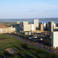
Looking west down Brasilia’s Monumental Axis Smolski capture’s an array of modernist architecture. Of note, to the left is Correios, the national headquarters for Brazil’s postal service. Prominent in the center right of the photograph is Brasilia’s…

http://www.ricdigitalcommons.com/temp/0588.jpg
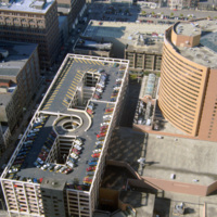
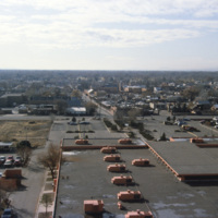
Indiana Avenue Apartments photographed from University Place Hotel at IUPUI campus in Indianapolis. The Indiana Avenue Apartments are public housing managed by the Indianapolis Housing Agency (IHA).
Output Formats

atom, dcmes-xml, json, omeka-xml, rss2