Browse Items (28 total)
- Tags: urban parks
Sort by:
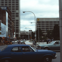
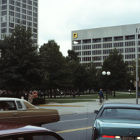
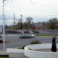
Main St. in Worcester, MA
Main St. in Worcester, Massachusetts. It connects to the Worcester Common, which is known for City Hall, the Worcester Common Oval, the Turtle Boy statue, and more. Up until 1993, the Worcester Center Galleria was also a part of the common. This view…
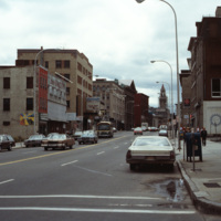
Main St. in Worcester, MA
At the intersection of George St. and Main St. in Worcester, Massachusetts. Looking down Main St. towards the Worcester City Hall with its notable clock tower.
Worcester City Hall, completed in 1898, features aspects of the Italianate Renaissance…
Worcester City Hall, completed in 1898, features aspects of the Italianate Renaissance…
Tags: cityscape, Massachusetts, streetscape, urban malls, urban parks
Main St. in Worcester, MA
Main St. in Worcester, Massachusetts. It connects to the Worcester Common, which is known for City Hall, the Worcester Common Oval, the Turtle Boy statue, and more. Up until 1993, the Worcester Center Galleria was also a part of the common. This view…
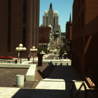
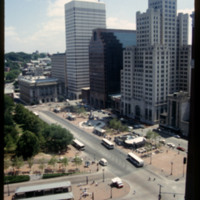
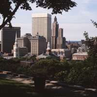
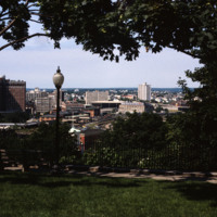
Looking at Downtown Providence from Cathedral Square
Cathedral Square was designed by I.M. Pei and Zion & Breen in 1969. It was intended to become a popular plaza but nothing more was added to the space and so it remained empty, supplying only sitting room for pedestrians.
Tags: downtown, Providence downtown, urban parks
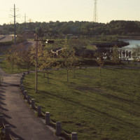
India Point Park
India Point Park is located in Fox Point, a Providence neighborhood, at the junction of the Seekonk River and Providence River. The area that became India Point Park had previously been developed wharves, ships' provisioners, and light industrial…
Tags: India Point Park, parks, Providence, public spaces, RI, urban parks, waterfront
Kennedy Plaza, Burnside Park
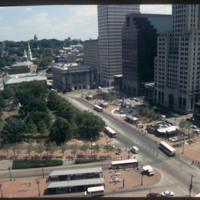
In the foreground are Union Station, Burnside Park and the Federal Building Annex. This view gives a sense of the separation that existed between downtown and the Capital Center prior to redevelopment in the 1980s and 1990s. On the right, the…
Hartford: Public Housing
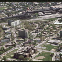
The working class housing of the Hartford neighborhood was destroyed when the Route 6 connector was built to alleviate traffic in Olneyville Square. Low-income housing (Hartoford Park Public Housing Project seen here) was built on Corbusian…
Tags: aerial, housing projects, public housing, urban parks
Kennedy Plaza, Burnside Park
The area that comprises Kennedy Plaza and Exchange Terrace has been so constantly reworked that hardly ten years passes without its appearance being significantly altered. According to Woodward, tracking all these alterations in order to “fully…
Kennedy Plaza, Financial District, Industrial National Bank Building
According to Jordy, Walker and Gillette’s Industrial National Bank Building (1926-8) is still Providence’s finest skyscraper as it is a “superbly Art Deco culmination of the Providence skyline in a major example of a setback.” Though stepped…
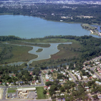
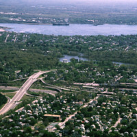
Madison: Vilas Park
Vilas Park and Henry Vilas Zoo is located on land donated in 1903 by William and Anna Vilas. It was one of the only accredited zoo’s to offer free admission, as stipulated by the Vilas when they donated the land 100 years ago.
Tags: aerial, Lake Wingra, parks, urban parks, Vilas Park, Zoos
Norfolk: Commercial Park
Photograph of Commercial Park in Norfolk. Commercial Park sits between MacArthur Square and the Confederate Monument, on East Main and Plume Street.
Tags: downtown, urban parks
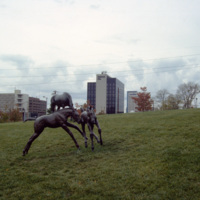
Lexington: Thoroughbred Park
Thoroughbred Park in Lexington, a tribute to the thoroughbred racehorse, is adorned with life-size statues of the horses and riders. Lexington is considered the “Thoroughbred City” and “Horse Captial of the World.”
Tags: arts, monuments, urban parks
Lexington: Thoroughbred Park
Thoroughbred Park in Lexington celebrates the cities reputation as the “Horse Capital of the World.” The park has life size bronze statues of horses and riders. They were made Lexington native sculptor Gwen Reardon.
Tags: arts, thoroughbred, urban parks
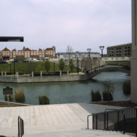
Indianapolis: White River State Park
Indianapolis’ White River State Park was built around the site of the Central Canal, a failed canal venture from the early nineteenth century. Since the restoration in the 1980s, the park has become the cultural center of the city and is considered…
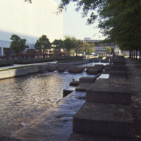
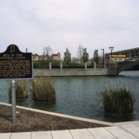
Indianapolis: White River State Park, Central Canal
This photograph shows the site of the Central Canal, a proposed 296 mile canal that was to connect Peru to Evansville where it would then meet the Ohio River.The canal was aborted after the state fell into bankruptcy in 1939. This 1993 photograph…
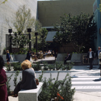
Miami: Vest Pocket Park
Chet Smolski photographed this as an example of a vest pocket park in Miami. Also known as mini parks, or parketts, these small urban parks are placed on vacant lots between buildings are accessible to the general public.
Tags: downtown, Florida, Miami, street scene, urban parks, vest pocket park
Miami Beach: Bal Harbour
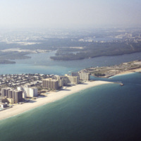
This aerial view shows Bal Harbor, Bal Harbor beach, and Biscayne Bay. At frame left, just above the small island, is where Florida International University’s Biscayne Bay Campus would be located. In this image some of the early construction for the…
Lafayette Park - Washington D.C.
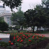
Lafayette Park, or Lafayette Square, is a seven acre public park located in Washington D.C. Lafayette Park is directly across from the White House on Pennsylvania Avenue. Originally part of the White House grounds, Pennsylvania Avenue bisected what…
Blackstone Park on Seekonk River- Providence
Blackstone Park, located between Angel St. and the grounds of Butler hospital, lies on land donated to the city by Moses Brown Jenkins in the 1860s. It is some of the hilliest land in Providence, and thus unsuitable for residential development. The…
Tags: city planning, land use, public spaces, urban parks
India Point Park
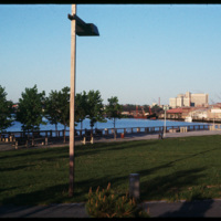
View looking East from India Point Park. In the distance stands the old India Point Park Pedestrian bridge. Originally measuring 8 feet wide, the bridge was built in 1971 and then demolished in 2005 to be reconstructed. It was officially replaced in…
India Point Park
India Point Park features 18 acres of open space, graceful trees, and walking paths along its 3,600-foot shoreline. Located at the confluence of the Seekonk and Providence Rivers where they widen into Narragansett Bay, the Park is the only broad…
Tags: parks, urban parks, waterfront
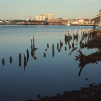
India Point Park River
Industrial development along Allens Ave. photographed from India Point Park. Shown: (left to right) Sprague Providence Terminal, Rhode Island Hospital, Ambulatory Care Center, Manchester Station.
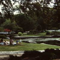
Roger Williams Park, Japanese Garden
Built in 1935-1936 by the Works Progress Administration in the 430 acre park designed by Horace Cleveland in 1878. The park itself is laid out in the romantic landscape tradition of Frederick Law Olmsted (1822-1903) and complements the asymmetry of…
View of Downtown Providence from Prospect Terrace Park
The absence of Fleet Center at 50 Kennedy Plaza is noticeable in this shot of downtown from Prospect Terrace Park and dates the image to pre-1985.
(date of photograph is approximated)
View of downtown Providence from Prospect Terrace Park
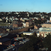
View looking west from Prospect Terrace Park. Cathedral Sq., Providence City Hall, and the Providence Biltmore appear on the left side of the photo. In the center of the photo are the yellow brick Union Station buildings and the old train tracks to…
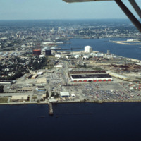
Aerial View of Fields Point in Washington Park, Providence
Before Roger Williams Park (1871), Fields Point was considered the city’s premier park location and the site of popular restaurants and the Washington Park Yacht Club. Once a “bucolic landscape of rolling hills, quiet coves and shaded groves”, Fields…
Roger Williams Park in South Elmwood
In 1871, Betsey Williams, great-great-grandaughter of Providence founder Roger Williams, gave the city the 102 acre tract of land with the provision that the land be used for a park or cemetery and that a memorial to Roger WIlliams be included. It…
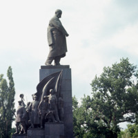
Monument to Taras Shevchenko (1814-1861), Kharkov, Ukraine
A monument in Kharkov to Ukraine’s greatest poet and artist who wrote and fought as a revolutionary democrat against serfdom and Tsarist rule. The monument is in Dzerzhinsky Square in Kharkov. A competition for the best Schevchenko monument took…
