Browse Items (61 total)

  • Tags: street scene
http://www.ricdigitalcommons.com/temp/5079.jpg
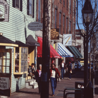
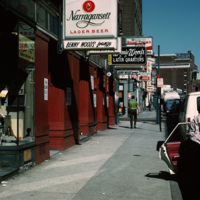
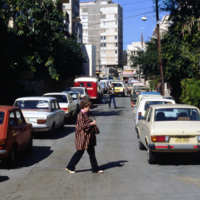
A street scene of Old Port, the historic waterfront district in downtown Portland, Maine. The neighborhood is popular for its waterfront views, galleries, and restaurants. As of 2016, this storefront located at 9 Moulton St is occupied by Mexicali…
http://www.ricdigitalcommons.com/temp/4929.jpg
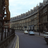
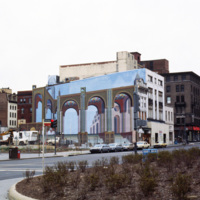
A street of Georgian townhouses in the city of Bath, in Somerset, England. The Hay Hill Baptist Church is on the left.

The layout of the city of Bath was established by John Wood the Elder from 1728 to 1775, where he and then his son, John Wood the…

http://www.ricdigitalcommons.com/temp/4928.jpg
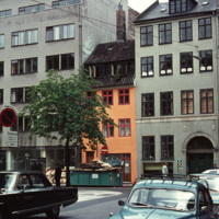
Example of a Copenhagen street scene, with a dairy shop on the far right and a wholesale agency next to it. The grey building on the far left belonged to the bicycle company Simonsen & Nielsen. The Danish movie director Jøneth Leth most likely filmed…

http://www.ricdigitalcommons.com/temp/4893.jpg
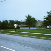
Willingboro Secondary School and Levitt High School in 1970. As of 2016, Willingboro has the Willingboro High School, the Levitt Middle School, one alternative education program school to include gifted and talented students, and five elementary…

http://www.ricdigitalcommons.com/temp/4885.jpg
Main St. in Worcester, Massachusetts. It connects to the Worcester Common, which is known for City Hall, the Worcester Common Oval, the Turtle Boy statue, and more. Up until 1993, the Worcester Center Galleria was also a part of the common. This view…

http://www.ricdigitalcommons.com/temp/5048.jpg
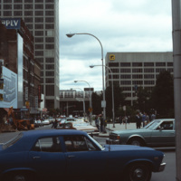
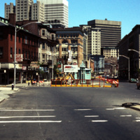
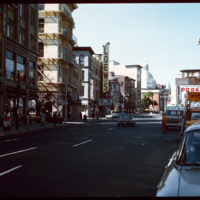
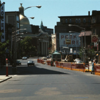
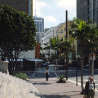
Looking up Weybosset St. from the corner of Dorrance and Weybosset. There is minor street construction occurring, and the Beneficent Congregational Church can be seen in the distance. The church was built in 1809 and remodeled to its current…

http://www.ricdigitalcommons.com/temp/5036.jpg
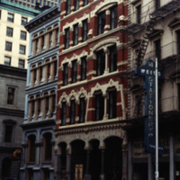
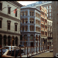
Pictured on the left, the Equitable Building (1872, 36 Weybosset St.) features a locally cast iron "Venetian" facade that is the best preserved of the few cast-iron facades in the city. The facade was cast by the Builders Iron Foundry. The design of…

http://www.ricdigitalcommons.com/temp/5031.jpg
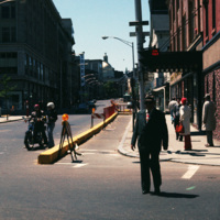
Street construction taking place on Weybosset St. in the late 1970s.

Weybosset St. is a part of the cultural core that is downtown Providence, connecting to Westminster St. and Empire St. on opposing corners. As of 2015, Weybosset is home to the…

http://www.ricdigitalcommons.com/temp/5028.jpg
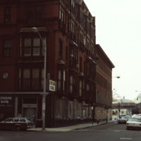
Street scene of Richmond St near the corner of Richmond St and Pine St in downtown Providence.

http://www.ricdigitalcommons.com/temp/4969.jpg
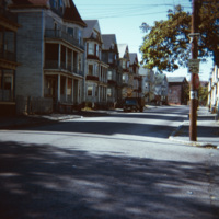
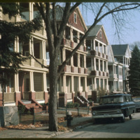
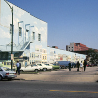
"Ubiquitous triple-deckers," in Providence, as noted by Professor Smolski. This area of South Providence was identified as a "blighted" neighborhood in the 1970s, and much of it, including the neighborhood in this image, has since been demolished and…

http://www.ricdigitalcommons.com/temp/4911.jpg
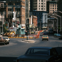
Street construction taking place on Weybosset St. in the late 1970s.

Weybosset St. is a part of the cultural core that is downtown Providence, connecting to Westminster St. and Empire St., Weybosset is home to the Providence Performing Arts Center…

http://www.ricdigitalcommons.com/temp/4903.jpg
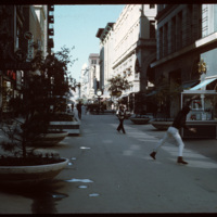
In the early 1960s this section of Westminster street was closed to vehicular traffic and became a pedestrian mall. Pictured here in 1970, a game of Frisbee takes place while shoppers traverse closer to the buildings. In 1986 the street was opened…

http://www.ricdigitalcommons.com/temp/4808.jpg
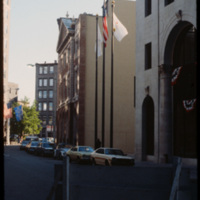
The Federal Building (left) was completed in 1857 in the format of an Italianate Renaissance palace. Though not visible, the building is capped by an iron-cast dome that was conceived after construction on the building began. The intent of the dome…

http://www.ricdigitalcommons.com/temp/4806.jpg
The Exchange Bank Building, pictured here in 1979, is a commercial building in the Queen Anne style. The brick building featured granite trim typical of commercial buildings, and was rehabilitated as part of the Fleet Center complex in the 1980's.

http://www.ricdigitalcommons.com/temp/4802.jpg
Weybosset St. in Providence featuring Loew's Theater and the Beneficent Congregational Church. Loew's was threatened with demolition in 1977 and it was saved by a consortium of local businesses, foundations and government agencies. In 1978, the…

http://www.ricdigitalcommons.com/temp/4794.jpg
The Providence National Bank building with the Industrial Trust building towering up from behind. The Providence National Bank, completed in 1930, was demolished in 2005 to make room for a luxury condo. Plans for that building were ultimately…

http://www.ricdigitalcommons.com/temp/4793.jpg
The Providence National Bank in 1979. Construction of the bank was completed in 1930. Much of the building was demolished in 2005 to make room for a luxury condo dubbed, 'One Ten Westminster.' The project ultimately was scrapped and now only the…

http://www.ricdigitalcommons.com/temp/4792.jpg
Weybosset street pictured in the late 1970s.
See also slide #4802 - Weybosset St: Loew's Theatre (PPAC) and Beneficent Church.

http://www.ricdigitalcommons.com/temp/5269.jpg
A view of Eaton St. triple-decker houses, just before the intersection of Douglas Avenue (Rt. 7). These houses were, oftentimes, built in groups of three or more and appeared in rows lining street after street. Eventually, the presence of these…

http://www.ricdigitalcommons.com/temp/1238.jpg
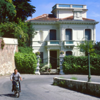
The Moyenne Corniche connects Mento to Nice and runs through the Côte d’Azur (English: French Riviera) and is named such because it is the middle cliff road between a higher and lower road. The French Riviera has long been the vacation land and…

http://www.ricdigitalcommons.com/temp/1231.jpg
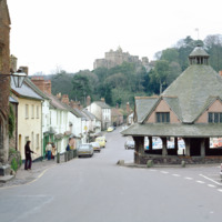
Dunster has been recognized as one of England’s best preserved medieval villages. The city developed a market for woolen and clothing production as early as the 13th century. The Yarn Market, the octagonal building at the right of the frame, was…

http://www.ricdigitalcommons.com/temp/1222.jpg
The State Historical Museum is located at the end of Red Square in Moscow. It was designed by Sherwood and Semyonov (Berton, 177) at the end of the nineteenth century. It’s facade employs a psuedo-Russian style which arbitrarily incorporates designs…

http://www.ricdigitalcommons.com/temp/1049.jpg
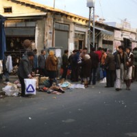
The Jaffa Flea Market is located between Yefet Street and Jerusalem Boulevard. It is heavily populated with people Sunday through Friday and offers a wide variety of goods to be purchased. These goods include a large selection of jewelry and oriental…

http://www.ricdigitalcommons.com/temp/1045.jpg
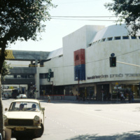
The Dizengoff Center was Israel’s first mall and was built over a period of eleven years, from 1972 to 1983. The first stores opened in 1977 and today it has a total of 420 sores. The Dizengoff Center is partly blamed for declined business on nearby…

http://www.ricdigitalcommons.com/temp/0999.jpg
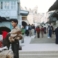
The Jaffa Gate is a gate to the Old City district of Jerusalem. This 1980 photograph shows a street scene in front of the Jaffa Gate and some of the surrounding structures.
http://www.ricdigitalcommons.com/temp/0901.jpg
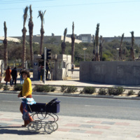
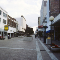
This photograph shows the entrance to Tel Aviv University’s Ramat Aviv campus. Tel Aviv University was established in 1956 after the merger of the Tel Aviv School of Law and Economics, the Institute of Natural Sciences, and the Institute of Jewish…

http://www.ricdigitalcommons.com/temp/0882.jpg
This photograph of a residential street in Tel Aviv shows traces of Scottish planner Patrick Geddes plan in the narrow street and the patches of greenery. The Geddes Plan, drafted in 1926, attempted to design Tel Aviv in the style of garden cities, a…

http://www.ricdigitalcommons.com/temp/0788.jpg
Shown on the side of this building is the optical illusion trompe l’oeil. Translated, the term stands for “deceive the eye”. This technique is achieved by using realistic imagery in order to give the optical illusion that the image is in 3D. (date…

http://www.ricdigitalcommons.com/temp/0769.jpg
This 1985 photograph shows a public mural in downtown Norfolk. The building, which in this photograph is occupied by Unlimited Tatse, is presently (2011) occupied by a Starbucks franchise. The parking lot has since been redeveloped as part of the…

http://www.ricdigitalcommons.com/temp/0762.jpg
Granby Street, once a bustling commercial district in Downtown Norfolk, saw continued decline throughout the twentieth century as retail and shopping centers moved to the suburbs. This picture, which shows a cinema advertising The Last Dragon (1985),…

http://www.ricdigitalcommons.com/temp/0737.jpg
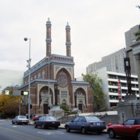
The Plum Street Temple is among the oldest American synagogue buildings still standing and in use. It was designed by James Key Wilson who blended Neo-Byzantine architecture with Moorish Revival style. It was the first of many American synagogues to…

http://www.ricdigitalcommons.com/temp/0726.jpg
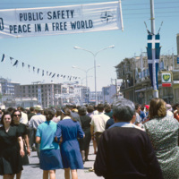
This photo from Kavala is dated October 1968. A year and a half earlier the Greek military lead a coup d’etat and the country went into a police state in which torture was common, and all activities were under surveillance. In late 1967 King…

http://www.ricdigitalcommons.com/temp/0713.jpg
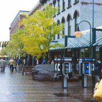
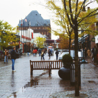
A street view of Burlington’s Church Street Marketplace, a four block pedestrian open air mall. It was established in 1972 as the Burlington Square Mall.

http://www.ricdigitalcommons.com/temp/0712.jpg
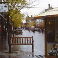
Looking north on Church Street, the Masonic Temple, designed by Wilson Brothers & Company, towers over the Burlington Square Mall, now known as the Church Street Marketplace. It is a pedestrian mall that occupies four blocks in Burlington opened…

http://www.ricdigitalcommons.com/temp/0711.jpg
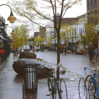
The Burlington Square Mall, now known as the Church Street Marketplace, is the center of town in Burlington, Vermont. It is a four block pedestrian mall, and a cultural and commercial hub of the city.

http://www.ricdigitalcommons.com/temp/0710.jpg
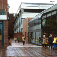
The Burlington Square Mall, now known as the Church Street Marketplace, is the center of town in Burlington, Vermont. It is a four block pedestrian mall, and a cultural and economic hub of the city.

http://www.ricdigitalcommons.com/temp/0708.jpg
Constructed in 1972, the Burlington Square mall is a four-block pedestrian mall in Burlington, Vermont.

http://www.ricdigitalcommons.com/temp/0707.jpg
The Church Street Marketplace, formerly known as the Burlington Square Mall, is a four-block pedestrian mall in the heart of Burlington, VT. This 1983 photograph shows Woolworth’s and looks down Church St. The Woolworth’s store has been replaced by…

http://www.ricdigitalcommons.com/temp/0695.jpg
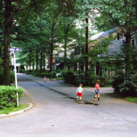
On this slide Smolski notes “Radburn Plan separated streets & pedestrians, children don’t play in streets?” Radburn, a planned community, makes extensive provisions for walkways and public lands that are separate from motor ways. In this context,…

http://www.ricdigitalcommons.com/temp/0618.jpg
Letchworth was one of the first of England’s “new towns,” and Sir Ebeneezer Howard’s first Garden City. While living in the United States, Howard was influenced by the poet Walt Whitman, among others, to tackle the problems of urban life. His idea…

http://www.ricdigitalcommons.com/temp/0596.jpg
This photograph looks west on Brasilia’s Monumental Axis under the overpasses of the North and South Roads, where the bus and subway terminals are located. Smolski notes on the slide the choice to install roundabouts rather than traffic signals.

http://www.ricdigitalcommons.com/temp/0587.jpg
This east facing view down W New York St. shows the Indianapolis’ skyline rising up from the flat midwestern landscape. The state’s two tallest buildings, the Chase Tower and the One America Tower are pictured in the center.

http://www.ricdigitalcommons.com/temp/0567.jpg
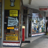
During the 1960s and 1970s large numbers of Cuban immigrants moved into Miami, many of whom settled in a neighborhood of Miami that came to be known as Little Havana. This photograph from Downtown Miami is Smolski’s illustration of the Cuban…

http://www.ricdigitalcommons.com/temp/0566.jpg
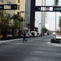
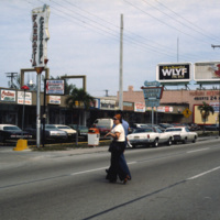
This street scene photograph was taken at the intersection of Miami Ave. and Flagler St. Smolski points out in his notes that he was interested here in the traffic light design, which is unique to the city, and are still in use today.
http://www.ricdigitalcommons.com/temp/0565.jpg
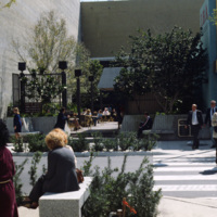
Chet Smolski photographed this as an example of a vest pocket park in Miami. Also known as mini parks, or parketts, these small urban parks are placed on vacant lots between buildings are accessible to the general public.

http://www.ricdigitalcommons.com/temp/0564.jpg
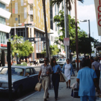
This photograph is taken at the intersection of Flagler St. and NE 1st Ave. Downtown Miami is both an urban residential neighborhood and the central business district. This specific neighborhood is known as the Jewelry District, so named for it’s…

http://www.ricdigitalcommons.com/temp/0562.jpg
An east facing view down East Flagler St. in Downtown Miami. The street is named for nineteenth century railroad magnate Henry Flagler, and it runs west across town to the Florida Turnpike. This photograph show’s two buildings that have become…

http://www.ricdigitalcommons.com/temp/0561.jpg
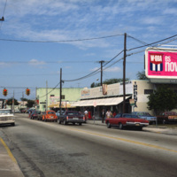
This photograph shows Cuban influence in Miami, specifically here on SW 8th St., part of Little Havana. The nickname comes from the large Cuban population concentrated in the area from the 1970s through the 1990s. The influx of Cubans in the area,…

http://www.ricdigitalcommons.com/temp/0560.jpg
This photograph shows Cuban influence in Miami, specifically here on SW 8th St., part of Little Havana. The nickname comes from the large Cuban population from the 1970s through the 1990s following an influx of Cuban refugee’s and the creation of a…

http://www.ricdigitalcommons.com/temp/0514.jpg
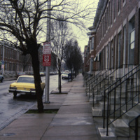
Row houses were popular in urban areas of the East Coast throughout the 19th century. Baltimore’s urban landscape has the best representation of the row house architecture, varying from grand manses to middle-class homes in various architectural…
Output Formats

atom, dcmes-xml, json, omeka-xml, rss2