Browse Items (48 total)

  • Tags: neighborhoods
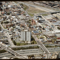
5211.jpg
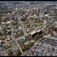
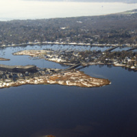
The Federal Hill neighborhood is home to approximately 8,000 residents and has been the traditional center of Rhode Island

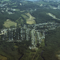
http://www.ricdigitalcommons.com/temp/4941.jpg
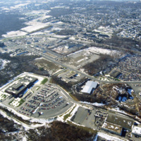
An aerial photo showing a housing subdivison located to the south of Boston, Massachusetts.

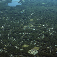
http://www.ricdigitalcommons.com/temp/4940.jpg
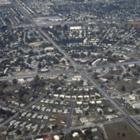
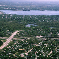
An aerial photo showing scattered housing located to the south of Boston, Massachusetts. The photo seems to overlook the town of Brockton, with Waldo Lake and Thirtyacre Pond at the top of the frame and with what is now the West Middle School at the…

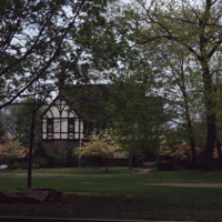
http://www.ricdigitalcommons.com/temp/4939.jpg
This 2 1/2-story Tudor Revival house was designed by Prescott O. Clarke. Clarke was a principal in the architectural firm Clarke & Spaulding and designed the home for his own residence. The home was one of the first Tudor Revival houses in Providence…

http://www.ricdigitalcommons.com/temp/4933.jpg
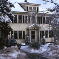
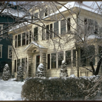
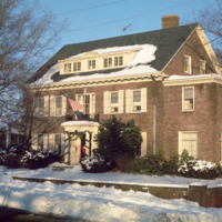
A single family home in the Blackstone neighborhood on Providence’s East Side, photographed during the winter of 1974. The East Side is the oldest, and most affluent section of Providence, containing some of the states earliest settlements.

http://www.ricdigitalcommons.com/temp/4928.jpg
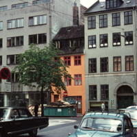
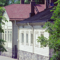
Example of a Copenhagen street scene, with a dairy shop on the far right and a wholesale agency next to it. The grey building on the far left belonged to the bicycle company Simonsen & Nielsen. The Danish movie director Jøneth Leth most likely filmed…

http://www.ricdigitalcommons.com/temp/4892.jpg
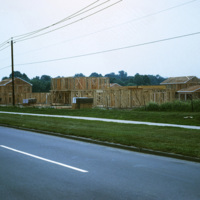
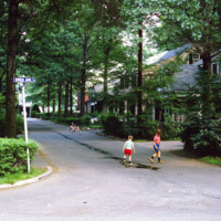
In 1954, William Levitt of Levitt & Sons, a leading residential firm, began purchasing property in Willingboro with the objective of building a residential community with few jobs and little commercial property so that the town's survival largely…

http://www.ricdigitalcommons.com/temp/4891.jpg
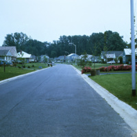
In 1954, William Levitt of Levitt & Sons, a leading residential firm, began purchasing property in Willingboro with the objective of building a residential community with few jobs and little commercial property so that the town's survival largely…

http://www.ricdigitalcommons.com/temp/4890.jpg
In 1954, William Levitt of Levitt & Sons, a leading residential firm, began purchasing property in Willingboro with the objective of building a residential community with few jobs and little commercial property so that the town's survival largely…

http://www.ricdigitalcommons.com/temp/4981.jpg
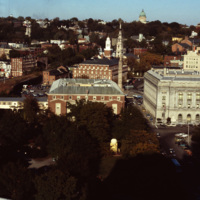
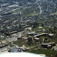
This shot overlooks the residential hills of East Providence as well as College Hill. In the middle, one can see the tower of the First Baptist Church -- to the right, the green dome of the First Church of Christ, Scientist on the horizon.

http://www.ricdigitalcommons.com/temp/4906.jpg
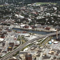
The Providence River separates the Downtown and East Side neighborhoods of Providence. The East Side is home to Brown University, and Rhode Island School of Design. Roger Williams founded Providence along College Hill, thus the East Side contains…
http://www.ricdigitalcommons.com/temp/5429.jpg
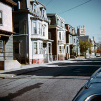
  Triple deckers photographed in the Mount Hope neighborhood of Providence.  During the later nineteenth century the Mount Hope neighborhood experienced rapid growth due to industrial activity along the nearby Moshasshuck River. Street car lines…

http://www.ricdigitalcommons.com/temp/5428.jpg
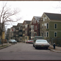
  The triple decker, a house accommodating three units, emerged as a distinct form as early as the 1890s.  Primarily a tenement, they are common throughout urban areas in southern New England.  These triple deckers on Eaton St. were likely demolished…

http://www.ricdigitalcommons.com/temp/5433.jpg
  A single family home in the Blackstone neighborhood on Providence’s East Side, photographed during the winter of 1974. The East Side is the oldest, and most affluent section of Providence, containing some of the states earliest settlements. 

http://www.ricdigitalcommons.com/temp/5411.jpg
  Housing in South Providence built under the Section 235 Housing Act of 1968.  While 235 housing allowed families to buy a home through subsidized mortgages, it has also been criticized for effectively segregating the population, putting white…

http://www.ricdigitalcommons.com/temp/5374.jpg
  The Armory Historic District of Providence was added to the National Register of Historic Places in 1989. The Cranston Street Armory is visible in the background of these Wood Street houses. Houses in the area vary in style from Greek Revival,…

http://www.ricdigitalcommons.com/temp/5150.jpg
Blighted area in Upper South Providence near Rhode Island Hospital. In-fill housing eventually filled much of the vacant land.

http://www.ricdigitalcommons.com/temp/1233.jpg
This photograph shows the density of residential housing in Turku, a city on the southwest coast of Finland. Smolski notes that the houses are built in a style similar to that of Russian housing. This photograph was made in 1974.

http://www.ricdigitalcommons.com/temp/1232.jpg
This photograph shows the residence of former Providence Mayor, “Buddy” Cianci. The house is located on the east side of Providence, the most affluent neighborhood of the city, notable for it’s high property values and low unemployment. This…

http://www.ricdigitalcommons.com/temp/1185.jpg
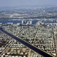
This is an aerial photograph of Saint Petersburg’s Meadowlawn Neighborhood. The land this neighborhood is built on was once a bog with woods and weeds as well as a place where cattle would come to graze from two local dairy farmers. Before it was…

http://www.ricdigitalcommons.com/temp/1175.jpg
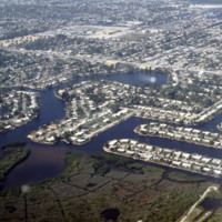
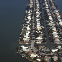
These housing developments, built on various water-ways through dredging & filling, can be found all over the coasts of St. Petersburg. Much of these neighborhoods were developed in the early 1950’s during a period of dredging and filling along…
http://www.ricdigitalcommons.com/temp/1171.jpg
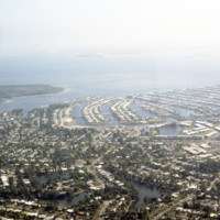
These housing developments, built on various water ways through a process of dredging & filling, can be found all over the coasts of St. Petersburg. Many of these neighborhoods were developed in the early 1950s along the Gulf Beaches and western…
http://www.ricdigitalcommons.com/temp/1089.jpg
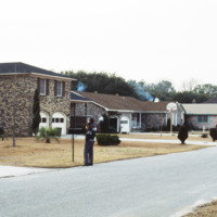
Pictured is one of the many suburban neighborhoods in Charleston. Calhoun Street, a major street running from east to west, was viewed as the major boundary separating the north suburbs from the southern urban area.
http://www.ricdigitalcommons.com/temp/0837.jpg
This aerial photograph looks north across Miami. Miami is one of the largest cities in the United States. Running across the photograph is Interstate 95. At frame left just north of the highway is the William's Island Country Club. Also seen is…

http://www.ricdigitalcommons.com/temp/0827.jpg
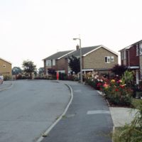
This photograph, taken in the English town of Tickhill, show’s late 20th century suburban developments in this wealthy twelfth century town. This small town has maintained it’s relatively small population, at the 2001 census it was home to 5,301…

http://www.ricdigitalcommons.com/temp/0814.jpg
This aerial photograph was taken over Warren and looks west across Barrington and to Narragansett Bay. This photograph shows the distinctive shoreline of Belcher Cover and Tyler Point. Barrington had been a part of Warren from the 1747 until 1770.…

http://www.ricdigitalcommons.com/temp/0812.jpg
This photograph shows industrial and commercial developments in East Providence along state highway 114. Just barely visible on the horizon is Narragansett bay. The containers on the bay have since been torn down and the area has largely returned…

http://www.ricdigitalcommons.com/temp/0792.jpg
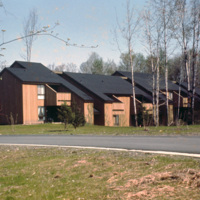
Centerville Court is an elderly housing complex in North Syracuse build in the 1970s. This housing complex, built during an oil crisis, originally used electric heating, but in recent years has been converted to natural gas to save energy coats.

http://www.ricdigitalcommons.com/temp/0774.jpg
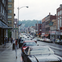
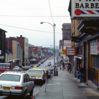
View of High St. in Morgantown on a rainy afternoon in 1981. Morgantown is the largest town in the North-Central region of West Virginia and is home to West Virginia University. At the left is the Monongahela Building, an apartment complex on High…

http://www.ricdigitalcommons.com/temp/0773.jpg
Morgantown is home to West Virginia University and is the largest town in the North-Central region of West Virginia. This photograph looks south on Rt. 119 in the First Ward neighborhood. Many of the businesses have changed since this 1981…

http://www.ricdigitalcommons.com/temp/0720.jpg
Columbia was creator James Rouse’s greatest accomplishment, and an experiment with not just a planned community, but a planned city. The city was ‘opened’ in 1967. It is a city made of ten self contained villages. This 1983 photograph shows Bryant…

http://www.ricdigitalcommons.com/temp/0698.jpg
Greenbelt is a planned community in Maryland, created as part of the New Deal during the Roosevelt administration. This photograph shows a well cared for home in Greenbelt, which was built as an American Garden City. Garden Cities, the brainchild of…

http://www.ricdigitalcommons.com/temp/0695.jpg
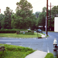
On this slide Smolski notes “Radburn Plan separated streets & pedestrians, children don’t play in streets?” Radburn, a planned community, makes extensive provisions for walkways and public lands that are separate from motor ways. In this context,…

http://www.ricdigitalcommons.com/temp/0687.jpg
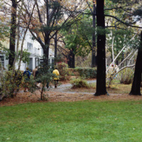
A planned community in Fair Lawn, New Jersey, Radburn has a system of walkways to encourage pedestrian traffic. This 1979 photograph shows walkways in use on a rainy afternoon. The fronts of homes in Radburn face the walkways, while the backs are on…

http://www.ricdigitalcommons.com/temp/0693.jpg
Radburn, a planned community inspired by England’s Garden Cities, emphasized common areas, like this walkway and park, and allocated a minimal amount of land to individual homes. While walkways may have had some environmental impact by encouraging…

http://www.ricdigitalcommons.com/temp/0692.jpg
Drawing influence from England’s Garden Cities, the planners of Radburn separated streets for motor vehicles from pedestrian routes. To encourage pedestrian traffic, and to create harmony between residents and nature, the rear of the houses face the…

http://www.ricdigitalcommons.com/temp/0690.jpg
The planners of Radburn, influenced by England’s Garden Cities, intended pedestrian walkways to be the main method of transportation. This is illustrated in this 1970 photograph showing the front of a home in Radburn facing one of the walkways. The…

http://www.ricdigitalcommons.com/temp/0689.jpg
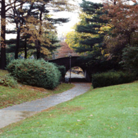
The entrance to one of Radburn’s walkways is shown in this 1970 photograph. The use of walkway’s separates pedestrian traffic from motorized traffic, and has had energy saving consequences, encouraging residents to walk for local travel rather than…

http://www.ricdigitalcommons.com/temp/0684.jpg
Radburn is a unique planned community that separates motorized transportation from pedestrian traffic. In this 1979 photograph Smolski shows a section of the pedestrian road that passes a swimming pool. Radburn was influenced by England’s Garden…

http://www.ricdigitalcommons.com/temp/0683.jpg
Radburn, a planned community in New Jersey, has over 23 acres of parks within it’s boundaries. The planners felt that with this much open space, residents wouldn’t need large yards, and therefore the homes are very close together, and relatively…

http://www.ricdigitalcommons.com/temp/0681.jpg
Radburn is a planned community in New Jersey that was influenced by England’s Garden Cities. It was founded in 1929. Ironically it was billed as, “a town for the motor age,” but modern vehicles, and families owning multiple vehicles were not…

http://www.ricdigitalcommons.com/temp/0573.jpg
Biscayne Point in Miami Beach is a residential neighborhood made up of three man made islands in Biscayne Bay. The Biscayne Point islands are a part of the North Beach, which is the are north of 63rd Ave and Collins. This aerial photograph looks down…

http://www.ricdigitalcommons.com/temp/0561.jpg
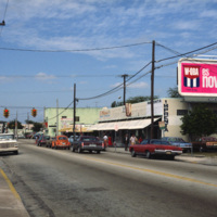
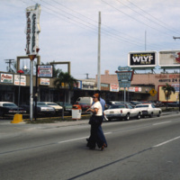
This photograph shows Cuban influence in Miami, specifically here on SW 8th St., part of Little Havana. The nickname comes from the large Cuban population concentrated in the area from the 1970s through the 1990s. The influx of Cubans in the area,…

http://www.ricdigitalcommons.com/temp/0560.jpg
This photograph shows Cuban influence in Miami, specifically here on SW 8th St., part of Little Havana. The nickname comes from the large Cuban population from the 1970s through the 1990s following an influx of Cuban refugee’s and the creation of a…

http://www.ricdigitalcommons.com/temp/0545.jpg
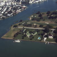
An aerial view of Indian Creek shows private residences around Indian Creek Golf Course. According to satellite photographs none of these structures are still standing, the large house with the green roof seems to have been split into three smaller…

http://www.ricdigitalcommons.com/temp/0544.jpg
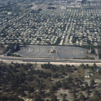
Residential neighborhoods and a drive in theater seen in this aerial photograph of Miami Beach. In the 1970s Miami Beach was largely a retirement community, but emigration from Cuba largely pushed them out in the following decade and effectively…
http://www.ricdigitalcommons.com/temp/5178.jpg
Aerial view looking east over Elmhurst and Wansuck neighborhoods in northwest Providence. Providence College in the foreground, Douglas Ave., St. Patrick’s Cemetery, and the Chad Brown Housing Project (1941). Chad Brown was the first low-rent public…
http://www.ricdigitalcommons.com/temp/5177.jpg
In 1871, Betsey Williams, great-great-grandaughter of Providence founder Roger Williams, gave the city the 102 acre tract of land with the provision that the land be used for a park or cemetery and that a memorial to Roger WIlliams be included. It…
Output Formats

atom, dcmes-xml, json, omeka-xml, rss2