Browse Items (214 total)

  • Tags: aerial

http://www.ricdigitalcommons.com/temp/4971.jpg
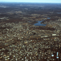
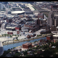
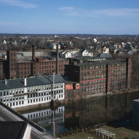
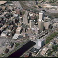
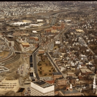
Downtown Woonsocket in 1979, featuring a view of Harris Pond and the Blackstone River. The Oak Hill Cemetery and the World War II Veterans Memorial Park can also be seen from the photo. Around the time this photo was taken, Woonsocket became the host…

http://www.ricdigitalcommons.com/temp/4950.jpg
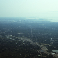
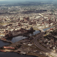
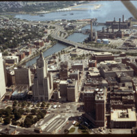
An aerial photo showing the skyline of the city Boston and the cloudy Quincy Bay to its right.

http://www.ricdigitalcommons.com/temp/4941.jpg
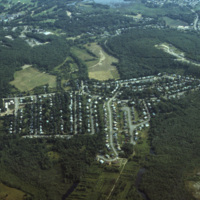
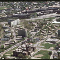
An aerial photo showing a housing subdivison located to the south of Boston, Massachusetts.

http://www.ricdigitalcommons.com/temp/4940.jpg
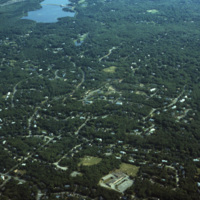
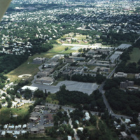
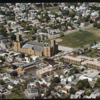
An aerial photo showing scattered housing located to the south of Boston, Massachusetts. The photo seems to overlook the town of Brockton, with Waldo Lake and Thirtyacre Pond at the top of the frame and with what is now the West Middle School at the…

http://www.ricdigitalcommons.com/temp/4918.jpg
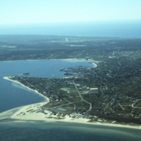
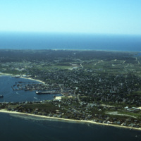
An aerial view of Nantucket Island and its harbor, in Massachusetts. Nantucket lies thirty miles south of Cape Cod, and is approximately fifteen miles in length. The town of Nantucket includes Nantucket Island as well as Tuckernuck Island, Muskegat…

http://www.ricdigitalcommons.com/temp/4917.jpg
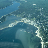
An aerial view of Nantucket Island and its harbor, in Massachusetts. Nantucket lies thirty miles south of Cape Cod, and is approximately fifteen miles in length. The town of Nantucket includes Nantucket Island as well as Tuckernuck Island, Muskegat…

http://www.ricdigitalcommons.com/temp/4916.jpg
Ray, the pilot who flew for (at least some of) Smolski's aerial photography.

http://www.ricdigitalcommons.com/temp/4915.jpg
An aerial view of Nantucket Island and its harbor, in Massachusetts. Nantucket lies thirty miles south of Cape Cod, and is approximately fifteen miles in length. The town of Nantucket includes Nantucket Island as well as Tuckernuck Island, Muskegat…

http://www.ricdigitalcommons.com/temp/4914.jpg
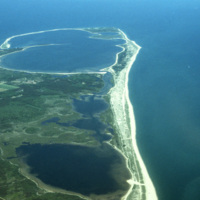
An aerial view of Nantucket Island in Massachusetts. Nantucket lies thirty miles south of Cape Cod, and is approximately fifteen miles in length. The town of Nantucket includes Nantucket Island as well as Tuckernuck Island, Muskegat Island, and a…

http://www.ricdigitalcommons.com/temp/4913.jpg
An aerial view of Nantucket Island and its harbor, in Massachusetts. Nantucket lies thirty miles south of Cape Cod, and is approximately fifteen miles in length. The town of Nantucket includes Nantucket Island as well as Tuckernuck Island, Muskegat…

http://www.ricdigitalcommons.com/temp/4912.jpg
An aerial view of Nantucket Island and its harbor, in Massachusetts. Nantucket lies thirty miles south of Cape Cod, and is approximately fifteen miles in length. The town of Nantucket includes Nantucket Island as well as Tuckernuck Island, Muskegat…

http://www.ricdigitalcommons.com/temp/4904.jpg
A view of Lake Ontario and Rochester, NY in the early 1970s. Lake Ontario is the fourteenth largest lake in the world, and one of the Great Lakes of America -- Rochester, NY is often called a Great Lake City for this reason.

http://www.ricdigitalcommons.com/temp/4877.jpg
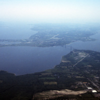
A view across Narragansett Bay, looking towards Prudence Island and the East Passage. Prudence Island is one of the largest islands in the bay. There are approximately thirty islands in the bay, and over ten different rivers flow into it from around…

http://www.ricdigitalcommons.com/temp/4874.jpg
A view across Narragansett Bay, looking towards Prudence Island and the East Passage. Prudence Island is one of the largest islands in the bay. There are approximately thirty islands in the bay, and over ten different rivers flow into it from around…

http://www.ricdigitalcommons.com/temp/4873.jpg
Poppasquash Point in Bristol, RI is home to the English-inspired, Tudor-revival, country estate known as Point Pleasant and Point Pleasant Farm. It overlooks the Bristol Harbor and provides a view of Narragansett Bay. The estate is of particular…

http://www.ricdigitalcommons.com/temp/4872.jpg
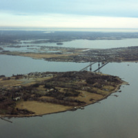
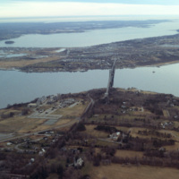
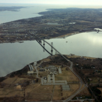
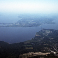
Aerial image of Roger Williams University and the Mount Hope Bridge in Bristol, Rhode Island when the school was still called Roger Williams College. The Mount Hope Bridge was constructed between 1927 and 1929. In 1956, the college purchased this…

http://www.ricdigitalcommons.com/temp/4871.jpg
Aerial image of Roger Williams University and the Mount Hope Bridge in Bristol, Rhode Island when the school was still called Roger Williams College. The Mount Hope Bridge was constructed between 1927 and 1929. In 1956, the college purchased this…

http://www.ricdigitalcommons.com/temp/4870.jpg
Aerial image of Roger Williams University and the Mount Hope Bridge in Bristol, Rhode Island when the school was still called Roger Williams College. The Mount Hope Bridge was constructed between 1927 and 1929. In 1956, the college purchased this…

http://www.ricdigitalcommons.com/temp/4800.jpg
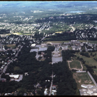
Aerial image of Roger Williams University and the Mount Hope Bridge in Bristol, Rhode Island. The Mount Hope Bridge was constructed between 1927 and 1929. In 1956, the college purchased this waterfront land just north of the bridge in Bristol and…
http://www.ricdigitalcommons.com/temp/4799.jpg
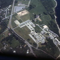
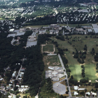
Aerial image of Roger Williams University in Bristol, Rhode Island when the school was still called Roger Williams College. In 1956 the college purchased this waterfront land in Bristol and became a two-year institution named Roger Williams Junior…
http://www.ricdigitalcommons.com/temp/5050.jpg
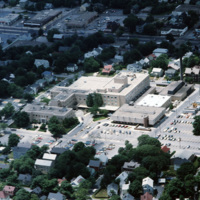
Aerial image of The Miriam Hospital in Providence. The first Miriam Hospital opened in 1926 with 63 beds and 14 bassinets but was relocated for more space to its location on Summit Avenue in 1952. The hospital was started by a group of Jewish woman…

http://www.ricdigitalcommons.com/temp/5047.jpg
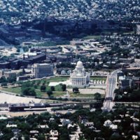
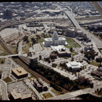
Aerial image of downtown Providence featuring the Rhode Island State House at the center. The Rhode Island State House was built in 1904, designed by McKim, Mead & White. The building's self-supporting marble dome is the fourth-largest of its kind in…

http://www.ricdigitalcommons.com/temp/4907.jpg
The Providence River separates the Downtown and East Side neighborhoods of Providence. The East Side is home to Brown University, and Rhode Island School of Design. Roger Williams founded Providence along College Hill, thus the East Side contains…

http://www.ricdigitalcommons.com/temp/4906.jpg
The Providence River separates the Downtown and East Side neighborhoods of Providence. The East Side is home to Brown University, and Rhode Island School of Design. Roger Williams founded Providence along College Hill, thus the East Side contains…

http://www.ricdigitalcommons.com/temp/4905.jpg
The northernmost points of Narragansett Bay, where it is fed by the Providence and Seekonk Rivers. The Port of Providence and Interstate 95 are in the foreground of the photograph. The construction of Interstate 95 effectively segregated Providence…

http://www.ricdigitalcommons.com/temp/4865.jpg
This 1970s view of Providence shows how the former route of Interstate 195, along with the railroad yard behind Union Station, isolated downtown Providence from the surrounding neighborhoods.

http://www.ricdigitalcommons.com/temp/4863.jpg
Downtown Providence from above, looking west across the Providence River into the cityscape. This 1976 view shows how Interstate 195 used to divide the city and occupy crucial downtown real estate. It was relocated in the 2000s to follow a more…

http://www.ricdigitalcommons.com/temp/4857.jpg
An aerial shot overlooking the Rhode Island College campus on Mount Pleasant Avenue in North Providence as well as its surroundings, such as the Triggs Memorial Golf Course and Pleasant View School. The college campus moved to this particular spot in…

http://www.ricdigitalcommons.com/temp/4856.jpg
An aerial shot overlooking the Rhode Island College campus on Mount Pleasant Avenue in Providence as well as its surroundings, such as the Triggs Memorial Golf Course and Pleasant View School. The college campus moved to this particular spot in 1958,…

http://www.ricdigitalcommons.com/temp/4852.jpg
An aerial shot overlooking the Rhode Island College campus on Mount Pleasant Avenue in North Providence as well as its surroundings, such as the Triggs Memorial Golf Course and Pleasant View School. The college campus moved to this particular spot in…

http://www.ricdigitalcommons.com/temp/4845.jpg
A west facing aerial view of Weybosset St.

http://www.ricdigitalcommons.com/temp/4844.jpg
The Lauderdale building was designed by Stone, Carpenter & Willson and constructed in 1894. The design received national attention when it published June 30, 1894 in American Architect and Building News, which made mention of it's "fireproof"…

http://www.ricdigitalcommons.com/temp/4800.jpg
Aerial image of Roger Williams University and the Mount Hope Bridge in Bristol, Rhode Island. The Mount Hope Bridge was constructed between 1927 and 1929. In 1956, the college purchased this waterfront land just north of the bridge in Bristol and…
http://www.ricdigitalcommons.com/temp/4799.jpg
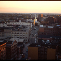
Aerial image of Roger Williams University in Bristol, Rhode Island when the school was still called Roger Williams College. In 1956 the college purchased this waterfront land in Bristol and became a two-year institution named Roger Williams Junior…
http://www.ricdigitalcommons.com/temp/5447.jpg
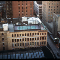
Central Falls Mill Complex in 1971. Now titled The Central Falls Mill Historic District, the complex includes a collection of six mill buildings that display pre- to post- Civil War construction examples and a stone dam that impounds the Blackstone…

http://www.ricdigitalcommons.com/temp/5232.jpg
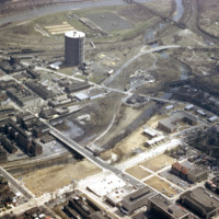
Looking west from downtown Providence, Interstate 95 runs across center frame. Parking lot in foreground is now the location of the Rhode Island Convention Center (1994) and the Westin Hotel and Residences (1993, 2007). The impressive structure at…

http://www.ricdigitalcommons.com/temp/5250.jpg
Downtown Providence is the result of a westward expansion from Market Square, the town’s first commercial center. The gradual transition of business activity across the Providence River in the early years of the nineteenth century resulted in…

http://www.ricdigitalcommons.com/temp/5246.jpg
  India Point Park is a park in the Fox Point neighborhood of Providence, Rhode Island at the confluence of the Seekonk River and Providence River. The park takes its name from the maritime activity connecting Providence with the East and West…
http://www.ricdigitalcommons.com/temp/5245.jpg
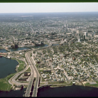
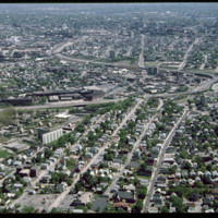
  Olneyville, one of the oldest neighborhoods in Providence, is located in the central western section of the city. 

http://www.ricdigitalcommons.com/temp/5229.jpg
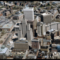
  Here is an aerial view of Downtown Providence. Providence is among America’s oldest cities and has been rebuilt many times. Providence has been one of Rhode Island’s strongest economic ports along with Newport. The city was founded by Roger…

http://www.ricdigitalcommons.com/temp/5221.jpg
The Biltmore Hotel can be seen in the lower right of the image as well as Kennedy Plaza in the foreground. The Biltmore originally opened in 1922. It was closed in 1975 and reopened in 1979. Towards the center of the photo is the Financial District…

http://www.ricdigitalcommons.com/temp/5212.jpg
The working class housing of the Hartford neighborhood was destroyed when the Route 6 connector was built to alleviate traffic in Olneyville Square. Low-income housing (Hartoford Park Public Housing Project seen here) was built on Corbusian…

http://www.ricdigitalcommons.com/temp/5183.jpg
Built in 1907 as the home of the Rhode Island National Guard, the Cranston Street Armory is massive -- 165,000 square feet of space, with a central hall the size of two football fields. Throughout its 90 years, the armory has hosted civic functions…

http://www.ricdigitalcommons.com/temp/5173.jpg
The Weybosset Hill area is bounded by Empire St. on the east, Broad and Washington Streets on the south and north, and Interstate 95 on the west. Redevelopment of this area stemmed from a 1959 recommendation of the City Plan Commission's master plan…

http://www.ricdigitalcommons.com/temp/5157.jpg
The area that comprises Kennedy Plaza and Exchange Terrace has been so constantly reworked that hardly ten years passes without its appearance being significantly altered. According to Woodward, tracking all these alterations in order to “fully…

http://www.ricdigitalcommons.com/temp/5132.jpg
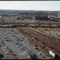
The railroad yard and parking lots that separated Providence's downtown from the Capital Center were locally referred to as a "Chinese wall." This 1983 view shows how the government offices were isolated from the rest of Providence by both these…

http://www.ricdigitalcommons.com/temp/5118.jpg
Manchester Street Power Station (1904) is a Georgian power house located on 12 acres in Providence, Rhode Island. It produces enough electricity to power about 112,000 homes, using natural gas as its fuel. Manchester Street consists of three…

http://www.ricdigitalcommons.com/temp/5115.jpg
Aerial view of Interstate 95, new train tracks, the Charles Street area in the city’s North End (including the U.S. Post Office by Maguire and Associates, 1960), and the East Side.

http://www.ricdigitalcommons.com/temp/1300.jpg
This photograph shows the the Urban Renewal Project area of Allentown before construction began. As in many cities, urban renewal in Allentown displaced many individuals and families. While Allentown did achieve some new apartment complex's, elderly…

http://www.ricdigitalcommons.com/temp/1324.jpg
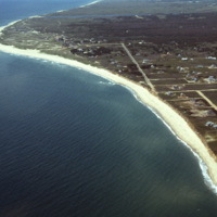
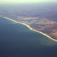
Aerial view of Rhode Islands southern shore, including Charlestown and Green Hill Beaches. Charlestown is a public beach that offers camping and recreational activities. Green Hills Beach is a private club founded in 1961.
Output Formats

atom, dcmes-xml, json, omeka-xml, rss2