Browse Items (65 total)

  • Tags: industry

4978.jpg
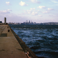
A view of downtown Providence from the city pier, across the Providence River.

http://www.ricdigitalcommons.com/temp/4905.jpg
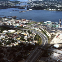
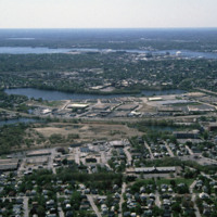
The northernmost points of Narragansett Bay, where it is fed by the Providence and Seekonk Rivers. The Port of Providence and Interstate 95 are in the foreground of the photograph. The construction of Interstate 95 effectively segregated Providence…

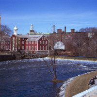
http://www.ricdigitalcommons.com/temp/5447.jpg
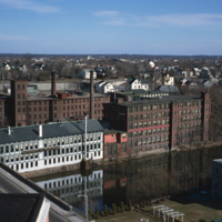
Central Falls Mill Complex in 1971. Now titled The Central Falls Mill Historic District, the complex includes a collection of six mill buildings that display pre- to post- Civil War construction examples and a stone dam that impounds the Blackstone…

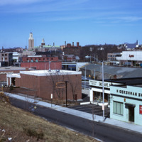
http://www.ricdigitalcommons.com/temp/5232.jpg
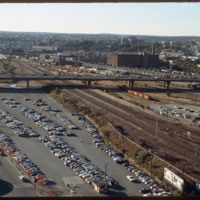
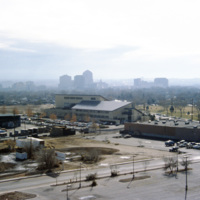
Looking west from downtown Providence, Interstate 95 runs across center frame. Parking lot in foreground is now the location of the Rhode Island Convention Center (1994) and the Westin Hotel and Residences (1993, 2007). The impressive structure at…

http://www.ricdigitalcommons.com/temp/1300.jpg
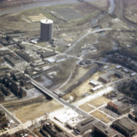
This photograph shows the the Urban Renewal Project area of Allentown before construction began. As in many cities, urban renewal in Allentown displaced many individuals and families. While Allentown did achieve some new apartment complex's, elderly…

http://www.ricdigitalcommons.com/temp/1307.jpg
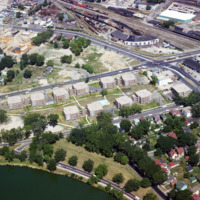
This aerial view of Madison’s Triangle housing project shows both recently completed public housing as well as construction of addition housing.

http://www.ricdigitalcommons.com/temp/1306.jpg
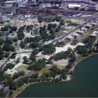
This aerial view of Madison’s Triangle housing project shows both recently completed public housing as well as construction of addition housing.

http://www.ricdigitalcommons.com/temp/1292.jpg
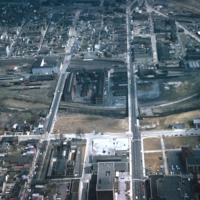
Allentown saw significant economic growth in the 19th century due to the industrial revolution. it was an exporter of iron which was exported through the Lehigh Valley Railroad. This photo, likely taken around 1975, shows a rail yard, and some…

http://www.ricdigitalcommons.com/temp/1095.jpg
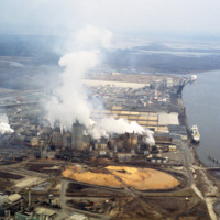
This photograph shows industrial zoning in North Charleston. The city was incorporated in 1972 from several different smaller areas. Within a decade it had become the third largest city in the state and the state's major industrial and commercial…

http://www.ricdigitalcommons.com/temp/0812.jpg
This photograph shows industrial and commercial developments in East Providence along state highway 114. Just barely visible on the horizon is Narragansett bay. The containers on the bay have since been torn down and the area has largely returned…

http://www.ricdigitalcommons.com/temp/0794.jpg
Albuquerque’s skyline in 1993, shortly after construction of the Albuquerque Plaza (1990). it’s distinct shape can be seen in the center in this photograph. While it saw much of the same cycle of decline and urban renewal as many US cities in the…

http://www.ricdigitalcommons.com/temp/0571.jpg
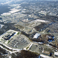
This industrial park in Miami is likely located on the western outskirts of town, where most of Miami’s warehouses and stone quarrying industries are located, extending into neighboring suburbs Doral and Hialeah.

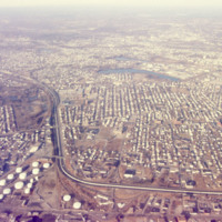
5293.jpg
An aerial view of South Providence.  This image looks west, with Allens Ave. running parallel to the bottom of the picture plane and Interstate 95 prominently curving through the center of the image.  

http://www.ricdigitalcommons.com/temp/5453.jpg
In 1793, the Old Slater Mill was constructed.  The site of the mill and the water power rights had been purchased in 1791 by Moses Brown and Oziel Wilkinson for "350 Spanish milled dollars".  It was bought from Cynthia Jenks as executrix of the will…

http://www.ricdigitalcommons.com/temp/5452.jpg
industrial Pawtucket along with some of the stores located near the Apex center.

http://www.ricdigitalcommons.com/temp/5451.jpg
  Seen here is the development taking place in Pawtucket and Blackstone Mill. Also seen here is the dumping that’s going on along the Blackstone River. To the right is a view of the triple deckers in Pawtucket. 

http://www.ricdigitalcommons.com/temp/5446.jpg
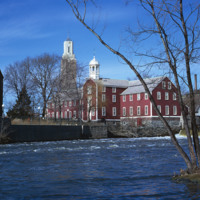
  Slater Mill Historic Site, also known as Slater Mill or Old Slater Mill, is located on the Blackstone River in Pawtucket, RI. Slater Mill was built in 1793. It served as the first commercially viable water-powered roller cotton-spinning mill in the…

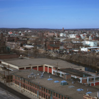
5249.jpg
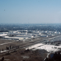
Huntington Industrial Park was formerly part of the West Elmwood neighborhood. The construction of Route 10 and a nation wide urban renewal movement in the mid 20th century led to the demolition of the neighborhood in favor of highway and trucking…

http://www.ricdigitalcommons.com/Baxter_temp/CV-89-053.jpg
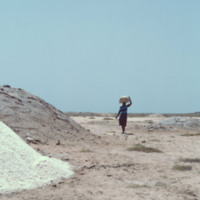
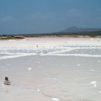
Piles of salt arranged near a salt pan on Maio. A woman transports some using a container balanced on her head.

These large salt pans, or salinas, located near Vila do Maio, were the islands main source of income for centuries. Salt from these…

http://www.ricdigitalcommons.com/Baxter_temp/CV-89-052.jpg
Piles of salt arranged near a salt pan on Maio. A woman transports some using a container balanced on her head.

These large salt pans, or salinas, located near Vila do Maio, were the islands main source of income for centuries. Salt from these…

http://www.ricdigitalcommons.com/Baxter_temp/CV-89-051.jpg
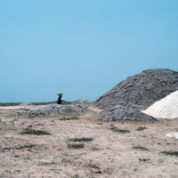
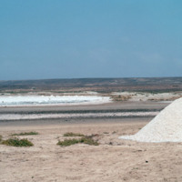
These large salt pans, or salinas, located near Vila do Maio, were the islands main source of income for centuries. Salt from these pans was transported to an English port where it was then shipped to various countries around the world. The business…

http://www.ricdigitalcommons.com/Baxter_temp/CV-89-050.jpg
These large salt pans, or salinas, located near Vila do Maio, were the islands main source of income for centuries. Salt from these pans was transported to an English port where it was then shipped to various countries around the world. The business…

http://www.ricdigitalcommons.com/Baxter_temp/CV-89-049.jpg
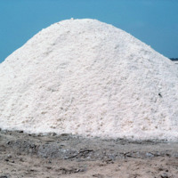
A pile of salt mined from salt pans located near Vila do Maio. The salinas were the islands main source of income for centuries. Salt from these pans was transported to an English port where it was then shipped to various countries around the world.…

http://www.ricdigitalcommons.com/Baxter_temp/CV-89-048.jpg
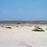
These large salt pans, or salinas, located near Vila do Maio, were the islands main source of income for centuries. Salt from these pans was transported to an English port where it was then shipped to various countries around the world. The business…

http://www.ricdigitalcommons.com/Baxter_temp/CV-89-047.jpg
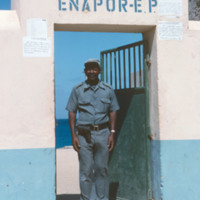
A man poses outside an ENAPOR, the Cape Verdean port authority. This location is on Maio. ENAPOR is a government organization in Cape Verde that charges for handling, storage and delivery of goods at ports.

http://www.ricdigitalcommons.com/Baxter_temp/CV-89-018.jpg
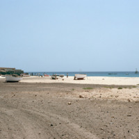
This photograph of the shoreline at Vila do Maio shows a variety of waterfront activity. In the foreground small fishing vessels are stored on the beach while larger ships can be seen just off the shore of the island. To the far right some people…

http://www.ricdigitalcommons.com/Baxter_temp/CV-89-014.jpg
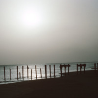
A silhouetted image of the ruins of a dock near Vila do Maio. Until the 19th century the island was a large exporter of salt that was mined on the island. Tarrifs introduced by Brazil in the 19th century, which was the principle market for the island…

http://www.ricdigitalcommons.com/Baxter_temp/CV-88-012.jpg
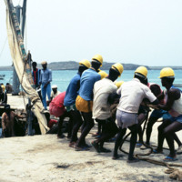
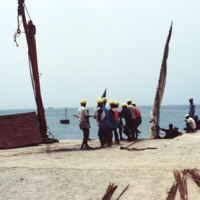
Dockworkers straining to unload steel cable wire from a small vessel at the Port of Sal Rei.

http://www.ricdigitalcommons.com/Baxter_temp/CV-88-011.jpg
A group of dock workers unloads steel cables from a small vessel at the Port of Sal Rei.

http://www.ricdigitalcommons.com/Baxter_temp/CV-88-008.jpg
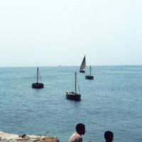
A view from the Port of Sal Rei. In the foreground two boys look out onto the Atlantic Ocean which is dotted with small fishing vessels. On the horizon a larger commercial ship can be seen.

http://www.ricdigitalcommons.com/Baxter_temp/CV-88-004.jpg
A seascape view of Sal Rei including a small dock that extends into the Atlantic Ocean. A team of dock workers can be seen unloading cargo from a small craft at the dock.

http://www.ricdigitalcommons.com/Baxter_temp/CV-83-011.jpg
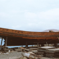
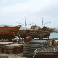
Fishing boat maintenance at Porto Grande. Wooden fishing boats are brought into dry dock for repair and maintenance.

http://www.ricdigitalcommons.com/Baxter_temp/CV-83-010.jpg
Boats in dry dock at Porto Grande are maintained and repaired.

http://www.ricdigitalcommons.com/Baxter_temp/CV-83-009.jpg
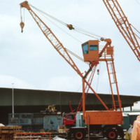
Machinery used for boat maintenance at Porto Grande. Here, two cranes are pictured, which may also be used for loading and unloading cargo.

http://www.ricdigitalcommons.com/Baxter_temp/CV-83-003.jpg
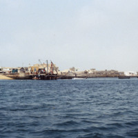
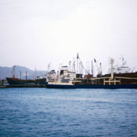
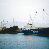
Cargo and fishing vessels docked at Porto Grande, the country's largest port. Porto Grande is located in Mindelo. Porto Grande is used for imports but also as a storage port for visiting vessels. It was equiped with a fish freezing plant a few years…

http://www.ricdigitalcommons.com/Baxter_temp/CV-83-002.jpg
Cargo and fishing vessels docked at Porto Grande, the country's largest port. Porto Grande is located in Mindelo. Porto Grande is used for imports but also as a storage port for visiting vessels. It was equiped with a fish freezing plant a few years…

http://www.ricdigitalcommons.com/Baxter_temp/CV-81-278.jpg
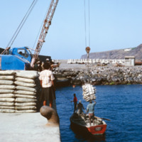
Cargo is lifted from this wooden boat by crane and moved to the docks of Porto de Vale de Cavaleiros. The cargo is believed to be from a larger, commercial ship docked about 100 m off shore (see "Commercial Vessel, Docked").

http://www.ricdigitalcommons.com/Baxter_temp/CV-81-277.jpg
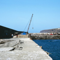
Photograph taken from the sea protection wall at Porto de Vale de Cavaleiros on Fogo. The port, approximately 4 km north of São Felipe, is also a popular place for swimming because the harbor provides some protection from the sea.

http://www.ricdigitalcommons.com/Baxter_temp/CV-81-275.jpg
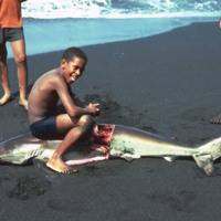
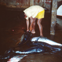
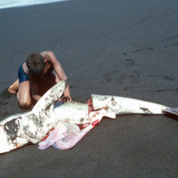
A young man on a Fogo beach, near São Felipe, guts a shark that has just been caught by local fishermen. The black sand beaches of Fogo are surrounded by ominous cliffs that have been carved over thousands of years by Atlantic breakers.

http://www.ricdigitalcommons.com/Baxter_temp/CV-81-274.jpg
A young man guts a shark that has been caught and brought back to shore. This beach is located near São Felipe on Fogo.

http://www.ricdigitalcommons.com/Baxter_temp/CV-81-272.jpg
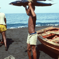
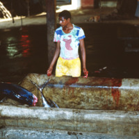
A young man on the shore of Fogo holds a fresh catch over his head. It appears that he has caught a tuna and a shark.
http://www.ricdigitalcommons.com/Baxter_temp/CV-81-271.jpg
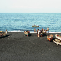
Fishermen and their vessels on the shore of a black sand beach near São Felipe. The beaches are short and quickly give way to ominous cliffs that begin the steep slope of Fogo, the volcano island.

http://www.ricdigitalcommons.com/Baxter_temp/CV-81-269.jpg
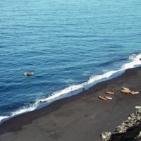
A view from above shows a beach near São Felipe from which a group of fishermen appear to be returning from a days work on the ocean. This photograph is taken from atop on of Fogo's ominous cliffs, carved out by Atlantic breakers. The black sand…

http://www.ricdigitalcommons.com/Baxter_temp/CV-81-255.jpg
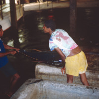
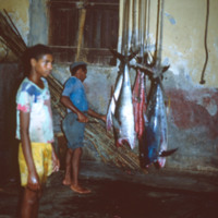
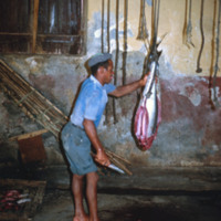
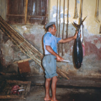
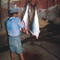
A worker at a tuna cannery decapitates freshly caught tuna in order to prepare it for processing and canning. This cannery is believed to be the first to open in Cape Verde.
http://www.ricdigitalcommons.com/Baxter_temp/CV-81-254.jpg
Workers at tuna cannery prepare a fresh catch of tuna for processing and canning.
http://www.ricdigitalcommons.com/Baxter_temp/CV-81-253.jpg
Workers handle freshly caught tuna at a cannery in Tarrafal.

http://www.ricdigitalcommons.com/Baxter_temp/CV-81-252.jpg
Workers at a tuna cannery in Tarrafal, São Nicolau, remove the meat from tuna in preparation for canning. This cannery is believed to be the first in Cape Verde.

http://www.ricdigitalcommons.com/Baxter_temp/CV-81-250.jpg
A worker in a tuna cannery processes meat in preparation for canning. This cannery is located in Tarrafal, São Nicolau.

http://www.ricdigitalcommons.com/Baxter_temp/CV-81-249.jpg
A worker in a tuna cannery processes meat in preparation for canning. This cannery is located in Tarrafal, São Nicolau.

http://www.ricdigitalcommons.com/Baxter_temp/CV-81-248.jpg
A worker in a tuna cannery processes meat in preparation for canning. This cannery is located in Tarrafal, São Nicolau.
Output Formats

atom, dcmes-xml, json, omeka-xml, rss2