Browse Items (14 total)

  • Tags: shoreline

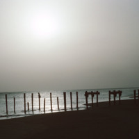
http://www.ricdigitalcommons.com/Baxter_temp/CV-89-014.jpg
A silhouetted image of the ruins of a dock near Vila do Maio. Until the 19th century the island was a large exporter of salt that was mined on the island. Tarrifs introduced by Brazil in the 19th century, which was the principle market for the island…

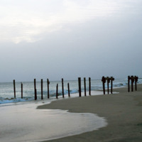
http://www.ricdigitalcommons.com/Baxter_temp/CV-89-013.jpg
The posts of a ruined dock near the Vila do Maio.

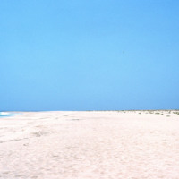
http://www.ricdigitalcommons.com/Baxter_temp/CV-89-011.jpg
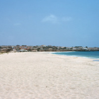
Looking away from Vila do Maio, this view shows the long flat shoreline from a beach near the islands primary settlement.

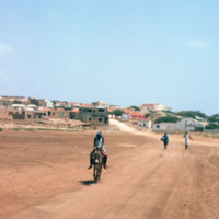
http://www.ricdigitalcommons.com/Baxter_temp/CV-89-008.jpg
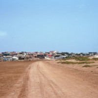
Vila do Maio photographed from a dirt road that connects the village to a nearby beach. This view shows how this village, which lies on a steep but small hill, rises dramatically from the shoreline. At the center of the village is a 19th century…

http://www.ricdigitalcommons.com/Baxter_temp/CV-89-007.jpg
Vila do Maio photographed from a dirt road that connects the village to a nearby beach. This view shows how this village, which lies on a steep but small hill, rises dramatically from the shoreline. At the center of the village is a 19th century…

http://www.ricdigitalcommons.com/Baxter_temp/CV-89-006.jpg
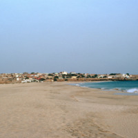
Vila do Maio photographed from a beach northwest of the village. This view shows how this village, built on a small, steep hill, rises dramatically from the shoreline. At the center of the village is a 19th century Baroque church that was completed…

http://www.ricdigitalcommons.com/Baxter_temp/CV-89-005.jpg
Vila do Maio photographed from a beach northwest of the village. This view shows how this village, built on a small, steep hill, rises dramatically from the shoreline. At the center of the village is a 19th century Baroque church that was completed…

http://www.ricdigitalcommons.com/Baxter_temp/CV-89-004.jpg
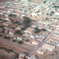
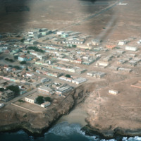
An aerial view of Vila do Maio taken from a low altitude taking during an air approach to the island. This photograph is centered around a 19th century Baroque church that was completed in 1892.

http://www.ricdigitalcommons.com/Baxter_temp/CV-89-003.jpg
An aerial view of Vila do Maio taken from a low altitude taking during an air approach to the island.

http://www.ricdigitalcommons.com/Baxter_temp/CV-89-002.jpg
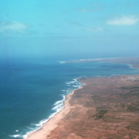
An aerial view of the western coast of Maio. This north facing view shows a beach leading away from Vila do Maio and Calheta on the horizon, center right in this photograph.

http://www.ricdigitalcommons.com/Baxter_temp/CV-88-001.jpg
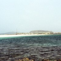
Sal Rei, the main settlement on the island Boavista, is seen on the horizon in this seascape photographed by David Baxter in 1988.

http://www.ricdigitalcommons.com/Baxter_temp/CV-81-346.jpg
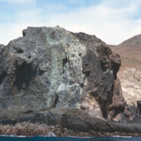
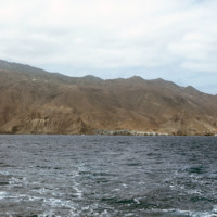
The rocky and steep coastline of Brava photographed during a journey by small boat from Faj

http://www.ricdigitalcommons.com/Baxter_temp/CV-81-315.jpg
The coastline of Brava is photographed from a boat that has voyaged from Fogo. On the right of the frame you can see the port city of Furna.

http://www.ricdigitalcommons.com/Baxter_temp/CV-81-100.jpg
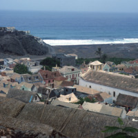
Ribeira Grande, known locally as Povoação, is a town between the Atlantic Ocean and the cliffs that is known for it's cobblestone streets. It is the commercially center of the otherwise agricultural region of the island. Here Baxter shows an elevated…
Output Formats

atom, dcmes-xml, json, omeka-xml, rss2