Browse Items (161 total)

  • Tags: waterfront
http://www.ricdigitalcommons.com/temp/5079.jpg
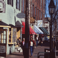
A street scene of Old Port, the historic waterfront district in downtown Portland, Maine. The neighborhood is popular for its waterfront views, galleries, and restaurants. As of 2016, this storefront located at 9 Moulton St is occupied by Mexicali…
http://www.ricdigitalcommons.com/temp/4918.jpg
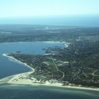
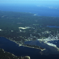
An aerial view of Nantucket Island and its harbor, in Massachusetts. Nantucket lies thirty miles south of Cape Cod, and is approximately fifteen miles in length. The town of Nantucket includes Nantucket Island as well as Tuckernuck Island, Muskegat…

http://www.ricdigitalcommons.com/temp/4917.jpg
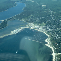
An aerial view of Nantucket Island and its harbor, in Massachusetts. Nantucket lies thirty miles south of Cape Cod, and is approximately fifteen miles in length. The town of Nantucket includes Nantucket Island as well as Tuckernuck Island, Muskegat…

http://www.ricdigitalcommons.com/temp/4915.jpg
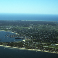
An aerial view of Nantucket Island and its harbor, in Massachusetts. Nantucket lies thirty miles south of Cape Cod, and is approximately fifteen miles in length. The town of Nantucket includes Nantucket Island as well as Tuckernuck Island, Muskegat…

http://www.ricdigitalcommons.com/temp/4914.jpg
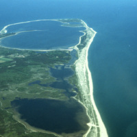
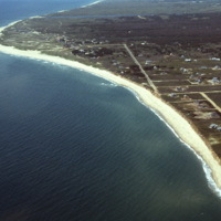
An aerial view of Nantucket Island in Massachusetts. Nantucket lies thirty miles south of Cape Cod, and is approximately fifteen miles in length. The town of Nantucket includes Nantucket Island as well as Tuckernuck Island, Muskegat Island, and a…

http://www.ricdigitalcommons.com/temp/4913.jpg
An aerial view of Nantucket Island and its harbor, in Massachusetts. Nantucket lies thirty miles south of Cape Cod, and is approximately fifteen miles in length. The town of Nantucket includes Nantucket Island as well as Tuckernuck Island, Muskegat…

http://www.ricdigitalcommons.com/temp/4912.jpg
An aerial view of Nantucket Island and its harbor, in Massachusetts. Nantucket lies thirty miles south of Cape Cod, and is approximately fifteen miles in length. The town of Nantucket includes Nantucket Island as well as Tuckernuck Island, Muskegat…

http://www.ricdigitalcommons.com/temp/4877.jpg
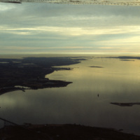
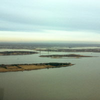
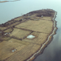
A view across Narragansett Bay, looking towards Prudence Island and the East Passage. Prudence Island is one of the largest islands in the bay. There are approximately thirty islands in the bay, and over ten different rivers flow into it from around…

http://www.ricdigitalcommons.com/temp/4874.jpg
A view across Narragansett Bay, looking towards Prudence Island and the East Passage. Prudence Island is one of the largest islands in the bay. There are approximately thirty islands in the bay, and over ten different rivers flow into it from around…

http://www.ricdigitalcommons.com/temp/4873.jpg
Poppasquash Point in Bristol, RI is home to the English-inspired, Tudor-revival, country estate known as Point Pleasant and Point Pleasant Farm. It overlooks the Bristol Harbor and provides a view of Narragansett Bay. The estate is of particular…

http://www.ricdigitalcommons.com/temp/4872.jpg
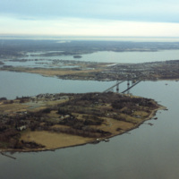
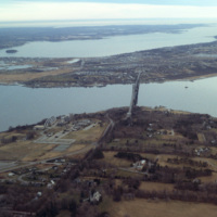
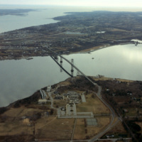
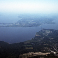
Aerial image of Roger Williams University and the Mount Hope Bridge in Bristol, Rhode Island when the school was still called Roger Williams College. The Mount Hope Bridge was constructed between 1927 and 1929. In 1956, the college purchased this…

http://www.ricdigitalcommons.com/temp/4871.jpg
Aerial image of Roger Williams University and the Mount Hope Bridge in Bristol, Rhode Island when the school was still called Roger Williams College. The Mount Hope Bridge was constructed between 1927 and 1929. In 1956, the college purchased this…

http://www.ricdigitalcommons.com/temp/4870.jpg
Aerial image of Roger Williams University and the Mount Hope Bridge in Bristol, Rhode Island when the school was still called Roger Williams College. The Mount Hope Bridge was constructed between 1927 and 1929. In 1956, the college purchased this…

http://www.ricdigitalcommons.com/temp/4800.jpg
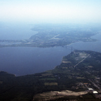
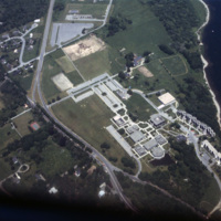
Aerial image of Roger Williams University and the Mount Hope Bridge in Bristol, Rhode Island. The Mount Hope Bridge was constructed between 1927 and 1929. In 1956, the college purchased this waterfront land just north of the bridge in Bristol and…
http://www.ricdigitalcommons.com/temp/4799.jpg
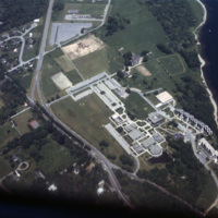
Aerial image of Roger Williams University in Bristol, Rhode Island when the school was still called Roger Williams College. In 1956 the college purchased this waterfront land in Bristol and became a two-year institution named Roger Williams Junior…
4978.jpg
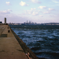
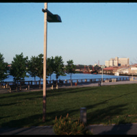
A view of downtown Providence from the city pier, across the Providence River.

http://www.ricdigitalcommons.com/temp/4906.jpg
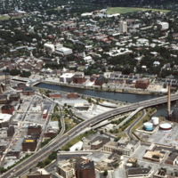
The Providence River separates the Downtown and East Side neighborhoods of Providence. The East Side is home to Brown University, and Rhode Island School of Design. Roger Williams founded Providence along College Hill, thus the East Side contains…

http://www.ricdigitalcommons.com/temp/4905.jpg
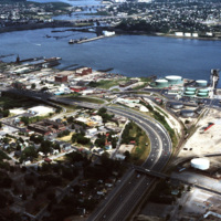
The northernmost points of Narragansett Bay, where it is fed by the Providence and Seekonk Rivers. The Port of Providence and Interstate 95 are in the foreground of the photograph. The construction of Interstate 95 effectively segregated Providence…

http://www.ricdigitalcommons.com/temp/4863.jpg
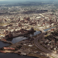
Downtown Providence from above, looking west across the Providence River into the cityscape. This 1976 view shows how Interstate 195 used to divide the city and occupy crucial downtown real estate. It was relocated in the 2000s to follow a more…

http://www.ricdigitalcommons.com/temp/4854.jpg
India Point Park is located in Fox Point, a Providence neighborhood, at the junction of the Seekonk River and Providence River. The area that became India Point Park had previously been developed wharves, ships' provisioners, and light industrial…

http://www.ricdigitalcommons.com/temp/4800.jpg
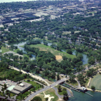
Aerial image of Roger Williams University and the Mount Hope Bridge in Bristol, Rhode Island. The Mount Hope Bridge was constructed between 1927 and 1929. In 1956, the college purchased this waterfront land just north of the bridge in Bristol and…
http://www.ricdigitalcommons.com/temp/4799.jpg
Aerial image of Roger Williams University in Bristol, Rhode Island when the school was still called Roger Williams College. In 1956 the college purchased this waterfront land in Bristol and became a two-year institution named Roger Williams Junior…
http://www.ricdigitalcommons.com/temp/1277.jpg
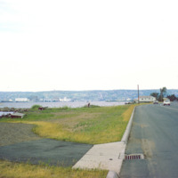
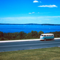
Duluth is a port city that is a hub for various regional commodities, including ore and agricultural products. This photograph shows a road on the shore of Lake Superior and looks toward Duluth.

http://www.ricdigitalcommons.com/temp/1324.jpg
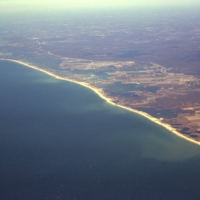
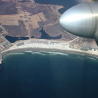
Aerial view of Rhode Islands southern shore, including Charlestown and Green Hill Beaches. Charlestown is a public beach that offers camping and recreational activities. Green Hills Beach is a private club founded in 1961.

http://www.ricdigitalcommons.com/temp/1322.jpg
Scarborough beach as seen from the air in 1967. The beach was established as a public park in 1937 and in the late 1980s it under went renovation. Today Scarborough Beach continues to be a major destination for Rhode Island residents.

http://www.ricdigitalcommons.com/temp/1320.jpg
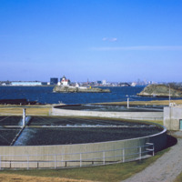
The East Providence Waste Water Treatment Facility was constructed between 1952 and 1954, opening in 1954. The Pomham Lighthouse, located in Narragansett Bay and in the center of this photograph, was operated by the U.S. Coast Guard from the time it…

http://www.ricdigitalcommons.com/temp/1282.jpg
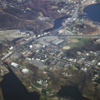
Apponaug is the center, or downtown, of Warwick, the second largest city in Rhode Island. Centered in this photograph is the City Hall, completed as the town hall in 1894, the city spent $75,000 to complete what is one of the most significant 19th…

http://www.ricdigitalcommons.com/temp/1279.jpg
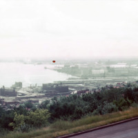
View of Superior Bay and Duluth likely taken at Enger Park or Enger Tower. Enger Tower is observation tower in Duluth that is made of blue stone and was dedicated in 1939 by Crown Prince Olav and Crown Princess Martha of Norway. Superior Bay is a…

http://www.ricdigitalcommons.com/temp/1278.jpg
An overcast view of Minnesota taken from Minnesota Point, looking north. Minnesota Point, at seven miles long, creates Superior Bay which is a hub of commerce for both Duluth, Minnesota and Superior, Wisconsin.

http://www.ricdigitalcommons.com/temp/1276.jpg
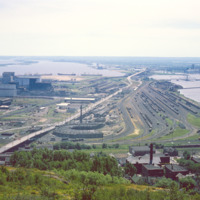
Rail yard at Rices Point, on the shore of Lake Superior. The yard was owned by Northwestern Pacific Railroad (NP) at the time of this photograph (1964). The Blatnik Bridge, an automobile bridge, was completed in 1961 and carried auto traffic between…

http://www.ricdigitalcommons.com/temp/1273.jpg
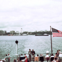
Photographed from Milkwakee Bay, this photograph shows the Milwaukee skyline as it was in 1962. Conspicuously absent are the sky scrapers that now dominate the skyline, which would be built in the following decades.

http://www.ricdigitalcommons.com/temp/1266.jpg
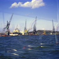
The Port of Amsterdam, the second largest port in the Netherlands, is located on the banks of the North Sea Canal. Activity in the port dates to the 13th century. This photograph taken from the North Sea Canal shows the Port of Amsterdam in 1969.

http://www.ricdigitalcommons.com/temp/1258.jpg
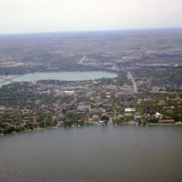
Lake Wingra and Lake Monona are two of the lakes the Yahara River passes through on it’s way to the Rock River. This aerial photograph shows the lakes and surrounding city of Wisconsin.

http://www.ricdigitalcommons.com/temp/1257.jpg
The Yahara River is a tributary of the Rock River that connects all of the lakes around which Madison was built. This photograph shows a section of the stream that passes Tenney Park, a public park named for the local lawyer, Daniel K. Tenney, who…

http://www.ricdigitalcommons.com/temp/1256.jpg
Lake Mendota is one of the two lakes that creates the isthmus which is home to Madison Wisconsin. This photo, from the summer of 1964, shows a Volkswagen Microbus parked by the shore of the lake, which is a popular destination for water sports and…

http://www.ricdigitalcommons.com/temp/1192.jpg
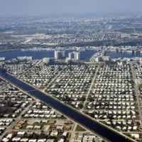
These housing developments, built on various water-ways through what can be an environmentally harmful dredging & filling process, can be found all over the coasts of St. Petersburg. Much of these neighborhoods were developed in the early 1950’s…

http://www.ricdigitalcommons.com/temp/1167.jpg
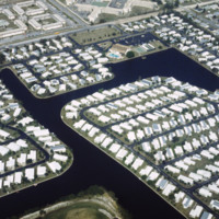
Photographed from Mirror Lake Drive, Mirror Lake is one of many lakefront neighborhoods in St. Petersburg. Mirror Lake is located in a section of St. Petersburg known as Round Lake Historic District, designated as such in 2003. In this picture the…
http://www.ricdigitalcommons.com/temp/1141.jpg
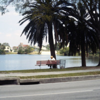
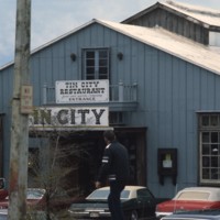
Pictured is the entrance to historic Tin City, named for its distinguishable tin roofed buildings. Ever since the 1880s, this area of waterfront has attracted many tourists. In earlier times, access to this area was rather difficult; passengers has…
http://www.ricdigitalcommons.com/temp/1095.jpg
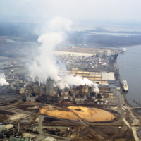
This photograph shows industrial zoning in North Charleston. The city was incorporated in 1972 from several different smaller areas. Within a decade it had become the third largest city in the state and the state's major industrial and commercial…
http://www.ricdigitalcommons.com/temp/1081.jpg
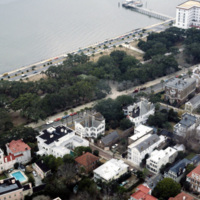
This photograph of downtown Charleston reflects the city’s prosperity during the nineteenth century. At the center left of the frame is the Battery Carriage House Inn, a large home built by Samuel N. Stevens in 1843. Colonel Lathers commissioned…

http://www.ricdigitalcommons.com/temp/1037.jpg
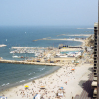
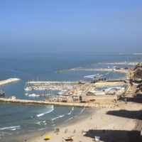
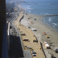
The Tel Aviv Beach was developed into a resort after it’s economic potential was realized by Mayor Dizengoff in the 1930s. Originally the development was to follow the Gruenblatt plan, which followed the Geddes plan for the city, but planned to…

http://www.ricdigitalcommons.com/temp/0895.jpg
The Tel Aviv Beach was developed into a resort after it’s economic potential was realized by Mayor Dizengoff in the 1930s. Originally the development was to follow the Gruenblatt plan, which followed the Geddes plan for the city, but planned to…

http://www.ricdigitalcommons.com/temp/0892.jpg
This section of beach in Tel Aviv, sometimes called Chanky Beach, is part of Tel Aviv’s coastline that draws in large numbers of tourists each year. The proximity to the Mediterranean Ocean brings the city approximately 2.7 million visitors annually.

http://www.ricdigitalcommons.com/temp/0891.jpg
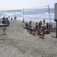
Renowned as a city that never sleeps, Tel Aviv is a popular tourist attraction largely due to it's beaches. Considered to be some of the best beaches in the world, they play a major role in the city’s tourism industry and economy.

http://www.ricdigitalcommons.com/temp/0841.jpg
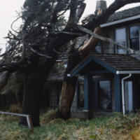
Stormy conditions and harsh winds in the coastal town of Canon Beach have sculpted the tree’s around the houses. This photograph shows the peculiar growth of the trees around a house. (date of photograph has been approximated)

http://www.ricdigitalcommons.com/temp/0840.jpg
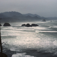
Originally named Ecola for the river that empties, the name of this small Oregon town was changed to Canon Beach in 1922. As of the 2000 census there we 1,588 people living in Canon Beach. It is tourist attraction and popular weekend getaway for…

http://www.ricdigitalcommons.com/temp/0839.jpg
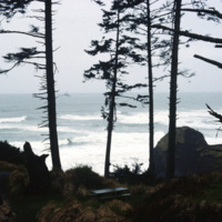
Originally named Ecola for the river that empties, the name of this small Oregon town was changed to Canon Beach in 1922. As of the 2000 census there we 1,588 people living in Canon Beach. It is tourist attraction and popular weekend getaway for…

http://www.ricdigitalcommons.com/temp/0837.jpg
This aerial photograph looks north across Miami. Miami is one of the largest cities in the United States. Running across the photograph is Interstate 95. At frame left just north of the highway is the William's Island Country Club. Also seen is…

http://www.ricdigitalcommons.com/temp/0828.jpg
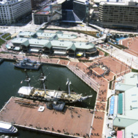
Baltimore’s Inner Harbor photographed in the 1980s. This aerial view shows the Light St. and Pratt St. Pavilions as well as the USS Constellation. The pavilions, developed by James W. Rouse, were part of Baltimore’s revitalization project which…

http://www.ricdigitalcommons.com/temp/0826.jpg
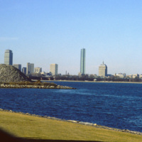
Located on Columbia Point, this is the view of Boston from the John F. Kennedy Presidential Library. Before being redeveloped the site had been a garbage dump. In this view of the Boston skyline are notable skyscrapers (left to right) The Prudential…
Output Formats

atom, dcmes-xml, json, omeka-xml, rss2