Browse Items (54 total)

  • Tags: transportation

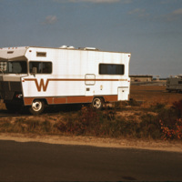
4931.jpg
A Winnebago RV camping in Cape Cod, Massachusetts. A transportable residence, different from Smolski's usual documentation of permanent and non-moveable urban homes.

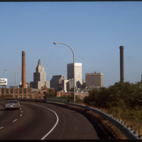
5144.jpg
The Providence skyline, including the iconic Industrial Trust Building, pictured from Interstate 95.

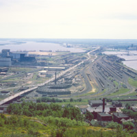
http://www.ricdigitalcommons.com/temp/1276.jpg
Rail yard at Rices Point, on the shore of Lake Superior. The yard was owned by Northwestern Pacific Railroad (NP) at the time of this photograph (1964). The Blatnik Bridge, an automobile bridge, was completed in 1961 and carried auto traffic between…

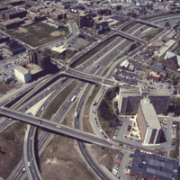
http://www.ricdigitalcommons.com/temp/5163.jpg
This aerial shows the way in which I-95 bisects the Financial District of downtown from Federal Hill and the West Side of Providence. Overpasses from top to bottom include Broadway, Washington Street, Westminster Sreet, Broad Street, and Pine Street…

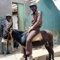
http://www.ricdigitalcommons.com/Baxter_temp/CV-89-079.jpg
Two unidentified men, one seen in a previous image at the same location (see "Man on Donkey, Smoking, CV-89-078) pose for a photograph in what is believed to be the fishing village Calheta.

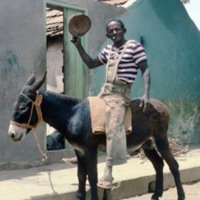
http://www.ricdigitalcommons.com/Baxter_temp/CV-89-078.jpg
An unidentified man removes his hat for a photograph. He is posed in the same location as David Baxter (see: David Baxter, CV-89-077) and is perhaps the photographer who took that photo. It is also possible he was Baxter's guide during his visit to…

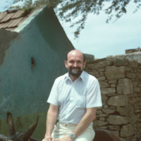
http://www.ricdigitalcommons.com/Baxter_temp/CV-89-077.jpg
A photo of David Baxter on a donkey used for transportation. This photo is believed to be taken in Calheta, a small village just 3 km north of Vila do Maio.

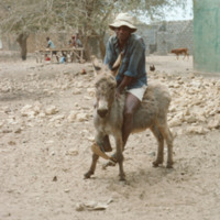
http://www.ricdigitalcommons.com/Baxter_temp/CV-89-075.jpg
A man rides a donkey in the coastal village of Calheta, a small fishing village about a mile north of Vila do Maio, the main settlement on the island.

http://www.ricdigitalcommons.com/Baxter_temp/CV-89-062.jpg
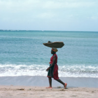
An unidentified woman transports goods by balancing them on her head. She is on a shore near Calheta, a small village on Maio.

http://www.ricdigitalcommons.com/Baxter_temp/CV-89-056.jpg
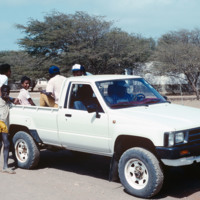
Villagers in a pickup truck. The exact location of this photograph is unknown but is believed to be taken in the village Calheta.

http://www.ricdigitalcommons.com/Baxter_temp/CV-89-035.jpg
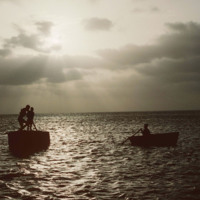
Boaters off shore from Maio are silhouetted against a sunset by Vila do Maio.

http://www.ricdigitalcommons.com/Baxter_temp/CV-89-017.jpg
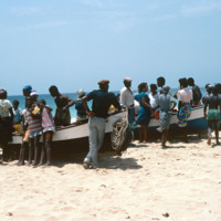
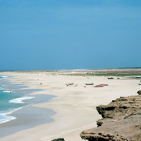
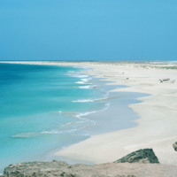
On a beach near Vila do Maio residents from the village crowd around some beached fishing vessels. Maio is a quiet island, sometimes called the "forgotten island," it is rarely visited by tourists and is relatively quiet and flat.

http://www.ricdigitalcommons.com/Baxter_temp/CV-89-016.jpg
Small fishing vessels are beached nearby Vila do Maio.

http://www.ricdigitalcommons.com/Baxter_temp/CV-89-015.jpg
Small fishing vessels are beached nearby Vila do Maio.

http://www.ricdigitalcommons.com/Baxter_temp/CV-89-009.jpg
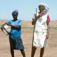
Two unidentified women pose for a photograph outside of Vila do Maio, the main settlement on the island of the same name. The appear to be traveling the same road that appears in the slides titled, "Dirt Road at Vila do Maio."

http://www.ricdigitalcommons.com/Baxter_temp/CV-88-037.jpg
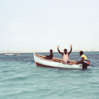
Three men in a small vessel pose for a photograph as they approach the Ilha de Sal Rei, a small islet off the coast of Boa Vista.
http://www.ricdigitalcommons.com/Baxter_temp/CV-81-355.jpg
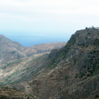
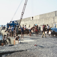
A dirt road winds up the steep mountainous terrain of Brava to a small, unidentified, village.

http://www.ricdigitalcommons.com/Baxter_temp/CV-81-354.jpg
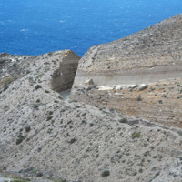
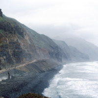
A coastal road cut into the mountainous terrain of Brava.

http://www.ricdigitalcommons.com/Baxter_temp/CV-81-351.jpg
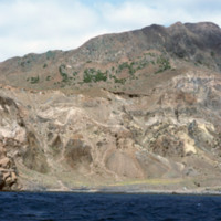
Brava's dramatic coastline photographed during a journey by small boat from Faj

http://www.ricdigitalcommons.com/Baxter_temp/CV-81-350.jpg
Brava's dramatic coastline photographed during a journey by small boat from Faj

http://www.ricdigitalcommons.com/Baxter_temp/CV-81-349.jpg
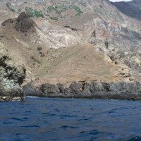
Brava's dramatic coastline photographed during a journey by small boat from Faj

http://www.ricdigitalcommons.com/Baxter_temp/CV-81-348.jpg
Brava's dramatic coastline photographed during a journey by small boat from Faj

http://www.ricdigitalcommons.com/Baxter_temp/CV-81-347.jpg
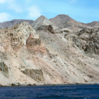
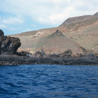
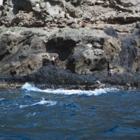
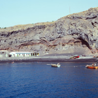
Brava's varied, but always rocky, coastline photographed during a journey by small boat from Faj

http://www.ricdigitalcommons.com/Baxter_temp/CV-81-346.jpg
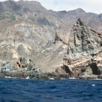
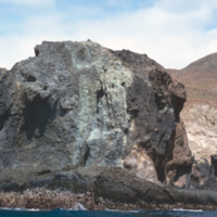
The rocky and steep coastline of Brava photographed during a journey by small boat from Faj

http://www.ricdigitalcommons.com/Baxter_temp/CV-81-345.jpg
A man, perhaps a fisherman, on the rocky and step coast of Brava. Photographed during a journey by small boat from Faj

http://www.ricdigitalcommons.com/Baxter_temp/CV-81-335.jpg
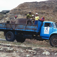
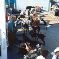
The aluguer that provides service between Nova Sintra and Fajã d'Água. Trucks are used to transport people, goods and livestock between towns.

http://www.ricdigitalcommons.com/Baxter_temp/CV-81-333.jpg
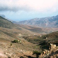
Brava landscape taken in the mist of the elevated tableland that makes up most of the island. This photograph was taken during an overland journey by truck from Nova Sintra to Fajã d'Água.

http://www.ricdigitalcommons.com/Baxter_temp/CV-81-332.jpg
The tableland of Brava is photographed during a journey between Nova Sintra and Fajã d'Água. The high elevation of the islands interior is evidenced by the clouds.

http://www.ricdigitalcommons.com/Baxter_temp/CV-81-331.jpg
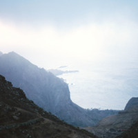
A misty view of the Brava coastline taken from an aluguer during an overland journey from Nova Sintra to Fajã d'Água.

http://www.ricdigitalcommons.com/Baxter_temp/CV-81-328.jpg
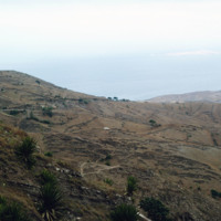
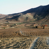
Photo of the dry, central tableland taken during an overland journey from Nova Sintra to Fajã d'Água.

http://www.ricdigitalcommons.com/Baxter_temp/CV-81-326.jpg
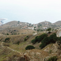
Taken from an aluguer en route to Fajã d'Água, this elevated view of Nova Sintra shows the coastline and some of the volcanic crater that Furna is nestled within. Most of Brava's coastline is made of steep cliff's that rise to a dry tableland, as…

http://www.ricdigitalcommons.com/Baxter_temp/CV-81-284.jpg
Cargo is transported to shore at Porto de Vale de Cavaleiros. This port serves the island of Fogo and is located about four kilometers north of São Felipe.

http://www.ricdigitalcommons.com/Baxter_temp/CV-81-282.jpg
Cargo is loaded at Porto de Vale de Cavaleiros, a port about four kilometers north of São Felipe that serves Fogo.

http://www.ricdigitalcommons.com/Baxter_temp/CV-81-281.jpg
Porto de Vale de Cavaleiros, just north of São Felipe. A crane is used to life cargo from smaller wooden boats to bring to a larger ship docked a couple hundred feet off shore.

http://www.ricdigitalcommons.com/Baxter_temp/CV-81-279.jpg
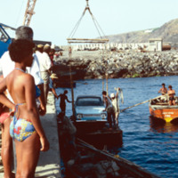
Cargo, in this photograph a car, is loaded via crane at Porto de Vale de Cavaleiros. Cargo is moved from a larger ship, not in this photograph, to smaller vessels that transport cargo between the ship and the dock.

http://www.ricdigitalcommons.com/Baxter_temp/CV-81-264.jpg
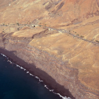
An aerial view of São Felipe shows beautiful stone bridges that cross steep valleys on this coastal road.

http://www.ricdigitalcommons.com/Baxter_temp/CV-81-203.jpg
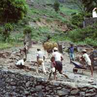
A group of workers repair a cobblestone road in Ribeira Brava, the main city on São Nicolau. The cit is known for cobblestone roads and beautiful, colorful architecture. Until the closing of a local seminary school in the early 20th century, Ribeira…

http://www.ricdigitalcommons.com/Baxter_temp/CV-81-186.jpg
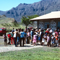
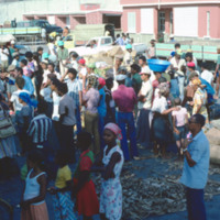
A crowd gathered at the building of the airport in Ribiera Brava. The building looks relatively new and has a corrugated tin roof. The mountains are visible in the background.

http://www.ricdigitalcommons.com/Baxter_temp/CV-81-108.jpg
This coastal road, on the northern coast of Santo Antão, connects the towns of Ribeira Grande and Paúl. The road is gravel and dirt, and is, as one can see in this photograph, largely used for foot traffic. The road, for much of it's lebth, is…

http://www.ricdigitalcommons.com/Baxter_temp/CV-81-083.jpg
Cargo aboard the ferry "Porto Novo" is offloaded at Porto Novo on São Antão. The ferry connects São Vicente and Santo Antão with daily service for cargo and passengers.

http://www.ricdigitalcommons.com/Baxter_temp/CV-81-082.jpg
The ferry "Porto Novo" docks and unloads in Porto Novo after carrying passengers and cargo from São Vicente.

http://www.ricdigitalcommons.com/Baxter_temp/CV-81-081.jpg
The ferry "Porto Novo" docks and unloads in Porto Novo after carrying passengers and cargo from São Vicente.

http://www.ricdigitalcommons.com/Baxter_temp/CV-81-071.jpg
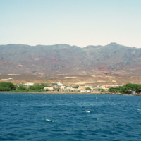
Porto Novo photographed from the ferry of the same name.

http://www.ricdigitalcommons.com/Baxter_temp/CV-81-069.jpg
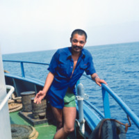
An unidentified man onboard the ferry "Proto Novo" is photographed en route to Santo Antão.

http://www.ricdigitalcommons.com/Baxter_temp/CV-81-068.jpg
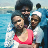
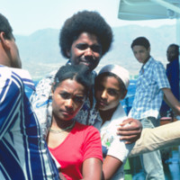
Unidentified passengers pose for a photo onboard "Porto Novo," a ferry that ran daily service between São Vicente and Santo Antão. The ship has since been retired.

http://www.ricdigitalcommons.com/Baxter_temp/CV-81-067.jpg
Unidentified passengers pose for a photo onboard "Porto Novo," a ferry that ran daily service between São Vicente and Santo Antão. The ship has since been retired.

http://www.ricdigitalcommons.com/Baxter_temp/CV-81-064.jpg
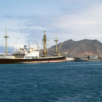
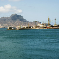
Ships at Porto Grande in Mindelo are photographed from "Porto Novo," a ferry that ran daily service between São Vicente and Santo Antão until it was retired.

http://www.ricdigitalcommons.com/Baxter_temp/CV-81-063.jpg
Mindelo, and specifically Porto Grande, seen from the ferry "Porto Novo" en route to Santo Antão. For many years "Porto Novo" provided daily service between the islands São Vicente and Santo Antão, but the vessel has since been retired. Ferry service…
http://www.ricdigitalcommons.com/Baxter_temp/CV-81-062.jpg
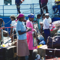
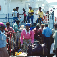
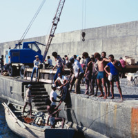
Passengers board "Porto Novo" in Mindelo for ferry service to São Antão. For years the "Porto Novo" was the lifeline between the two islands, providing daily service, but the ship has since been retired.

http://www.ricdigitalcommons.com/Baxter_temp/CV-81-061.jpg
Passengers board "Porto Novo" in Mindelo for ferry service to São Antão. For years the "Porto Novo" was the lifeline between the two islands, providing daily service, but the ship has since been retired.
Output Formats

atom, dcmes-xml, json, omeka-xml, rss2