Browse Items (24 total)

  • Tags: volcanic rock

http://www.ricdigitalcommons.com/Baxter_temp/CV-81-351.jpg
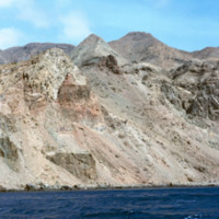
Brava's dramatic coastline photographed during a journey by small boat from Faj

http://www.ricdigitalcommons.com/Baxter_temp/CV-81-350.jpg
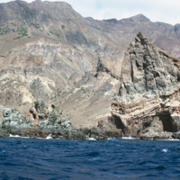
Brava's dramatic coastline photographed during a journey by small boat from Faj

http://www.ricdigitalcommons.com/Baxter_temp/CV-81-349.jpg
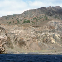
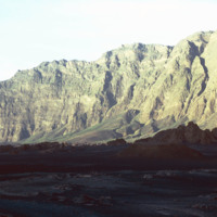
Brava's dramatic coastline photographed during a journey by small boat from Faj

http://www.ricdigitalcommons.com/Baxter_temp/CV-81-348.jpg
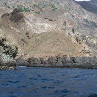
Brava's dramatic coastline photographed during a journey by small boat from Faj

http://www.ricdigitalcommons.com/Baxter_temp/CV-81-306.jpg
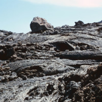
Volcanic rock from recent (as of 1981) lava flows at Pico do Fogo. Since then, this volcano has erupted once in 1995.

http://www.ricdigitalcommons.com/Baxter_temp/CV-81-305.jpg
David Baxter's guide to Pico do Fogo, a volcano on Fogo that is mostly dormant but has erupted as recently as 1995.

http://www.ricdigitalcommons.com/Baxter_temp/CV-81-304.jpg
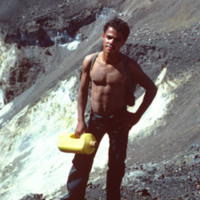
David Baxter photographed inside Pico do Fogo, a volcano on the island of Fogo.

http://www.ricdigitalcommons.com/Baxter_temp/CV-81-303.jpg
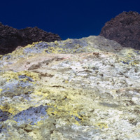
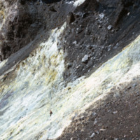
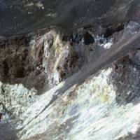
Detail of colorful rocks formed by eruption at Pico do Fogo, a dormant volcano on Fogo that's last eruption was in 1995. This photograph was made in 1981.

http://www.ricdigitalcommons.com/Baxter_temp/CV-81-300.jpg
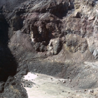
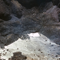
Photograph showing the inside of Pico do Fogo, at the time of this photograph, a dormant volcano. Since 1981 it has had one eruption, in 1995.

http://www.ricdigitalcommons.com/Baxter_temp/CV-81-299.jpg
Photograph showing the inside of Pico do Fogo, at the time of this photograph, a dormant volcano. Since 1981 it has had one eruption, in 1995.

http://www.ricdigitalcommons.com/Baxter_temp/CV-81-298.jpg
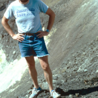
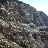
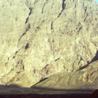
Photograph showing the inside of Pico do Fogo, at the time of this photograph, a dormant volcano. Since 1981 it has had one eruption, in 1995. There is a man in the photograph to give scale to the massive, rocky slope pictured.

http://www.ricdigitalcommons.com/Baxter_temp/CV-81-297.jpg
Photograph showing the inside of Pico do Fogo, at the time of this photograph, a dormant volcano. Since 1981 it has had one eruption, in 1995.

http://www.ricdigitalcommons.com/Baxter_temp/CV-81-296.jpg
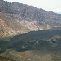
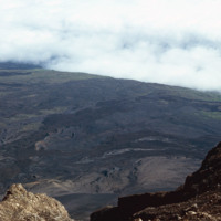
Landscape view of Pico do Fogo shows the craters and lava flow patterns, but also the steep slope of the original volcano.

http://www.ricdigitalcommons.com/Baxter_temp/CV-81-295.jpg
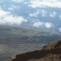
Looking down from Pico do Fogo to the island below, a city can be seen on the horizon [pehaps São Felipe?].

http://www.ricdigitalcommons.com/Baxter_temp/CV-81-294.jpg
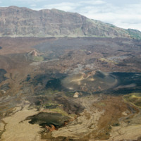
From the top of Pico do Fogo, this photograph shows the crater and lava formations around this active volcano. Pico do Fogo, at 2,829 metres is the highest point in the Cape Verde archipelago.

http://www.ricdigitalcommons.com/Baxter_temp/CV-81-292.jpg
From the slope of Pico do Fogo looking over a planes of volcanic rock intermingled with sparse vegetation that thrives on the mineral rich soil left behind by an eruption. The last eruption occurred in 1995, an event that completely destroyed the…

http://www.ricdigitalcommons.com/Baxter_temp/CV-81-291.jpg
The slope of Pico do Fogo seen from the shadowy crater below. The voclano is still active, last erupting in 1995, an event which destroyed the nearby village of Boca Fonte and created a new peak, known simply as the 1995 peak. The Pico, standing at…

http://www.ricdigitalcommons.com/Baxter_temp/CV-81-290.jpg
The steep slope of Pico do Fogo seen from the shadowy crater below. Pico do Fogo is an active volcano, it's last eruption was in 1995 which destroyed the village of Boca Fonte.

http://www.ricdigitalcommons.com/Baxter_temp/CV-81-287.jpg
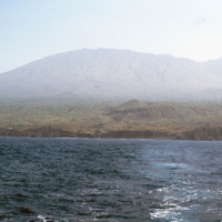
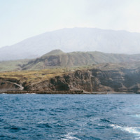
Pico do Fogo, the highest point in Cape Verde, and most of the island Fogo, photographed here from offshore.

http://www.ricdigitalcommons.com/Baxter_temp/CV-81-286.jpg
Porto de Vale de Cavaleiros photographed from offshore. On the horizon Pico do Fogo extends into the sky.

http://www.ricdigitalcommons.com/Baxter_temp/CV-81-121.jpg
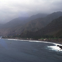
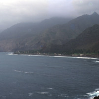
An alternate view of the village pictured in the previous slide. The mountains begin rising directly from the ocean and crest in foggy peaks. The mountains appear to have black soil because much of the land is made up of volcanic rock.

http://www.ricdigitalcommons.com/Baxter_temp/CV-81-120.jpg
A view of a bay and seaside settlements. The mountains begin rising directly from the ocean and crest in foggy peaks. The mountains appear to have black soil because much of the land is made up of volcanic rock.

http://www.ricdigitalcommons.com/Baxter_temp/CV-81-119.jpg
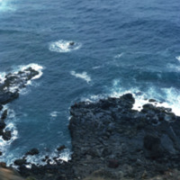
A rocky inlet pictured from above. It is taken at a distance from the road to Paùl and a lone fisherman is seen. It dramatizes the steep and dramatic drop just at the edge of the road. Volcanic rock juts out into the water from the coast.
Output Formats

atom, dcmes-xml, json, omeka-xml, rss2