Browse Items (40 total)

  • Tags: coastline

http://www.ricdigitalcommons.com/temp/1048.jpg
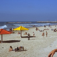
Along the west side of Tel Aviv rests a lengthy stretch of shoreline divided into several different beaches. These beaches include: Hof Hatzuk Beach, Sheraton Beach, The Separated Beach, Atzmout Beach, Hilton Beach, Gordon Beach, Frishman Beach, The…

http://www.ricdigitalcommons.com/Baxter_temp/CV-89-011.jpg
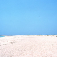
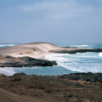
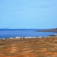
Looking away from Vila do Maio, this view shows the long flat shoreline from a beach near the islands primary settlement.

http://www.ricdigitalcommons.com/Baxter_temp/CV-89-002.jpg
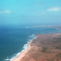
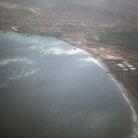
An aerial view of the western coast of Maio. This north facing view shows a beach leading away from Vila do Maio and Calheta on the horizon, center right in this photograph.

http://www.ricdigitalcommons.com/Baxter_temp/CV-89-001.jpg
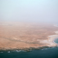
An east facing aerial view of Maio photographed from above Vila do Maio.

http://www.ricdigitalcommons.com/Baxter_temp/CV-88-005.jpg
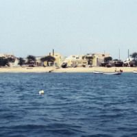
This photo was take off shore from Sal Rei, the principal city on Boavista. Homes can be seen lining the beach as well as beached vessels.

http://www.ricdigitalcommons.com/Baxter_temp/CV-88-004.jpg
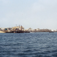
A seascape view of Sal Rei including a small dock that extends into the Atlantic Ocean. A team of dock workers can be seen unloading cargo from a small craft at the dock.

http://www.ricdigitalcommons.com/Baxter_temp/CV-88-002.jpg
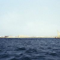
This photo was taken on the waters of the North Atlantic Ocean looking into the coastline of Sal Rei. A small sailboat with three passengers are seen to the right.

http://www.ricdigitalcommons.com/Baxter_temp/CV-85-073.jpg
This aerial was taken off of the coast of Mindelo on the Cape Verdean island of S

http://www.ricdigitalcommons.com/Baxter_temp/CV-85-036.jpg
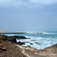
A rocky view of Praia de Cabral, a beach located about two miles from Sal Rei. In the distance people can be seen enjoying the white sands of this beach, which features a cove created by a natural rock wall.

http://www.ricdigitalcommons.com/Baxter_temp/CV-85-035.jpg
Boa Vista is a large, relatively flat island of dunes and oases. Its rocky and shallow coastline has been cruel to sailors and has caused many shipwrecks. This photograph of Praia de Crabral, a beach located about two miles from the town Sal Rei,…

http://www.ricdigitalcommons.com/Baxter_temp/CV-83-001.jpg
An aerial view of São Vicente.

http://www.ricdigitalcommons.com/Baxter_temp/CV-81-358.jpg
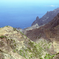
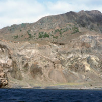
Some vegetation dots the side of this mountainous region of Brava. Most of Brava is a large tableland elevated from a steep coastline. There are also some peaks that jut out of the tableland, such as this photograph shows.

http://www.ricdigitalcommons.com/Baxter_temp/CV-81-351.jpg
Brava's dramatic coastline photographed during a journey by small boat from Faj

http://www.ricdigitalcommons.com/Baxter_temp/CV-81-350.jpg
Brava's dramatic coastline photographed during a journey by small boat from Faj

http://www.ricdigitalcommons.com/Baxter_temp/CV-81-349.jpg
Brava's dramatic coastline photographed during a journey by small boat from Faj

http://www.ricdigitalcommons.com/Baxter_temp/CV-81-348.jpg
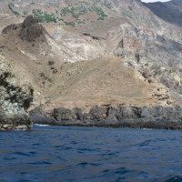
Brava's dramatic coastline photographed during a journey by small boat from Faj

http://www.ricdigitalcommons.com/Baxter_temp/CV-81-347.jpg
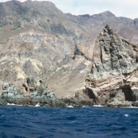
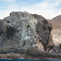
Brava's varied, but always rocky, coastline photographed during a journey by small boat from Faj

http://www.ricdigitalcommons.com/Baxter_temp/CV-81-346.jpg
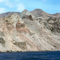
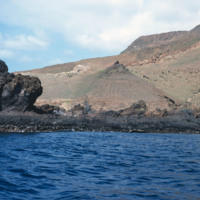
The rocky and steep coastline of Brava photographed during a journey by small boat from Faj

http://www.ricdigitalcommons.com/Baxter_temp/CV-81-345.jpg
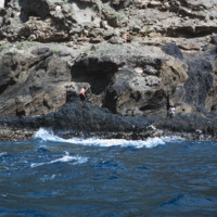
A man, perhaps a fisherman, on the rocky and step coast of Brava. Photographed during a journey by small boat from Faj

http://www.ricdigitalcommons.com/Baxter_temp/CV-81-337.jpg
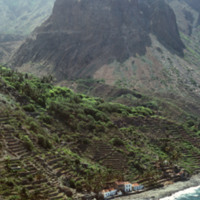
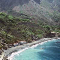
This aerial photograph of Fajã d'Água puts into perspective it's position at the foot of a steep mountain. Because of it's location it is sheltered from the northwest winds, making this little village very green and pleasant.

http://www.ricdigitalcommons.com/Baxter_temp/CV-81-336.jpg
An aerial view of Fajã d'Água, a small village at the foot of a mountain, and also one of the most beautiful bays in Cape Verde. This quiet village was once where whaling boats would anchor.

http://www.ricdigitalcommons.com/Baxter_temp/CV-81-334.jpg
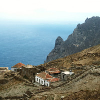
This photograph is taken near the end of a journey from Nova Sintra to Fajã d'Água via aluguer. On the horizon the Ilhéu da Areia can be seen disappearing into the haze. This photograph also gives you a good idea of how jagged and dramatic the…

http://www.ricdigitalcommons.com/Baxter_temp/CV-81-331.jpg
A misty view of the Brava coastline taken from an aluguer during an overland journey from Nova Sintra to Fajã d'Água.

http://www.ricdigitalcommons.com/Baxter_temp/CV-81-326.jpg
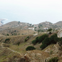
Taken from an aluguer en route to Fajã d'Água, this elevated view of Nova Sintra shows the coastline and some of the volcanic crater that Furna is nestled within. Most of Brava's coastline is made of steep cliff's that rise to a dry tableland, as…

http://www.ricdigitalcommons.com/Baxter_temp/CV-81-318.jpg
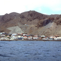
View of Furna from the harbor. This photograph was taken from a boat traveling from Fogo to Brava carrying passengers, goods and livestock.

http://www.ricdigitalcommons.com/Baxter_temp/CV-81-317.jpg
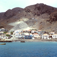
Furna, the main port on Brava, is photographed from an approaching boat carrying goods and passengers from Fogo.

http://www.ricdigitalcommons.com/Baxter_temp/CV-81-316.jpg
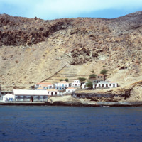
Photographed from a boat en route to Brava from Fogo is the port town of Furna. Furna lies in an extinct volcano crater, and is the main port for the island.

http://www.ricdigitalcommons.com/Baxter_temp/CV-81-315.jpg
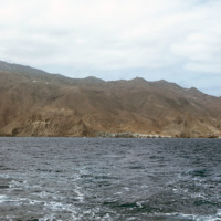
The coastline of Brava is photographed from a boat that has voyaged from Fogo. On the right of the frame you can see the port city of Furna.

http://www.ricdigitalcommons.com/Baxter_temp/CV-81-276.jpg
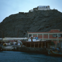
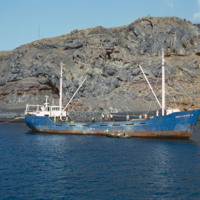
A commercial fishing vessel is photographed docked near São Felipe. It is believed to be docked at Porto de Vale de Cavaleiros.

http://www.ricdigitalcommons.com/Baxter_temp/CV-81-272.jpg
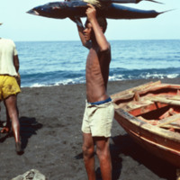
A young man on the shore of Fogo holds a fresh catch over his head. It appears that he has caught a tuna and a shark.

http://www.ricdigitalcommons.com/Baxter_temp/CV-81-271.jpg
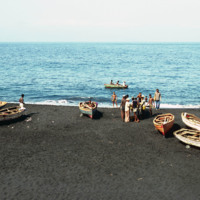
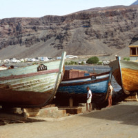
Fishermen and their vessels on the shore of a black sand beach near São Felipe. The beaches are short and quickly give way to ominous cliffs that begin the steep slope of Fogo, the volcano island.

http://www.ricdigitalcommons.com/Baxter_temp/CV-81-270.jpg
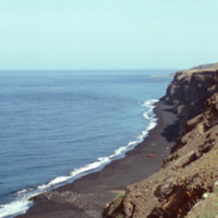
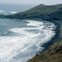
A long look across Fogo's ominous cliffs that hang over the islands black sand beaches. In the foreground some local fishing vessels have been dragged ashore, or perhaps are waiting to be launched (from the shadows in the picture this picture seems…

http://www.ricdigitalcommons.com/Baxter_temp/CV-81-232.jpg
Looking west over Tarrafal Bay on São Nicolau. Fishing vessels can be seen on the bay. Tarrafal is the seat of Tarrafal de São Nicolau Municipality and it's economy is largely based on local fishing industries.

http://www.ricdigitalcommons.com/Baxter_temp/CV-81-228.jpg
Pictured are two boys standing amidst three large fishing boats. This photo was taken on the waterfront of Tarrafal Bay. In the background the sprawl from the port-town, Tarrafal, can be seen doting the coast. Fishing industries are a large part of…
http://www.ricdigitalcommons.com/Baxter_temp/CV-81-225.jpg
Tarrafal is a city on the western coast of São Nicolau. This port town lies at the base of many barren, stony hills.

http://www.ricdigitalcommons.com/Baxter_temp/CV-81-224.jpg
A view of Tarrafal from the São Nicolau highlands. Tarrafal is a coastal town and São Nicolau's second major town after Ribeira Brava.

http://www.ricdigitalcommons.com/Baxter_temp/CV-81-223.jpg
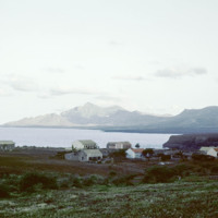
Looking north from Tarrafal, across the bay, with the mountainous northwestern corner of the island on the horizon. Tarrafal is the seat of Tarrafal de São Nicolau municipality and it's economy is largely based on local fishing industries.

http://www.ricdigitalcommons.com/Baxter_temp/CV-81-148.jpg
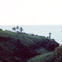
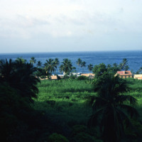
A cluster of houses set against the coast of Santo Antão. The rugged coastline of Paùl is quite striking with its mountains descending to the sea. Palm trees are also visible around the village.

http://www.ricdigitalcommons.com/Baxter_temp/CV-81-147.jpg
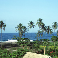
Tropical scene along the coastline in and around Paùl.

http://www.ricdigitalcommons.com/Baxter_temp/CV-81-109.jpg
Looking east on a coastal road that connects the small town of Paúl to Ribeira Grande. This area of the island is known for it's rough surf and high winds.
Output Formats

atom, dcmes-xml, json, omeka-xml, rss2