Browse Items (21 total)

  • Tags: agriculture

http://www.ricdigitalcommons.com/Baxter_temp/CV-88-116.jpg
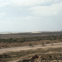
The landscape features a road in the foreground, what appears to be an agricultural planting in the middleground, and dunes in the background.

http://www.ricdigitalcommons.com/Baxter_temp/CV-83-032.jpg
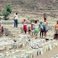
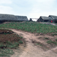
Inhabitants of Paul lay the framework for the agricultural system seen in the two previous slides. The main economy in this area is agriculture due to the fact that vegetation flourishes even in seasons of drought.

http://www.ricdigitalcommons.com/Baxter_temp/CV-83-031.jpg
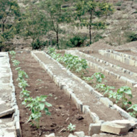
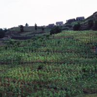
Pictured are planted rows of crops on the municipality of Paul. The area is known for its nutrient rich land that gives rise to a diverse range of crops, the most prominent being corn.

http://www.ricdigitalcommons.com/Baxter_temp/CV-83-030.jpg
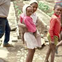
Children stand amidst rows of planted crops.

http://www.ricdigitalcommons.com/Baxter_temp/CV-81-223.jpg
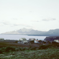
Looking north from Tarrafal, across the bay, with the mountainous northwestern corner of the island on the horizon. Tarrafal is the seat of Tarrafal de São Nicolau municipality and it's economy is largely based on local fishing industries.

http://www.ricdigitalcommons.com/Baxter_temp/CV-81-222.jpg
A village near Ribeira Brava in the São Nicolau highlands. Ribeira Brava is located in the hinterland of São Nicolau which is a very fertile region for the Cape Verdean islands, which are largely composed of volcanic rock. This photograph shows the…

http://www.ricdigitalcommons.com/Baxter_temp/CV-81-212.jpg
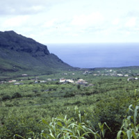
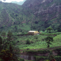
The highlands of São Nicolau, home to Ribeira Brava, are among the most beautiful and agriculturally friendly of the Cape Verdean islands. Here, some scattered dwellings near Ribeira Brava and Panja.

http://www.ricdigitalcommons.com/Baxter_temp/CV-81-211.jpg
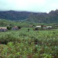
A wide landscape view of Ribeira Brava in the hinterland of São Nicolaiu. This are of São Nicolau is particularly fertile, especially for an island in an archipelago made of volcanic rock. Scattered throughout the green valley is the town of Ribeira…

http://www.ricdigitalcommons.com/Baxter_temp/CV-81-139.jpg
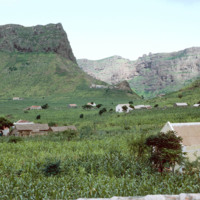
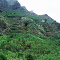
A shot of a cliff side plantation in Ribeira de Paùl. This shows the severity of the shear cliff faces on this island, the various houses on the land and the terraced farming that is commonplace in this area.

http://www.ricdigitalcommons.com/Baxter_temp/CV-81-137.jpg
A picture from along the Ribiera do Paùl portraying a house and a terraced agricultural landscape set against a mountainous backdrop. The land is the most fertile in Cape Verde. It is likely a sugarcane farm. Volcanic dust is extracted from this…

http://www.ricdigitalcommons.com/Baxter_temp/CV-81-134.jpg
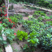
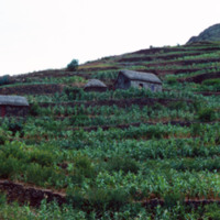
A terraced garden along the Ribiera do Paùl. The land is the most fertile in Cape Verde. Volcanic dust is extracted from this region for making cement bricks. It is often compared to the landscape of Hawaii.

http://www.ricdigitalcommons.com/Baxter_temp/CV-81-095.jpg
Journey to Ribeira Grande, one of the most spectacular road trips a visitor to Cape Verde can experience. This agricultural island also farms yams, cassava, bananas, mangoes, and grain. See also slide "Mountainside Farming, "CV-81-091.

http://www.ricdigitalcommons.com/Baxter_temp/CV-81-094.jpg
Journey to Ribeira Grande, one of the most spectacular road trips a visitor to Cape Verde can experience. Photographed on this journey, this mountain top farm and rural setting on Santa Antão is perhaps typical of the impoverished life style in…

http://www.ricdigitalcommons.com/Baxter_temp/CV-81-092.jpg
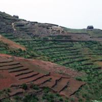
Example terraced farming in the fertile soil of Santo Antão northern region near Ribeira Grande. This farm appears to be producing sugar cane, which is used in the proves of making grogue, an alcoholic beverage native to Cape Verde.

http://www.ricdigitalcommons.com/Baxter_temp/CV-81-091.jpg
Another example of mountainside farming. The island is fertile and once produced maize and beans not only for their own use, but for export. Today, due to the 1940's famine and landowner's turning large parts of the land to sugar cane growth, the…

http://www.ricdigitalcommons.com/Baxter_temp/CV-81-090.jpg
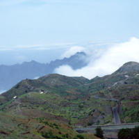
Journey to Ribeira Grande, one of the most spectacular road trips a visitor to Cape Verde can experience. In this image you can see how the mountains are stepped for farming. The island has two main peaks reaching 6,493 feet and 5,197 feet.

http://www.ricdigitalcommons.com/Baxter_temp/CV-80-211.jpg
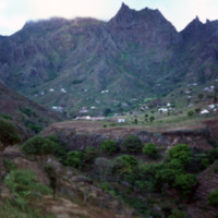
This landscape photograph shows the farm houses and small villages that dot São Nicolau's hinterland, a fertile interior valley that is the most agriculturally productive of the Cape Verde archipelago.

http://www.ricdigitalcommons.com/Baxter_temp/CV-80-210.jpg
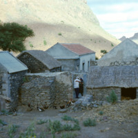
A man and woman embrace in the gateway to this farm in São Nicolau's hinterland. This man may be Bill Andrade, a New Bedford resident who reoccurs in many of David Baxter's photographs, always with his "capacete," or large, helmet like hat.

http://www.ricdigitalcommons.com/Baxter_temp/CV-80-206.jpg
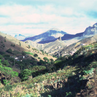
A picturesque view of the high valley area of São Nicolau.

http://www.ricdigitalcommons.com/Baxter_temp/CV-80-205.jpg
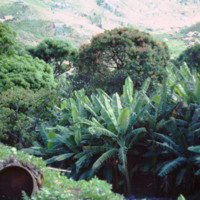
This photograph shows the fertile hinterland of São Nicolau, which is home to many farms and has been able to produce more agriculturally than any of the surrounding islands. In the foreground an empty basket, used to transport goods, generally by…

http://www.ricdigitalcommons.com/Baxter_temp/CV-80-202.jpg
São Nicolau's fertile hinterland allows it to produce more than the neighboring islands agriculturally.
Output Formats

atom, dcmes-xml, json, omeka-xml, rss2