Browse Items (75 total)

  • Tags: harbor

http://www.ricdigitalcommons.com/temp/1277.jpg
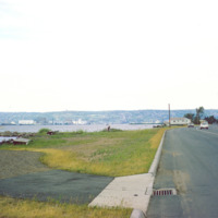
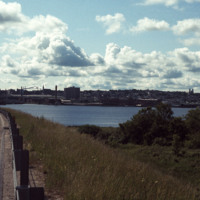
Duluth is a port city that is a hub for various regional commodities, including ore and agricultural products. This photograph shows a road on the shore of Lake Superior and looks toward Duluth.

http://www.ricdigitalcommons.com/temp/1282.jpg
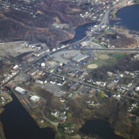
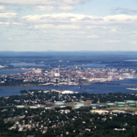
Apponaug is the center, or downtown, of Warwick, the second largest city in Rhode Island. Centered in this photograph is the City Hall, completed as the town hall in 1894, the city spent $75,000 to complete what is one of the most significant 19th…

http://www.ricdigitalcommons.com/temp/1239.jpg
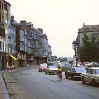
The row houses on the harbor of Honfluer are known for being picturesque and has attracted many artist who have painted this scene, photographed here in 1979. The city today is home to many historic buildings and picturesque views.

http://www.ricdigitalcommons.com/temp/1177.jpg
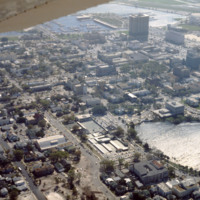
This is an aerial view of downtown Saint Petersburg, Florida in 1978. Mirror Lake can be seen in the photo as well as the harbor off in the distance, which houses the St. Petersburg Municipal Marina. Located right in front of the marina are the…

http://www.ricdigitalcommons.com/temp/0828.jpg
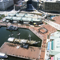
Baltimore’s Inner Harbor photographed in the 1980s. This aerial view shows the Light St. and Pratt St. Pavilions as well as the USS Constellation. The pavilions, developed by James W. Rouse, were part of Baltimore’s revitalization project which…

http://www.ricdigitalcommons.com/temp/0812.jpg
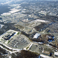
This photograph shows industrial and commercial developments in East Providence along state highway 114. Just barely visible on the horizon is Narragansett bay. The containers on the bay have since been torn down and the area has largely returned…

http://www.ricdigitalcommons.com/temp/0771.jpg
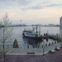
The New Spirit was a cruise boat that toured the Elizabeth River, a branch of the Hampton Roads waterways. It, along with Waterside, was part of the downtown revitalization movement. The New Spirit, pictured here, was launched in 1983 after the…

http://www.ricdigitalcommons.com/temp/0770.jpg
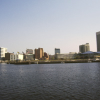
This photograph shows Downtown Norfolk from Hampton Roads. At the right is the Waterside Festival Marketplace developed by James Rouse. The marketplace was a key component in Norfolk’s revitalization process in the decades following the Second World…

http://www.ricdigitalcommons.com/temp/0752.jpg
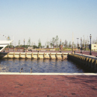
The Elizabeth River Ferry runs three paddle-wheel ferryboats that connect Portsmouth and Norfolk. The ferry system is operated as part of Hampton Roads Transit as of 1999. The photo is taken from The Waterside in Norfolk. On the horizon is Harbor…

http://www.ricdigitalcommons.com/temp/0731.jpg
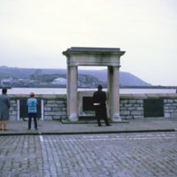
The Mayflower Steps are a monument built in the twentieth century to commemorate the location from which the Pilgrims are believed to have departed England for North America. Though the passengers had no link with Plymouth, they were forced to seek…

http://www.ricdigitalcommons.com/temp/0705.jpg
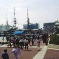
The USS Constellation in Baltimore’s Inner Harbor. It is the last surviving Civil War era warship, and the last sail-only warship designed by the Navy. The Inner Harbor is a tourist friendly, center of culture in Baltimore. It has been revived since…

http://www.ricdigitalcommons.com/temp/0568.jpg
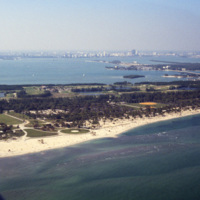
This west facing aerial photograph shows Key Biscayne and, on the horizon, Downtown Miami. Seen here on Key Biscayne is Crandon Park and Crandon Park Golf Course. Crandon Beach was formally a zoo, but is now a park where creatures like turtles,…

http://www.ricdigitalcommons.com/temp/0554.jpg
This aerial photograph shows a South Beach that is virtually unrecognizable. Much of the area since this 1978 photograph has been redeveloped with high rise resorts.

http://www.ricdigitalcommons.com/temp/0551.jpg
The Miami skyline as seen from Key Biscayne in 1978. At the right are some of Miami’s most famous skyscrappers, including th SunTrust International Center, completed in 1973, and One Biscayne Tower, a symbol of the city, completed in 1972. At the…

http://www.ricdigitalcommons.com/temp/0545.jpg
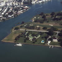
An aerial view of Indian Creek shows private residences around Indian Creek Golf Course. According to satellite photographs none of these structures are still standing, the large house with the green roof seems to have been split into three smaller…

http://www.ricdigitalcommons.com/temp/0541.jpg
Looking north across Miami Beach’s Oceanfront show’s the hotels lined up on Collins Ave., the Bal Harbor Islands and Indian Creek, and finally North Miami on the horizon.

http://www.ricdigitalcommons.com/temp/0537.jpg
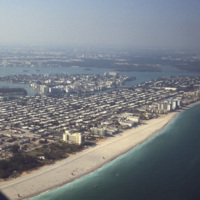
Looking south, this aerial photograph show’s Miami Beach’s Oceanfront in the late 1970’s. Clearly visible is the string of hotels in the style now known as Miami Modernist Architecture (MiMo) along Collins Ave. In the late 2000’s preservationists…

http://www.ricdigitalcommons.com/temp/0535.jpg
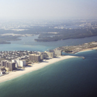
This southeast facing photograph looks across Bal Harbor toward Miami Beach’s Oceanfront. Visible at the bottom of the frame is construction of Florida International University’s Biscayne Bay Campus.

http://www.ricdigitalcommons.com/temp/0534.jpg
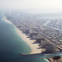
This aerial view shows Bal Harbor, Bal Harbor beach, and Biscayne Bay. At frame left, just above the small island, is where Florida International University’s Biscayne Bay Campus would be located. In this image some of the early construction for the…

http://www.ricdigitalcommons.com/temp/0529.jpg
The National Aquarium in Baltimore photographed in 1985 shows it in it’s original form under the direction of Peter Chermayeff of the Cambridge Seven. Additions to the aquarium were made in 1990 and 2004. The National Aquarium is in Baltimore’s Inner…

http://www.ricdigitalcommons.com/temp/0528.jpg
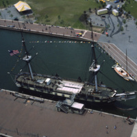
An aerial photograph of the USS Constellation shows it in it’s deteriorating condition prior to it’s 1990’s restoration. The 19th century fighting ship was used in military service through World War II before ending up in Baltimore as a relic.

http://www.ricdigitalcommons.com/temp/0526.jpg
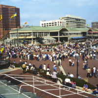
The Inner Harbor Plaza is a tourist friendly area in downtown Baltimore that has been described as a model for post-industrial waterfront redevelopment. This 1985 photograph gives an impression of the amount of draw the museums, shopping and…
http://www.ricdigitalcommons.com/temp/0522.jpg
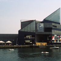
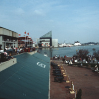
The National Aquarium in Baltimore, Maryland. Photographed from a restaurant across the Inner Harbor, this 1985 view of the National Aquarium is before the historic ships, including the USS Torsk were moored as permanent installations. The building…

http://www.ricdigitalcommons.com/temp/0519.jpg
The Maryland Science Center (MSC) was built in the Inner Harbor in 1976, but grew from the Maryland Academy of Sciences formed in 1797. When the MSC opened in June 1976 it had both interactive exhibits and a state of the art planetarium. Since then…

http://www.ricdigitalcommons.com/temp/0405.jpg
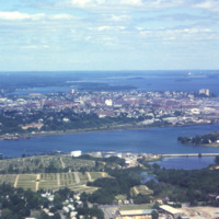
Portland, Maine is located in the south coast region of the state. Portland is home to almost one quarter of Maine’s residents, and is known as the “metropolitan hub” of this region.

http://www.ricdigitalcommons.com/temp/0441.jpg
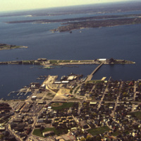
An aerial view of Newport Harbor and waterfront in Newport, Rhode Island. Long Wharf, to the right, and Goat Island, the slender island just offshore, are located on the western side of island. The shipping industry has a long history in Newport,…
http://www.ricdigitalcommons.com/temp/0433.jpg
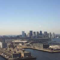
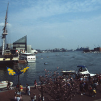
  Boston’s downtown skyline and harbor are picture here in 1979. Boston harbor has been a hub for the shipping industry for centuries, beginning in the late 1600s with the boom of ship building in the colonies. 

http://www.ricdigitalcommons.com/temp/0404.jpg
  Portland, Maine is located in the south coast region of the state. Portland is home to almost one quarter of Maine’s residents, and is known as the “metropolitan hub” of this region. 

http://www.ricdigitalcommons.com/temp/5573.jpg
  The dock in the Old Harbor District of Block Island is the arrival port for the ferries that carry visitors and supplies to the Island, which is located just twelve miles off the southern coast of Rhode Island. Block Island saw a surge in…

http://www.ricdigitalcommons.com/temp/5497.jpg
  The Baltimore Aquarium, located in the Inner Harbor district of Baltimore, was designed by Massachusetts based firm Peter Chermayeff LLC. The design earned the team an award from Progressive Architecture in 1979. It was conceived and designed in…

http://www.ricdigitalcommons.com/temp/5562.jpg
  Looking across the ferry landing on Block Island.  On the horizon is the National Hotel (1903) and to the right of the is oldest surviving hotel, the Surf (1873, 1888). This group of buildings conveys the sense of a nineteenth-century seaside…

http://www.ricdigitalcommons.com/temp/5462.jpg
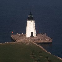
  The Newport Harbor Lighthouse may not be the best-known light in Newport Harbor, but its place in history is unchallenged as the first beacon to guide mariners into the bustling Newport of the early 1800s. The lighthouse stands on Goat Island, so…

http://www.ricdigitalcommons.com/temp/5262.jpg
  View of Bragga Bridge and Fall River over Mt. Hope Bay. The bridge eased traffic complications between Cape Cod and Providence for only a short time. The commute from Fall River to Providence is still time consuming in rush hour traffic. The bridge…

http://www.ricdigitalcommons.com/Baxter_temp/CV-88-008.jpg
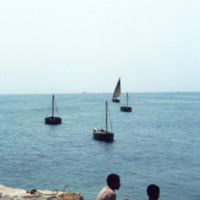
A view from the Port of Sal Rei. In the foreground two boys look out onto the Atlantic Ocean which is dotted with small fishing vessels. On the horizon a larger commercial ship can be seen.

http://www.ricdigitalcommons.com/Baxter_temp/CV-83-018.jpg
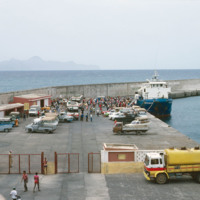
A photograph of "Cais Grande" (Main Dock) at Porto Grande. Porto Grande is the main port for imports and exports in Cape Verde.

http://www.ricdigitalcommons.com/Baxter_temp/CV-83-012.jpg
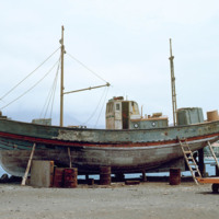
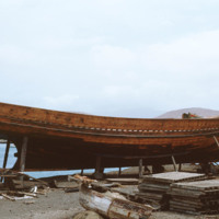
Maintenance of wooden fishing boat in dry dock at Porto Grande.

http://www.ricdigitalcommons.com/Baxter_temp/CV-83-011.jpg
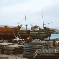
Fishing boat maintenance at Porto Grande. Wooden fishing boats are brought into dry dock for repair and maintenance.

http://www.ricdigitalcommons.com/Baxter_temp/CV-83-010.jpg
Boats in dry dock at Porto Grande are maintained and repaired.

http://www.ricdigitalcommons.com/Baxter_temp/CV-83-005.jpg
This 1983 photograph shows Funding was provided in the late 1970s to modernize Porto Grande, the largest port in the country. Here expansion is under way. On the horizon, the uninhabited islet, Ílhéu dos Passaros, marks the border between Mindelo Bay…

http://www.ricdigitalcommons.com/Baxter_temp/CV-81-344.jpg
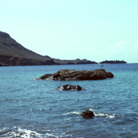
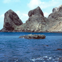
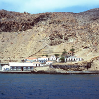
Some large rocks jut out of the harbor at Fajã d'Água. The step and mountainous coastline surround this small village protects it from northwestern winds, creating this calm, quiet harbor.

http://www.ricdigitalcommons.com/Baxter_temp/CV-81-343.jpg
The steep mountains that protect Fajã d'Água from the strong northwestern winds that sweep across Brava.

http://www.ricdigitalcommons.com/Baxter_temp/CV-81-342.jpg
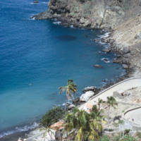
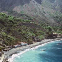
An elevated view of Fajã d'Água shows it's steep shoreline but also the clear, calm waters of it's harbor that made it an ideal place for whaling boats to dock early in the 20th century.

http://www.ricdigitalcommons.com/Baxter_temp/CV-81-341.jpg
The clear, placid waters of the harbor at Fajã d'Água are uncommon for Brava, an island that is swept by strong northwestern winds. However, this harbor and village are protected by steep mountains. It was once a place where whaling ships would dock.…

http://www.ricdigitalcommons.com/Baxter_temp/CV-81-339.jpg
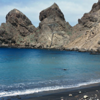
Fajã d'Água harbor was once a harbor for whaling boats but is now a quiet, placid waterfront protected from northwestern winds by step mountains.
http://www.ricdigitalcommons.com/Baxter_temp/CV-81-337.jpg
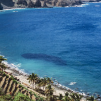
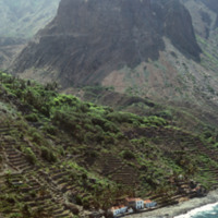
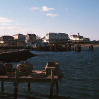
This aerial photograph of Fajã d'Água puts into perspective it's position at the foot of a steep mountain. Because of it's location it is sheltered from the northwest winds, making this little village very green and pleasant.
http://www.ricdigitalcommons.com/Baxter_temp/CV-81-336.jpg
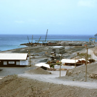
An aerial view of Fajã d'Água, a small village at the foot of a mountain, and also one of the most beautiful bays in Cape Verde. This quiet village was once where whaling boats would anchor.

http://www.ricdigitalcommons.com/Baxter_temp/CV-81-318.jpg
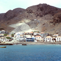
View of Furna from the harbor. This photograph was taken from a boat traveling from Fogo to Brava carrying passengers, goods and livestock.

http://www.ricdigitalcommons.com/Baxter_temp/CV-81-317.jpg
Furna, the main port on Brava, is photographed from an approaching boat carrying goods and passengers from Fogo.

http://www.ricdigitalcommons.com/Baxter_temp/CV-81-316.jpg
Photographed from a boat en route to Brava from Fogo is the port town of Furna. Furna lies in an extinct volcano crater, and is the main port for the island.

http://www.ricdigitalcommons.com/Baxter_temp/CV-81-277.jpg
Photograph taken from the sea protection wall at Porto de Vale de Cavaleiros on Fogo. The port, approximately 4 km north of São Felipe, is also a popular place for swimming because the harbor provides some protection from the sea.
Output Formats

atom, dcmes-xml, json, omeka-xml, rss2