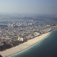
Browse Items (54 total)

  • Tags: Florida

http://www.ricdigitalcommons.com/temp/1191.jpg
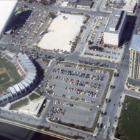
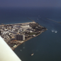
Below is a photo of the Progress Energy Park baseball stadium and the Bayfront Tower Condominium complex. The stadium was rebuilt in 1976, so at the time this photo was taken (March 1978), the reconstruction was only about two years old. The park…

http://www.ricdigitalcommons.com/temp/1185.jpg
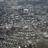
This is an aerial photograph of Saint Petersburg’s Meadowlawn Neighborhood. The land this neighborhood is built on was once a bog with woods and weeds as well as a place where cattle would come to graze from two local dairy farmers. Before it was…

http://www.ricdigitalcommons.com/temp/1183.jpg
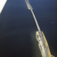
The Bob Graham Sunshine Skyway Bridge is 21,877 feet long (4.1 miles) and is considered part of I-275 and US 19. The bridge spans across Tamp Bay and connects St. Petersburg to Pinellas County in Manatee County Florida. Some parts of this bridge are…

http://www.ricdigitalcommons.com/temp/1178.jpg
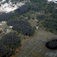
St. Petersburg and Pinellas County lies in what is called a “sinkhole alley.” The towns of Pasco, Hillsborough and Hernando, which leads the state in sinkhole claims, have all had issues concerning sinkholes developing on private property. Pictured…

http://www.ricdigitalcommons.com/temp/1177.jpg
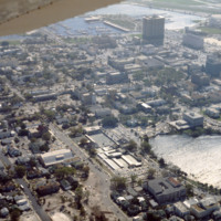
This is an aerial view of downtown Saint Petersburg, Florida in 1978. Mirror Lake can be seen in the photo as well as the harbor off in the distance, which houses the St. Petersburg Municipal Marina. Located right in front of the marina are the…

http://www.ricdigitalcommons.com/temp/1161.jpg
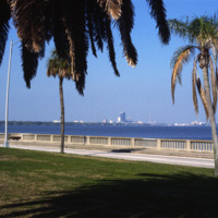
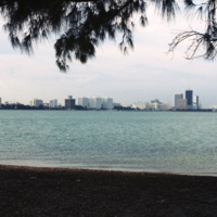
This picture shows the skyline of Tampa from St. Petersburg. The body of water separating the two cities is the Tampa Bay. The large dark colored building in the center of the photo is the Lykes Building, now called Park Tower. The two cities can be…

http://www.ricdigitalcommons.com/temp/1175.jpg
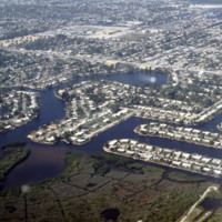
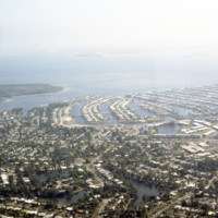
These housing developments, built on various water-ways through dredging & filling, can be found all over the coasts of St. Petersburg. Much of these neighborhoods were developed in the early 1950’s during a period of dredging and filling along…
http://www.ricdigitalcommons.com/temp/1171.jpg
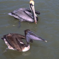
These housing developments, built on various water ways through a process of dredging & filling, can be found all over the coasts of St. Petersburg. Many of these neighborhoods were developed in the early 1950s along the Gulf Beaches and western…
http://www.ricdigitalcommons.com/temp/1159.jpg
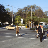
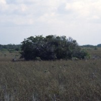
Pictured across the street on the corner of 1st and 4th Avenues (North) in St. Petersburg is the World War Heroes Memorial in Williams Park. Engrave with the word “loyalty” located at the top, this memorial was erected by the St. Petersburg chapter…

http://www.ricdigitalcommons.com/temp/1165.jpg
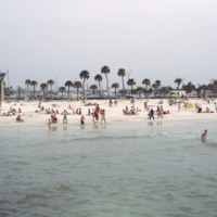
Clearwater Beach, a year-round vacation spot, spans 3 miles along the coast of Florida. With its clean white sand and various attractions, this beach, located just 20 miles from the Tampa International Airport, makes the perfect vacation spot for any…

http://www.ricdigitalcommons.com/temp/1163.jpg
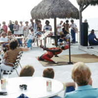
This picture was taken near the shores of Clearwater beach, located in Clearwater, Florida. People have gathered here to enjoy a vigorous limbo competition. The surrounding area here provides many sources of entertainment for its guests. The area is…

http://www.ricdigitalcommons.com/temp/1160.jpg
The downtown area of St. Petersburg is known as the Central Business District of the city. Some buildings of significance in this area include: the Bank of America Tower, the headquarters of the Tampa Bay Times newspaper, and the Mahaffey Theater…

http://www.ricdigitalcommons.com/temp/1158.jpg
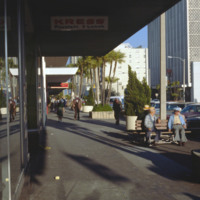
The first building seen here is the S. H. Kress & Co. building located in downtown St. Petersburg. This four-story building was built in 1927 as part of the S. H. Kress & Co. department store chain. The Kress company went out of business in…

http://www.ricdigitalcommons.com/temp/1157.jpg
Seen here is a densely packed neighborhood in St. Petersburg, Florida. The settlement of retired folks has been observed to be in abundance for this area. Along with many declines in housing during Workd War 1, the Great Depression, and World War 2,…

http://www.ricdigitalcommons.com/temp/1156.jpg
Here is another picture of downtown Ybor City on 7th Avenue. The first brick building on the left is Demmi’s Market, a small grocery store which is a favorite among locals for a slice of pizza in a lively atmosphere. The building behind Demmi’s…

http://www.ricdigitalcommons.com/temp/1155.jpg
Ybor City’s 7th Avenue spans 11 blocks between 26th Street and the Nick Nuccio Parkway. Having been settled by many cigar manufacturers, 7th Avenue was known as the heart of the cigar industry. At one point, there were over 230 factories established…

http://www.ricdigitalcommons.com/temp/1154.jpg
Known for its Latin flare, Tampa’s Ybor City is one of the highlights for tourists visiting the city. Located northeast of downtown, this historic city was founded by a large number of cigar manufacturers. With red brick buildings, iron balconies,…

http://www.ricdigitalcommons.com/temp/1153.jpg
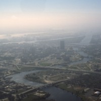
Pictured is an aerial view of the Hillsborough River in the city of Tampa, Florida. The river originates in The Green Swamp located in central Florida and flows downward for 59 miles until it empties into Tampa Bay. The middle river is the city of…

http://www.ricdigitalcommons.com/temp/1150.jpg
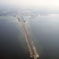
This is an aerial shot of the Howard Frankland Bridge connecting St. Petersburg to Tampa showing Causeway 275 on the Tampa side. The body of water it rests atop is the Old Tampa Bay. It was initially completed in the 1960s, and comprised of four…

http://www.ricdigitalcommons.com/temp/1149.jpg
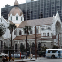
The Sacred Heart Catholic Church is one of the oldest churches in the city of Tampa, Florida. Originally deeded to be at Ashley Drive and Twiggs Street, the Sacred Heart Church was constructed in 1859 on North Florida Ave. With a growing parish, the…

http://www.ricdigitalcommons.com/temp/1144.jpg
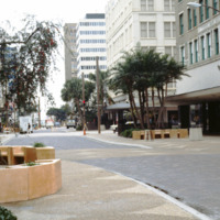
Pictured is a shopping district in downtown Tampa, Florida. To the far right of this picture is the Citizens Bank Building. Built in 1913 with a height of 145 feet tall, this building was considered the tallest building in Tampa until 1915 when the…

http://www.ricdigitalcommons.com/temp/1137.jpg
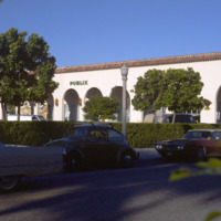
Publix Super Markets, Inc. is one of the leading privately owned grocery stores in the states of Florida, Georgia, South Carolina, Alabama, and Tennessee. The first store was opened in Winter Haven, FL in the 1930s by George Jenkins. Starting out…

http://www.ricdigitalcommons.com/temp/1135.jpg
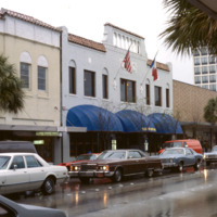
Worth Avenue is viewed as one of the most famous shopping districts in the state of Florida. The area first gained retail insight when The Everglades Club was built on this road in 1918. This club held weekly fashion shows showing the latest trends…

http://www.ricdigitalcommons.com/temp/1126.jpg
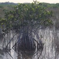
Pictured is a mangrove tree situated in the marsh of the Everglades. This tree is especially adapted to survive in this environment as they can survive in salt water and fresh water environments. There are three species of mangrove trees that can be…

http://www.ricdigitalcommons.com/temp/1125.jpg
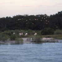
Captured in this picture is some of the Everglades’ wildlife amongst its dense marshes. A cluster of Roseate Spoonbill’s can be seen nesting in the tress of the background of this picture. This species of birds is native to the coastal areas of…

http://www.ricdigitalcommons.com/temp/1123.jpg
Pictured are two wading birds that are native to the Everglades. This is a very biologically diverse area, being home to many rare and endangered species of birds, plants, and animals. Some of these species include: the great blue heron, the Florida…

http://www.ricdigitalcommons.com/temp/1122.jpg
Southern and central regions of the Everglades is densely packed with sawgrash marsh. It is the largest sawgrass marsh in the world. This particular type of grass has sharp “teeth” covering the blade’s edge and has the capacity to grow to lengths of…

http://www.ricdigitalcommons.com/temp/1120.jpg
The Everglades National Park is a public park dedicated to the conservation and preservation of this natural habitat. The Everglades area once spanned 11,000 square miles, but the National Park only protects the southern fifth of the entire region.…

http://www.ricdigitalcommons.com/temp/0571.jpg
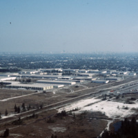
This industrial park in Miami is likely located on the western outskirts of town, where most of Miami’s warehouses and stone quarrying industries are located, extending into neighboring suburbs Doral and Hialeah.

http://www.ricdigitalcommons.com/temp/0570.jpg
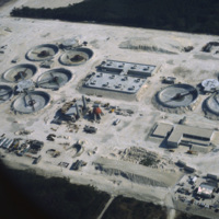
The South District Wastewater Treatment Plant is located just south of Miami. This aerial photograph was taken in 1978 shows the plant in its early stages of construction. Today, plans are underway to reclaim the water that comes out of the plant in…

http://www.ricdigitalcommons.com/temp/0567.jpg
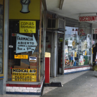
During the 1960s and 1970s large numbers of Cuban immigrants moved into Miami, many of whom settled in a neighborhood of Miami that came to be known as Little Havana. This photograph from Downtown Miami is Smolski’s illustration of the Cuban…

http://www.ricdigitalcommons.com/temp/0566.jpg
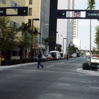
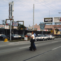
This street scene photograph was taken at the intersection of Miami Ave. and Flagler St. Smolski points out in his notes that he was interested here in the traffic light design, which is unique to the city, and are still in use today.

http://www.ricdigitalcommons.com/temp/0565.jpg
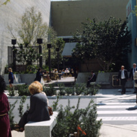
Chet Smolski photographed this as an example of a vest pocket park in Miami. Also known as mini parks, or parketts, these small urban parks are placed on vacant lots between buildings are accessible to the general public.

http://www.ricdigitalcommons.com/temp/0564.jpg
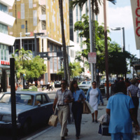
This photograph is taken at the intersection of Flagler St. and NE 1st Ave. Downtown Miami is both an urban residential neighborhood and the central business district. This specific neighborhood is known as the Jewelry District, so named for it’s…

http://www.ricdigitalcommons.com/temp/0563.jpg
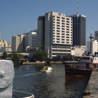
An image taken from the Miami River Walk looking northeat shows One Biscayne Tower as the tallest building in the city, which it was until 1984. It has since been eclipsed by modern building standards but remains a symbol of the city. The building…

http://www.ricdigitalcommons.com/temp/0562.jpg
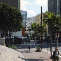
An east facing view down East Flagler St. in Downtown Miami. The street is named for nineteenth century railroad magnate Henry Flagler, and it runs west across town to the Florida Turnpike. This photograph show’s two buildings that have become…

http://www.ricdigitalcommons.com/temp/0561.jpg
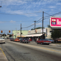
This photograph shows Cuban influence in Miami, specifically here on SW 8th St., part of Little Havana. The nickname comes from the large Cuban population concentrated in the area from the 1970s through the 1990s. The influx of Cubans in the area,…

http://www.ricdigitalcommons.com/temp/0560.jpg
This photograph shows Cuban influence in Miami, specifically here on SW 8th St., part of Little Havana. The nickname comes from the large Cuban population from the 1970s through the 1990s following an influx of Cuban refugee’s and the creation of a…

http://www.ricdigitalcommons.com/temp/0558.jpg
The University of Miami Coral Gables campus, just south of Miami. This landscape view shows the University Communications building on the left and freshman housing on the right.

http://www.ricdigitalcommons.com/temp/0557.jpg
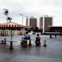
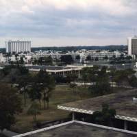
The University of Miami main campus is Coral Gables, just south of the city of Miami. This photograph was taken in 1978 and looks south across the food court, with resident halls on the horizon. The school was chartered in 1925 and currently enrolls…

http://www.ricdigitalcommons.com/temp/0556.jpg
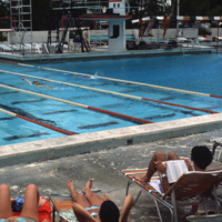
The pool at the university of Miami, Croal Gables campus. The campus is located just south of the city of Miami and was chartered in 1925. This photograph dates from the late 1970s.

http://www.ricdigitalcommons.com/temp/0554.jpg
This aerial photograph shows a South Beach that is virtually unrecognizable. Much of the area since this 1978 photograph has been redeveloped with high rise resorts.

http://www.ricdigitalcommons.com/temp/0553.jpg
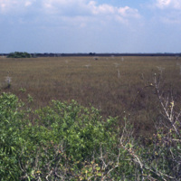
This photograph from the Everglades shows a key element of this unique environment, the sawgrass prairie. Sawgrass thrives in the shallow slow moving water that occupies much of the southern portion of the Florida peninsula. Although not much else…

http://www.ricdigitalcommons.com/temp/0551.jpg
The Miami skyline as seen from Key Biscayne in 1978. At the right are some of Miami’s most famous skyscrappers, including th SunTrust International Center, completed in 1973, and One Biscayne Tower, a symbol of the city, completed in 1972. At the…

http://www.ricdigitalcommons.com/temp/0550.jpg
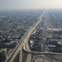
This aerial photograph looks south down Interstate 95 in Miami. In the foreground is the Golden Glades Interchange Extended. Interstate 95 is the longest running north-south route in the highway system, running from the Canadian border in Maine to…

http://www.ricdigitalcommons.com/temp/0549.jpg
The Miami Seaquarium is an oceanquarium. It is located in Biscayne Bay. Completed in 1955, the Miami Seaquarium was South Florida’s first Marinelife attraction. The Miami Seaquarium is primarily a tourist destination, famous for it’s opportunities to…

http://www.ricdigitalcommons.com/temp/0546.jpg
The Sunset Islands were the last of the man made islands to be built in Biscayne Bay. During the 1920s a land boom fueled the creation of several man made islands in Biscayne Bay, but at the end of a decade it the boom ended and many realtors went…

http://www.ricdigitalcommons.com/temp/0544.jpg
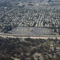
Residential neighborhoods and a drive in theater seen in this aerial photograph of Miami Beach. In the 1970s Miami Beach was largely a retirement community, but emigration from Cuba largely pushed them out in the following decade and effectively…
http://www.ricdigitalcommons.com/temp/0542.jpg
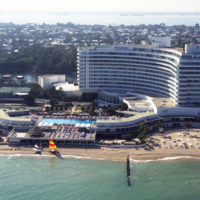
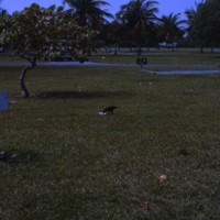
The Fontainebleu Hotel in Miami Beach is the largest and grandest example of Miami Modernist Architecture (MiMo). It was designed by Morris Lapidus, who designed many of the building in Miami Beach, and completed in 1954. In 2008 the Fontainebleu…

http://www.ricdigitalcommons.com/temp/0541.jpg
Looking north across Miami Beach’s Oceanfront show’s the hotels lined up on Collins Ave., the Bal Harbor Islands and Indian Creek, and finally North Miami on the horizon.
Output Formats
atom, dcmes-xml, json, omeka-xml, rss2