Browse Items (30 total)

  • Tags: highways

5211.jpg
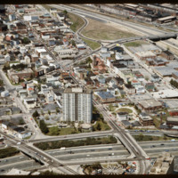
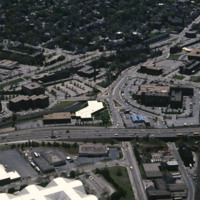
The Federal Hill neighborhood is home to approximately 8,000 residents and has been the traditional center of Rhode Island

5122.jpg
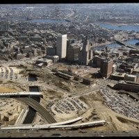
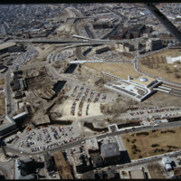
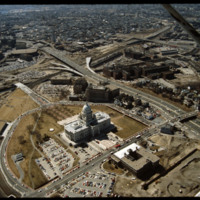
This image shows the transformation of Capital Center in progress. Francis Street construction is complete up until the over-passed train tracks and the bridge over the Woonasquatucket River. The former train tracks have been removed, but the land…

http://www.ricdigitalcommons.com/temp/4977.jpg
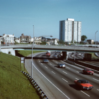
A view of the (then called) Bradford House from Interstate 95 in Providence. Completed in 1966, the building is one of several high-rise towers that was built around the city for elderly residents. As of 2015, the building is known as the Sister…

http://www.ricdigitalcommons.com/temp/4906.jpg
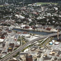
The Providence River separates the Downtown and East Side neighborhoods of Providence. The East Side is home to Brown University, and Rhode Island School of Design. Roger Williams founded Providence along College Hill, thus the East Side contains…

http://www.ricdigitalcommons.com/temp/4905.jpg
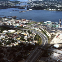
The northernmost points of Narragansett Bay, where it is fed by the Providence and Seekonk Rivers. The Port of Providence and Interstate 95 are in the foreground of the photograph. The construction of Interstate 95 effectively segregated Providence…

http://www.ricdigitalcommons.com/temp/4863.jpg
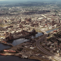
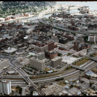
Downtown Providence from above, looking west across the Providence River into the cityscape. This 1976 view shows how Interstate 195 used to divide the city and occupy crucial downtown real estate. It was relocated in the 2000s to follow a more…

http://www.ricdigitalcommons.com/temp/5232.jpg
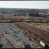
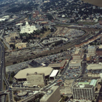
Looking west from downtown Providence, Interstate 95 runs across center frame. Parking lot in foreground is now the location of the Rhode Island Convention Center (1994) and the Westin Hotel and Residences (1993, 2007). The impressive structure at…

http://www.ricdigitalcommons.com/temp/5173.jpg
The Weybosset Hill area is bounded by Empire St. on the east, Broad and Washington Streets on the south and north, and Interstate 95 on the west. Redevelopment of this area stemmed from a 1959 recommendation of the City Plan Commission's master plan…

5144.jpg
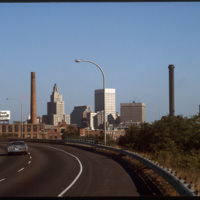
The Providence skyline, including the iconic Industrial Trust Building, pictured from Interstate 95.

http://www.ricdigitalcommons.com/temp/5139.jpg
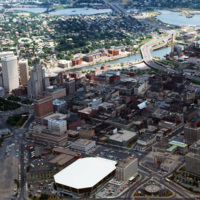
Aerial view looking west by southwest. I-95 junction with I-195. In the 2000s I-195 was relocated to the south to allow for development and to correct safety issues and that were the result of poor planning. The Providence Civic Center (Dunkin Donuts…

http://www.ricdigitalcommons.com/temp/5135.jpg
This image shows the transformation of Capital Center in progress. Francis Street construction is complete up until the over-passed train tracks and the bridge over the Woonasquatucket River. The former train tracks have been removed, but the land…

http://www.ricdigitalcommons.com/temp/5115.jpg
Aerial view of Interstate 95, new train tracks, the Charles Street area in the city’s North End (including the U.S. Post Office by Maguire and Associates, 1960), and the East Side.

http://www.ricdigitalcommons.com/temp/5128.jpg
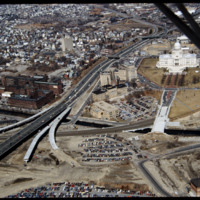
In this 1987 view the newly constructed Francis Street approach to the State House is complete thru the future intersection with Memorial Blvd. Interstate 95 separates Providence's West Side from downtown. The Foundry Building is on the left side of…

http://www.ricdigitalcommons.com/temp/1321.jpg
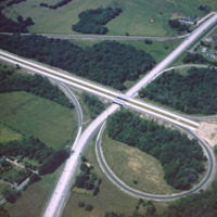
This 1960 photograph shows the construction of Interstate 95 at the junction of Route 2, also known as Quaker Lane. The area that is farm land has since been redeveloped as strip malls and large chain stores.

http://www.ricdigitalcommons.com/temp/1150.jpg
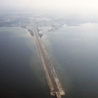
This is an aerial shot of the Howard Frankland Bridge connecting St. Petersburg to Tampa showing Causeway 275 on the Tampa side. The body of water it rests atop is the Old Tampa Bay. It was initially completed in the 1960s, and comprised of four…

http://www.ricdigitalcommons.com/temp/0986.jpg
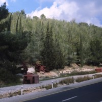
This photograph taken along the highway entering Jerusalem shows rusting truck chasis’ as a reminder of the 1948 Arab-Israeli War. Smolski writes about the dangers faced by convoys entering the city during the war in his 1980 article Glorious…

http://www.ricdigitalcommons.com/temp/0836.jpg
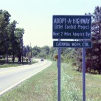
The Adopt a Highway program began in 1985. The program was conceived by James Evans, a engineer at the Texas Department of Transportation, who was inspired after seeing litter fly out of the back of a pickup. This 1990 photograph shows an Adopt a…

http://www.ricdigitalcommons.com/temp/0813.jpg
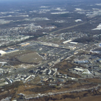
This aerial photograph shows strip mall development along Route Six in Seekonk. Running diagonally across the picture plane is Interstate Highway 195. Largely a residential suburb of Providence, Seekonk is also known for it’s retail shopping along…

http://www.ricdigitalcommons.com/temp/0790.jpg
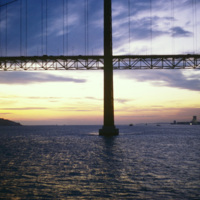
The 25 de Abril Bridge in Portugal is the largest suspension bridge in the world. Crossing over the Tagus River, the bridge was built by the American Bridge Company and inaugurated in 1966. It connects the capitol, Lisbon to Almada. Until 1974 the…

http://www.ricdigitalcommons.com/temp/0772.jpg
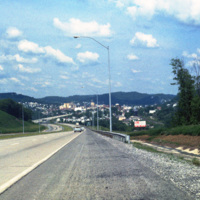
Clarksburg is a city in West Virginia with a population of 16,578 at the 2010 census. This 1981 photograph, taken on U.S. Route 50 shows the approach to the city and the hilly terrain that the city is built within. This section of Rt. 50 is part of…

http://www.ricdigitalcommons.com/temp/0592.jpg
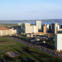
This photograph faces south east across Brasilia’s Monumental Access. The photograph was taken from the TV Tower. Prominent in the left middle ground is the Praça dos Aposentados, a housing complex for retired persons. Just behind that is the…

http://www.ricdigitalcommons.com/temp/0550.jpg
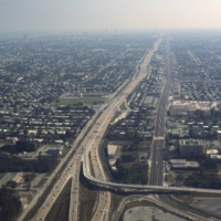
This aerial photograph looks south down Interstate 95 in Miami. In the foreground is the Golden Glades Interchange Extended. Interstate 95 is the longest running north-south route in the highway system, running from the Canadian border in Maine to…

http://www.ricdigitalcommons.com/temp/5459.jpg
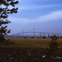
  Beginning in the late 1940s, efforts towards the construction of a bridge linking Jamestown to Newport began. From the 1940s on, at least 32 engineering studies were made for possible location of a suspension or cantilever bridge, a tunnel or…

5293.jpg
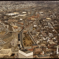
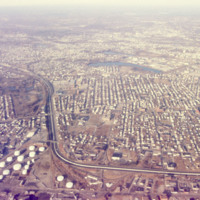
An aerial view of South Providence.  This image looks west, with Allens Ave. running parallel to the bottom of the picture plane and Interstate 95 prominently curving through the center of the image.  

http://www.ricdigitalcommons.com/temp/5244.jpg
Interstate 95 is the longest Interstate in Rhode Island. It was completed fully in 1972 and is the main highway that serves Providence. It was constructed first in Kent County and next in Providence and Pawtucket. It was finished in 1972 by…

5192.jpg
Aerial view of Providence downtown area. Among America’s oldest cities, Providence has a special sense of place. Like its contemporaries, it has been built and rebuilt many times. Development, however, has not resulted in wholesale destruction and…

http://www.ricdigitalcommons.com/temp/5164.jpg
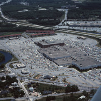
Warwick Mall is an enclosed shopping mall in Warwick, Rhode Island, on the north side of Interstate 295 near the junction of Interstate 95. Composed of more than 1,000,000-square-foot (100,000 m2) of retail space, it features more than 70 stores and…

http://www.ricdigitalcommons.com/temp/5163.jpg
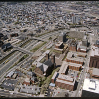
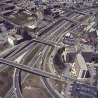
This aerial shows the way in which I-95 bisects the Financial District of downtown from Federal Hill and the West Side of Providence. Overpasses from top to bottom include Broadway, Washington Street, Westminster Sreet, Broad Street, and Pine Street…

http://www.ricdigitalcommons.com/temp/5119.jpg
Designed by the architectural firm of McKim, Mead & White and constructed from 1895 to 1904. The building underwent a major renovation in the late 1990s. The building is made up of 327,000 cubic feet (9,300 m3) of white Georgia marble, 15 million…

http://www.ricdigitalcommons.com/temp/5116.jpg
Here we see how the former Chinese Wall of train tracks had prevented the downtown development from reaching the capital. The center of the city is essentially a parking lot along the parameter of the downtown financial district. What we see is the…
Output Formats

atom, dcmes-xml, json, omeka-xml, rss2