Dublin Core
Title
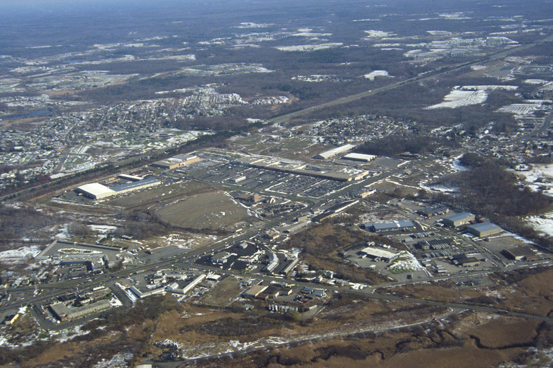
Seekonk: Aerial, Strip Mall Development on Route Six
Description
This aerial photograph shows strip mall development along Route Six in Seekonk. Running diagonally across the picture plane is Interstate Highway 195. Largely a residential suburb of Providence, Seekonk is also known for it’s retail shopping along Route Six, which was heavily developed in the late twentieth century. The land had previously been used for farming. Today very few farms exist in Seekonk.
Creator
Chester Smolski
Date
1990-01-01
Rights
Rhode Island College
Format
Photograph
Photograph
Identifier
0813
Smolski Image Item Type Metadata
City
Seekonk
Country
United States of America
Library of Congress Subject Headings
Aerial photography -- Massachusetts -- Seekonk; Aerial photography in land use -- Massachusetts -- Seekonk;
Region
Massachusetts
