Browse Items (35 total)

  • Tags: roads

http://www.ricdigitalcommons.com/temp/1277.jpg
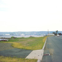
Duluth is a port city that is a hub for various regional commodities, including ore and agricultural products. This photograph shows a road on the shore of Lake Superior and looks toward Duluth.

http://www.ricdigitalcommons.com/temp/1321.jpg
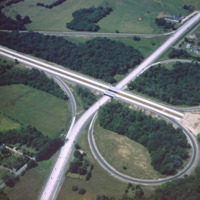
This 1960 photograph shows the construction of Interstate 95 at the junction of Route 2, also known as Quaker Lane. The area that is farm land has since been redeveloped as strip malls and large chain stores.

http://www.ricdigitalcommons.com/temp/1282.jpg
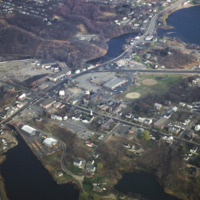
Apponaug is the center, or downtown, of Warwick, the second largest city in Rhode Island. Centered in this photograph is the City Hall, completed as the town hall in 1894, the city spent $75,000 to complete what is one of the most significant 19th…

http://www.ricdigitalcommons.com/temp/1264.jpg
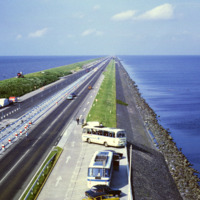
This photo shows the Afsluitdijk (Engish: Enclosure Dam), a 32 kilometer causeway in the Netherlands. The creation of the Enclosure Dam, completed in 1933, seperated Zuiderzee, a shallow bay, from the North Sea. The result was the creation of…

http://www.ricdigitalcommons.com/temp/1256.jpg
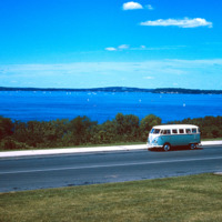
Lake Mendota is one of the two lakes that creates the isthmus which is home to Madison Wisconsin. This photo, from the summer of 1964, shows a Volkswagen Microbus parked by the shore of the lake, which is a popular destination for water sports and…

http://www.ricdigitalcommons.com/temp/1253.jpg
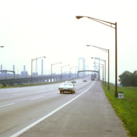
The Delaware Memorial Bridge was built in two spans. The first, completed in 1951, is on the left in this photograph, is now used to carry New Jersey bound traffic on Interstate Highway 295. Originally it carried traffic in both directions, but…

http://www.ricdigitalcommons.com/temp/1238.jpg
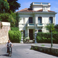
The Moyenne Corniche connects Mento to Nice and runs through the Côte d’Azur (English: French Riviera) and is named such because it is the middle cliff road between a higher and lower road. The French Riviera has long been the vacation land and…

http://www.ricdigitalcommons.com/temp/1237.jpg
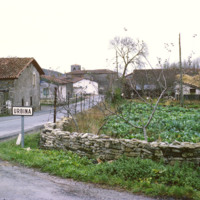
This photograph shows the village of Urbina. The road is A-4016, which runs through the center of the small village. It is about 20 miles south of Bilbao, capital of the province of Biscany.

http://www.ricdigitalcommons.com/temp/0836.jpg
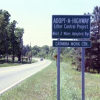
The Adopt a Highway program began in 1985. The program was conceived by James Evans, a engineer at the Texas Department of Transportation, who was inspired after seeing litter fly out of the back of a pickup. This 1990 photograph shows an Adopt a…

http://www.ricdigitalcommons.com/temp/0813.jpg
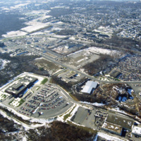
This aerial photograph shows strip mall development along Route Six in Seekonk. Running diagonally across the picture plane is Interstate Highway 195. Largely a residential suburb of Providence, Seekonk is also known for it’s retail shopping along…

http://www.ricdigitalcommons.com/temp/0812.jpg
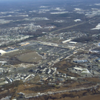
This photograph shows industrial and commercial developments in East Providence along state highway 114. Just barely visible on the horizon is Narragansett bay. The containers on the bay have since been torn down and the area has largely returned…

http://www.ricdigitalcommons.com/temp/0804.jpg
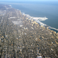
This aerial photograph shows Chicago’s north side, and Lake Michigan. Running along the shore is Chicago’s Lake Shore Drive, dotted with high rise buildings. Officially part of U.S. Highway 41, Lake Shore Drive serves to accommodate the travel needs…

http://www.ricdigitalcommons.com/temp/0760.jpg
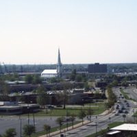
This photograph, believed to be taken from the Crowne Plaza, looks south down St. Paul’s Blvd. in Norfolk. On the horizon is the Basilica of St. Mary of the Immaculate Conception Church. The cathedral was constructed in 1858 after the original…

http://www.ricdigitalcommons.com/temp/0550.jpg
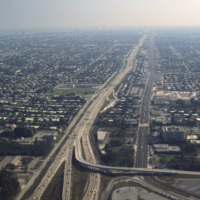
This aerial photograph looks south down Interstate 95 in Miami. In the foreground is the Golden Glades Interchange Extended. Interstate 95 is the longest running north-south route in the highway system, running from the Canadian border in Maine to…

http://www.ricdigitalcommons.com/Baxter_temp/CV-89-019.jpg
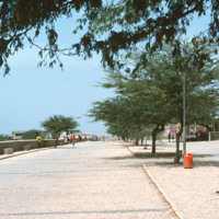
A cobblestone road in Vila do Maio runs along the shore of coastal town. Vila do Maio is the main settlement on the island, in recent years it has seen population growth and some development.

http://www.ricdigitalcommons.com/Baxter_temp/CV-88-118.jpg
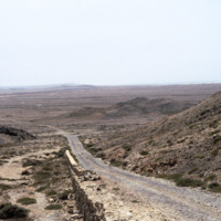
One of the hillier parts of a road surrounded by barren earth that levels out in the background.

http://www.ricdigitalcommons.com/Baxter_temp/CV-88-116.jpg
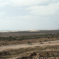
The landscape features a road in the foreground, what appears to be an agricultural planting in the middleground, and dunes in the background.

http://www.ricdigitalcommons.com/Baxter_temp/CV-88-114.jpg
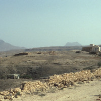
A boy stands on the side of a road leading to a village in Boa Vista. Mountainous terrain can be seen in the distance.

http://www.ricdigitalcommons.com/Baxter_temp/CV-88-113.jpg
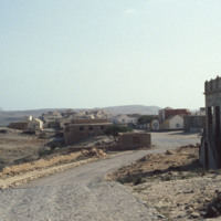
A boy stands across the road from a well-preserved and intriguing building among debris, adjacent to a village in Boa Vista.

http://www.ricdigitalcommons.com/Baxter_temp/CV-88-075.jpg
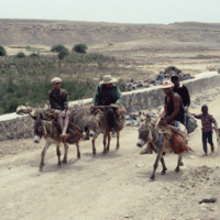
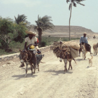
Men and children on donkeys stop to rest on the road that leads to Sal Rei.

http://www.ricdigitalcommons.com/Baxter_temp/CV-88-074.jpg
David Baxter passes by four men with donkeys and a dog on the road to Sal Rei.

http://www.ricdigitalcommons.com/Baxter_temp/CV-83-035.jpg
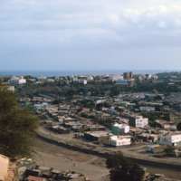
Praia, the capital and largest city in Cape Verde, as photographed in 1983. The Domingos Ramos Secondary School is visible in the distance on the left side of the image. The Maria Pia lighthouse can be seen in the distance near the center of the…

http://www.ricdigitalcommons.com/Baxter_temp/CV-81-355.jpg
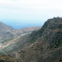
A dirt road winds up the steep mountainous terrain of Brava to a small, unidentified, village.

http://www.ricdigitalcommons.com/Baxter_temp/CV-81-354.jpg
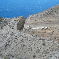
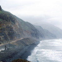
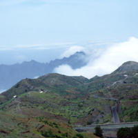
A coastal road cut into the mountainous terrain of Brava.

http://www.ricdigitalcommons.com/Baxter_temp/CV-81-335.jpg
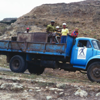
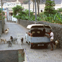
The aluguer that provides service between Nova Sintra and Fajã d'Água. Trucks are used to transport people, goods and livestock between towns.

http://www.ricdigitalcommons.com/Baxter_temp/CV-81-326.jpg
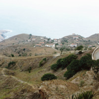
Taken from an aluguer en route to Fajã d'Água, this elevated view of Nova Sintra shows the coastline and some of the volcanic crater that Furna is nestled within. Most of Brava's coastline is made of steep cliff's that rise to a dry tableland, as…

http://www.ricdigitalcommons.com/Baxter_temp/CV-81-323.jpg
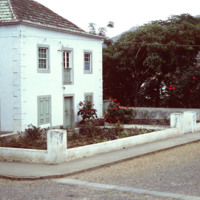
A home in Nova Sintra, a quaint village on Brava that has cobblestone streets lined with hibiscus trees. In years with plenty of rain the village becomes a vibrant world of flowering vegetation.

http://www.ricdigitalcommons.com/Baxter_temp/CV-81-264.jpg
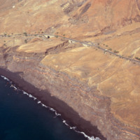
An aerial view of São Felipe shows beautiful stone bridges that cross steep valleys on this coastal road.

http://www.ricdigitalcommons.com/Baxter_temp/CV-81-218.jpg
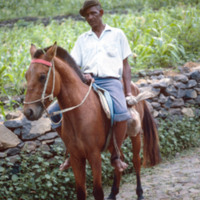
Portrait of a middle aged man on horseback. The cobblestone streets are a feature of Ribeira Brava, a city in the hinterland of São Nicolau. The city is also known for it's fertile landscape and colorful architecture.

http://www.ricdigitalcommons.com/Baxter_temp/CV-81-203.jpg
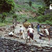
A group of workers repair a cobblestone road in Ribeira Brava, the main city on São Nicolau. The cit is known for cobblestone roads and beautiful, colorful architecture. Until the closing of a local seminary school in the early 20th century, Ribeira…

http://www.ricdigitalcommons.com/Baxter_temp/CV-81-108.jpg
This coastal road, on the northern coast of Santo Antão, connects the towns of Ribeira Grande and Paúl. The road is gravel and dirt, and is, as one can see in this photograph, largely used for foot traffic. The road, for much of it's lebth, is…

http://www.ricdigitalcommons.com/Baxter_temp/CV-81-107.jpg
Road to Paùl, now much improved, was once inaccessible. Today there is a modern new road built on the edge of the cliffs offering a path to the interior of the island.

http://www.ricdigitalcommons.com/Baxter_temp/CV-81-105.jpg
A man with livestock in Ribeira Grande stands by his automobile. Ribeira Grande, known locally as Povoaçao, is known for it's cobbled streets. The steep grade at which the building ascend the nearby mountains is due to it's location between the…

http://www.ricdigitalcommons.com/Baxter_temp/CV-81-090.jpg
Journey to Ribeira Grande, one of the most spectacular road trips a visitor to Cape Verde can experience. In this image you can see how the mountains are stepped for farming. The island has two main peaks reaching 6,493 feet and 5,197 feet.

http://www.ricdigitalcommons.com/Baxter_temp/CV-80-212.jpg
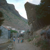
Children and woman in a dirt road in São Nicolau's interior valley.
Output Formats

atom, dcmes-xml, json, omeka-xml, rss2