Browse Items (49 total)

  • Tags: fogo

http://www.ricdigitalcommons.com/Baxter_temp/CV-81-311.jpg
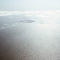
Aerial photograph of the island Fogo and the nearby Ilhéus do Rombo, a group of small islets that have since been declared nature preserves.

http://www.ricdigitalcommons.com/Baxter_temp/CV-81-309.jpg
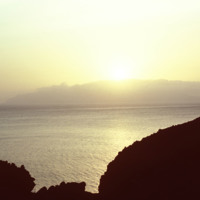
Sunset photographed from an unknown location on Fogo.

Tags:

http://www.ricdigitalcommons.com/Baxter_temp/CV-81-308.jpg
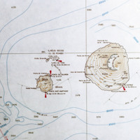
Contour map of the island, Fogo. The island, located in the Cape Verde archipelago, is mostly a large volcano, Pico do Fogo. It is laregly dormant, but has had intermittent eruptions, the last of which occurring in 1995.

http://www.ricdigitalcommons.com/Baxter_temp/CV-81-307.jpg
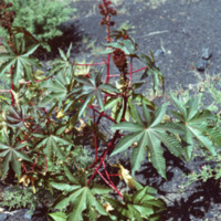
Unknown vegetation growing near Pico do Fogo. Eruptions deposit minerals in the ground that makes the soil extremely fertile.

http://www.ricdigitalcommons.com/Baxter_temp/CV-81-306.jpg
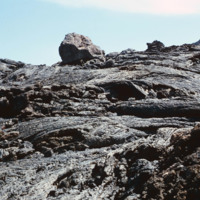
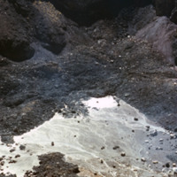
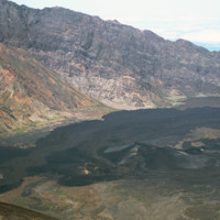
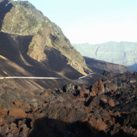
Volcanic rock from recent (as of 1981) lava flows at Pico do Fogo. Since then, this volcano has erupted once in 1995.
http://www.ricdigitalcommons.com/Baxter_temp/CV-81-305.jpg
David Baxter's guide to Pico do Fogo, a volcano on Fogo that is mostly dormant but has erupted as recently as 1995.
http://www.ricdigitalcommons.com/Baxter_temp/CV-81-304.jpg
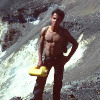
David Baxter photographed inside Pico do Fogo, a volcano on the island of Fogo.
http://www.ricdigitalcommons.com/Baxter_temp/CV-81-300.jpg
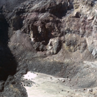
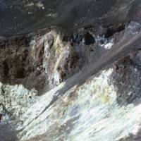
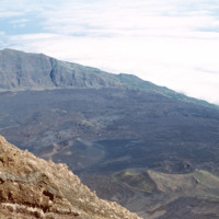
Photograph showing the inside of Pico do Fogo, at the time of this photograph, a dormant volcano. Since 1981 it has had one eruption, in 1995.

http://www.ricdigitalcommons.com/Baxter_temp/CV-81-299.jpg
Photograph showing the inside of Pico do Fogo, at the time of this photograph, a dormant volcano. Since 1981 it has had one eruption, in 1995.

http://www.ricdigitalcommons.com/Baxter_temp/CV-81-298.jpg
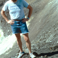
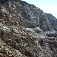
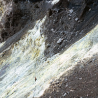
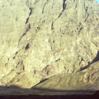
Photograph showing the inside of Pico do Fogo, at the time of this photograph, a dormant volcano. Since 1981 it has had one eruption, in 1995. There is a man in the photograph to give scale to the massive, rocky slope pictured.

http://www.ricdigitalcommons.com/Baxter_temp/CV-81-297.jpg
Photograph showing the inside of Pico do Fogo, at the time of this photograph, a dormant volcano. Since 1981 it has had one eruption, in 1995.

http://www.ricdigitalcommons.com/Baxter_temp/CV-81-296.jpg
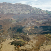
Landscape view of Pico do Fogo shows the craters and lava flow patterns, but also the steep slope of the original volcano.

http://www.ricdigitalcommons.com/Baxter_temp/CV-81-295.jpg
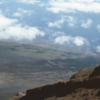
Looking down from Pico do Fogo to the island below, a city can be seen on the horizon [pehaps São Felipe?].

http://www.ricdigitalcommons.com/Baxter_temp/CV-81-294.jpg
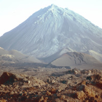
From the top of Pico do Fogo, this photograph shows the crater and lava formations around this active volcano. Pico do Fogo, at 2,829 metres is the highest point in the Cape Verde archipelago.

http://www.ricdigitalcommons.com/Baxter_temp/CV-81-293.jpg
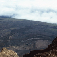
Photograph from the top of Pico do Fogo looks out into the clouds. The peak, standing at 2,829 meters, is the highest point in the Cape Verde archipelago.

http://www.ricdigitalcommons.com/Baxter_temp/CV-81-292.jpg
From the slope of Pico do Fogo looking over a planes of volcanic rock intermingled with sparse vegetation that thrives on the mineral rich soil left behind by an eruption. The last eruption occurred in 1995, an event that completely destroyed the…

http://www.ricdigitalcommons.com/Baxter_temp/CV-81-291.jpg
The slope of Pico do Fogo seen from the shadowy crater below. The voclano is still active, last erupting in 1995, an event which destroyed the nearby village of Boca Fonte and created a new peak, known simply as the 1995 peak. The Pico, standing at…

http://www.ricdigitalcommons.com/Baxter_temp/CV-81-290.jpg
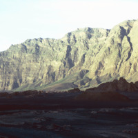
The steep slope of Pico do Fogo seen from the shadowy crater below. Pico do Fogo is an active volcano, it's last eruption was in 1995 which destroyed the village of Boca Fonte.

http://www.ricdigitalcommons.com/Baxter_temp/CV-81-289.jpg
This is one of the exterior sides of Pico de Fogo. Coffee beans are planted and successfully grown around the slope terrain immediately surrounding the volcano.

http://www.ricdigitalcommons.com/Baxter_temp/CV-81-288.jpg
The Pico de Fogo is the area of highest elevation on the island of Fogo. This active volcano stands 1,200 meters high. Before this picture was taken, the volcano had erupted twice; once in 1675, and again in 1847. Since then, it has erupted once in…
http://www.ricdigitalcommons.com/Baxter_temp/CV-81-287a.jpg
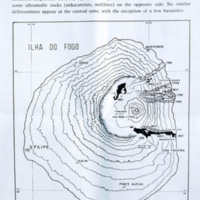
This map illustrates the history of volcanic eruptions on the island of Fogo. "On the western slope of the island there are differentiated types passing into basanites (nepheline basalts), tephrites, and phonolites, on the salic side, and into some…

Tags: , ,

http://www.ricdigitalcommons.com/Baxter_temp/CV-81-287.jpg
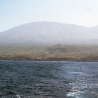
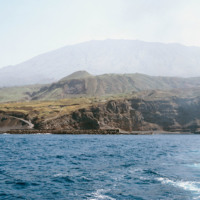
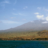
Pico do Fogo, the highest point in Cape Verde, and most of the island Fogo, photographed here from offshore.

http://www.ricdigitalcommons.com/Baxter_temp/CV-81-286.jpg
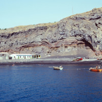
Porto de Vale de Cavaleiros photographed from offshore. On the horizon Pico do Fogo extends into the sky.

http://www.ricdigitalcommons.com/Baxter_temp/CV-81-285.jpg
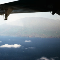
Photographed from offshore, the isle of Fogo with it's 2,829 meter Pico do Fogo extending into the cloud. This is the highest point in Cape Verde.

http://www.ricdigitalcommons.com/Baxter_temp/CV-81-284.jpg
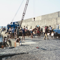
Cargo is transported to shore at Porto de Vale de Cavaleiros. This port serves the island of Fogo and is located about four kilometers north of São Felipe.

http://www.ricdigitalcommons.com/Baxter_temp/CV-81-283.jpg
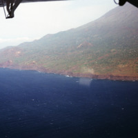
Photographed offshore, the island of Fogo. The island is mostly a volcano, Pico do Fogo, which is still active, it's last eruption occurring in 1995.

http://www.ricdigitalcommons.com/Baxter_temp/CV-81-282.jpg
Cargo is loaded at Porto de Vale de Cavaleiros, a port about four kilometers north of São Felipe that serves Fogo.

http://www.ricdigitalcommons.com/Baxter_temp/CV-81-281.jpg
Porto de Vale de Cavaleiros, just north of São Felipe. A crane is used to life cargo from smaller wooden boats to bring to a larger ship docked a couple hundred feet off shore.

http://www.ricdigitalcommons.com/Baxter_temp/CV-81-280.jpg
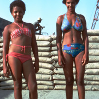
Two unidentified young women pose for a portrait at Porto de Vale de Cavaleiros, a port north of São Felipe.

http://www.ricdigitalcommons.com/Baxter_temp/CV-81-279.jpg
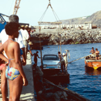
Cargo, in this photograph a car, is loaded via crane at Porto de Vale de Cavaleiros. Cargo is moved from a larger ship, not in this photograph, to smaller vessels that transport cargo between the ship and the dock.

http://www.ricdigitalcommons.com/Baxter_temp/CV-81-278.jpg
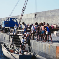
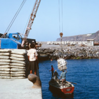
Cargo is lifted from this wooden boat by crane and moved to the docks of Porto de Vale de Cavaleiros. The cargo is believed to be from a larger, commercial ship docked about 100 m off shore (see "Commercial Vessel, Docked").

http://www.ricdigitalcommons.com/Baxter_temp/CV-81-277.jpg
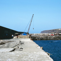
Photograph taken from the sea protection wall at Porto de Vale de Cavaleiros on Fogo. The port, approximately 4 km north of São Felipe, is also a popular place for swimming because the harbor provides some protection from the sea.

http://www.ricdigitalcommons.com/Baxter_temp/CV-81-276.jpg
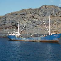
A commercial fishing vessel is photographed docked near São Felipe. It is believed to be docked at Porto de Vale de Cavaleiros.

http://www.ricdigitalcommons.com/Baxter_temp/CV-81-275.jpg
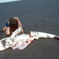
A young man on a Fogo beach, near São Felipe, guts a shark that has just been caught by local fishermen. The black sand beaches of Fogo are surrounded by ominous cliffs that have been carved over thousands of years by Atlantic breakers.

http://www.ricdigitalcommons.com/Baxter_temp/CV-81-274.jpg
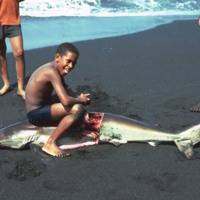
A young man guts a shark that has been caught and brought back to shore. This beach is located near São Felipe on Fogo.

http://www.ricdigitalcommons.com/Baxter_temp/CV-81-272.jpg
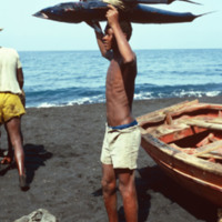
A young man on the shore of Fogo holds a fresh catch over his head. It appears that he has caught a tuna and a shark.

http://www.ricdigitalcommons.com/Baxter_temp/CV-81-271.jpg
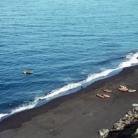
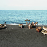
Fishermen and their vessels on the shore of a black sand beach near São Felipe. The beaches are short and quickly give way to ominous cliffs that begin the steep slope of Fogo, the volcano island.
http://www.ricdigitalcommons.com/Baxter_temp/CV-81-270.jpg
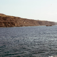
A long look across Fogo's ominous cliffs that hang over the islands black sand beaches. In the foreground some local fishing vessels have been dragged ashore, or perhaps are waiting to be launched (from the shadows in the picture this picture seems…

http://www.ricdigitalcommons.com/Baxter_temp/CV-81-269.jpg
A view from above shows a beach near São Felipe from which a group of fishermen appear to be returning from a days work on the ocean. This photograph is taken from atop on of Fogo's ominous cliffs, carved out by Atlantic breakers. The black sand…

http://www.ricdigitalcommons.com/Baxter_temp/CV-81-268.jpg
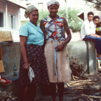
Two female residents of São Felipe pose for a photograph. They appear to be taking a break from some activity, perhaps sorting or selling firewood. In the background, some of the pastel buildings and terracotta roofs that this city is known for.

http://www.ricdigitalcommons.com/Baxter_temp/CV-81-267.jpg
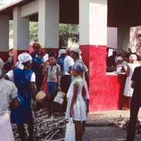
A busy market scene in São Felipe, the main city on Fogo. Although the island is home to a large and active volcano, and also because of it, it is a well populated island due to the high fertility of the soil. São Felipe is known for it's pastel…

http://www.ricdigitalcommons.com/Baxter_temp/CV-81-266.jpg
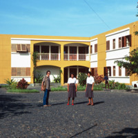
Three unidentified residents stand outside this building, believed to be an apartment complex, but it could also be a resort. São Felipe sits of the western coast of Fogo and is home to the islands sea and air ports. The architecture of the city is…

http://www.ricdigitalcommons.com/Baxter_temp/CV-81-265.jpg
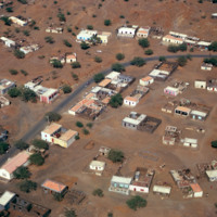
An aerial view of São Felipe shows the mixture of decaying homes with beautiful pastel buildings with terracotta tiled roofs.

http://www.ricdigitalcommons.com/Baxter_temp/CV-81-264.jpg
An aerial view of São Felipe shows beautiful stone bridges that cross steep valleys on this coastal road.

http://www.ricdigitalcommons.com/Baxter_temp/CV-81-263.jpg
An aerial view of São Felipe and Porto de Vale de Cavaleiros. The port is north of the the town center of São Felipe. Notice the sea protection wall that juts out into the ocean, designed to protect ships from the rough waves and strong winds that…

http://www.ricdigitalcommons.com/Baxter_temp/CV-81-262.jpg
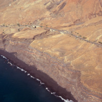
An aerial view of Fogo shows vegetation and settlements on the slope of the volcano. This photograph was made in 1981. In 1995 an eruption caused all the residents of the island to be evacuated as many the homes were destroyed.

http://www.ricdigitalcommons.com/Baxter_temp/CV-81-261.jpg
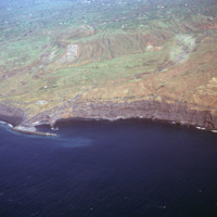
An aerial view of Fogo, a an almost perfectly round island containing one large, active volcano. Pico do Fogo, the volcano itself, is the highest point in Cape Verde. The last erruption to date (2012) was in 1995. This photograph was made in 1981.
http://www.ricdigitalcommons.com/Baxter_temp/CV-81-260.jpg
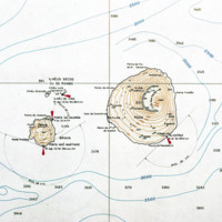
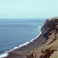
A contour map of the islands Fogo and Brava, a detail from a larger map showing the entire Cape Verde archipelago. Note the contour of Fogo, which contains Pico do Fogo, the highest point in Cape Verde, and active volcano.
Output Formats

atom, dcmes-xml, json, omeka-xml, rss2