Browse Items (75 total)

  • Tags: landscape

http://www.ricdigitalcommons.com/temp/4950.jpg
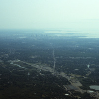
An aerial photo showing the skyline of the city Boston and the cloudy Quincy Bay to its right.

http://www.ricdigitalcommons.com/temp/4925.jpg
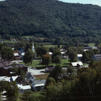
Aerial image of the downtown village of South Royalton in Royalton, Vermont from Interstate 89. Royalton is known for the Vermont Law School (Vermont's only law school) as well as being home to beautiful scenery such as the Kent's Ledge hiking trail…

http://www.ricdigitalcommons.com/temp/4904.jpg
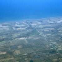
A view of Lake Ontario and Rochester, NY in the early 1970s. Lake Ontario is the fourteenth largest lake in the world, and one of the Great Lakes of America -- Rochester, NY is often called a Great Lake City for this reason.

http://www.ricdigitalcommons.com/temp/1315.jpg
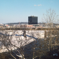
By 1970 Woonsocket was being referred to as a lost city (Providence Journal). In response the city entered a resurgence phase. The biggest change was the creation of a new downtown in the area known as the Social Flatlands. The black high rise in the…

http://www.ricdigitalcommons.com/temp/1256.jpg
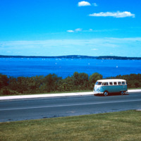
Lake Mendota is one of the two lakes that creates the isthmus which is home to Madison Wisconsin. This photo, from the summer of 1964, shows a Volkswagen Microbus parked by the shore of the lake, which is a popular destination for water sports and…

http://www.ricdigitalcommons.com/temp/1062.jpg
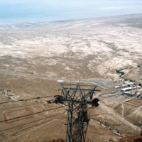
This photograph looks east from Masada towards the Dead Sea. Masada is a natural fortress that was most invested in by King Herod, who in the first century BC constructed a intricate palace atop this isolated horst. Masada was the site of a mass…

http://www.ricdigitalcommons.com/Baxter_temp/CV-89-031.jpg
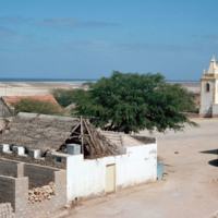
A view from the center of Vila do Maio. At the right of the frame is the Cathedral of Nossa Senhora da Luz (Our Lady of Light). Cobblestone streets are predominant in this coastal village.

http://www.ricdigitalcommons.com/Baxter_temp/CV-89-010.jpg
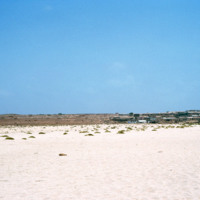
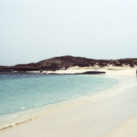
A view of Vila do Maio across the white sands of a nearby beach. This view shows how flat and dry the island is. It has been called the "forgotten island," and it's principle resource is salt, which was heavy mined and exported from the 16th to the…

http://www.ricdigitalcommons.com/Baxter_temp/CV-89-001.jpg
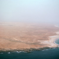
An east facing aerial view of Maio photographed from above Vila do Maio.

http://www.ricdigitalcommons.com/Baxter_temp/CV-88-118.jpg
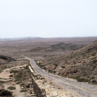
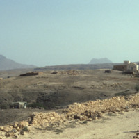
One of the hillier parts of a road surrounded by barren earth that levels out in the background.

http://www.ricdigitalcommons.com/Baxter_temp/CV-88-116.jpg
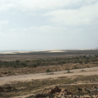
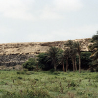
The landscape features a road in the foreground, what appears to be an agricultural planting in the middleground, and dunes in the background.

http://www.ricdigitalcommons.com/Baxter_temp/CV-88-115.jpg
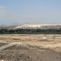
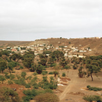
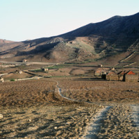
A few individuals can identified on a footpath making their way toward a village in the background.

http://www.ricdigitalcommons.com/Baxter_temp/CV-88-114.jpg
A boy stands on the side of a road leading to a village in Boa Vista. Mountainous terrain can be seen in the distance.

http://www.ricdigitalcommons.com/Baxter_temp/CV-88-073.jpg
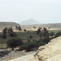
Flora alongside a road to Sal Rei.

http://www.ricdigitalcommons.com/Baxter_temp/CV-88-070.jpg
On the road returning to Sal Rei, David Baxter snaps a photo of one of the more mountainous areas on Boa Vista.

http://www.ricdigitalcommons.com/Baxter_temp/CV-88-030.jpg
Ilha de Sal-Rei, an islet located just 1 km west of Sal Rei, Boa Vista is a small relatively deserted area. Although little remnants remain, the islet is known as the site of the fort of the Duque de Bragan

http://www.ricdigitalcommons.com/Baxter_temp/CV-85-046.jpg
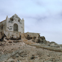
The ruins of a small chapel are photographed against a dramatic sky. These ruins on Boa Vista are located near Praia de Cabral, a beach that is within two miles of Sal Rei. Not pictured here but nearby are the ruins of a home that has a staircase…

http://www.ricdigitalcommons.com/Baxter_temp/CV-85-043.jpg
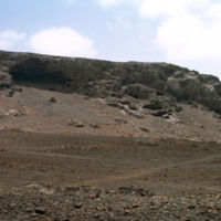
A desolate area inland from Praia de Cabral. Nearby are the ruins of a small chapel.

http://www.ricdigitalcommons.com/Baxter_temp/CV-85-041.jpg
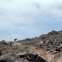
Goats roam a rocky, desolate area just inland from Praia de Cabral, a white sand beach about two miles from Sal Rei.

http://www.ricdigitalcommons.com/Baxter_temp/CV-85-039.jpg
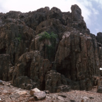
A desolate area "behind" Praia Cabral, a beach about two miles from Sal Rei.

http://www.ricdigitalcommons.com/Baxter_temp/CV-83-036.jpg
A panoramic view of Praia, similar to slide CV-83-035, Praia, Capital of Cape Verde. On the left of the frame the Domingos Ramos Secondary School, with it's distinctive, pyramid-like tower rising above the city, can be seen.

http://www.ricdigitalcommons.com/Baxter_temp/CV-83-034.jpg
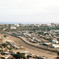
An inland view of an unidentified neighborhood in Praia, the capital of Cape Verde. During the day the downtown area is a bustling business center, but at night merchants and workers retire to the communities scattered in the neighboring plains, such…

http://www.ricdigitalcommons.com/Baxter_temp/CV-81-361.jpg
After a journey by small boat from Fajã d'Água, Davide Baxter and his good friend and guide Eduardo (Dudu) Camilo arrive in Cachaço. A winding path lined with hibiscus wrape around the stone houses in this small island vila.

http://www.ricdigitalcommons.com/Baxter_temp/CV-81-360.jpg
Cachaço photographed by David Baxter after journeying from Fajã d'Água with his guide Eduardo (Dudu) Camilo. Cachaço is a small vila about 5 km south of Nova Sintra.

http://www.ricdigitalcommons.com/Baxter_temp/CV-81-358.jpg
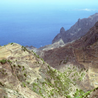
Some vegetation dots the side of this mountainous region of Brava. Most of Brava is a large tableland elevated from a steep coastline. There are also some peaks that jut out of the tableland, such as this photograph shows.

http://www.ricdigitalcommons.com/Baxter_temp/CV-81-357.jpg
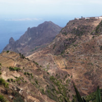
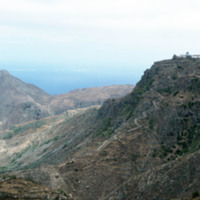
A long elevated view of Brava's landscape shows one of the more mountainous sections of the island, most of which is an elevated by relatively flat tableland. On the horizon Ilhéu da Areia, a small islet north of Fajã d'Água, can be seen through the…

http://www.ricdigitalcommons.com/Baxter_temp/CV-81-355.jpg
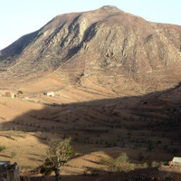
A dirt road winds up the steep mountainous terrain of Brava to a small, unidentified, village.

http://www.ricdigitalcommons.com/Baxter_temp/CV-81-354.jpg
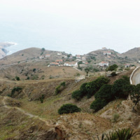
A coastal road cut into the mountainous terrain of Brava.

http://www.ricdigitalcommons.com/Baxter_temp/CV-81-347.jpg
Brava's varied, but always rocky, coastline photographed during a journey by small boat from Faj

http://www.ricdigitalcommons.com/Baxter_temp/CV-81-333.jpg
Brava landscape taken in the mist of the elevated tableland that makes up most of the island. This photograph was taken during an overland journey by truck from Nova Sintra to Fajã d'Água.

http://www.ricdigitalcommons.com/Baxter_temp/CV-81-332.jpg
The tableland of Brava is photographed during a journey between Nova Sintra and Fajã d'Água. The high elevation of the islands interior is evidenced by the clouds.

http://www.ricdigitalcommons.com/Baxter_temp/CV-81-329.jpg
Photograph taken during an overland journey between Nova Sintra and Fajã d'Água. Rising into the mist is Monte Fontainhas, at 977 m it is the highest point on Brava.

http://www.ricdigitalcommons.com/Baxter_temp/CV-81-328.jpg
Photo of the dry, central tableland taken during an overland journey from Nova Sintra to Fajã d'Água.

http://www.ricdigitalcommons.com/Baxter_temp/CV-81-327.jpg
The try tableland of Brava was once green and lush, but a significant drought in the mid-twentieth century has c ontinued to effect the landscape and vegetation of the island. This photo was taken during a journey by aluguer from Nova Sintra to Fajã…

http://www.ricdigitalcommons.com/Baxter_temp/CV-81-326.jpg
Taken from an aluguer en route to Fajã d'Água, this elevated view of Nova Sintra shows the coastline and some of the volcanic crater that Furna is nestled within. Most of Brava's coastline is made of steep cliff's that rise to a dry tableland, as…

http://www.ricdigitalcommons.com/Baxter_temp/CV-81-320.jpg
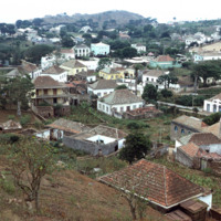
Nova Sintra, a community of seven "praças" or squares because of the hilly terrain. It is named for the Portuguese town of Sintra, and it's structures, whitewash with red tiles, pay tribute to that.

http://www.ricdigitalcommons.com/Baxter_temp/CV-81-318.jpg
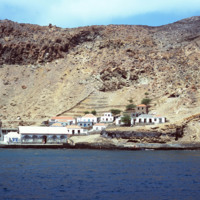
View of Furna from the harbor. This photograph was taken from a boat traveling from Fogo to Brava carrying passengers, goods and livestock.

http://www.ricdigitalcommons.com/Baxter_temp/CV-81-317.jpg
Furna, the main port on Brava, is photographed from an approaching boat carrying goods and passengers from Fogo.

http://www.ricdigitalcommons.com/Baxter_temp/CV-81-315.jpg
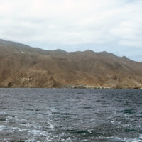
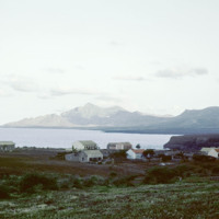
The coastline of Brava is photographed from a boat that has voyaged from Fogo. On the right of the frame you can see the port city of Furna.

http://www.ricdigitalcommons.com/Baxter_temp/CV-81-313.jpg
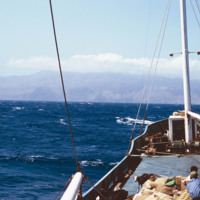
Photograph taken aboard a boat travelling to Brava from Fogo. On the horizon Brava extends into the clouds. Aboard the boat livestock, goods and passengers mingle together.

http://www.ricdigitalcommons.com/Baxter_temp/CV-81-296.jpg
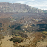
Landscape view of Pico do Fogo shows the craters and lava flow patterns, but also the steep slope of the original volcano.

http://www.ricdigitalcommons.com/Baxter_temp/CV-81-293.jpg
Photograph from the top of Pico do Fogo looks out into the clouds. The peak, standing at 2,829 meters, is the highest point in the Cape Verde archipelago.

http://www.ricdigitalcommons.com/Baxter_temp/CV-81-290.jpg
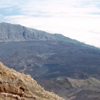
The steep slope of Pico do Fogo seen from the shadowy crater below. Pico do Fogo is an active volcano, it's last eruption was in 1995 which destroyed the village of Boca Fonte.

http://www.ricdigitalcommons.com/Baxter_temp/CV-81-285.jpg
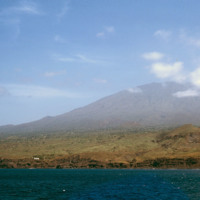
Photographed from offshore, the isle of Fogo with it's 2,829 meter Pico do Fogo extending into the cloud. This is the highest point in Cape Verde.

http://www.ricdigitalcommons.com/Baxter_temp/CV-81-229.jpg
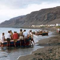
Small, wooden fishing vessels are dragged back onto shore after a days work in Tarrafal. This coastal town on the western shore of São Nicolau relies largely on fishing industries to fuel it's local economy.
http://www.ricdigitalcommons.com/Baxter_temp/CV-81-225.jpg
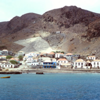
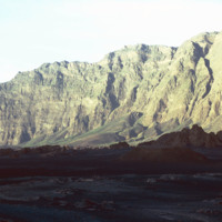
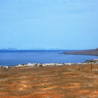
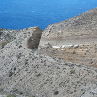
Tarrafal is a city on the western coast of São Nicolau. This port town lies at the base of many barren, stony hills.

http://www.ricdigitalcommons.com/Baxter_temp/CV-81-223.jpg
Looking north from Tarrafal, across the bay, with the mountainous northwestern corner of the island on the horizon. Tarrafal is the seat of Tarrafal de São Nicolau municipality and it's economy is largely based on local fishing industries.
http://www.ricdigitalcommons.com/Baxter_temp/CV-81-222.jpg
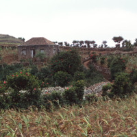
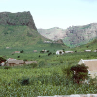
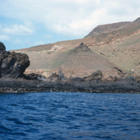
A village near Ribeira Brava in the São Nicolau highlands. Ribeira Brava is located in the hinterland of São Nicolau which is a very fertile region for the Cape Verdean islands, which are largely composed of volcanic rock. This photograph shows the…
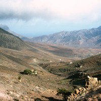
http://www.ricdigitalcommons.com/Baxter_temp/CV-81-211.jpg
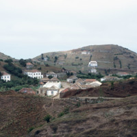
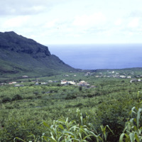
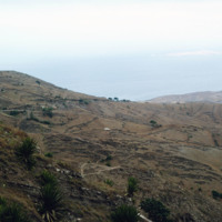
A wide landscape view of Ribeira Brava in the hinterland of São Nicolaiu. This are of São Nicolau is particularly fertile, especially for an island in an archipelago made of volcanic rock. Scattered throughout the green valley is the town of Ribeira…
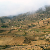
http://www.ricdigitalcommons.com/Baxter_temp/CV-81-208.jpg
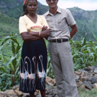
This portrait was taken by Baxter of a middle aged man and woman standing in front of a line of corn stalks in the Ribera Brava / Panja region of Cape Verde.
Output Formats

atom, dcmes-xml, json, omeka-xml, rss2