Browse Items (19 total)
- Tags: ruins
Sort by:
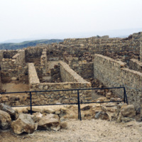
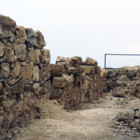
Masada: Ruins of Herod’s Palace
Excavations of Masada were not seriously undertaken until the 1960s when Masada became part of Israeli territory. With the help of twentieth century technology archeologists were able to access this natural fortress that had been largely untouched…
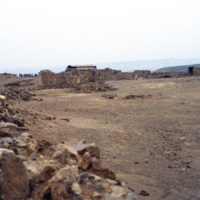
Masada: View from the top (2 of 2)
Upon embarking on a rigorous and dangerous climb, tourists can reach the top of Masada by a small number of pathways. Spanning around 200,000 square yards, the top of Masada is completely flat. Today, the top still contains the ruins of Herod’s…
Masada: View from the top (1 of 2)
Upon embarking on a rigorous and dangerous climb, tourists can reach the top of Masada by a small number of pathways. Spanning around 200,000 square yards, the top of Masada is completely flat. Today, the top still contains the ruins of Herod’s…
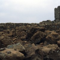
Masada: Natural Fortress, Ruins, Visitors
This photo is taken at the top of Masada, a horst that was used as a fortress by many ancient people. King Herod, in the first century BC, built an elaborate palace here, perhaps fearing he would have to go into isolation because of his unpopularity…
Masada: Roman Siege Camp Ruins
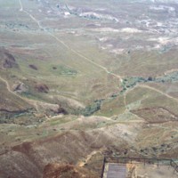
Seen from atop Masada, a natural fortress in an otherwise wasteland, is the remains of a Roman Siege camp from AD 74. Jewish rebels took the fortress in AD 66 and held it for seven years until Romans took them by force. The rebels committed mass…
Masada: Ruins, View From Top
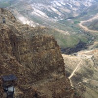
This photograph shows Masada’s natural fortification and ruins of King Herod’s Palace built in the first century BC. Because of it’s remote location and natural defenses, Masada has been mostly untouched since the first century BC. Recent…
Tags: King Herod, Masada, Roman Road, ruins
Jerusalem: Truck Chasis from 1948 War on Roadside
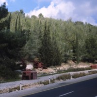
This photograph taken along the highway entering Jerusalem shows rusting truck chasis’ as a reminder of the 1948 Arab-Israeli War. Smolski writes about the dangers faced by convoys entering the city during the war in his 1980 article Glorious…
Tags: highways, Israel-Arab War, ruins
Jerusalem: Hurva Synagogue Ruins
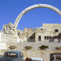
The Hurva Synagogue ruin, photographed in 1980. The synagogue was proposed in the 1840s and built between 1854 and 1864. When it was dedicated in 1864 the name given was, “Beth Ya’akov”, but it’s place on the ruins, hurva, of the old synagogue…
A Rural Kiln (5 of 5)
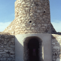
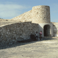
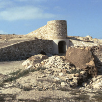
A rural kiln designed by the German geologist Matias Heine who is thought to have lived in Boa Vista during the mid 1980's. The purpose of this kiln is to bake the local "cal" or limestone more efficiently than traditional methods in order to make…
Tags: Boa Vista, kiln, Matias Heine, ruins
A Rural Kiln (4 of 5)
A rural kiln designed by the German geologist Matias Heine who is thought to have lived in Boa Vista during the mid 1980's. The purpose of this kiln is to bake the local "cal" or limestone more efficiently than traditional methods in order to make…
Tags: Boa Vista, kiln, Matias Heine, ruins
A Rural Kiln (3 of 5)
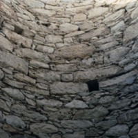
The main shaft of a rural kiln designed by the German geologist Matias Heine who is thought to have lived in Boa Vista during the mid 1980's. The purpose of this kiln is to bake the local "cal" or limestone more efficiently than traditional methods…
Tags: Boa Vista, kiln, Matias Heine, ruins
A Rural Kiln (2 of 5)
A rural kiln designed by the German geologist Matias Heine who is thought to have lived in Boa Vista during the mid 1980's. The purpose of this kiln is to bake the local "cal" or limestone more efficiently than traditional methods in order to make…
Tags: Boa Vista, kiln, Matias Heine, ruins
A Rural Kiln (1 of 5)
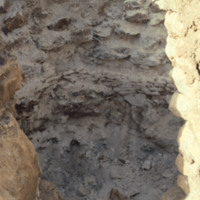
A rural kiln designed by the German geologist Matias Heine who is thought to have lived in Boa Vista during the mid 1980's. The purpose of this kiln is to bake the local "cal" or limestone more efficiently than traditional methods in order to make…
Tags: Boa Vista, kiln, Matias Heine, ruins
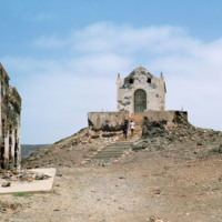
David Baxter at Chapel Ruins
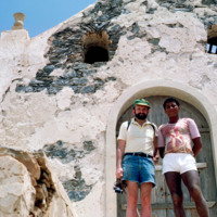
A photograph of David Baxter with an unidentified man [see Tombs in a 19th Century Cemetery] in front of the ruins of a small chapel. The chapel is located just inland from Praia de Cabral, a beach just a couple miles from Sal Rei.
Tags: Boa Vista, chapel, david baxter, portrait, religious building, ruins
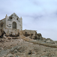
Ruins of Chapel Against Cloudy Sky
The ruins of a small chapel are photographed against a dramatic sky. These ruins on Boa Vista are located near Praia de Cabral, a beach that is within two miles of Sal Rei. Not pictured here but nearby are the ruins of a home that has a staircase…
Tags: Boa Vista, chapel, landscape, religious buildings, ruins
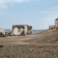
Ruins of Chapel and Home
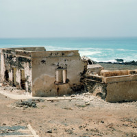
The ruins of a small chapel near Praia de Cabral, a sandy beach and cove about two miles from Sal Rei. To the left are the ruins of a home which once had steps leading down to the beach.
Tags: abandoned, Boa Vista, chape, desolation, religious buildings, ruins
