Browse Items (68 total)

  • Tags: beach

http://www.ricdigitalcommons.com/temp/1324.jpg
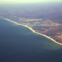
Aerial view of Rhode Islands southern shore, including Charlestown and Green Hill Beaches. Charlestown is a public beach that offers camping and recreational activities. Green Hills Beach is a private club founded in 1961.

http://www.ricdigitalcommons.com/Baxter_temp/CV-89-061.jpg
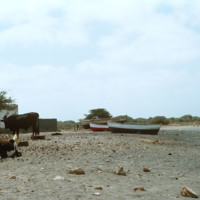
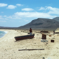
Believed to be taken near Calheta, a small village on Maio. This photo shows lifestock and children lounging on the shore along with some small fishing boats that have been dragged to shore.

http://www.ricdigitalcommons.com/Baxter_temp/CV-89-031.jpg
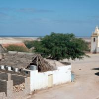
A view from the center of Vila do Maio. At the right of the frame is the Cathedral of Nossa Senhora da Luz (Our Lady of Light). Cobblestone streets are predominant in this coastal village.

http://www.ricdigitalcommons.com/Baxter_temp/CV-89-024.jpg
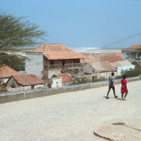
Residents walk along a cobblestone road in Vila do Maio. From this elevated point in the city the steep ascent of the village from the ocean is evident. On the horizon sits the long, flat, white sand beaches that lie just outside the village.

http://www.ricdigitalcommons.com/Baxter_temp/CV-89-018.jpg
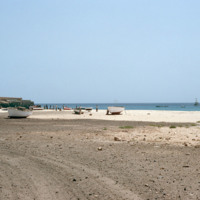
This photograph of the shoreline at Vila do Maio shows a variety of waterfront activity. In the foreground small fishing vessels are stored on the beach while larger ships can be seen just off the shore of the island. To the far right some people…

http://www.ricdigitalcommons.com/Baxter_temp/CV-89-016.jpg
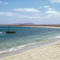
Small fishing vessels are beached nearby Vila do Maio.

http://www.ricdigitalcommons.com/Baxter_temp/CV-89-015.jpg
Small fishing vessels are beached nearby Vila do Maio.

http://www.ricdigitalcommons.com/Baxter_temp/CV-89-014.jpg
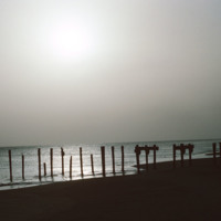
A silhouetted image of the ruins of a dock near Vila do Maio. Until the 19th century the island was a large exporter of salt that was mined on the island. Tarrifs introduced by Brazil in the 19th century, which was the principle market for the island…

http://www.ricdigitalcommons.com/Baxter_temp/CV-89-013.jpg
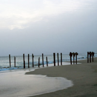
The posts of a ruined dock near the Vila do Maio.

http://www.ricdigitalcommons.com/Baxter_temp/CV-89-011.jpg
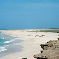
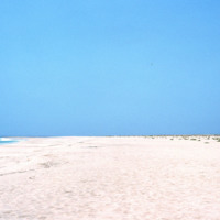
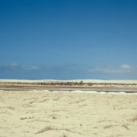
Looking away from Vila do Maio, this view shows the long flat shoreline from a beach near the islands primary settlement.

http://www.ricdigitalcommons.com/Baxter_temp/CV-89-010.jpg
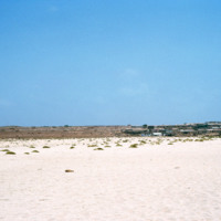
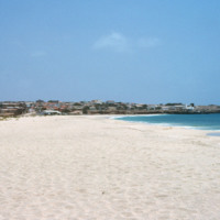
A view of Vila do Maio across the white sands of a nearby beach. This view shows how flat and dry the island is. It has been called the "forgotten island," and it's principle resource is salt, which was heavy mined and exported from the 16th to the…

http://www.ricdigitalcommons.com/Baxter_temp/CV-89-008.jpg
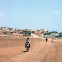
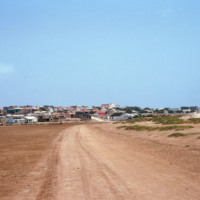
Vila do Maio photographed from a dirt road that connects the village to a nearby beach. This view shows how this village, which lies on a steep but small hill, rises dramatically from the shoreline. At the center of the village is a 19th century…

http://www.ricdigitalcommons.com/Baxter_temp/CV-89-007.jpg
Vila do Maio photographed from a dirt road that connects the village to a nearby beach. This view shows how this village, which lies on a steep but small hill, rises dramatically from the shoreline. At the center of the village is a 19th century…

http://www.ricdigitalcommons.com/Baxter_temp/CV-89-006.jpg
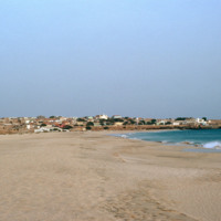
Vila do Maio photographed from a beach northwest of the village. This view shows how this village, built on a small, steep hill, rises dramatically from the shoreline. At the center of the village is a 19th century Baroque church that was completed…

http://www.ricdigitalcommons.com/Baxter_temp/CV-89-005.jpg
Vila do Maio photographed from a beach northwest of the village. This view shows how this village, built on a small, steep hill, rises dramatically from the shoreline. At the center of the village is a 19th century Baroque church that was completed…

http://www.ricdigitalcommons.com/Baxter_temp/CV-89-004.jpg
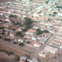
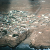
An aerial view of Vila do Maio taken from a low altitude taking during an air approach to the island. This photograph is centered around a 19th century Baroque church that was completed in 1892.

http://www.ricdigitalcommons.com/Baxter_temp/CV-89-003.jpg
An aerial view of Vila do Maio taken from a low altitude taking during an air approach to the island.

http://www.ricdigitalcommons.com/Baxter_temp/CV-88-069.jpg
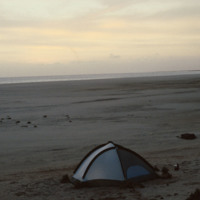
David Baxter enjoys peace and quiet outside his tent at dusk on Praia Curralinho.

http://www.ricdigitalcommons.com/Baxter_temp/CV-88-067.jpg
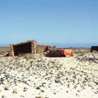
A mule used by fishermen stands on a rocky beach next to shelter.

http://www.ricdigitalcommons.com/Baxter_temp/CV-88-066.jpg
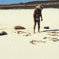
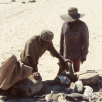
Fisherman evaluates his catch on a beach in Boa Vista.

http://www.ricdigitalcommons.com/Baxter_temp/CV-88-065.jpg
Fishermen evaluate their catch on a beach in Boa Vista.

http://www.ricdigitalcommons.com/Baxter_temp/CV-88-064.jpg
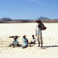
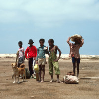
Fisherman and three children sit on a beach in Boa Vista.

http://www.ricdigitalcommons.com/Baxter_temp/CV-88-063.jpg
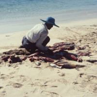
Fisherman kneels among his catch on a beach in Boa Vista.

http://www.ricdigitalcommons.com/Baxter_temp/CV-88-053.jpg
A family spends time near a beach on Boa Vista.

http://www.ricdigitalcommons.com/Baxter_temp/CV-88-030.jpg
Ilha de Sal-Rei, an islet located just 1 km west of Sal Rei, Boa Vista is a small relatively deserted area. Although little remnants remain, the islet is known as the site of the fort of the Duque de Bragan

http://www.ricdigitalcommons.com/Baxter_temp/CV-88-019.jpg
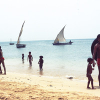
Cape Verdeans on a beach in Sal Rei. Several small boats are seen in the waters close to shore as well as the Port of Sal Rei to the far left.
http://www.ricdigitalcommons.com/Baxter_temp/CV-88-018.jpg
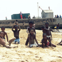
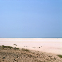
Boys on a beach by Port of Sal Rei pose for a photograph by David Baxter.
http://www.ricdigitalcommons.com/Baxter_temp/CV-88-005.jpg
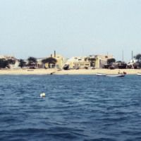
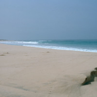
This photo was take off shore from Sal Rei, the principal city on Boavista. Homes can be seen lining the beach as well as beached vessels.

http://www.ricdigitalcommons.com/Baxter_temp/CV-85-065.jpg
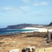
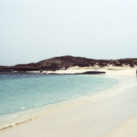
Another view of Praia Santa Monica with rocky mountains visible in the distance.

This beach, also known as Praia Curralinho is one of ten beaches on the island of Boa Vista. The beach itself is seldom used by people due to underpopulation and the…

http://www.ricdigitalcommons.com/Baxter_temp/CV-85-064.jpg
This photo is taken farther back towards the land portion of Praia Santa Monica.

This beach, also known as Praia Curralinho is one of ten beaches on the island of Boa Vista. The beach itself is seldom used by people due to underpopulation and the…

http://www.ricdigitalcommons.com/Baxter_temp/CV-85-063.jpg
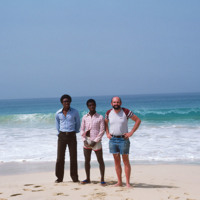
Three visitors of Praia Santa Monica stand near the shoreline looking out to sea.

Praia Santa Monica, also known as Praia Curralinho is one of ten beaches on the island of Boa Vista. The beach itself is seldom used by people due to underpopulation…

http://www.ricdigitalcommons.com/Baxter_temp/CV-85-062.jpg
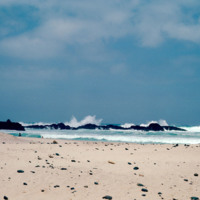
Praia Santa Monica, also known as Praia Curralinho is one of ten beaches on the island of Boa Vista. The beach itself is seldom used by people due to underpopulation and the desert area. Instead, the beach is a protected area for turtles laying their…

http://www.ricdigitalcommons.com/Baxter_temp/CV-85-061.jpg
Praia Santa Monica, also known as Praia Curralinho is one of ten beaches on the island of Boa Vista. The beach itself is seldom used by people due to underpopulation and the desert area. Instead, the beach is a protected area for turtles laying their…

http://www.ricdigitalcommons.com/Baxter_temp/CV-85-048.jpg
The ruins of a home at Praia de Cabral, a beach located about 2 miles from Sal Rei. The home is connected to a stair case that leads to the beach. Nearby are the ruins of a small chapel.

http://www.ricdigitalcommons.com/Baxter_temp/CV-85-039.jpg
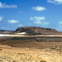
A desolate area "behind" Praia Cabral, a beach about two miles from Sal Rei.

http://www.ricdigitalcommons.com/Baxter_temp/CV-85-038.jpg
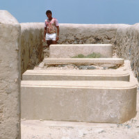
Nineteenth century tombs in a cemetery near Praia de Cabral. The graves belong to the Ben'Oliel family and the daughter of Charles Pettingall, an English diplomat.

http://www.ricdigitalcommons.com/Baxter_temp/CV-85-036.jpg
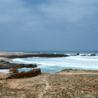
A rocky view of Praia de Cabral, a beach located about two miles from Sal Rei. In the distance people can be seen enjoying the white sands of this beach, which features a cove created by a natural rock wall.

http://www.ricdigitalcommons.com/Baxter_temp/CV-85-035.jpg
Boa Vista is a large, relatively flat island of dunes and oases. Its rocky and shallow coastline has been cruel to sailors and has caused many shipwrecks. This photograph of Praia de Crabral, a beach located about two miles from the town Sal Rei,…

http://www.ricdigitalcommons.com/Baxter_temp/CV-85-034.jpg
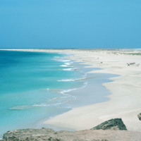
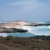
A view of a cove at Praia de Cabral, a beach located about two miles from Sal Rei. A natural rock wall creates a a small, natural cove.

http://www.ricdigitalcommons.com/Baxter_temp/CV-85-033.jpg
A small cove at Praia de Cabral, a beach located about two miles from Sal Rei, Boa Vista. The island of Boa Vista has 55 km of beaches and a flat island of dunes and oases, sparsely populated and with few natural resources.

http://www.ricdigitalcommons.com/Baxter_temp/CV-85-032.jpg
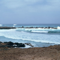
This photo shows the rocky, yet stunning shoreline of Praia de Cabral. Waves crash up against a natural rock wall in the distance. Cabral Beach has become one of Boa Vista's most popular beaches and tourist attractions. The beach is home to a hotel…

http://www.ricdigitalcommons.com/Baxter_temp/CV-85-031.jpg
David Baxter poses with fishermen along the coast of Praia de Cabral ("Cabral Beach").

http://www.ricdigitalcommons.com/Baxter_temp/CV-85-030.jpg
Cabral Beach has become one of Boa Vista's most popular beaches and tourist attractions. The beach is home to a hotel as well as a small Jewish cemetery. Additionally, Praia de Cabral has been the site of an annual music festival, which features Cape…

http://www.ricdigitalcommons.com/Baxter_temp/CV-85-029.jpg
The striking waters of Praia de Cabral ("Cabral Beach") are clearly visible here. Cabral Beach is one of Boa Vista's most popular beaches and tourist attractions. The beach is home to a hotel as well as a small Jewish cemetery. Additionally, Praia de…

http://www.ricdigitalcommons.com/Baxter_temp/CV-85-026.jpg
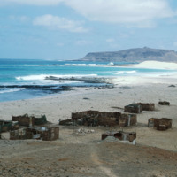
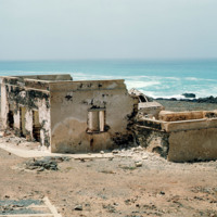
This photo shows several worn down and abandoned structures along the beach of Praia de Cabral.

http://www.ricdigitalcommons.com/Baxter_temp/CV-85-025.jpg
Praia de Cabral is a beautiful beach located just a short walking distance from the city of Sal Rei. The beach attracts many tourists each year and is continuously growing in popularity. In 2011, the city approved a new resort to be built on the…

http://www.ricdigitalcommons.com/Baxter_temp/CV-85-024.jpg
A small group of five unidentified children pose for a photo along the short trip from Sal Rei to Praia de Cabral ("Cabral Beach"). The beach is located a mere 1 to 2 miles away from the city.
http://www.ricdigitalcommons.com/Baxter_temp/CV-85-023.jpg
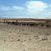
A large group of goats are being herded along the coast of Praia de Cabral ("Cabral Beach").

http://www.ricdigitalcommons.com/Baxter_temp/CV-85-022.jpg
This photo was taken walking from Sal Rei to Praia de Cabral ("Cabral Beach"). This beautiful beach is located just 1 to 2 miles from the city and is a popular tourist attraction.
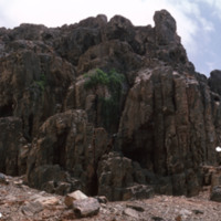
In the right of this photo there appears to be a sporting net and…

http://www.ricdigitalcommons.com/Baxter_temp/CV-85-021.jpg
This photo was taken walking from Sal Rei to Praia de Cabral ("Cabral Beach"). This beautiful beach is located just 1 to 2 miles from the city and is a popular tourist attraction.
Output Formats

atom, dcmes-xml, json, omeka-xml, rss2