Browse Items (36 total)

  • Tags: shore

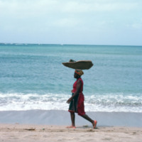
http://www.ricdigitalcommons.com/Baxter_temp/CV-89-062.jpg
An unidentified woman transports goods by balancing them on her head. She is on a shore near Calheta, a small village on Maio.

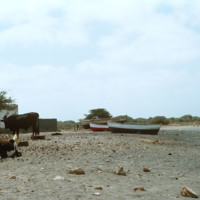
http://www.ricdigitalcommons.com/Baxter_temp/CV-89-061.jpg
Believed to be taken near Calheta, a small village on Maio. This photo shows lifestock and children lounging on the shore along with some small fishing boats that have been dragged to shore.

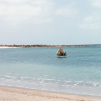
http://www.ricdigitalcommons.com/Baxter_temp/CV-89-060.jpg
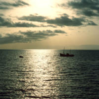
A fishing boat near the shore of Maio. This photo is believed to be taken from somewhere near Calheta.

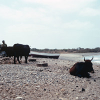
http://www.ricdigitalcommons.com/Baxter_temp/CV-89-059.jpg
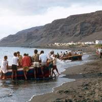
Villagers and livestock attend to duties near the shore. This photo is believed to be taken at or near the village Calheta.

http://www.ricdigitalcommons.com/Baxter_temp/CV-89-016.jpg
Small fishing vessels are beached nearby Vila do Maio.

http://www.ricdigitalcommons.com/Baxter_temp/CV-89-015.jpg
Small fishing vessels are beached nearby Vila do Maio.

http://www.ricdigitalcommons.com/Baxter_temp/CV-89-001.jpg
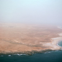
An east facing aerial view of Maio photographed from above Vila do Maio.

http://www.ricdigitalcommons.com/Baxter_temp/CV-88-004.jpg
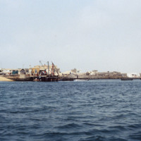
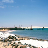
A seascape view of Sal Rei including a small dock that extends into the Atlantic Ocean. A team of dock workers can be seen unloading cargo from a small craft at the dock.

http://www.ricdigitalcommons.com/Baxter_temp/CV-88-003.jpg
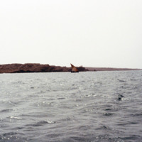
Taken on the North Atlantic Ocean, this photo includes a small sailboat in the distance and some rocky mountains of Sal Rei in the distance.

http://www.ricdigitalcommons.com/Baxter_temp/CV-85-010.jpg
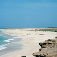
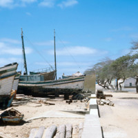
This photo shows several boats pulled ashore, almost to the street line.

http://www.ricdigitalcommons.com/Baxter_temp/CV-85-006.jpg
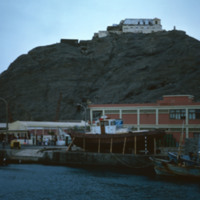
This picture was taken along the coast of Sal Rei looking towards a dock filled with a small crowd of people. It is possible that the boat on the opposite side of the dock has returned from a fishing venture and people have gathered to help unload…

http://www.ricdigitalcommons.com/Baxter_temp/CV-83-001.jpg
An aerial view of São Vicente.

http://www.ricdigitalcommons.com/Baxter_temp/CV-81-358.jpg
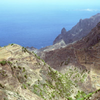
Some vegetation dots the side of this mountainous region of Brava. Most of Brava is a large tableland elevated from a steep coastline. There are also some peaks that jut out of the tableland, such as this photograph shows.

http://www.ricdigitalcommons.com/Baxter_temp/CV-81-351.jpg
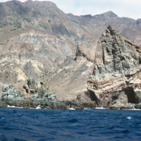
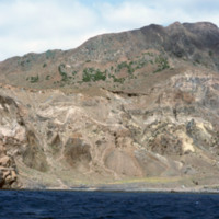
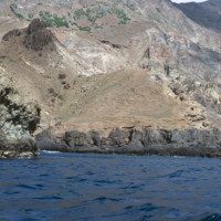
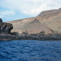
Brava's dramatic coastline photographed during a journey by small boat from Faj

http://www.ricdigitalcommons.com/Baxter_temp/CV-81-350.jpg
Brava's dramatic coastline photographed during a journey by small boat from Faj

http://www.ricdigitalcommons.com/Baxter_temp/CV-81-349.jpg
Brava's dramatic coastline photographed during a journey by small boat from Faj

http://www.ricdigitalcommons.com/Baxter_temp/CV-81-348.jpg
Brava's dramatic coastline photographed during a journey by small boat from Faj

http://www.ricdigitalcommons.com/Baxter_temp/CV-81-347.jpg
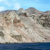
Brava's varied, but always rocky, coastline photographed during a journey by small boat from Faj

http://www.ricdigitalcommons.com/Baxter_temp/CV-81-338.jpg
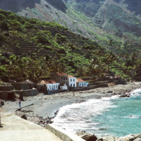
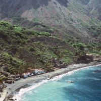
Fajã d'Água photographed from the shoreline shows the green landscape, terraced farming and close proximity of the houses to the water. Because the village lies at the foot of a steep mountain, it is sheltered from the fierce winds that are…

http://www.ricdigitalcommons.com/Baxter_temp/CV-81-337.jpg
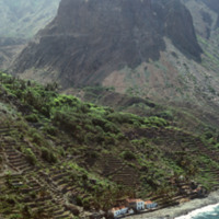
This aerial photograph of Fajã d'Água puts into perspective it's position at the foot of a steep mountain. Because of it's location it is sheltered from the northwest winds, making this little village very green and pleasant.

http://www.ricdigitalcommons.com/Baxter_temp/CV-81-336.jpg
An aerial view of Fajã d'Água, a small village at the foot of a mountain, and also one of the most beautiful bays in Cape Verde. This quiet village was once where whaling boats would anchor.

http://www.ricdigitalcommons.com/Baxter_temp/CV-81-334.jpg
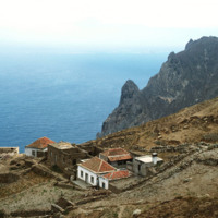
This photograph is taken near the end of a journey from Nova Sintra to Fajã d'Água via aluguer. On the horizon the Ilhéu da Areia can be seen disappearing into the haze. This photograph also gives you a good idea of how jagged and dramatic the…

http://www.ricdigitalcommons.com/Baxter_temp/CV-81-318.jpg
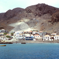
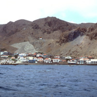
View of Furna from the harbor. This photograph was taken from a boat traveling from Fogo to Brava carrying passengers, goods and livestock.

http://www.ricdigitalcommons.com/Baxter_temp/CV-81-317.jpg
Furna, the main port on Brava, is photographed from an approaching boat carrying goods and passengers from Fogo.

http://www.ricdigitalcommons.com/Baxter_temp/CV-81-316.jpg
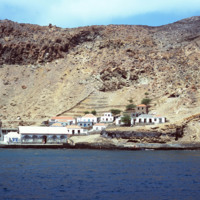
Photographed from a boat en route to Brava from Fogo is the port town of Furna. Furna lies in an extinct volcano crater, and is the main port for the island.

http://www.ricdigitalcommons.com/Baxter_temp/CV-81-274.jpg
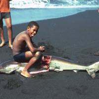
A young man guts a shark that has been caught and brought back to shore. This beach is located near São Felipe on Fogo.

http://www.ricdigitalcommons.com/Baxter_temp/CV-81-272.jpg
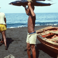
A young man on the shore of Fogo holds a fresh catch over his head. It appears that he has caught a tuna and a shark.

http://www.ricdigitalcommons.com/Baxter_temp/CV-81-271.jpg
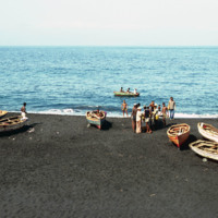
Fishermen and their vessels on the shore of a black sand beach near São Felipe. The beaches are short and quickly give way to ominous cliffs that begin the steep slope of Fogo, the volcano island.

http://www.ricdigitalcommons.com/Baxter_temp/CV-81-270.jpg
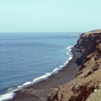
A long look across Fogo's ominous cliffs that hang over the islands black sand beaches. In the foreground some local fishing vessels have been dragged ashore, or perhaps are waiting to be launched (from the shadows in the picture this picture seems…

http://www.ricdigitalcommons.com/Baxter_temp/CV-81-233.jpg
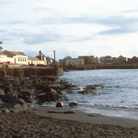
Pictured is the coastal town of Tarrafal nestled along the shoreline on the island of São Nicolau. The company SUCLA (Society of Overseas Canning) can be seen in the distance to the left.

http://www.ricdigitalcommons.com/Baxter_temp/CV-81-232.jpg
Looking west over Tarrafal Bay on São Nicolau. Fishing vessels can be seen on the bay. Tarrafal is the seat of Tarrafal de São Nicolau Municipality and it's economy is largely based on local fishing industries.

http://www.ricdigitalcommons.com/Baxter_temp/CV-81-229.jpg
Small, wooden fishing vessels are dragged back onto shore after a days work in Tarrafal. This coastal town on the western shore of São Nicolau relies largely on fishing industries to fuel it's local economy.

http://www.ricdigitalcommons.com/Baxter_temp/CV-81-110.jpg
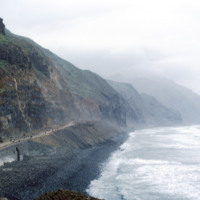
This stormy view of the northeastern coast of Santo Antão shows the high winds and heavy surf that constantly belts this region of the island. The photo is taken from a coastal road that connects Ribeira Grande to Paúl.

http://www.ricdigitalcommons.com/Baxter_temp/CV-81-108.jpg
This coastal road, on the northern coast of Santo Antão, connects the towns of Ribeira Grande and Paúl. The road is gravel and dirt, and is, as one can see in this photograph, largely used for foot traffic. The road, for much of it's lebth, is…

http://www.ricdigitalcommons.com/Baxter_temp/CV-81-010.jpg
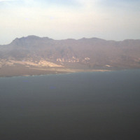
An aerial view of the shoreline on São Vicente. This island is, as you can see, very barren and rocky, and lacks a steady supply of fresh water. Outside of Mindelo, which is a large city centered around Porto Grande, the island is sparsely populated.

http://www.ricdigitalcommons.com/Baxter_temp/CV-80-216.jpg
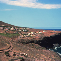
An unknown coastal village on São Nicolau.
Output Formats

atom, dcmes-xml, json, omeka-xml, rss2