Browse Items (34 total)

  • Tags: coast

http://www.ricdigitalcommons.com/Baxter_temp/CV-89-062.jpg
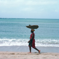
An unidentified woman transports goods by balancing them on her head. She is on a shore near Calheta, a small village on Maio.

http://www.ricdigitalcommons.com/Baxter_temp/CV-89-059.jpg
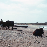
Villagers and livestock attend to duties near the shore. This photo is believed to be taken at or near the village Calheta.

http://www.ricdigitalcommons.com/Baxter_temp/CV-89-016.jpg
Small fishing vessels are beached nearby Vila do Maio.

http://www.ricdigitalcommons.com/Baxter_temp/CV-89-015.jpg
Small fishing vessels are beached nearby Vila do Maio.

http://www.ricdigitalcommons.com/Baxter_temp/CV-89-014.jpg
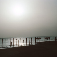
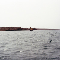
A silhouetted image of the ruins of a dock near Vila do Maio. Until the 19th century the island was a large exporter of salt that was mined on the island. Tarrifs introduced by Brazil in the 19th century, which was the principle market for the island…

http://www.ricdigitalcommons.com/Baxter_temp/CV-89-011.jpg
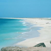
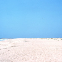
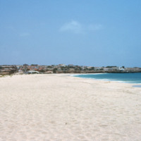
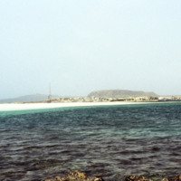
Looking away from Vila do Maio, this view shows the long flat shoreline from a beach near the islands primary settlement.

http://www.ricdigitalcommons.com/Baxter_temp/CV-89-008.jpg
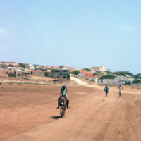
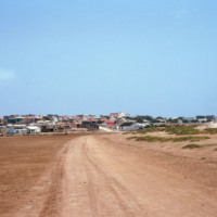
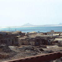
Vila do Maio photographed from a dirt road that connects the village to a nearby beach. This view shows how this village, which lies on a steep but small hill, rises dramatically from the shoreline. At the center of the village is a 19th century…

http://www.ricdigitalcommons.com/Baxter_temp/CV-89-007.jpg
Vila do Maio photographed from a dirt road that connects the village to a nearby beach. This view shows how this village, which lies on a steep but small hill, rises dramatically from the shoreline. At the center of the village is a 19th century…

http://www.ricdigitalcommons.com/Baxter_temp/CV-89-006.jpg
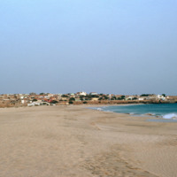
Vila do Maio photographed from a beach northwest of the village. This view shows how this village, built on a small, steep hill, rises dramatically from the shoreline. At the center of the village is a 19th century Baroque church that was completed…

http://www.ricdigitalcommons.com/Baxter_temp/CV-89-005.jpg
Vila do Maio photographed from a beach northwest of the village. This view shows how this village, built on a small, steep hill, rises dramatically from the shoreline. At the center of the village is a 19th century Baroque church that was completed…

http://www.ricdigitalcommons.com/Baxter_temp/CV-89-004.jpg
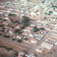
An aerial view of Vila do Maio taken from a low altitude taking during an air approach to the island. This photograph is centered around a 19th century Baroque church that was completed in 1892.

http://www.ricdigitalcommons.com/Baxter_temp/CV-89-003.jpg
An aerial view of Vila do Maio taken from a low altitude taking during an air approach to the island.

http://www.ricdigitalcommons.com/Baxter_temp/CV-89-002.jpg
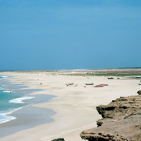
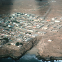
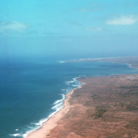
An aerial view of the western coast of Maio. This north facing view shows a beach leading away from Vila do Maio and Calheta on the horizon, center right in this photograph.

http://www.ricdigitalcommons.com/Baxter_temp/CV-88-052.jpg
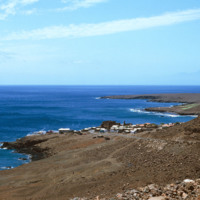
Coastal scene near the then newly constructed desalination plant built by the Danish government.

http://www.ricdigitalcommons.com/Baxter_temp/CV-88-003.jpg
Taken on the North Atlantic Ocean, this photo includes a small sailboat in the distance and some rocky mountains of Sal Rei in the distance.

http://www.ricdigitalcommons.com/Baxter_temp/CV-88-001.jpg
Sal Rei, the main settlement on the island Boavista, is seen on the horizon in this seascape photographed by David Baxter in 1988.

http://www.ricdigitalcommons.com/Baxter_temp/CV-83-040.jpg
This slide is another depiction of the coastline of Praia. The Mid-Atlantic Ocean surrounds the East, South, and Western portions of the city.

http://www.ricdigitalcommons.com/Baxter_temp/CV-83-039.jpg
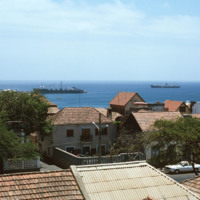
This slide, similar to CV-83-033, Docked Ships Along the Coast of Praia, was taken above street level so that the roofs of the city are exposed. Important to this city is the port, which exports goods such as coffee, tropical fruits and sugar cane.

http://www.ricdigitalcommons.com/Baxter_temp/CV-83-033.jpg
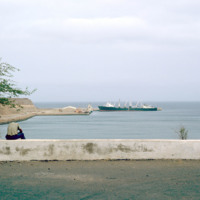
Situated along the coast of Santiago is Cape Verde's capital and largest city, Praia. The capital acts as an important port for the islands, exporting goods such as coffee, tropical fruits and sugar cane.

http://www.ricdigitalcommons.com/Baxter_temp/CV-81-351.jpg
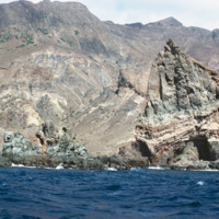
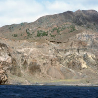
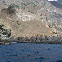
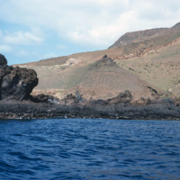
Brava's dramatic coastline photographed during a journey by small boat from Faj

http://www.ricdigitalcommons.com/Baxter_temp/CV-81-350.jpg
Brava's dramatic coastline photographed during a journey by small boat from Faj

http://www.ricdigitalcommons.com/Baxter_temp/CV-81-349.jpg
Brava's dramatic coastline photographed during a journey by small boat from Faj

http://www.ricdigitalcommons.com/Baxter_temp/CV-81-348.jpg
Brava's dramatic coastline photographed during a journey by small boat from Faj

http://www.ricdigitalcommons.com/Baxter_temp/CV-81-347.jpg
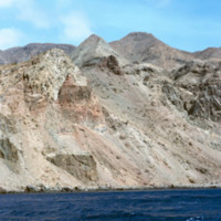
Brava's varied, but always rocky, coastline photographed during a journey by small boat from Faj

http://www.ricdigitalcommons.com/Baxter_temp/CV-81-338.jpg
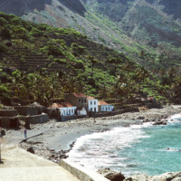
Fajã d'Água photographed from the shoreline shows the green landscape, terraced farming and close proximity of the houses to the water. Because the village lies at the foot of a steep mountain, it is sheltered from the fierce winds that are…

http://www.ricdigitalcommons.com/Baxter_temp/CV-81-337.jpg
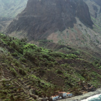
This aerial photograph of Fajã d'Água puts into perspective it's position at the foot of a steep mountain. Because of it's location it is sheltered from the northwest winds, making this little village very green and pleasant.

http://www.ricdigitalcommons.com/Baxter_temp/CV-81-336.jpg
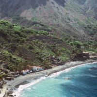
An aerial view of Fajã d'Água, a small village at the foot of a mountain, and also one of the most beautiful bays in Cape Verde. This quiet village was once where whaling boats would anchor.

http://www.ricdigitalcommons.com/Baxter_temp/CV-81-182.jpg
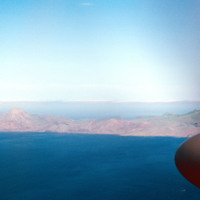
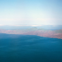
Aerial view of the coastline of São Nicolau. The green tops of the mountains provide a hint to the lush land behind them. The island has some of the most fertile land in the archipelago.

http://www.ricdigitalcommons.com/Baxter_temp/CV-81-181.jpg
Aerial view of the coastline of São Nicolau. Pictured are rocky and dry mountains descending dramatically into the ocean. The green tops of the mountains provide a hint to the lush land behind them.

http://www.ricdigitalcommons.com/Baxter_temp/CV-81-180.jpg
Aerial view of the coastline of São Nicolau. Pictured are rocky and dry mountains descending dramatically into the ocean. The islands dry and mountainous exterior presents a barrier to the lush fertile land in the center.

http://www.ricdigitalcommons.com/Baxter_temp/CV-81-117.jpg
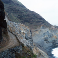
This coastal road to Paùl heading west is cut into the mountains. The mountains descend steeply into the ocean. The single-track road is paved with dirt.

http://www.ricdigitalcommons.com/Baxter_temp/CV-81-110.jpg
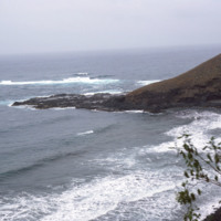
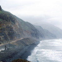
This stormy view of the northeastern coast of Santo Antão shows the high winds and heavy surf that constantly belts this region of the island. The photo is taken from a coastal road that connects Ribeira Grande to Paúl.

http://www.ricdigitalcommons.com/Baxter_temp/CV-81-108.jpg
This coastal road, on the northern coast of Santo Antão, connects the towns of Ribeira Grande and Paúl. The road is gravel and dirt, and is, as one can see in this photograph, largely used for foot traffic. The road, for much of it's lebth, is…

http://www.ricdigitalcommons.com/Baxter_temp/CV-80-216.jpg
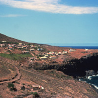
An unknown coastal village on São Nicolau.
Output Formats

atom, dcmes-xml, json, omeka-xml, rss2