Browse Items (18 total)

  • Tags: mountain

http://www.ricdigitalcommons.com/Baxter_temp/CV-83-001.jpg
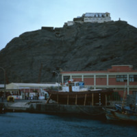
An aerial view of São Vicente.

http://www.ricdigitalcommons.com/Baxter_temp/CV-81-337.jpg
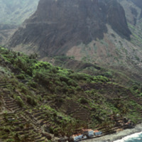
This aerial photograph of Fajã d'Água puts into perspective it's position at the foot of a steep mountain. Because of it's location it is sheltered from the northwest winds, making this little village very green and pleasant.

http://www.ricdigitalcommons.com/Baxter_temp/CV-81-327.jpg
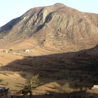
The try tableland of Brava was once green and lush, but a significant drought in the mid-twentieth century has c ontinued to effect the landscape and vegetation of the island. This photo was taken during a journey by aluguer from Nova Sintra to Fajã…

http://www.ricdigitalcommons.com/Baxter_temp/CV-81-296.jpg
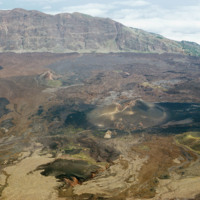
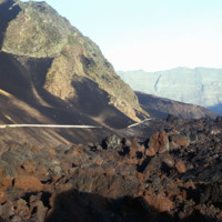
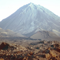
Landscape view of Pico do Fogo shows the craters and lava flow patterns, but also the steep slope of the original volcano.

http://www.ricdigitalcommons.com/Baxter_temp/CV-81-293.jpg
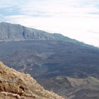
Photograph from the top of Pico do Fogo looks out into the clouds. The peak, standing at 2,829 meters, is the highest point in the Cape Verde archipelago.

http://www.ricdigitalcommons.com/Baxter_temp/CV-81-291.jpg
The slope of Pico do Fogo seen from the shadowy crater below. The voclano is still active, last erupting in 1995, an event which destroyed the nearby village of Boca Fonte and created a new peak, known simply as the 1995 peak. The Pico, standing at…

http://www.ricdigitalcommons.com/Baxter_temp/CV-81-290.jpg
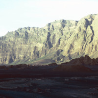
The steep slope of Pico do Fogo seen from the shadowy crater below. Pico do Fogo is an active volcano, it's last eruption was in 1995 which destroyed the village of Boca Fonte.

http://www.ricdigitalcommons.com/Baxter_temp/CV-81-289.jpg
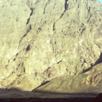
This is one of the exterior sides of Pico de Fogo. Coffee beans are planted and successfully grown around the slope terrain immediately surrounding the volcano.

http://www.ricdigitalcommons.com/Baxter_temp/CV-81-288.jpg
The Pico de Fogo is the area of highest elevation on the island of Fogo. This active volcano stands 1,200 meters high. Before this picture was taken, the volcano had erupted twice; once in 1675, and again in 1847. Since then, it has erupted once in…

http://www.ricdigitalcommons.com/Baxter_temp/CV-81-203.jpg
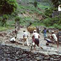
A group of workers repair a cobblestone road in Ribeira Brava, the main city on São Nicolau. The cit is known for cobblestone roads and beautiful, colorful architecture. Until the closing of a local seminary school in the early 20th century, Ribeira…

http://www.ricdigitalcommons.com/Baxter_temp/CV-81-090.jpg
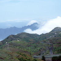
Journey to Ribeira Grande, one of the most spectacular road trips a visitor to Cape Verde can experience. In this image you can see how the mountains are stepped for farming. The island has two main peaks reaching 6,493 feet and 5,197 feet.

http://www.ricdigitalcommons.com/Baxter_temp/CV-81-087.jpg
Journey to Ribeira Grande, one of the most spectacular road trips a visitor to Cape Verde can experience. As David Baxter continues his journey to Ribeira Grande, here he is on the top of one peak and you can see the sheer drop as you look down…

http://www.ricdigitalcommons.com/Baxter_temp/CV-81-038.jpg
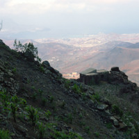
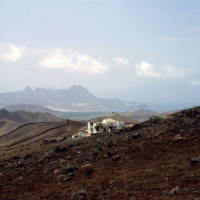
A stone dwelling on the side of Monte Verde, São Vicente's tallest peak, overlooks Mindelo and Porto Grande.

http://www.ricdigitalcommons.com/Baxter_temp/CV-81-037.jpg
View of Ribeira Calhau from Monte Verde. Following the ribeira is a road that connects Calhau and Mindelo. Calhau, a fishing village that is a popular weekend resort for tourists and residents of Mindelo.

http://www.ricdigitalcommons.com/Baxter_temp/CV-81-035.jpg
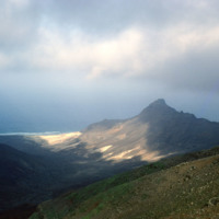
View from Monte Verde looking to the northern coast of São Vicente. Monte Verde is the highest peak on São Vicente and was home to some of the first permanent settlements on the island.

http://www.ricdigitalcommons.com/Baxter_temp/CV-81-034.jpg
The view from Monte Verde, looking west. Most of the island is as it appears here, barren, rocky and sparsely populated.

http://www.ricdigitalcommons.com/Baxter_temp/CV-81-032.jpg
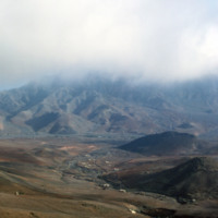
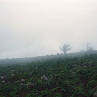
A misty landscape photographed on Monte Verde, the highest point on São Vicente.

http://www.ricdigitalcommons.com/Baxter_temp/CV-81-031.jpg
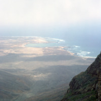
View from the top of Monte Verde to the coast of São Vicente. Mounte Verde is the highest point on São Vicente. This view, looking north/north-east shows Baía das Gatas on the horizon, a bay with a natural barrier that makes it as popular for…
Output Formats

atom, dcmes-xml, json, omeka-xml, rss2