Browse Items (26 total)

  • Tags: volcano

http://www.ricdigitalcommons.com/Baxter_temp/CV-83-026.jpg
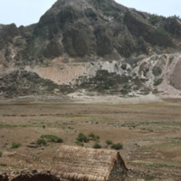
Cova is a crater that is part of an inactive volcano on the island of São Antão. A distinct feature of this high altitude micro environment is the flora that resides there. As opposed to the lush valleys below, the crater Cova boasts woody vegetation…

http://www.ricdigitalcommons.com/Baxter_temp/CV-83-025.jpg
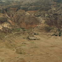
Cova is a crater that is part of an inactive volcano on the island of São Antão. A distinct feature of this high altitude micro environment is the flora that resides there. As opposed to the lush valleys below, the crater Cova boasts woody vegetation…

http://www.ricdigitalcommons.com/Baxter_temp/CV-81-308.jpg
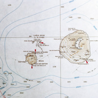
Contour map of the island, Fogo. The island, located in the Cape Verde archipelago, is mostly a large volcano, Pico do Fogo. It is laregly dormant, but has had intermittent eruptions, the last of which occurring in 1995.

http://www.ricdigitalcommons.com/Baxter_temp/CV-81-307.jpg
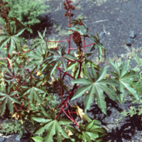
Unknown vegetation growing near Pico do Fogo. Eruptions deposit minerals in the ground that makes the soil extremely fertile.

http://www.ricdigitalcommons.com/Baxter_temp/CV-81-306.jpg
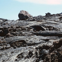
Volcanic rock from recent (as of 1981) lava flows at Pico do Fogo. Since then, this volcano has erupted once in 1995.

http://www.ricdigitalcommons.com/Baxter_temp/CV-81-305.jpg
David Baxter's guide to Pico do Fogo, a volcano on Fogo that is mostly dormant but has erupted as recently as 1995.

http://www.ricdigitalcommons.com/Baxter_temp/CV-81-304.jpg
David Baxter photographed inside Pico do Fogo, a volcano on the island of Fogo.

http://www.ricdigitalcommons.com/Baxter_temp/CV-81-303.jpg
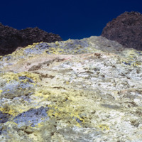
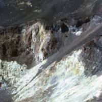
Detail of colorful rocks formed by eruption at Pico do Fogo, a dormant volcano on Fogo that's last eruption was in 1995. This photograph was made in 1981.

http://www.ricdigitalcommons.com/Baxter_temp/CV-81-300.jpg
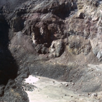
Photograph showing the inside of Pico do Fogo, at the time of this photograph, a dormant volcano. Since 1981 it has had one eruption, in 1995.

http://www.ricdigitalcommons.com/Baxter_temp/CV-81-299.jpg
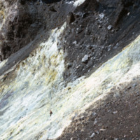
Photograph showing the inside of Pico do Fogo, at the time of this photograph, a dormant volcano. Since 1981 it has had one eruption, in 1995.

http://www.ricdigitalcommons.com/Baxter_temp/CV-81-298.jpg
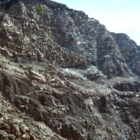
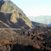
Photograph showing the inside of Pico do Fogo, at the time of this photograph, a dormant volcano. Since 1981 it has had one eruption, in 1995. There is a man in the photograph to give scale to the massive, rocky slope pictured.

http://www.ricdigitalcommons.com/Baxter_temp/CV-81-297.jpg
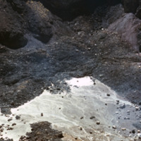
Photograph showing the inside of Pico do Fogo, at the time of this photograph, a dormant volcano. Since 1981 it has had one eruption, in 1995.

http://www.ricdigitalcommons.com/Baxter_temp/CV-81-296.jpg
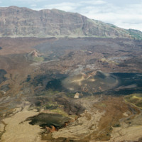
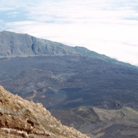
Landscape view of Pico do Fogo shows the craters and lava flow patterns, but also the steep slope of the original volcano.

http://www.ricdigitalcommons.com/Baxter_temp/CV-81-295.jpg
Looking down from Pico do Fogo to the island below, a city can be seen on the horizon [pehaps São Felipe?].

http://www.ricdigitalcommons.com/Baxter_temp/CV-81-294.jpg
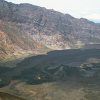
From the top of Pico do Fogo, this photograph shows the crater and lava formations around this active volcano. Pico do Fogo, at 2,829 metres is the highest point in the Cape Verde archipelago.

http://www.ricdigitalcommons.com/Baxter_temp/CV-81-293.jpg
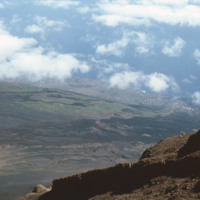
Photograph from the top of Pico do Fogo looks out into the clouds. The peak, standing at 2,829 meters, is the highest point in the Cape Verde archipelago.

http://www.ricdigitalcommons.com/Baxter_temp/CV-81-290.jpg
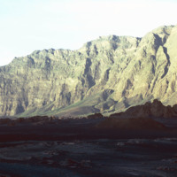
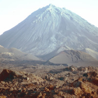
The steep slope of Pico do Fogo seen from the shadowy crater below. Pico do Fogo is an active volcano, it's last eruption was in 1995 which destroyed the village of Boca Fonte.

http://www.ricdigitalcommons.com/Baxter_temp/CV-81-289.jpg
This is one of the exterior sides of Pico de Fogo. Coffee beans are planted and successfully grown around the slope terrain immediately surrounding the volcano.

http://www.ricdigitalcommons.com/Baxter_temp/CV-81-288.jpg
The Pico de Fogo is the area of highest elevation on the island of Fogo. This active volcano stands 1,200 meters high. Before this picture was taken, the volcano had erupted twice; once in 1675, and again in 1847. Since then, it has erupted once in…

http://www.ricdigitalcommons.com/Baxter_temp/CV-81-287.jpg
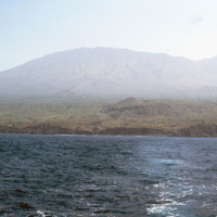
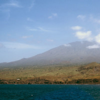
Pico do Fogo, the highest point in Cape Verde, and most of the island Fogo, photographed here from offshore.

http://www.ricdigitalcommons.com/Baxter_temp/CV-81-286.jpg
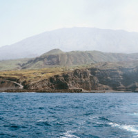
Porto de Vale de Cavaleiros photographed from offshore. On the horizon Pico do Fogo extends into the sky.

http://www.ricdigitalcommons.com/Baxter_temp/CV-81-285.jpg
Photographed from offshore, the isle of Fogo with it's 2,829 meter Pico do Fogo extending into the cloud. This is the highest point in Cape Verde.

http://www.ricdigitalcommons.com/Baxter_temp/CV-81-262.jpg
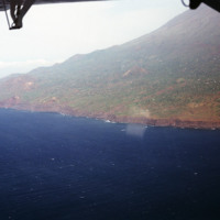
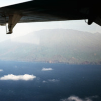
An aerial view of Fogo shows vegetation and settlements on the slope of the volcano. This photograph was made in 1981. In 1995 an eruption caused all the residents of the island to be evacuated as many the homes were destroyed.

http://www.ricdigitalcommons.com/Baxter_temp/CV-81-261.jpg
An aerial view of Fogo, a an almost perfectly round island containing one large, active volcano. Pico do Fogo, the volcano itself, is the highest point in Cape Verde. The last erruption to date (2012) was in 1995. This photograph was made in 1981.

http://www.ricdigitalcommons.com/Baxter_temp/CV-81-260.jpg
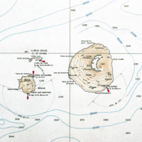
A contour map of the islands Fogo and Brava, a detail from a larger map showing the entire Cape Verde archipelago. Note the contour of Fogo, which contains Pico do Fogo, the highest point in Cape Verde, and active volcano.
Output Formats

atom, dcmes-xml, json, omeka-xml, rss2