Dublin Core
Title
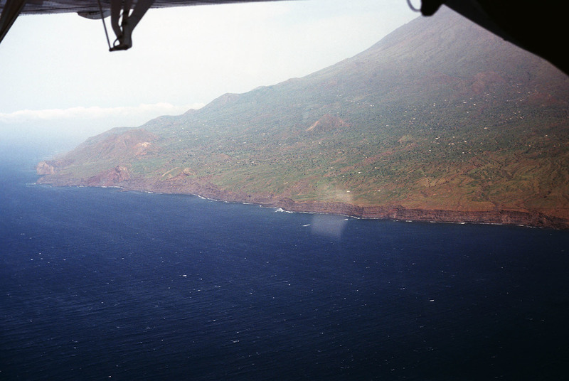
Fogo, Aerial View
Description
An aerial view of Fogo shows vegetation and settlements on the slope of the volcano. This photograph was made in 1981. In 1995 an eruption caused all the residents of the island to be evacuated as many the homes were destroyed.
Creator
David Baxter
Source
Irwin, Aisling and Wilson, Colum. Cape Verde Islands: The Brandt Travel Guide. (Guilford, 2001) pp. 170-171
Date
1981
Rights
Rhode Island College
Format
Photograph
Identifier
CV81262
Baxter Image Item Type Metadata
Slide ID
CV-81-262
Island
Fogo
Date Scanned
May 14, 2012
