Dublin Core
Title
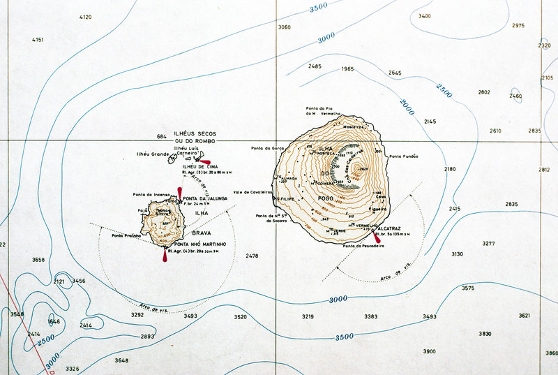
Map of Fogo and Brava
Description
A contour map of the islands Fogo and Brava, a detail from a larger map showing the entire Cape Verde archipelago. Note the contour of Fogo, which contains Pico do Fogo, the highest point in Cape Verde, and active volcano.
Creator
David Baxter
Source
Irwin, Aisling and Wilson, Colum. Cape Verde Islands: The Brandt Travel Guide. (Guilford, 2001) pp. 170-171
Date
1981
Rights
Rhode Island College
Format
Photograph
Identifier
CV81260
Baxter Image Item Type Metadata
Slide ID
CV-81-260
Island
Fogo & Brava
Date Scanned
May 14, 2012
