Browse Items (33 total)

  • Tags: mountains

http://www.ricdigitalcommons.com/Baxter_temp/CV-88-119.jpg
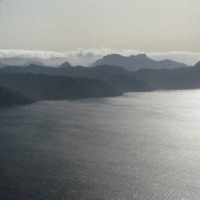
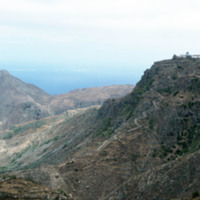
An aerial photograph of a mountainous region approaching the island of Sao Vicente.

http://www.ricdigitalcommons.com/Baxter_temp/CV-85-065.jpg
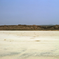
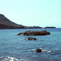
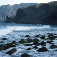
Another view of Praia Santa Monica with rocky mountains visible in the distance.

This beach, also known as Praia Curralinho is one of ten beaches on the island of Boa Vista. The beach itself is seldom used by people due to underpopulation and the…

http://www.ricdigitalcommons.com/Baxter_temp/CV-81-358.jpg
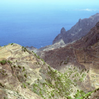
Some vegetation dots the side of this mountainous region of Brava. Most of Brava is a large tableland elevated from a steep coastline. There are also some peaks that jut out of the tableland, such as this photograph shows.

http://www.ricdigitalcommons.com/Baxter_temp/CV-81-357.jpg
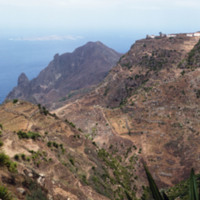
A long elevated view of Brava's landscape shows one of the more mountainous sections of the island, most of which is an elevated by relatively flat tableland. On the horizon Ilhéu da Areia, a small islet north of Fajã d'Água, can be seen through the…

http://www.ricdigitalcommons.com/Baxter_temp/CV-81-355.jpg
A dirt road winds up the steep mountainous terrain of Brava to a small, unidentified, village.

http://www.ricdigitalcommons.com/Baxter_temp/CV-81-354.jpg
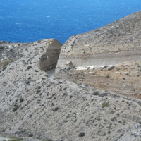
A coastal road cut into the mountainous terrain of Brava.

http://www.ricdigitalcommons.com/Baxter_temp/CV-81-347.jpg
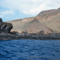
Brava's varied, but always rocky, coastline photographed during a journey by small boat from Faj

http://www.ricdigitalcommons.com/Baxter_temp/CV-81-344.jpg
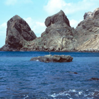
Some large rocks jut out of the harbor at Fajã d'Água. The step and mountainous coastline surround this small village protects it from northwestern winds, creating this calm, quiet harbor.

http://www.ricdigitalcommons.com/Baxter_temp/CV-81-343.jpg
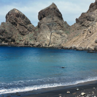
The steep mountains that protect Fajã d'Água from the strong northwestern winds that sweep across Brava.

http://www.ricdigitalcommons.com/Baxter_temp/CV-81-339.jpg
Fajã d'Água harbor was once a harbor for whaling boats but is now a quiet, placid waterfront protected from northwestern winds by step mountains.

http://www.ricdigitalcommons.com/Baxter_temp/CV-81-332.jpg
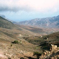
The tableland of Brava is photographed during a journey between Nova Sintra and Fajã d'Água. The high elevation of the islands interior is evidenced by the clouds.

http://www.ricdigitalcommons.com/Baxter_temp/CV-81-329.jpg
Photograph taken during an overland journey between Nova Sintra and Fajã d'Água. Rising into the mist is Monte Fontainhas, at 977 m it is the highest point on Brava.

http://www.ricdigitalcommons.com/Baxter_temp/CV-81-328.jpg
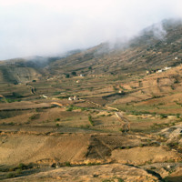
Photo of the dry, central tableland taken during an overland journey from Nova Sintra to Fajã d'Água.

http://www.ricdigitalcommons.com/Baxter_temp/CV-81-229.jpg
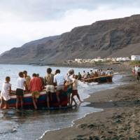
Small, wooden fishing vessels are dragged back onto shore after a days work in Tarrafal. This coastal town on the western shore of São Nicolau relies largely on fishing industries to fuel it's local economy.

http://www.ricdigitalcommons.com/Baxter_temp/CV-81-205.jpg
A bird's eye view of the São Nicolau highlands above Ribera Brava.

http://www.ricdigitalcommons.com/Baxter_temp/CV-81-204.jpg
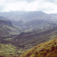
Pictured are the São Nicolau highlands above the Riberia / Panja region. Small communities can be seen settled in the distance.

http://www.ricdigitalcommons.com/Baxter_temp/CV-81-185.jpg
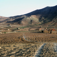
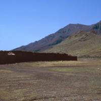
A dilapidated stone structure set in the flatlands near mountains. The structure is adjacent to the airport in Rio Brava. The more modern stone structures represent the artistry and handiwork of the craftsmen who built them.

http://www.ricdigitalcommons.com/Baxter_temp/CV-81-182.jpg
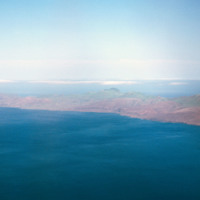
Aerial view of the coastline of São Nicolau. The green tops of the mountains provide a hint to the lush land behind them. The island has some of the most fertile land in the archipelago.

http://www.ricdigitalcommons.com/Baxter_temp/CV-81-181.jpg
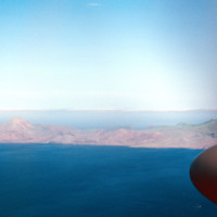
Aerial view of the coastline of São Nicolau. Pictured are rocky and dry mountains descending dramatically into the ocean. The green tops of the mountains provide a hint to the lush land behind them.

http://www.ricdigitalcommons.com/Baxter_temp/CV-81-180.jpg
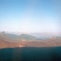
Aerial view of the coastline of São Nicolau. Pictured are rocky and dry mountains descending dramatically into the ocean. The islands dry and mountainous exterior presents a barrier to the lush fertile land in the center.

http://www.ricdigitalcommons.com/Baxter_temp/CV-81-152.jpg
The coastline of Santo Antoão is rocky and jagged. At some points the mountains descend directly to the coastline, as seen here.

http://www.ricdigitalcommons.com/Baxter_temp/CV-81-151.jpg
A view of the mountainous coastline around Paùl. Craggy mountains descend into the sea and cliffs are visible. The picture shows how striking and rugged the coastline can be. Slide CV-81-159 shows the same section of coastline at less of a…

http://www.ricdigitalcommons.com/Baxter_temp/CV-81-145.jpg
Another view of John Peter Santos' home on Cape Verde.

http://www.ricdigitalcommons.com/Baxter_temp/CV-81-144.jpg
Photo of John Peter Santos' Fornalha, Paùl home in Cape Verde. Mr. Santos is known to many Cape Verdeans in America. Before his death on August 10, 2007, he dedicated his life in trying to improve the standards of life, health and welfare for the…

http://www.ricdigitalcommons.com/Baxter_temp/CV-81-137.jpg
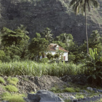
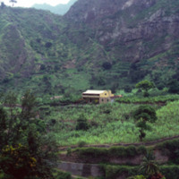
A picture from along the Ribiera do Paùl portraying a house and a terraced agricultural landscape set against a mountainous backdrop. The land is the most fertile in Cape Verde. It is likely a sugarcane farm. Volcanic dust is extracted from this…

http://www.ricdigitalcommons.com/Baxter_temp/CV-81-123.jpg
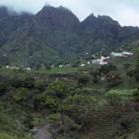
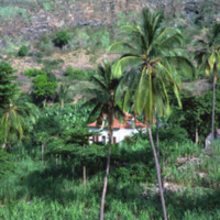
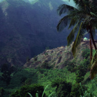
The peaks lining the Ribiera do Paùl. It shows a group of homes built into the side of the mountains. This area is often compared to the landscape of Hawaii. It is very green and the land is composed of a good deal of volcanic residue.

http://www.ricdigitalcommons.com/Baxter_temp/CV-81-122.jpg
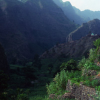
The peaks lining the Ribeira do Paùl. It shows terraces built into the side of the mountains. This area is often compared to the landscape of Hawaii. It is very green and the land is composed of a good deal of volcanic residue. Volcanic dust is…

http://www.ricdigitalcommons.com/Baxter_temp/CV-81-121.jpg
An alternate view of the village pictured in the previous slide. The mountains begin rising directly from the ocean and crest in foggy peaks. The mountains appear to have black soil because much of the land is made up of volcanic rock.

http://www.ricdigitalcommons.com/Baxter_temp/CV-81-120.jpg
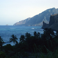
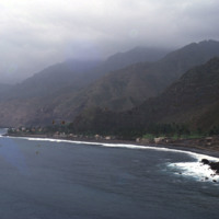
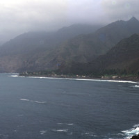
A view of a bay and seaside settlements. The mountains begin rising directly from the ocean and crest in foggy peaks. The mountains appear to have black soil because much of the land is made up of volcanic rock.

http://www.ricdigitalcommons.com/Baxter_temp/CV-81-117.jpg
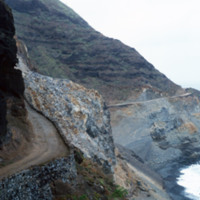
This coastal road to Paùl heading west is cut into the mountains. The mountains descend steeply into the ocean. The single-track road is paved with dirt.

http://www.ricdigitalcommons.com/Baxter_temp/CV-81-107.jpg
Road to Paùl, now much improved, was once inaccessible. Today there is a modern new road built on the edge of the cliffs offering a path to the interior of the island.

http://www.ricdigitalcommons.com/Baxter_temp/CV-81-040.jpg
A view from atop Monte Verde, São Vicente's tallest point.

http://www.ricdigitalcommons.com/Baxter_temp/CV-81-033.jpg
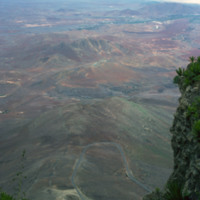
The view from Monte Verde shows the barren landscape of São Vicente. The island, which has few natural resources, is sparsely populated outside of Mindelo, one of the largest Cape Verde cities and the cultural capital of the country. Over ninety-two…
Output Formats

atom, dcmes-xml, json, omeka-xml, rss2