Browse Items (20 total)

  • Tags: Paùl

http://www.ricdigitalcommons.com/Baxter_temp/CV-83-032.jpg
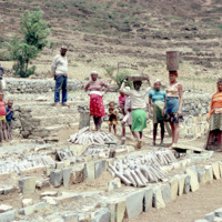
Inhabitants of Paul lay the framework for the agricultural system seen in the two previous slides. The main economy in this area is agriculture due to the fact that vegetation flourishes even in seasons of drought.

http://www.ricdigitalcommons.com/Baxter_temp/CV-83-031.jpg
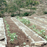
Pictured are planted rows of crops on the municipality of Paul. The area is known for its nutrient rich land that gives rise to a diverse range of crops, the most prominent being corn.

http://www.ricdigitalcommons.com/Baxter_temp/CV-83-030.jpg
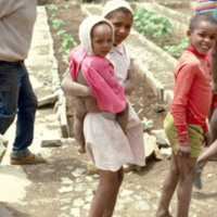
Children stand amidst rows of planted crops.

http://www.ricdigitalcommons.com/Baxter_temp/CV-83-029.jpg
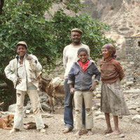
An unidentified family stands ready for their portrait to be taken in the municipality of Paul.

http://www.ricdigitalcommons.com/Baxter_temp/CV-81-153.jpg
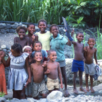
A dozen children pictured by a stone pond. In the background is what appears to be some of the irrigation infrastructure of a farm. The children are between the ages of 5 and 12.

http://www.ricdigitalcommons.com/Baxter_temp/CV-81-151.jpg
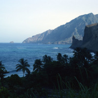
A view of the mountainous coastline around Paùl. Craggy mountains descend into the sea and cliffs are visible. The picture shows how striking and rugged the coastline can be. Slide CV-81-159 shows the same section of coastline at less of a…

http://www.ricdigitalcommons.com/Baxter_temp/CV-81-148.jpg
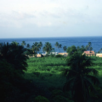
A cluster of houses set against the coast of Santo Antão. The rugged coastline of Paùl is quite striking with its mountains descending to the sea. Palm trees are also visible around the village.

http://www.ricdigitalcommons.com/Baxter_temp/CV-81-146.jpg
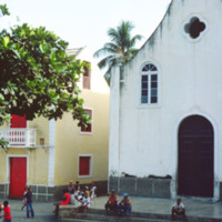
One of many churches on the island of Cape Verde. The religions of the island are Roman Catholic and Protestant. Roman Catholicism makes up over 90% of the population, but has no state religion as there is a separation of church and state.

http://www.ricdigitalcommons.com/Baxter_temp/CV-81-145.jpg
Another view of John Peter Santos' home on Cape Verde.

http://www.ricdigitalcommons.com/Baxter_temp/CV-81-144.jpg
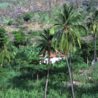
Photo of John Peter Santos' Fornalha, Paùl home in Cape Verde. Mr. Santos is known to many Cape Verdeans in America. Before his death on August 10, 2007, he dedicated his life in trying to improve the standards of life, health and welfare for the…

http://www.ricdigitalcommons.com/Baxter_temp/CV-81-143.jpg
Another example of terraced landscapes. The terracing is a means of soil conservation since the island has relatively low rainfall. Clothes are spread out on rocks to dry.

http://www.ricdigitalcommons.com/Baxter_temp/CV-81-140.jpg
A glimpse of the daily life in Ribeira de Paül. In dry areas, there are a few forms of livestock farming with small scale being the most common and widespread. Livestock farming is highly dependent on animal feed and accounts for a large portion of…

http://www.ricdigitalcommons.com/Baxter_temp/CV-81-139.jpg
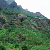
A shot of a cliff side plantation in Ribeira de Paùl. This shows the severity of the shear cliff faces on this island, the various houses on the land and the terraced farming that is commonplace in this area.

http://www.ricdigitalcommons.com/Baxter_temp/CV-81-128.jpg
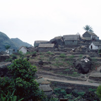
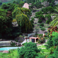
A view from a distance of the interior yard of a home. Walls with terraced farm plot, homes rise behind the home. Three homes are visible that have been built into the gradation of the mountain. The picture shows how the planning of this area has…

http://www.ricdigitalcommons.com/Baxter_temp/CV-81-125.jpg
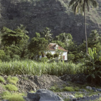
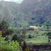
This is one of the sugar cane estate located on the lush landscape of Paùl. Water in this valley town flows in streams throughout the year providing the area with rich vegetation.

http://www.ricdigitalcommons.com/Baxter_temp/CV-81-110.jpg
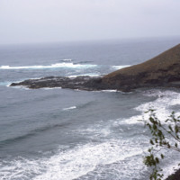
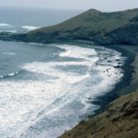
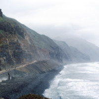
This stormy view of the northeastern coast of Santo Antão shows the high winds and heavy surf that constantly belts this region of the island. The photo is taken from a coastal road that connects Ribeira Grande to Paúl.

http://www.ricdigitalcommons.com/Baxter_temp/CV-81-109.jpg
Looking east on a coastal road that connects the small town of Paúl to Ribeira Grande. This area of the island is known for it's rough surf and high winds.

http://www.ricdigitalcommons.com/Baxter_temp/CV-81-108.jpg
This coastal road, on the northern coast of Santo Antão, connects the towns of Ribeira Grande and Paúl. The road is gravel and dirt, and is, as one can see in this photograph, largely used for foot traffic. The road, for much of it's lebth, is…

http://www.ricdigitalcommons.com/Baxter_temp/CV-81-107.jpg
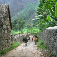
Road to Paùl, now much improved, was once inaccessible. Today there is a modern new road built on the edge of the cliffs offering a path to the interior of the island.
Output Formats

atom, dcmes-xml, json, omeka-xml, rss2