Browse Items (20 total)

  • Tags: skyline

http://www.ricdigitalcommons.com/temp/4971.jpg
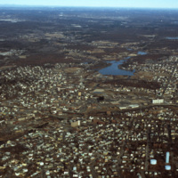
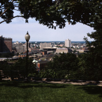
Downtown Woonsocket in 1979, featuring a view of Harris Pond and the Blackstone River. The Oak Hill Cemetery and the World War II Veterans Memorial Park can also be seen from the photo. Around the time this photo was taken, Woonsocket became the host…

http://www.ricdigitalcommons.com/temp/4950.jpg
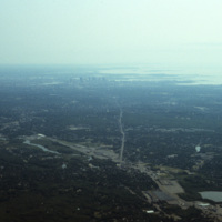
An aerial photo showing the skyline of the city Boston and the cloudy Quincy Bay to its right.

http://www.ricdigitalcommons.com/temp/5042.jpg
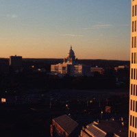
Downtown Providence featuring the Rhode Island State House at the center. The Rhode Island State House was built in 1904, designed by McKim, Mead & White. The building's self-supporting marble dome is the fourth-largest of its kind in the world,…

4978.jpg
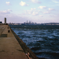
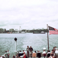
A view of downtown Providence from the city pier, across the Providence River.

http://www.ricdigitalcommons.com/temp/4970.jpg
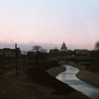
The Moshassuck River in Providence near the Rhode Island State House.

http://www.ricdigitalcommons.com/temp/5191.jpg
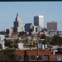
Providence, Rhode Island is the site of 27 high-rises, 16 of which stand taller than 175 feet (53 m). The tallest skyscraper in the city is the Industrial Trust Building (1928), which rises 428 feet (130 m). Due to the what is dubbed the Providence…

http://www.ricdigitalcommons.com/temp/1273.jpg
Photographed from Milkwakee Bay, this photograph shows the Milwaukee skyline as it was in 1962. Conspicuously absent are the sky scrapers that now dominate the skyline, which would be built in the following decades.

http://www.ricdigitalcommons.com/temp/0975.jpg
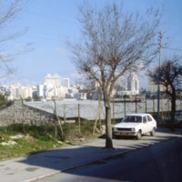
This photograph looks toward the New City district of Jerusalem. In contrast to the historical and religiously significant architecture of the old city, the New City’s skyline is ripe with modernist architecture and skyscrapers in the international…

http://www.ricdigitalcommons.com/temp/0826.jpg
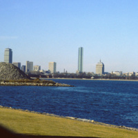
Located on Columbia Point, this is the view of Boston from the John F. Kennedy Presidential Library. Before being redeveloped the site had been a garbage dump. In this view of the Boston skyline are notable skyscrapers (left to right) The Prudential…

http://www.ricdigitalcommons.com/temp/0823.jpg
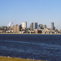
The Boston skyline is photographed from The John F. Kennedy Presidential Library at Columbia Point in this 1987 photograph. In 1963 Kennedy chose Boston as the location of his Presidential Library because he felt the other Presidential Libraries…

http://www.ricdigitalcommons.com/temp/0592.jpg
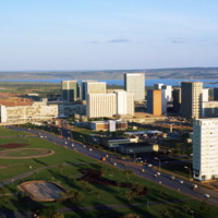
This photograph faces south east across Brasilia’s Monumental Access. The photograph was taken from the TV Tower. Prominent in the left middle ground is the Praça dos Aposentados, a housing complex for retired persons. Just behind that is the…

http://www.ricdigitalcommons.com/temp/0587.jpg
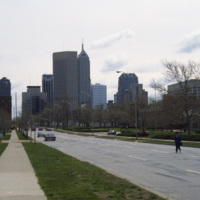
This east facing view down W New York St. shows the Indianapolis’ skyline rising up from the flat midwestern landscape. The state’s two tallest buildings, the Chase Tower and the One America Tower are pictured in the center.

http://www.ricdigitalcommons.com/temp/0579.jpg
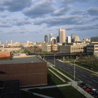
The Indianapolis skyline as seen from Indiana University - Purdue University Indianapolis. The campus serves both universities as an urban campus in Indianapolis. This photo was likely taken from University Place Hotel and shows the IUPUI conference…

http://www.ricdigitalcommons.com/temp/0551.jpg
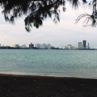
The Miami skyline as seen from Key Biscayne in 1978. At the right are some of Miami’s most famous skyscrappers, including th SunTrust International Center, completed in 1973, and One Biscayne Tower, a symbol of the city, completed in 1972. At the…

http://www.ricdigitalcommons.com/temp/0497.jpg
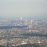
Aerial photograph showing Manhattan and Brooklyn looking West towards the city. This image shows the New York skyline as it was known from the late 1960s until the attack on the World Trade Center in 2001.

http://www.ricdigitalcommons.com/temp/0433.jpg
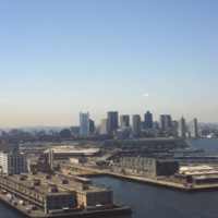
  Boston’s downtown skyline and harbor are picture here in 1979. Boston harbor has been a hub for the shipping industry for centuries, beginning in the late 1600s with the boom of ship building in the colonies. 

http://www.ricdigitalcommons.com/temp/5207.jpg
View looking west from Prospect Terrace Park. Cathedral Sq., Providence City Hall, and the Providence Biltmore appear on the left side of the photo. In the center of the photo are the yellow brick Union Station buildings and the old train tracks to…

5192.jpg
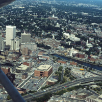
Aerial view of Providence downtown area. Among America’s oldest cities, Providence has a special sense of place. Like its contemporaries, it has been built and rebuilt many times. Development, however, has not resulted in wholesale destruction and…

http://www.ricdigitalcommons.com/temp/5182.jpg
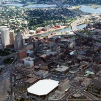
Aerial of downtown, I-195, and the Providence River. The building at Old Stone Square and Fleet Center are in the early stages of construction in this photo.

http://www.ricdigitalcommons.com/temp/5167.jpg
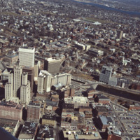
Aerial showing the old Financial District with new additions including the building at Old Stone Square (Edward Larrabee Barnes, 1984), 50 Kennedy Plaza (a.k.a. Fleet Center, Helmut, Obata & Kassebaum, 1985), One Financial Plaza (a.k.a Soveign…
Output Formats

atom, dcmes-xml, json, omeka-xml, rss2