Browse Items (48 total)

  • Tags: city planning

5211.jpg
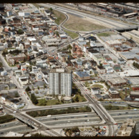
The Federal Hill neighborhood is home to approximately 8,000 residents and has been the traditional center of Rhode Island

5122.jpg
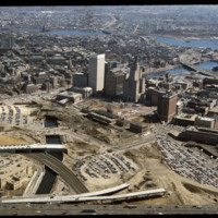
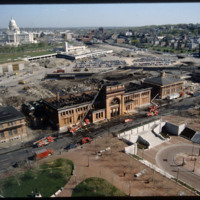
This image shows the transformation of Capital Center in progress. Francis Street construction is complete up until the over-passed train tracks and the bridge over the Woonasquatucket River. The former train tracks have been removed, but the land…

http://www.ricdigitalcommons.com/temp/4882.jpg
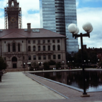
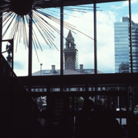
On Main St. in Worcester, Massachusetts, is Worcester City Hall with its notable clock tower.

Worcester City Hall, completed in 1898, features aspects of the Italianate Renaissance Revival style, such as projecting porches, window balconies, and…

http://www.ricdigitalcommons.com/temp/4879.jpg
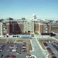
Worcester City Hall photographed from an office building at 120 Front Street.

Worcester City Hall opened in 1898, and features aspects of the Italianate Renaissance Revival style, such as its projecting porches, window balconies, and grand central…

http://www.ricdigitalcommons.com/temp/5053.jpg
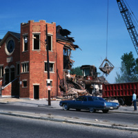
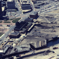
The Randall Square synagogue was demolished as part of a large land clearing in order to make room for light manufacturing, commercial development, and the Marriott Hotel.

http://www.ricdigitalcommons.com/temp/5051.jpg
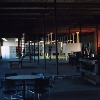
The interior of the Moshassuck Arcade. The building was part of the Bay State Mill, which was part of a complex including the American Screw Company. Many of the surrounding buildings in the complex were destroyed by fire in 1971. The Moshassuck…

http://www.ricdigitalcommons.com/temp/5049.jpg
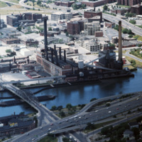
The Narragansett Electric Lighting Company had buildings on Eddy St. (pictured) and on Manchester St. They were once connected by an overhead conveyor belt, but no longer are. The Eddy St. building is no longer active as a power plant, and was…

http://www.ricdigitalcommons.com/temp/4906.jpg
The Providence River separates the Downtown and East Side neighborhoods of Providence. The East Side is home to Brown University, and Rhode Island School of Design. Roger Williams founded Providence along College Hill, thus the East Side contains…

http://www.ricdigitalcommons.com/temp/4865.jpg
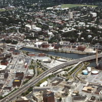
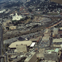
This 1970s view of Providence shows how the former route of Interstate 195, along with the railroad yard behind Union Station, isolated downtown Providence from the surrounding neighborhoods.

http://www.ricdigitalcommons.com/temp/5226.jpg
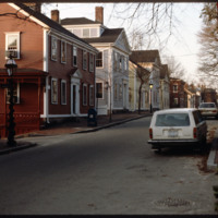
Historic houses on northern Benefit Street. Benefit Street runs north to south of the community’s 18th century center at Market Square. in the late 1950s, many of the houses on this street were about to be torn down but were saved, thanks to the…

http://www.ricdigitalcommons.com/temp/5174.jpg
Future location of the neo-Traditionalist Rhode Island Convention Center (1 Sabin St., 1994) and Westin Hotel and Residences (1993, 2007). Woodward praises the Convention Center for performing acrobatics over the existing street plan as well as its…

http://www.ricdigitalcommons.com/temp/5173.jpg
The Weybosset Hill area is bounded by Empire St. on the east, Broad and Washington Streets on the south and north, and Interstate 95 on the west. Redevelopment of this area stemmed from a 1959 recommendation of the City Plan Commission's master plan…

http://www.ricdigitalcommons.com/temp/5168.jpg
Providence's first railroad station was Union Railroad Depot, a brick edifice built in 1847 and designed by Thomas A. Tefft for the Providence and Worcester, Providence and Stonington, and Boston and Providence Railroads. This building was lost to…

http://www.ricdigitalcommons.com/temp/5153.jpg
In 1986 Providence Station was completed. It replaced the 1898 Union Station as part of a redevelopment project to free up land from a mass of train tracks that had hemmed in downtown Providence. It is much smaller than its predecessor, reflecting…

http://www.ricdigitalcommons.com/temp/5150.jpg
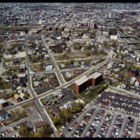
Blighted area in Upper South Providence near Rhode Island Hospital. In-fill housing eventually filled much of the vacant land.

http://www.ricdigitalcommons.com/temp/5136.jpg
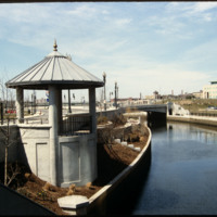
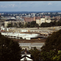
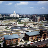
Rhode Island State House, Providence Station, Waterplace Park, Union Station as seen from the Providence Biltmore Hotel. Waterplace Park and the Riverwalk linked to it have a welcoming, well-thought-out design, which has become a focal point of the…

http://www.ricdigitalcommons.com/temp/5135.jpg
This image shows the transformation of Capital Center in progress. Francis Street construction is complete up until the over-passed train tracks and the bridge over the Woonasquatucket River. The former train tracks have been removed, but the land…

http://www.ricdigitalcommons.com/temp/5118.jpg
Manchester Street Power Station (1904) is a Georgian power house located on 12 acres in Providence, Rhode Island. It produces enough electricity to power about 112,000 homes, using natural gas as its fuel. Manchester Street consists of three…

http://www.ricdigitalcommons.com/temp/5115.jpg
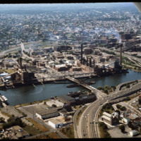
Aerial view of Interstate 95, new train tracks, the Charles Street area in the city’s North End (including the U.S. Post Office by Maguire and Associates, 1960), and the East Side.

http://www.ricdigitalcommons.com/temp/5128.jpg
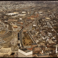
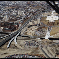
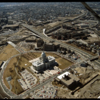
In this 1987 view the newly constructed Francis Street approach to the State House is complete thru the future intersection with Memorial Blvd. Interstate 95 separates Providence's West Side from downtown. The Foundry Building is on the left side of…

http://www.ricdigitalcommons.com/temp/1269.jpg
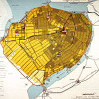
This map of Eastern Flevoland is from the 1960s and may be used in reference to images from the Smolski collection photographed in 1960. See Smolski Images: Irrigation of wheat Northeast Polder Netherlands; Netherlands: Sluice Gates on Enclosure Dam…

http://www.ricdigitalcommons.com/temp/1259.jpg
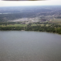
This aerial photograph looks south across Madison Wisconsin from above Lake Mendota. The high rise, modernist structures at the left of the image facilitate the Motor Vehicles Division, while the smoke stack and cluster of buildings to the right are…

http://www.ricdigitalcommons.com/temp/1075.jpg
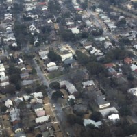
With a 2010 census of 120,083 people, Charleston is South Carolina’s second largest city. Also known as The Holy City, Charleston is known for its religious tolerance as many Huguenots have settled here. This neighborhood lies on the peninsula formed…

http://www.ricdigitalcommons.com/temp/1037.jpg
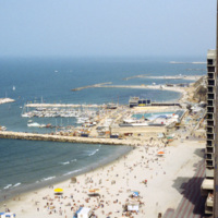
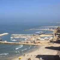
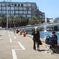
The Tel Aviv Beach was developed into a resort after it’s economic potential was realized by Mayor Dizengoff in the 1930s. Originally the development was to follow the Gruenblatt plan, which followed the Geddes plan for the city, but planned to…

http://www.ricdigitalcommons.com/temp/0895.jpg
The Tel Aviv Beach was developed into a resort after it’s economic potential was realized by Mayor Dizengoff in the 1930s. Originally the development was to follow the Gruenblatt plan, which followed the Geddes plan for the city, but planned to…

http://www.ricdigitalcommons.com/temp/0889.jpg
As early as 1945 Yaacov Ben Sera, city engineer, was suggesting a transformation of Machei Israel Square into the civic heart of Tel Aviv. This 1980 photograph shows the City Hall and the Yigal Tumakrin’s 1975 memorial to the Holocaust, located in…

http://www.ricdigitalcommons.com/temp/0888.jpg
Proposed by city engineer Yaacov Ben Sera in 1945, Machei Israel Square was transformed over two decades from a place of recreation to the civic heart of modern Tel Aviv. This photograph show’s the plaza and Menahem Cohen’s city hall. The city hall…

http://www.ricdigitalcommons.com/temp/0887.jpg
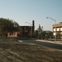
Following Israel’s independence concrete tenement houses were quickly constructed to accommodate large numbers of refugee’s living in ma’abarot, refugee tent camps. This 1980 photograph of Machei Israel Square also shows some of these modernist…
http://www.ricdigitalcommons.com/temp/0851.jpg
In this picture, more representations of Bauhaus architecture can be seen. This image was most likely taken in Tel Aviv’s White City, which consists of more than 5,000 of these types of buildings. The fact that Bauhaus architecture focuses mainly on…

http://www.ricdigitalcommons.com/temp/0849.jpg
Shown in this picture is the Bauhaus architecture of Tel Aviv. This was introduced to the city during the 1920s and 1930s by German architects who moved to Palestine after the Nazi generation expanded. Bauhaus is a German modernist style of…

http://www.ricdigitalcommons.com/temp/0846.jpg
Being the second most populated city in Israel, Tel Aviv is home to a population of 404,400. Early architecture composed of single-story European-style buildings with tiled red roofs. The 1920s brought on a different style to homes that were designed…

http://www.ricdigitalcommons.com/temp/0591.jpg
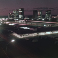
This south facing view of Brasilia looks across the ‘wings’ of the city into the planned residential neighborhoods. The modernist architecture, designed by Oscar Niemeyer, dominates the city. In the foreground of the photograph is a subway station…

http://www.ricdigitalcommons.com/temp/0590.jpg
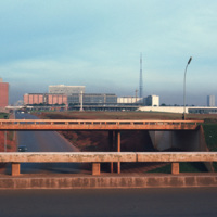
Looking west down Brasilia’s Monumental Axis Smolski capture’s an array of modernist architecture. Of note, to the left is Correios, the national headquarters for Brazil’s postal service. Prominent in the center right of the photograph is Brasilia’s…
http://www.ricdigitalcommons.com/temp/0450.jpg
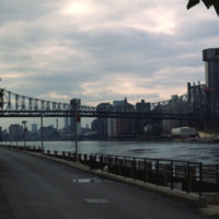
  Roosevelt Island is located between Manhattan and Queens in the East River. The Queensboro Bridge crosses over the island, pictured at the left of the photo. Roosevelt Island has had many names over the years and once served as grounds for a state…

http://www.ricdigitalcommons.com/temp/0413.jpg
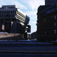
  Boston City Hall is the centerpiece of Government Center which consists of both commercial and civic buildings. Construction began on the site in 1963 and was completed in 1969. Kallman, McKinnell and Knowles designed the building. The architects…

http://www.ricdigitalcommons.com/temp/5510.jpg
The intersection of North Main and Hewes Street was the location of the Moshassuck Arcade. The building was part of the Bay State Mill, which was part of a complex including the American Screw Company. Many of the surrounding buildings in the complex…

http://www.ricdigitalcommons.com/temp/5434.jpg
Blackstone Park, located between Angel St. and the grounds of Butler hospital, lies on land donated to the city by Moses Brown Jenkins in the 1860s. It is some of the hilliest land in Providence, and thus unsuitable for residential development. The…

5192.jpg
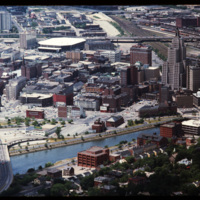
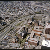
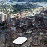
Aerial view of Providence downtown area. Among America’s oldest cities, Providence has a special sense of place. Like its contemporaries, it has been built and rebuilt many times. Development, however, has not resulted in wholesale destruction and…

http://www.ricdigitalcommons.com/temp/5182.jpg
Aerial of downtown, I-195, and the Providence River. The building at Old Stone Square and Fleet Center are in the early stages of construction in this photo.

http://www.ricdigitalcommons.com/temp/5178.jpg
Aerial view looking east over Elmhurst and Wansuck neighborhoods in northwest Providence. Providence College in the foreground, Douglas Ave., St. Patrick’s Cemetery, and the Chad Brown Housing Project (1941). Chad Brown was the first low-rent public…

http://www.ricdigitalcommons.com/temp/5170.jpg
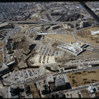
Railroad relocation was one of the core elements of the Providence Renaissance. In this aerial we can see the dirt lot where the railroad tracks were formerly located. Here we also see the burned roof of Union Station.

http://www.ricdigitalcommons.com/temp/5159.jpg
This photo shows work in progress in relocating Suicide Circle and uncovering and re-channeling the Mosshasuck and Woonasquatucket RIvers. Newly constructed Washington Street Bridge is in the foreground, but the old Fulton Street entrance to Suicide…

http://www.ricdigitalcommons.com/temp/5155.jpg
A bland review of Pruitt-Igoe subsidized housing. Photo taken from One Citizens Plaza.

http://www.ricdigitalcommons.com/temp/5134.jpg
Providence's first railroad station was Union Railroad Depot, a brick edifice built in 1847 and designed by Thomas A. Tefft for the Providence and Worcester, Providence and Stonington, and Boston and Providence Railroads. This building was lost to…

http://www.ricdigitalcommons.com/temp/5119.jpg
Designed by the architectural firm of McKim, Mead & White and constructed from 1895 to 1904. The building underwent a major renovation in the late 1990s. The building is made up of 327,000 cubic feet (9,300 m3) of white Georgia marble, 15 million…

http://www.ricdigitalcommons.com/temp/5116.jpg
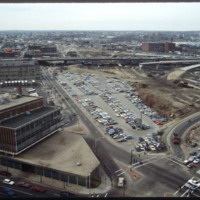
Here we see how the former Chinese Wall of train tracks had prevented the downtown development from reaching the capital. The center of the city is essentially a parking lot along the parameter of the downtown financial district. What we see is the…

1215.jpg
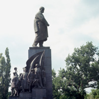
A monument in Kharkov to Ukraine’s greatest poet and artist who wrote and fought as a revolutionary democrat against serfdom and Tsarist rule. The monument is in Dzerzhinsky Square in Kharkov. A competition for the best Schevchenko monument took…
Output Formats

atom, dcmes-xml, json, omeka-xml, rss2