Browse Items (12 total)
- Tags: South Carolina
Sort by:
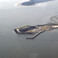
Charleston: Fort Sumter Aerial Photograph
This aerial photograph shows Fort Sumter, a historic military fortification that is best remembered as the first battle of the Civil War. Though a coastal fortification, Fort Sumter, located in Charleston Harbor, is accessible only by boat. It is now…
Tags: aerial, Fort Sumter, military, monuments, South Carolina
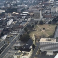
Charleston: Marion Square
The rectangular plot of land seen in the center of this aerial shot is known as Marion Square. The grounds are home to many monuments as well as the South Carolina State Arsenal, aka the Old Citadel. The tall statue to the middle left of the area is…
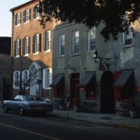
Charleston: Rainbow Row
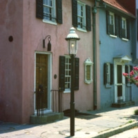
Once the center of Charleston’s commerce, these homes have since been purchased and restored by Dorothy Legge. The name “Rainbow Row” was coined with these buildings due to their wide variety of vibrant colors. These 1700s style buildings used to be…
Tags: Charleston, historical, houses, Porgy & Bess, Rainbow Row, South Carolina
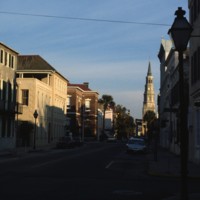
Charleston: Porgy & Bess
Adopted by Dubose Heyward, this section of Church Street is responsible for inspiring “Catfish Row” in his story “Porgy”. This story was eventually turned into the opera production “Porgy and Bess” which depicts black life in the 1920s in Charleston.…
Tags: Catfish Row, Charleston, historical, houses, Porgy & Bess, South Carolina
Charleston: Suburb Neighborhood
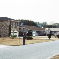
Pictured is one of the many suburban neighborhoods in Charleston. Calhoun Street, a major street running from east to west, was viewed as the major boundary separating the north suburbs from the southern urban area.
Tags: Charleston, housing, neighborhoods, South Carolina, suburbs
Charleston: Naval Base
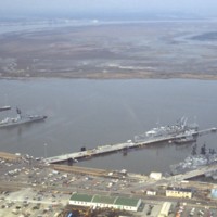
Located on the west bank of the Cooper River is Charleston’s former Naval Station. Closed down in the mid 1990s, the three miles of river front was seen as a large investment in real estate. In charge of redeveloping this $60 million dollar area…
Tags: aerial, Charleston, naval base, navy, ships, South Carolina
Charleston: Highway 26 Interchange with U.S. 17
This aerial captures the meeting of Highway 26 with U.S. 17 in downtown Charleston, South Carolina. Highway 26 consists of the major roads running horizontal to the right of the split, while U.S. 17 runs perpendicular to it and continues veering off…
Charleston: Downtown, The Fort Sumter Hotel
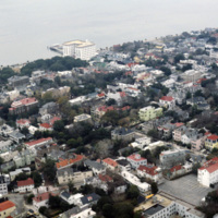
This aerial photograph of downtown Charleston shows the city’s low rise skyline along the Charleston Harbor. At the top center of the photograph is the Fort Sumter Hotel, a seven story structure that towers over the residential surroundings. Designed…
Tags: aerial, Charleston, downtown, South Carolina
Charleston: Housing
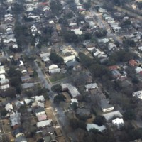
With a 2010 census of 120,083 people, Charleston is South Carolina’s second largest city. Also known as The Holy City, Charleston is known for its religious tolerance as many Huguenots have settled here. This neighborhood lies on the peninsula formed…
Tags: aerial, Charleston, city planning, dwellings, South Carolina
Charleston: Hyman’s Wholesale Co. Parking Garage
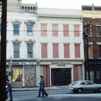
Originating in 1890, Hyman’s Wholesale Co. was established by W.M. Karesh, a Jewish immigrant. The company has been passed down from generation to generation and is now known as Hyman’s Seafood and Aaron’s Deli. In the year of 1986, the Omni hotel…
Charleston: Pink House on Chalmers St
Built at the turn of the 18th century, Charleston, South Carolina’s Pink House gets its name from the coral Bermuda stone that was used to build it. Bermuda stone is unique in that it is soft and malleable, but when exposed to outside weather, it…
Tags: Charleston, dwellings, historic, Pink House, residential, South Carolina, taverns
Parris Island, South Carolina
The entrance to the Marine Corps Recruit Depot in Parris Island, South Carolina. Training of Marine Corps recruits began here in 1915. The base has been training recruits for every major U.S. conflict of the 20th and 21st century.
Tags: Marine Corps, Parris Island, South Carolina
