Browse Items (111 total)

  • Tags: housing

5281.jpg
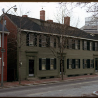
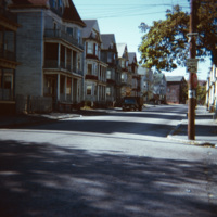
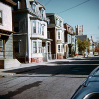
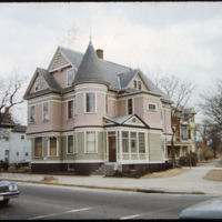
207 Morris Avenue was built by John George McIntosh in 1892, and is known as the John G. McIntosh House. McIntosh purchased the plot of land in 1887 for $10 and built his home on the East Side. The house is pictured on the left of the…

http://www.ricdigitalcommons.com/temp/4949.jpg
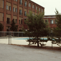
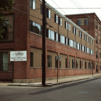
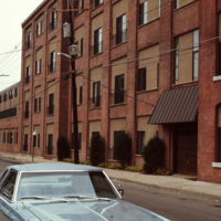
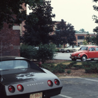
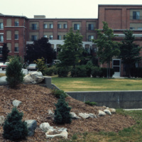
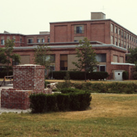
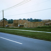
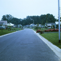
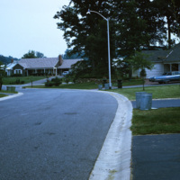
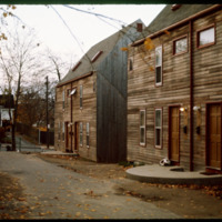
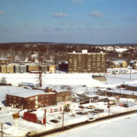
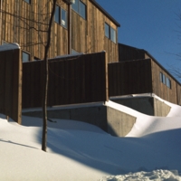
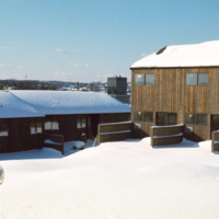
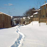
The Millhaus at Mansfield is a condominium community near downtown Mansfield, Massachusetts. Built in the early 1970s, the community exemplifies a stage of urban development in Mansfield when the town was being urbanized and community housing…

Tags: ,

http://www.ricdigitalcommons.com/temp/4948.jpg
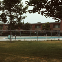
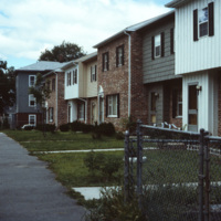
The Millhaus at Mansfield is a condominium community near downtown Mansfield, Massachusetts. Built in the early 1970s, the community exemplifies a stage of urban development in Mansfield when the town was being urbanized and community housing…

Tags: ,

http://www.ricdigitalcommons.com/temp/4947.jpg
The Millhaus at Mansfield is a condominium community near downtown Mansfield, Massachusetts. Built in the early 1970s, the community exemplifies a stage of urban development in Mansfield when the town was being urbanized and community housing…

Tags: ,

http://www.ricdigitalcommons.com/temp/4946.jpg
The Millhaus at Mansfield is a condominium community near downtown Mansfield, Massachusetts. Built in the early 1970s, the community exemplifies a stage of urban development in Mansfield when the town was being urbanized and community housing…

Tags: ,

http://www.ricdigitalcommons.com/temp/4945.jpg
The Millhaus at Mansfield is a condominium community near downtown Mansfield, Massachusetts. Built in the early 1970s, the community exemplifies a stage of urban development in Mansfield when the town was being urbanized and community housing…

http://www.ricdigitalcommons.com/temp/4944.jpg
The Millhaus at Mansfield is a condominium community near downtown Mansfield, Massachusetts. Built in the early 1970s, the community exemplifies a stage of urban development in Mansfield when the town was being urbanized and community housing…

Tags: ,

http://www.ricdigitalcommons.com/temp/4943.jpg
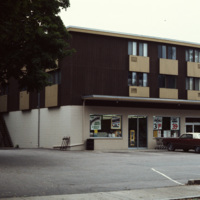
An apartment building with a convenience store on its first floor. This fusion of living and consumerism perhaps exemplifies a stage of urban development in Mansfield when the town was being urbanized and community housing encouraged.

http://www.ricdigitalcommons.com/temp/4942.jpg
The Millhaus at Mansfield is a condominium community near downtown Mansfield, Massachusetts. Built in the early 1970s, the community exemplifies a stage of urban development in Mansfield when the town was being urbanized and community housing…

Tags: ,

http://www.ricdigitalcommons.com/temp/4941.jpg
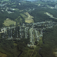
An aerial photo showing a housing subdivison located to the south of Boston, Massachusetts.

http://www.ricdigitalcommons.com/temp/4940.jpg
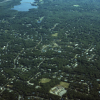
An aerial photo showing scattered housing located to the south of Boston, Massachusetts. The photo seems to overlook the town of Brockton, with Waldo Lake and Thirtyacre Pond at the top of the frame and with what is now the West Middle School at the…

http://www.ricdigitalcommons.com/temp/4938.jpg
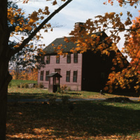
A historical saltbox house in Litchfield, Connecticut. The saltbox style is a Colonial design that originated in New England in around 1650. They are characterized by having two stories in the front of the house and only one in the back, with a small…
http://www.ricdigitalcommons.com/temp/4937.jpg
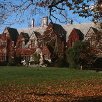
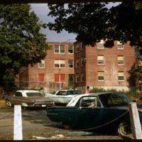
Jacob Ruppert Jr.'s private estate at Eagle's Rest, in Garrison, NY. After his death in 1939, the estate was converted into a school for at-risk children called Saint Basil Academy, opening in 1944. Long before Ruppert or the Academy, the property…

http://www.ricdigitalcommons.com/temp/4936.jpg
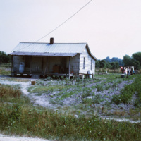
Smolski described this as being part of the "rural slums" of North Carolina. In the 1970s, rural North Carolina was poverty-stricken and held the larger populations of African-American families. This photo is an example of the economic distress and…

http://www.ricdigitalcommons.com/temp/4933.jpg
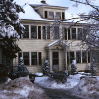
A single family home in the Blackstone neighborhood on Providence’s East Side, photographed during the winter of 1974. The East Side is the oldest, and most affluent section of Providence, containing some of the states earliest settlements.

http://www.ricdigitalcommons.com/temp/4929.jpg
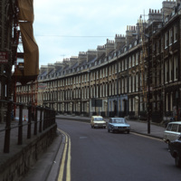
A street of Georgian townhouses in the city of Bath, in Somerset, England. The Hay Hill Baptist Church is on the left.

The layout of the city of Bath was established by John Wood the Elder from 1728 to 1775, where he and then his son, John Wood the…

http://www.ricdigitalcommons.com/temp/4928.jpg
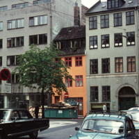
Example of a Copenhagen street scene, with a dairy shop on the far right and a wholesale agency next to it. The grey building on the far left belonged to the bicycle company Simonsen & Nielsen. The Danish movie director Jøneth Leth most likely filmed…

http://www.ricdigitalcommons.com/temp/4892.jpg
In 1954, William Levitt of Levitt & Sons, a leading residential firm, began purchasing property in Willingboro with the objective of building a residential community with few jobs and little commercial property so that the town's survival largely…

http://www.ricdigitalcommons.com/temp/4891.jpg
In 1954, William Levitt of Levitt & Sons, a leading residential firm, began purchasing property in Willingboro with the objective of building a residential community with few jobs and little commercial property so that the town's survival largely…

http://www.ricdigitalcommons.com/temp/4890.jpg
In 1954, William Levitt of Levitt & Sons, a leading residential firm, began purchasing property in Willingboro with the objective of building a residential community with few jobs and little commercial property so that the town's survival largely…

http://www.ricdigitalcommons.com/temp/4888.jpg
A residential area in Worcester, MA. An example of urban development and growth in Worcester's single family and duplex dwellings.

http://www.ricdigitalcommons.com/temp/5252.jpg
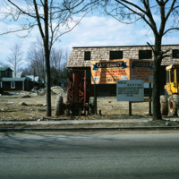
The new establishment of an apartment housing community in Taunton, MA. The sign reads: Canterburry Apartments at Taunton. An example of urban development in Massachusetts in the early 1970s.
http://www.ricdigitalcommons.com/temp/5251.jpg
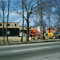
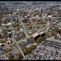
The new establishment of an apartment housing community in Taunton, MA. The sign reads: Canterburry Apartments at Taunton. An example of urban development in Massachusetts in the early 1970s.
http://www.ricdigitalcommons.com/temp/5045.jpg
Randall Sqare in the midst of its redevelopment after it was demolished in 1971 as part of a large land clearing in order to make room for light manufacturing, commercial development and the Marriott Hotel.

http://www.ricdigitalcommons.com/temp/5044.jpg
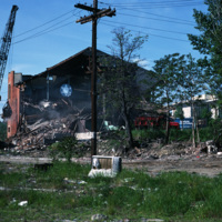
The Randall Square synagogue was demolished as part of a large land clearing in order to make room for light manufacturing, commercial development and the Marriott Hotel.

http://www.ricdigitalcommons.com/temp/5035.jpg
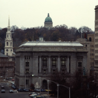
A view into the residential area of East Providence, overlooking the Federal Building and Kennedy Plaza. The First Baptist Church is on the left, and the green dome of the First Church of Christ, Scientist is rising through the skyline.

The Federal…

http://www.ricdigitalcommons.com/temp/4981.jpg
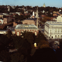
This shot overlooks the residential hills of East Providence as well as College Hill. In the middle, one can see the tower of the First Baptist Church -- to the right, the green dome of the First Church of Christ, Scientist on the horizon.

http://www.ricdigitalcommons.com/temp/4969.jpg
"Ubiquitous triple-deckers," in Providence, as noted by Professor Smolski. This area of South Providence was identified as a "blighted" neighborhood in the 1970s, and much of it, including the neighborhood in this image, has since been demolished and…

http://www.ricdigitalcommons.com/temp/4791.jpg
The Charlesgate apartment complex in Providence. The complex is now known as the Charlesgate Nursing Center. The Firehouse Greenery, which no longer exists, is also featured in the photo.

http://www.ricdigitalcommons.com/temp/5542.jpg
Triple-deckers photographed on Douglas Ave.  This photograph illustrates the architectural variety in the triple-decker style.  Most were intended for lower-income families and provided only rudimentary quarters.  These proliferated on the side of…

http://www.ricdigitalcommons.com/temp/5381.jpg
Multifamily housing on Providence’s East Side in the Mount Hope neighborhood. 

http://www.ricdigitalcommons.com/temp/5380.jpg
  Roger Williams Public Housing Development photographed in 1971.  This development was demolished in the 1980s and the was replaced in 2007 by the Williams Woods urbanist development. 

Tags: ,

http://www.ricdigitalcommons.com/temp/5374.jpg
  The Armory Historic District of Providence was added to the National Register of Historic Places in 1989. The Cranston Street Armory is visible in the background of these Wood Street houses. Houses in the area vary in style from Greek Revival,…

http://www.ricdigitalcommons.com/temp/5284.jpg
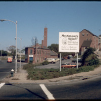
The Moshassuck Square Apartments, designed by architect William D. Warner and constructed in 1972, were a key element in the revitalization of Randall Square. The apartments are built in rows of three and four story cast-stone-trimmed brick…

http://www.ricdigitalcommons.com/temp/5150.jpg
Blighted area in Upper South Providence near Rhode Island Hospital. In-fill housing eventually filled much of the vacant land.

5121.jpg
A two and a half story house with a slate hip roof, paired gable dormers, corner turret, and stained-glass windows. This is a Queen Anne style home on Westminster Street in Providence's Armory neighborhood.

http://www.ricdigitalcommons.com/temp/1319.jpg
Named for Congressman Fernand J St. Germain, the elderly high rise was one of two new high rise structures to be built during the 1970s in Woonsocket. It was part of a greater city revitalization that developed the Social Flatlands into the new…

http://www.ricdigitalcommons.com/temp/1313.jpg
Woonsocket Village was built as part of city wide urban renewal in the 1970s. The neighborhood has 284 houses in an area that used to house 80. The housing project was built on a neighborhood in the Social Flatlands, previously it had been the Gaulin…

http://www.ricdigitalcommons.com/temp/1312.jpg
Housing in Woonsocket Village. This affordable housing project was constructed in the 1970s as part of the new Social Flatlands. The project replaced multifamily homes that and mills that had fallen into a state of disrepair since the late 19th…

http://www.ricdigitalcommons.com/temp/1310.jpg
Woonsocket under went a revitalization process in the 1970s, specifically in an area known as the Social Flatlands. This photograph shows Woonsocket Village, a housing development that replaced neighborhoods that had formerly been multiple family…

http://www.ricdigitalcommons.com/temp/1295.jpg
This photograph shows a vacant lot scheduled to be developed as part of Allentown’s Fourth Street Urban Renewal Project. The project aimed to create affordable housing for Allentown residents.

http://www.ricdigitalcommons.com/temp/1249.jpg
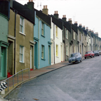
This photograph shows houses near Albion Hill in Brighton. The houses were originally made in the early 19th century of substandard material which quickly deteriorated into slums. In the 1930s redevelopment of the area began.

http://www.ricdigitalcommons.com/temp/1248.jpg
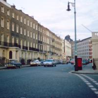
Eaton Square is actually a long narrow square west of Buckingham Palace in Belgravia, a district of Central London. Most of Belgravia was developed, under the supervision of Thomas Cubitt, when George IV commissioned the rebuilding of Buckingham…

http://www.ricdigitalcommons.com/temp/1246.jpg
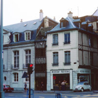
This photograph shows the density and variety of housing in Rouen, a famous and historic city in France. In the medieval period it was one of the largest cities. Today it is is the capital of the Haute-Normadie region and home to many historic sites…

http://www.ricdigitalcommons.com/temp/1244.jpg
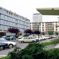
This 1973 photograph shows an habitation à loyer modéré (HLMs, English: ”housing at moderated rents”), which is similar to housing projects in the United States built around the same time. The HLM pictured is in Sarcelles, a French commune…

http://www.ricdigitalcommons.com/temp/1157.jpg
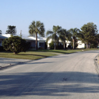
Seen here is a densely packed neighborhood in St. Petersburg, Florida. The settlement of retired folks has been observed to be in abundance for this area. Along with many declines in housing during Workd War 1, the Great Depression, and World War 2,…

http://www.ricdigitalcommons.com/temp/1089.jpg
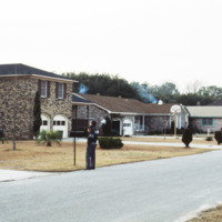
Pictured is one of the many suburban neighborhoods in Charleston. Calhoun Street, a major street running from east to west, was viewed as the major boundary separating the north suburbs from the southern urban area.

http://www.ricdigitalcommons.com/temp/1085.jpg
This aerial photograph shows housing around the borders of Charleston International Airport. The airport is a joint civil-military airport, which was privately constructed in the 1920s. During World War II the US Army began using the airport as part…

http://www.ricdigitalcommons.com/temp/0887.jpg
Following Israel’s independence concrete tenement houses were quickly constructed to accommodate large numbers of refugee’s living in ma’abarot, refugee tent camps. This 1980 photograph of Machei Israel Square also shows some of these modernist…
Output Formats

atom, dcmes-xml, json, omeka-xml, rss2