Dublin Core
Title
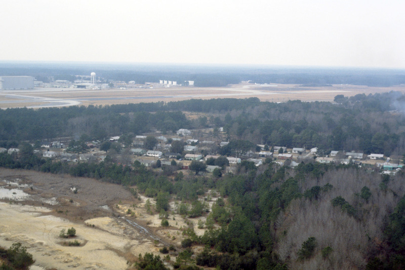
Charleston: Housing, Charleston International Airport, Aerial
Description
This aerial photograph shows housing around the borders of Charleston International Airport. The airport is a joint civil-military airport, which was privately constructed in the 1920s. During World War II the US Army began using the airport as part of the eastern defense program. The airport was acquired by Charleston county in 1979 and continues joint operations at present.
Creator
Chester Smolski
Date
1978-02-01
Rights
Rhode Island College
Format
Photograph
Photograph
Identifier
1085
Smolski Image Item Type Metadata
City
Charleston
Country
United States of America
Library of Congress Subject Headings
Airports -- South Carolina -- Charleston; Transportation -- Air Travel; Land use -- Aerial photography in land use; Neighborhood;
Region
South Carolina
