Browse Items (47 total)
- Tags: urban development
Sort by:
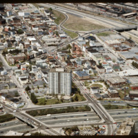
Federal Hill
The Federal Hill neighborhood is home to approximately 8,000 residents and has been the traditional center of Rhode Island
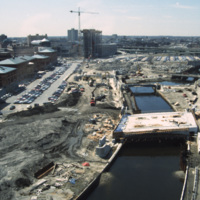
River Relocation Construction
River relocation in progress. Waterplace Park is being developed with its bridges (Exchange St., Francis St., and pedestrian walkways) built or under construction. Memorial Boulevard is for now a construction site. The Westin Hotel is being erected…
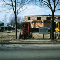
Apartments in Taunton, MA
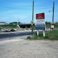
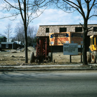
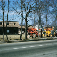
The new establishment of an apartment housing community in Taunton, MA. The sign reads: Canterburry Apartments at Taunton. An example of urban development in Massachusetts in the early 1970s.
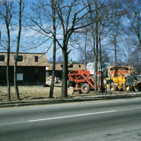
Apartments in Taunton, MA
The new establishment of an apartment housing community in Taunton, MA. The sign reads: Canterburry Apartments at Taunton. An example of urban development in Massachusetts in the early 1970s.
Redevelopment of Randall Square
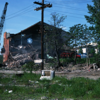
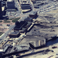
Randall Sqare in the midst of its redevelopment after it was demolished in 1971 as part of a large land clearing in order to make room for light manufacturing, commercial development and the Marriott Hotel.
Demolition of Randall Square Synagogue
The Randall Square synagogue was demolished as part of a large land clearing in order to make room for light manufacturing, commercial development and the Marriott Hotel.
Providence: Richmond St Street Scene
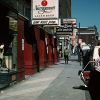
Street scene of Richmond St near the corner of Richmond St and Pine St in downtown Providence.
Construction on Weybosset St.
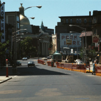
Street construction taking place on Weybosset St. in the late 1970s.
Weybosset St. is a part of the cultural core that is downtown Providence, connecting to Westminster St. and Empire St., Weybosset is home to the Providence Performing Arts Center…
Weybosset St. is a part of the cultural core that is downtown Providence, connecting to Westminster St. and Empire St., Weybosset is home to the Providence Performing Arts Center…
Chad Brown
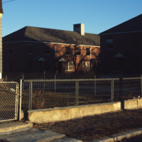
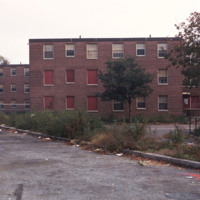
Chad Brown is a public housing complex in Wanskuck neighborhood that was built in 1951 but remodeled and renovated between 1986 and 1989.
Tags: public housing, urban development
Construction on Weybosset St
Weybosset street pictured in the late 1970s.
See also slide #4802 - Weybosset St: Loew's Theatre (PPAC) and Beneficent Church.
See also slide #4802 - Weybosset St: Loew's Theatre (PPAC) and Beneficent Church.
Kennedy Plaza Construction & Union Station
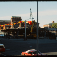
This photo was taken in 1979 and shows the deconstruction of a parking garage in front of Union Station on Exchange Terrace. Union Station was designed by Stone, Carpenter, and Willson in 1893 and constructed three years later by the New York, New…
Benefit Street, Historic Homes
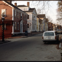
Historic houses on northern Benefit Street. Benefit Street runs north to south of the community’s 18th century center at Market Square. in the late 1950s, many of the houses on this street were about to be torn down but were saved, thanks to the…
Parking Lot, Rail Yard, Harris Ave
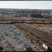
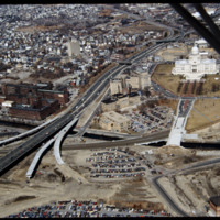
Looking west from downtown Providence, Interstate 95 runs across center frame. Parking lot in foreground is now the location of the Rhode Island Convention Center (1994) and the Westin Hotel and Residences (1993, 2007). The impressive structure at…
Hartford and Olneyville Neighborhoods
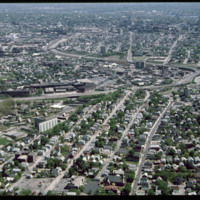
Olneyville, one of the oldest neighborhoods in Providence, is located in the central western section of the city.
Tags: aerial, Hartford, Olneyville, Providence, urban development
Future Site of Rhode Island Convention Center and Westin Hotel
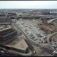
Future location of the neo-Traditionalist Rhode Island Convention Center (1 Sabin St., 1994) and Westin Hotel and Residences (1993, 2007). Woodward praises the Convention Center for performing acrobatics over the existing street plan as well as its…
Weybosset Hill and Cathedral Square
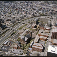
The Weybosset Hill area is bounded by Empire St. on the east, Broad and Washington Streets on the south and north, and Interstate 95 on the west. Redevelopment of this area stemmed from a 1959 recommendation of the City Plan Commission's master plan…
Old Stone Federal Savings Bank, First Unitarian Church
The Federal Building (Ammi B. Young, 1855-57, 24 Weybosset St.) is just visible to the left of this picture pointed from the financial district towards the East Side. That building was built where the edge of the Providence River and its port…
Tags: downtown, Providence, streetscape, urban development
Providence Station and Rhode Island State House
In 1986, the current Providence Station was built to replace the 1898 Union Station, as part of a redevelopment project to free up land from a mass of train tracks that had hemmed in downtown Providence. It is much smaller than its predecessor,…
Interior of Providence Train Station
Designed by Marilyn Jordan Taylor of Skidmore, Owings and Merrill, LLC, this is a typical SOM interior where all materials are falsified. The domed interior brings a sense of polite space to the public that finds its origins in the Pantheon and domed…
Construction of Providence Station
In 1986 Providence Station was completed. It replaced the 1898 Union Station as part of a redevelopment project to free up land from a mass of train tracks that had hemmed in downtown Providence. It is much smaller than its predecessor, reflecting…
Providence Capital Center with Providence Station
This image shows the transformation of Capital Center in progress. Francis Street construction is complete up until the over-passed train tracks and the bridge over the Woonasquatucket River. The former train tracks have been removed, but the land…
Jewelry Distract: Manchester Street Station and Interstate 195
Manchester Street Power Station (1904) is a Georgian power house located on 12 acres in Providence, Rhode Island. It produces enough electricity to power about 112,000 homes, using natural gas as its fuel. Manchester Street consists of three…
Providence North End and East Side: Providence Station, Post Office
Aerial view of Interstate 95, new train tracks, the Charles Street area in the city’s North End (including the U.S. Post Office by Maguire and Associates, 1960), and the East Side.
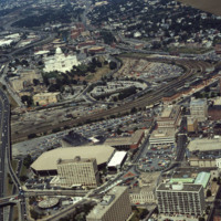
Downtown Providence: Parking Lot, Rail Yard
Prior to the construction of Waterplace Park railroad tracks and parking lots separated the different districts of downtown Providence. This barrier was locally referred to as a, "Chinese wall." This 1977 view shows Providence before its dramatic…
Capital Center and North End
In this 1987 view the newly constructed Francis Street approach to the State House is complete thru the future intersection with Memorial Blvd. Interstate 95 separates Providence's West Side from downtown. The Foundry Building is on the left side of…
Madison: Truax Barracks Public Housing, Construction
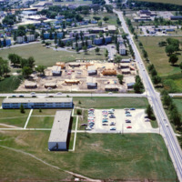
Aerial photograph of public housing under construction at Truax Barracks in Madison.
St. Petersburg Housing Development - Florida
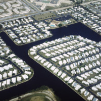
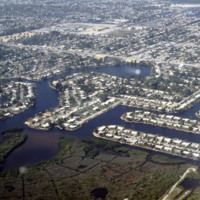
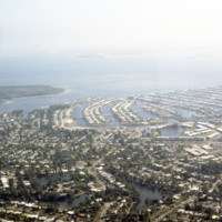
These housing developments, built on various water-ways through what can be an environmentally harmful dredging & filling process, can be found all over the coasts of St. Petersburg. Much of these neighborhoods were developed in the early 1950’s…
Florida: Downtown Saint Petersburg & Mirror Lake
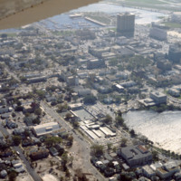
This is an aerial view of downtown Saint Petersburg, Florida in 1978. Mirror Lake can be seen in the photo as well as the harbor off in the distance, which houses the St. Petersburg Municipal Marina. Located right in front of the marina are the…
Florida: “Finger" Island Housing Developments
These housing developments, built on various water-ways through dredging & filling, can be found all over the coasts of St. Petersburg. Much of these neighborhoods were developed in the early 1950’s during a period of dredging and filling along…
Florida: Finger Islands in St. Petersburg
These housing developments, built on various water ways through a process of dredging & filling, can be found all over the coasts of St. Petersburg. Many of these neighborhoods were developed in the early 1950s along the Gulf Beaches and western…
Public Housing- Roger Williams South Providence
The Roger Williams Housing Project was built in 1943 to address housing issues for the low-income residents of Providence. The project was considered a success for the first fifteen years of its existence, with a strong residents association and…
Paul Rudolph Public Housing- New Haven
The Oriental Masonic Gardens in New Haven was a modular housing project designed by Paul Rudolph and built by Prince Hall Masons. In this project, residences were grouped in fours around a utility core. Lower modules contained living spaces, with…
Tags: Connectictut, public, urban development
Moshassuck Square
Milton Fine and Interstate Hotels Corporation developed, owned and operated the full service Providence Marriott Downtown hotel located on Orms Street. The hotel opened in 1975 with 250 rooms and was renovated in 1980 to become a 350 room hotel.
View of Fall River and Mount Hope Bay
View of Bragga Bridge and Fall River over Mt. Hope Bay. The bridge eased traffic complications between Cape Cod and Providence for only a short time. The commute from Fall River to Providence is still time consuming in rush hour traffic. The bridge…
Tags: bridges, harbor, river, traffic flow, urban development, waterfront
Canteburry Apartments: Rt. 44; Tauton 72 Units
The new establishment of an apartment housing community in Taunton, MA. The sign reads: Canterburry Apartments at Taunton. An example of urban development in Massachusetts in the early 1970s.
Housing Apartments: 72 Units
The new establishment of an apartment housing community in Taunton, MA. The sign reads: Canterburry Apartments at Taunton. An example of urban development in Massachusetts in the early 1970s.
Aerial View of RI Company Powerhouse, also known as Manchester St. Power Station
Manchester Street Power Station is located on 12 acres of land on Point Street in Providence. The Post-Modern 1990s addition was added by William D. Warner Architects & Planners. It produces enough electricity to power about 112,000 homes, using…
Tags: aerial, National Grid, power plant, urban development
Bandstand at the Casino (Roger Williams Park)
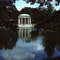
On Roosevelt Lake behind the Casino at Roger Williams Park sits the bandstand (John Hutchins Cady, 1915). According to Jordy, this classical revival structure has an “open, colonnaded Ionic rotunda as the climax of a metal-fenced, masonry platform…
Aerial of Rhode Island State House and Train Station
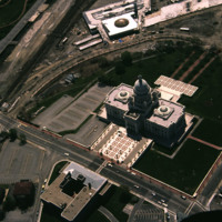
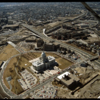
Designed by the architectural firm of McKim, Mead & White and constructed from 1895 to 1904. The building underwent a major renovation in the late 1990s. The building is made up of 327,000 cubic feet (9,300 m3) of white Georgia marble, 15 million…
Tags: aerial, state house, urban development
Aerial View of the Providence Marriott Hotel
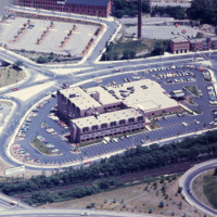
Designed by Py-Vavara Architects of Minneapolis, this photo shows the Marriott two years after completion.
Tags: hotels, Marriot Hotel, Providence, urban development
Union Station damaged by fire and excavations to the north
Providence's first railroad station was Union Railroad Depot, a brick edifice built in 1847 and designed by Thomas A. Tefft for the Providence and Worcester, Providence and Stonington, and Boston and Providence Railroads. This building was lost to…
Rhode Island State House and Providence Station
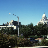
In 1986, the current Providence Station (shown here) was built to replace the 1898 station, as part of a redevelopment project to free up land from a mass of train tracks that had hemmed in downtown Providence. It is much smaller than its…
Aerial of Providence River looking north toward the city
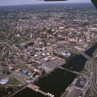
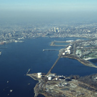
The Providence River is a tidal river that flows approximately 8 miles (13 km) from Narragansett Bay until it splits into the Woonasquatucket and Moshassuck Rivers in Providence. There are no dams along the river's length, although the Fox Point…
Tags: aerial, Providence River, rivers, urban development
Aerial of Financial District
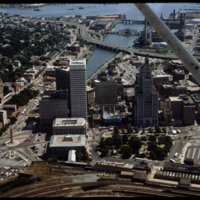
Towards the bottom of this image can be seen the so-called “Chinese Wall” that virtually separated downtown from Capital Center before the urban renaissance. Construction on Fleet Center is underway in the center, as well as Old Stone Square on South…
Aerial of Rhode Island State House, Providence Station Construction
Designed by the architectural firm of McKim, Mead & White and constructed from 1895 to 1904. The building underwent a major renovation in the late 1990s. The building is made up of 327,000 cubic feet (9,300 m3) of white Georgia marble, 15 million…
I-95, Providence Civic Center, Capital Center (1983)
Here we see how the former Chinese Wall of train tracks had prevented the downtown development from reaching the capital. The center of the city is essentially a parking lot along the parameter of the downtown financial district. What we see is the…
Derzhprom or, Gosprom, or State Industry Building
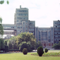
Chet Smolski describes this building as a science research building of the 1920s. This building is part of Karazin Kharkov National University. The park from which the photo was taken is called Svobody Square or Freedom Square. The building is a…
Tags: Derzhprom, Freedom Square, Gosprom, Kharkov, skyhook, Skyscraper, urban development
