Browse Items (22 total)
- Tags: urban transportation
Sort by:
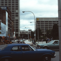
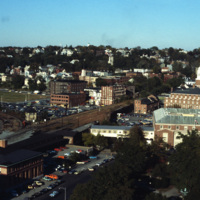
Main St. in Worcester, MA
Main St. in Worcester, Massachusetts. It connects to the Worcester Common, which is known for City Hall, the Worcester Common Oval, the Turtle Boy statue, and more. Up until 1993, the Worcester Center Galleria was also a part of the common. This view…
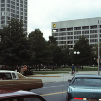
Main St. in Worcester, MA
Main St. in Worcester, Massachusetts. It connects to the Worcester Common, which is known for City Hall, the Worcester Common Oval, the Turtle Boy statue, and more. Up until 1993, the Worcester Center Galleria was also a part of the common. This view…
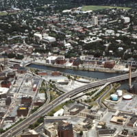
Providence: Downtown & East Side (Aerial)
The Providence River separates the Downtown and East Side neighborhoods of Providence. The East Side is home to Brown University, and Rhode Island School of Design. Roger Williams founded Providence along College Hill, thus the East Side contains…
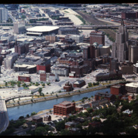
Downtown Providence: Looking West (Aerial)
This 1970s view of Providence shows how the former route of Interstate 195, along with the railroad yard behind Union Station, isolated downtown Providence from the surrounding neighborhoods.
Kennedy Plaza, Burnside Park
In the foreground are Union Station, Burnside Park and the Federal Building Annex. This view gives a sense of the separation that existed between downtown and the Capital Center prior to redevelopment in the 1980s and 1990s. On the right, the…
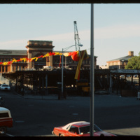
Kennedy Plaza Construction & Union Station
This photo was taken in 1979 and shows the deconstruction of a parking garage in front of Union Station on Exchange Terrace. Union Station was designed by Stone, Carpenter, and Willson in 1893 and constructed three years later by the New York, New…
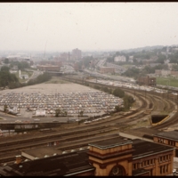
Downtown Providence: Parking Lot, Rail Yard
Prior to the construction of Waterplace Park railroad tracks and parking lots separated the different districts of downtown Providence. This barrier was locally referred to as a, "Chinese wall." This 1977 view shows Providence before its dramatic…
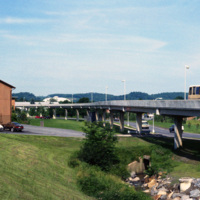
Morgantown: Personal Rapid Transit System
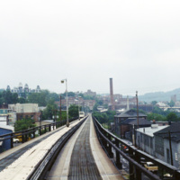
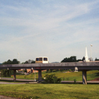
This picture shows a side view of the railway tracks for the Morgantown Personal Rapid Transit system. The entire system has a length of approximately 8.2 miles, along which 5 different stations can be found.
Morgantown: Personal Rapid Transit System
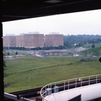
This photograph, taken from a car on the Morgantown Personal Rapid Transit system, show’s the unique tracks that the automated cars move upon. Each car is equipped with rubber wheels and receives energy and information from a rail in the center. This…
Morgantown: Personal Rapid Transit (Station, Cars)
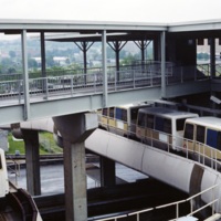
This photograph shows several stationary cars at one of the stations as part of Morgantown Personal Rapid Transit system. Each car has the capacity to hold eight people along with minor room for standees.
Morgantown: Personal Rapid Transportation (Station)
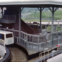
This photograph shows one of the stations on the Morgantown Personal Rapid Transit system. The system began operation in 1975 and has been running relatively smooth for over 30 years.
Morgantown: Personal Rapid Transit (Station Platform)
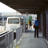
The Morgantown Personal Rapid Transit system is a unique people mover in Morgantown, West Virginia. It was built using funding from the Nixon administration.
Morgantown: Personal Rapid Transit
The Morgantown Personal Rapid Transit system connects the West Virginia Campuses and downtown Morgantown. The system opened in 1975 and was completed in 1979. While construction of the system was four times over budget, it has proved to be both…
Morgantown: West Virginia University Evansdale Campus, Personal Rapid Transit Station
Evansdale Campus is photographed from one of the stops along the Morgantown Personal Rapid Transit system. The Evansdale Campus, developed during the 1950s and 1960s, is part of West Virginia University.
Brasilia: West on Monumental Axis
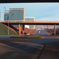
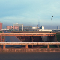
This photograph looks west on Brasilia’s Monumental Axis under the overpasses of the North and South Roads, where the bus and subway terminals are located. Smolski notes on the slide the choice to install roundabouts rather than traffic signals.
Brasilia: South Across Monumental Axis, Night
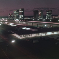
This south facing view of Brasilia looks across the ‘wings’ of the city into the planned residential neighborhoods. The modernist architecture, designed by Oscar Niemeyer, dominates the city. In the foreground of the photograph is a subway station…
Brasilia: West View on Monumental Axis
Looking west down Brasilia’s Monumental Axis Smolski capture’s an array of modernist architecture. Of note, to the left is Correios, the national headquarters for Brazil’s postal service. Prominent in the center right of the photograph is Brasilia’s…
Indianapolis: Union Station and Pan America Plaza
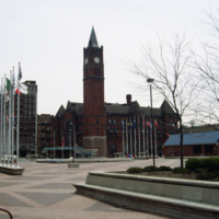
Thomas Rodd’s design of Indianapolis Union Station shows influence of noted architect Henry Hobson Richardson. Also shown here is the Pan American Plaza, built in 1987 to commemorate the Pan American Games held in town. The Union Station still serves…
Tags: architecture, plaza, urban transportation
Providence: Old Rhode Island College
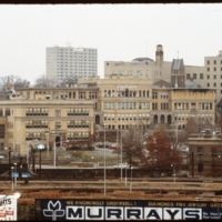
Rhode Island College, originally referred to as the Normal School, has occupied several locations and changed names throughout the years. Rhode Island College is known as one of the first teacher preparatory schools in the country. Having out-grown…
Providence
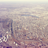
An aerial view of South Providence. This image looks west, with Allens Ave. running parallel to the bottom of the picture plane and Interstate 95 prominently curving through the center of the image.
Huntington Industrial Park, Mashapaug Pond
Huntington Industrial Park was formerly part of the West Elmwood neighborhood. The construction of Route 10 and a nation wide urban renewal movement in the mid 20th century led to the demolition of the neighborhood in favor of highway and trucking…
Interstate 95 & R.I. 146 Junction
Interstate 95 is the longest Interstate in Rhode Island. It was completed fully in 1972 and is the main highway that serves Providence. It was constructed first in Kent County and next in Providence and Pawtucket. It was finished in 1972 by…
Tags: aerial, highways, urban transportation
