Browse Items (38 total)

  • Tags: land use

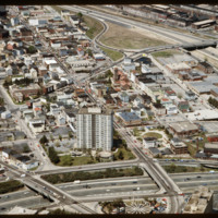
5211.jpg
The Federal Hill neighborhood is home to approximately 8,000 residents and has been the traditional center of Rhode Island

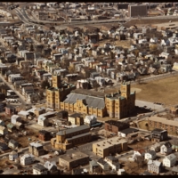
5123.jpg
Ebenezer Knight Dexter bequeathed this large parcel to the Town of Providence upon his death. In the 1840s, this was only a 10-acre tract for militia training. At the turn of the century it was supplanted by the new building seen today. It is by far…

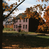
http://www.ricdigitalcommons.com/temp/4938.jpg
A historical saltbox house in Litchfield, Connecticut. The saltbox style is a Colonial design that originated in New England in around 1650. They are characterized by having two stories in the front of the house and only one in the back, with a small…

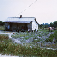
http://www.ricdigitalcommons.com/temp/4936.jpg
Smolski described this as being part of the "rural slums" of North Carolina. In the 1970s, rural North Carolina was poverty-stricken and held the larger populations of African-American families. This photo is an example of the economic distress and…

http://www.ricdigitalcommons.com/temp/5053.jpg
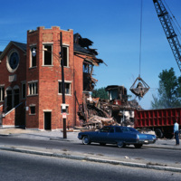
The Randall Square synagogue was demolished as part of a large land clearing in order to make room for light manufacturing, commercial development, and the Marriott Hotel.

http://www.ricdigitalcommons.com/temp/5045.jpg
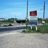
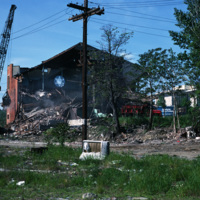
Randall Sqare in the midst of its redevelopment after it was demolished in 1971 as part of a large land clearing in order to make room for light manufacturing, commercial development and the Marriott Hotel.

http://www.ricdigitalcommons.com/temp/5044.jpg
The Randall Square synagogue was demolished as part of a large land clearing in order to make room for light manufacturing, commercial development and the Marriott Hotel.

http://www.ricdigitalcommons.com/temp/4846.jpg
In the foreground are Union Station, Burnside Park and the Federal Building Annex. This view gives a sense of the separation that existed between downtown and the Capital Center prior to redevelopment in the 1980s and 1990s. On the right, the…

http://www.ricdigitalcommons.com/temp/5226.jpg
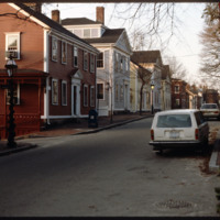
Historic houses on northern Benefit Street. Benefit Street runs north to south of the community’s 18th century center at Market Square. in the late 1950s, many of the houses on this street were about to be torn down but were saved, thanks to the…

http://www.ricdigitalcommons.com/temp/5153.jpg
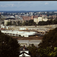
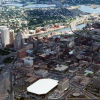
In 1986 Providence Station was completed. It replaced the 1898 Union Station as part of a redevelopment project to free up land from a mass of train tracks that had hemmed in downtown Providence. It is much smaller than its predecessor, reflecting…
http://www.ricdigitalcommons.com/temp/5139.jpg
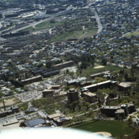
Aerial view looking west by southwest. I-95 junction with I-195. In the 2000s I-195 was relocated to the south to allow for development and to correct safety issues and that were the result of poor planning. The Providence Civic Center (Dunkin Donuts…
http://www.ricdigitalcommons.com/temp/5114.jpg
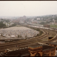
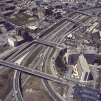
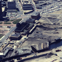
Prior to the construction of Waterplace Park railroad tracks and parking lots separated the different districts of downtown Providence. This barrier was locally referred to as a, "Chinese wall." This 1977 view shows Providence before its dramatic…
http://www.ricdigitalcommons.com/temp/1093.jpg
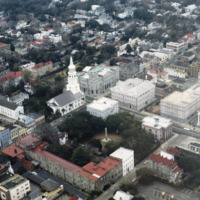
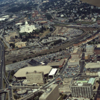
The intersection of Broad and Meeting, seen here in this aerial photograph, is known as the Four Corners of Law, because of St. Michael’s Church (Divine), City Hall (local), the Charleston County Courthouse (County), and the U.S. Post Office and…
http://www.ricdigitalcommons.com/temp/1083.jpg
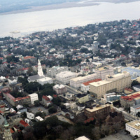
This aerial image of downtown Charleston has Meeting St. running diagonally across the picture plane. St. Michael’s Church (1752-61) is at center left, is significant because it is the oldest religious structure in the city. It was designed by an…

http://www.ricdigitalcommons.com/temp/1082.jpg
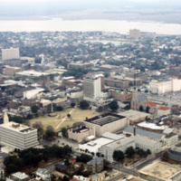
This aerial photograph looks south west across the peninsula that is downtown Charleston. The mouth of the Ashley River empties into the Charleston Harbor on the horizon, while the foreground is spotted with the city’s many historical and…

http://www.ricdigitalcommons.com/temp/1081.jpg
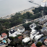
This photograph of downtown Charleston reflects the city’s prosperity during the nineteenth century. At the center left of the frame is the Battery Carriage House Inn, a large home built by Samuel N. Stevens in 1843. Colonel Lathers commissioned…

http://www.ricdigitalcommons.com/temp/1079.jpg
The Citadel is a military college in South Carolina that has it’s roots in the nineteenth century, and was originally used by Confederate soldiers in the nineteenth century. Federal troops occupied the original Citadel during the reconstruction until…

http://www.ricdigitalcommons.com/temp/1039.jpg
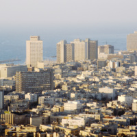
Tel Aviv is sometimes referred to as the Miami of the Middle East. Looking at this 1980 photograph it is easy to see why. The city’s architecture, much like Miami, is dominated by modernist structures in the Bauhaus and International styles. Here…

http://www.ricdigitalcommons.com/temp/0887.jpg
Following Israel’s independence concrete tenement houses were quickly constructed to accommodate large numbers of refugee’s living in ma’abarot, refugee tent camps. This 1980 photograph of Machei Israel Square also shows some of these modernist…

http://www.ricdigitalcommons.com/temp/0604.jpg
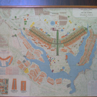
This 1969 map of Brasilia show’s the bird-like shape of the city as designed by Lucia Costa. He was hired by President Juscelino Kubitschek to design the city in what had previously been a waste land with scarce water, animals, plants or people.

http://www.ricdigitalcommons.com/temp/0590.jpg
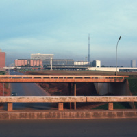
Looking west down Brasilia’s Monumental Axis Smolski capture’s an array of modernist architecture. Of note, to the left is Correios, the national headquarters for Brazil’s postal service. Prominent in the center right of the photograph is Brasilia’s…

http://www.ricdigitalcommons.com/temp/0519.jpg
The Maryland Science Center (MSC) was built in the Inner Harbor in 1976, but grew from the Maryland Academy of Sciences formed in 1797. When the MSC opened in June 1976 it had both interactive exhibits and a state of the art planetarium. Since then…

http://www.ricdigitalcommons.com/temp/0448.jpg
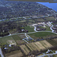
An aerial view of a planned community. Planned communities became popular in the 1960s throughout the United States. Planned communities typically made deliberate use of land that was previously unoccupied.

http://www.ricdigitalcommons.com/temp/0447.jpg
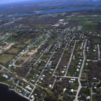
An aerial view of a planned community. Planned communities became popular in the 1960s throughout the United States. Planned communities typically made deliberate use of land that was previously unoccupied.

http://www.ricdigitalcommons.com/temp/0442.jpg
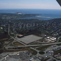
An aerial view over Middletown, Rhode Island. The building with the large lot is Newport Grand Jai Alai, shortened to Newport Grand, a casino. The photo shows development along Route 138, just outside of Newport.

http://www.ricdigitalcommons.com/temp/0441.jpg
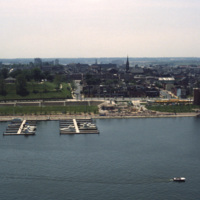
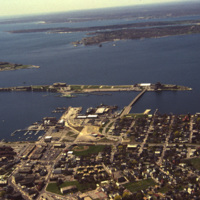
An aerial view of Newport Harbor and waterfront in Newport, Rhode Island. Long Wharf, to the right, and Goat Island, the slender island just offshore, are located on the western side of island. The shipping industry has a long history in Newport,…

http://www.ricdigitalcommons.com/temp/0452.jpg
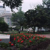
Lafayette Park, or Lafayette Square, is a seven acre public park located in Washington D.C. Lafayette Park is directly across from the White House on Pennsylvania Avenue. Originally part of the White House grounds, Pennsylvania Avenue bisected what…

http://www.ricdigitalcommons.com/temp/0450.jpg
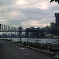
  Roosevelt Island is located between Manhattan and Queens in the East River. The Queensboro Bridge crosses over the island, pictured at the left of the photo. Roosevelt Island has had many names over the years and once served as grounds for a state…

http://www.ricdigitalcommons.com/temp/0433.jpg
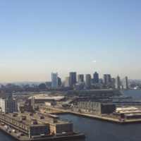
  Boston’s downtown skyline and harbor are picture here in 1979. Boston harbor has been a hub for the shipping industry for centuries, beginning in the late 1600s with the boom of ship building in the colonies. 

http://www.ricdigitalcommons.com/temp/0406.jpg
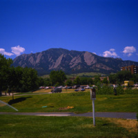
  The University of Colorado at Boulder has the Flatiron Mountains as a backdrop. This mountain range, consisting of five flatiron rock formations, is iconic for the city of Boulder and the university. Both the suburban campus and the state of…

http://www.ricdigitalcommons.com/temp/5521.jpg
Rhode Island College, originally referred to as the Normal School, has occupied several locations and changed names throughout the years. Rhode Island College is known as one of the first teacher preparatory schools in the country. Having out-grown…

http://www.ricdigitalcommons.com/temp/5434.jpg
Blackstone Park, located between Angel St. and the grounds of Butler hospital, lies on land donated to the city by Moses Brown Jenkins in the 1860s. It is some of the hilliest land in Providence, and thus unsuitable for residential development. The…

http://www.ricdigitalcommons.com/temp/5242.jpg
  In this aerial, the Cranston Street Armory can be seen. This building and land parcel was passed on to the city of Providence by Ebenezar Knight Dexter. This area is located off Cranston St. and between Dexter St. and Parade St. This brick and…

5192.jpg
Aerial view of Providence downtown area. Among America’s oldest cities, Providence has a special sense of place. Like its contemporaries, it has been built and rebuilt many times. Development, however, has not resulted in wholesale destruction and…

http://www.ricdigitalcommons.com/temp/5178.jpg
Aerial view looking east over Elmhurst and Wansuck neighborhoods in northwest Providence. Providence College in the foreground, Douglas Ave., St. Patrick’s Cemetery, and the Chad Brown Housing Project (1941). Chad Brown was the first low-rent public…

http://www.ricdigitalcommons.com/temp/5163.jpg
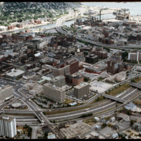
This aerial shows the way in which I-95 bisects the Financial District of downtown from Federal Hill and the West Side of Providence. Overpasses from top to bottom include Broadway, Washington Street, Westminster Sreet, Broad Street, and Pine Street…

http://www.ricdigitalcommons.com/temp/5134.jpg
Providence's first railroad station was Union Railroad Depot, a brick edifice built in 1847 and designed by Thomas A. Tefft for the Providence and Worcester, Providence and Stonington, and Boston and Providence Railroads. This building was lost to…

http://www.ricdigitalcommons.com/temp/5116.jpg
Here we see how the former Chinese Wall of train tracks had prevented the downtown development from reaching the capital. The center of the city is essentially a parking lot along the parameter of the downtown financial district. What we see is the…
Output Formats

atom, dcmes-xml, json, omeka-xml, rss2