Browse Items (23 total)

  • Tags: public spaces

http://www.ricdigitalcommons.com/temp/4854.jpg
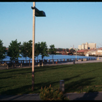
India Point Park is located in Fox Point, a Providence neighborhood, at the junction of the Seekonk River and Providence River. The area that became India Point Park had previously been developed wharves, ships' provisioners, and light industrial…

http://www.ricdigitalcommons.com/temp/4850.jpg
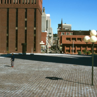
Intended to be a marvelous plaza inspired by European models, Cathedral Square is considered a problematic and failure of a space. E.F. Kennedy's Roman Catholic Chancery Office and auditorium (1966-67) blocks the axis of Westmister Street and is a…

http://www.ricdigitalcommons.com/temp/1082.jpg
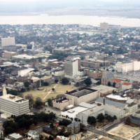
This aerial photograph looks south west across the peninsula that is downtown Charleston. The mouth of the Ashley River empties into the Charleston Harbor on the horizon, while the foreground is spotted with the city’s many historical and…

http://www.ricdigitalcommons.com/temp/1081.jpg
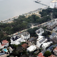
This photograph of downtown Charleston reflects the city’s prosperity during the nineteenth century. At the center left of the frame is the Battery Carriage House Inn, a large home built by Samuel N. Stevens in 1843. Colonel Lathers commissioned…

http://www.ricdigitalcommons.com/temp/1080.jpg
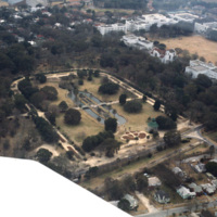
This aerial photograph shows Hampton Park and the Citadel: Military College of South Carolina. Hampton Park, named for Confederate General Wade Hampton III, was the site of a race track, a prisoner of war camp, a plantation, and even a trade…

http://www.ricdigitalcommons.com/temp/0887.jpg
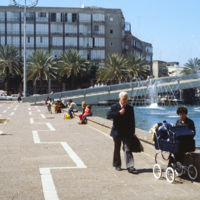
Following Israel’s independence concrete tenement houses were quickly constructed to accommodate large numbers of refugee’s living in ma’abarot, refugee tent camps. This 1980 photograph of Machei Israel Square also shows some of these modernist…

http://www.ricdigitalcommons.com/temp/0818.jpg
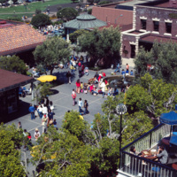
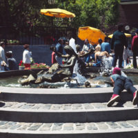
This aerial view of Ghiradelli Square shows Ruth Asawa’s Mermaid Fountain and the former Ghiradelli Chocolate Company buildings readapted for retail use. Since 1982, Ghiradelli Square has been on the National Register of Historic Places. It was…

http://www.ricdigitalcommons.com/temp/0817.jpg
Ghiradelli Square, located in the Fisherman’s Warf area of San Fransisco, was once home to over 40 speciality shops and restaurants. After the square was put up for sale by the Ghiradelli Company, San Fransiscan natives William Roth and his mother…

http://www.ricdigitalcommons.com/temp/0816.jpg
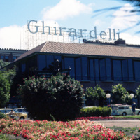
Ghiradelli Square was originally the headquarters for the Ghiradelli Choolate Company, which purchased the entire city block in 1893. In the 1960s the square went up for sale and the purchasers readapted it to house a restaurant and shops making it…

http://www.ricdigitalcommons.com/temp/0812.jpg
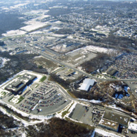
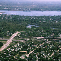
This photograph shows industrial and commercial developments in East Providence along state highway 114. Just barely visible on the horizon is Narragansett bay. The containers on the bay have since been torn down and the area has largely returned…

http://www.ricdigitalcommons.com/temp/0726.jpg
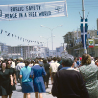
This photo from Kavala is dated October 1968. A year and a half earlier the Greek military lead a coup d’etat and the country went into a police state in which torture was common, and all activities were under surveillance. In late 1967 King…

http://www.ricdigitalcommons.com/temp/0717.jpg
Columbia is a planned community made of ten individual villages. The community makes use of walkways to connect homes and parks, shopping centers, but also has a regular street system for motor vehicles. This pool, part of 23 outdoor pools in…

http://www.ricdigitalcommons.com/temp/0683.jpg
Radburn, a planned community in New Jersey, has over 23 acres of parks within it’s boundaries. The planners felt that with this much open space, residents wouldn’t need large yards, and therefore the homes are very close together, and relatively…

http://www.ricdigitalcommons.com/temp/5434.jpg
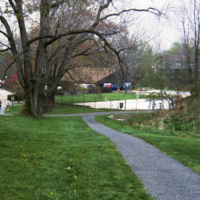
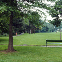
Blackstone Park, located between Angel St. and the grounds of Butler hospital, lies on land donated to the city by Moses Brown Jenkins in the 1860s. It is some of the hilliest land in Providence, and thus unsuitable for residential development. The…

http://www.ricdigitalcommons.com/temp/5177.jpg
In 1871, Betsey Williams, great-great-grandaughter of Providence founder Roger Williams, gave the city the 102 acre tract of land with the provision that the land be used for a park or cemetery and that a memorial to Roger WIlliams be included. It…

http://www.ricdigitalcommons.com/temp/5159.jpg
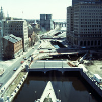
This photo shows work in progress in relocating Suicide Circle and uncovering and re-channeling the Mosshasuck and Woonasquatucket RIvers. Newly constructed Washington Street Bridge is in the foreground, but the old Fulton Street entrance to Suicide…

http://www.ricdigitalcommons.com/temp/5149.jpg
The park beside the Old Stone Square Building is the result of a corporate lawsuit forcing Barnes to limit his appropriation of the views of historic South Main Street. The outcome of the suit was the creation of a public space that rehabilitated the…

http://www.ricdigitalcommons.com/Baxter_temp/CV-88-025.jpg
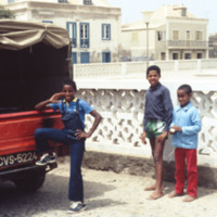
Three children pose to have their picture taken just outside the boundaries of a Praça of Sal Rei.

http://www.ricdigitalcommons.com/Baxter_temp/CV-88-024.jpg
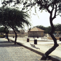
This photo was taken looking into the Central Praça ("plaza") of Sal Rei. The area is a popular place to host events such as parades and bandstands for the community.

http://www.ricdigitalcommons.com/Baxter_temp/CV-88-023.jpg
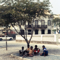
A group of five children sit under the shade of a tree just outside the play area in the Praça of Sal Rei.

http://www.ricdigitalcommons.com/Baxter_temp/CV-88-022.jpg
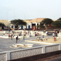
Children in the Central Praça of Sal Rei. Since this photo was taken, the area has been remodeled, adding much more color and life to this popular children's attraction.

http://www.ricdigitalcommons.com/Baxter_temp/CV-88-021.jpg
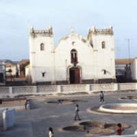
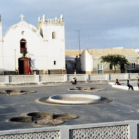
Located in the Central Praça of Sal Rei is the Santa Isabel Church. Since this photo was taken in 1988 the church and the area in front of it have been remodeled. The church now features a sand colored facade with bright blue accents and the square…

http://www.ricdigitalcommons.com/Baxter_temp/CV-88-020.jpg
Located in the Central Praça of Sal Rei is the Santa Isabel Church. Since this photo was taken in 1988 the church and the area in front of it have been remodeled. The church now features a sand colored facade with bright blue accents and the square…
Output Formats

atom, dcmes-xml, json, omeka-xml, rss2