Dublin Core
Title
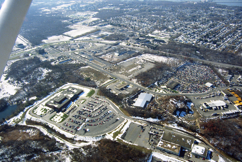
East Providence: Aerial
Description
This photograph shows industrial and commercial developments in East Providence along state highway 114. Just barely visible on the horizon is Narragansett bay. The containers on the bay have since been torn down and the area has largely returned natural growth along the East Bay Bike Path, which was completed in 1992.
Creator
Chester Smolski
Date
1990-01-01
Rights
Rhode Island College
Format
Photograph
Photograph
Identifier
0812
Smolski Image Item Type Metadata
City
East Providence
Country
United States of America
Library of Congress Subject Headings
Cities and towns -- Rhode Island -- East Providence; Aerial photography – Rhode Island -- East Providence; Urban renewal -- Rhode Island -- East Providence; East Providence, R.I. -- Buildings, structures, etc.; Narragansett Bay (East Providence, R.I.); Aerial photography in land use -- Rhode Island -- East Providence;
Region
Rhode Island
