Browse Items (22 total)

  • Tags: RI

http://www.ricdigitalcommons.com/temp/4939.jpg
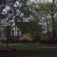
This 2 1/2-story Tudor Revival house was designed by Prescott O. Clarke. Clarke was a principal in the architectural firm Clarke & Spaulding and designed the home for his own residence. The home was one of the first Tudor Revival houses in Providence…

http://www.ricdigitalcommons.com/temp/4933.jpg
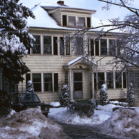
A single family home in the Blackstone neighborhood on Providence’s East Side, photographed during the winter of 1974. The East Side is the oldest, and most affluent section of Providence, containing some of the states earliest settlements.

http://www.ricdigitalcommons.com/temp/5053.jpg
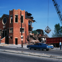
The Randall Square synagogue was demolished as part of a large land clearing in order to make room for light manufacturing, commercial development, and the Marriott Hotel.

http://www.ricdigitalcommons.com/temp/5051.jpg
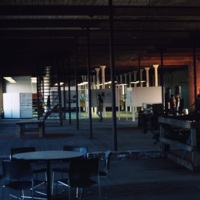
The interior of the Moshassuck Arcade. The building was part of the Bay State Mill, which was part of a complex including the American Screw Company. Many of the surrounding buildings in the complex were destroyed by fire in 1971. The Moshassuck…

http://www.ricdigitalcommons.com/temp/5050.jpg
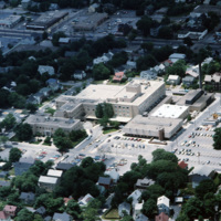
Aerial image of The Miriam Hospital in Providence. The first Miriam Hospital opened in 1926 with 63 beds and 14 bassinets but was relocated for more space to its location on Summit Avenue in 1952. The hospital was started by a group of Jewish woman…

http://www.ricdigitalcommons.com/temp/5049.jpg
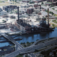
The Narragansett Electric Lighting Company had buildings on Eddy St. (pictured) and on Manchester St. They were once connected by an overhead conveyor belt, but no longer are. The Eddy St. building is no longer active as a power plant, and was…

http://www.ricdigitalcommons.com/temp/5048.jpg
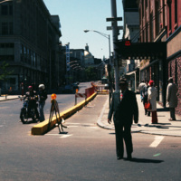
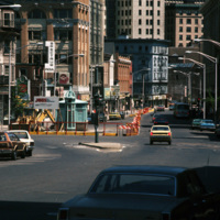
Looking up Weybosset St. from the corner of Dorrance and Weybosset. There is minor street construction occurring, and the Beneficent Congregational Church can be seen in the distance. The church was built in 1809 and remodeled to its current…

http://www.ricdigitalcommons.com/temp/5035.jpg
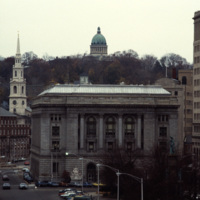
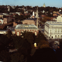
A view into the residential area of East Providence, overlooking the Federal Building and Kennedy Plaza. The First Baptist Church is on the left, and the green dome of the First Church of Christ, Scientist is rising through the skyline.

The Federal…

http://www.ricdigitalcommons.com/temp/5034.jpg
Home to the Davol Rubber Co. from 1884 until 1977, the Davol Square complex was rehabilitated and reopened for mixed retail and office use in 1982, with shops, offices, and restaurants. However, despite high occupancy and easy highway access, the…

http://www.ricdigitalcommons.com/temp/5032.jpg
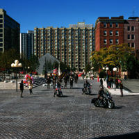
Cathedral Square on Columbus Day, 1974.

http://www.ricdigitalcommons.com/temp/5031.jpg
Street construction taking place on Weybosset St. in the late 1970s.

Weybosset St. is a part of the cultural core that is downtown Providence, connecting to Westminster St. and Empire St. on opposing corners. As of 2015, Weybosset is home to the…

http://www.ricdigitalcommons.com/temp/4981.jpg
This shot overlooks the residential hills of East Providence as well as College Hill. In the middle, one can see the tower of the First Baptist Church -- to the right, the green dome of the First Church of Christ, Scientist on the horizon.

http://www.ricdigitalcommons.com/temp/4977.jpg
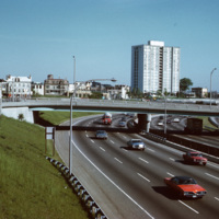
A view of the (then called) Bradford House from Interstate 95 in Providence. Completed in 1966, the building is one of several high-rise towers that was built around the city for elderly residents. As of 2015, the building is known as the Sister…

http://www.ricdigitalcommons.com/temp/4909.jpg
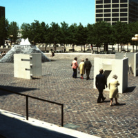
Several sculptures on Cathedral Square. This square was designed by I.M. Pei and Zion & Breen in 1969. It was intended to become a popular plaza but nothing more was added to the space and so it remained empty.

http://www.ricdigitalcommons.com/temp/4861.jpg
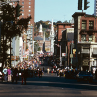
A street celebration on Washington St, in honor of Columbus Day. As of 2015, Washington St. is home to the popular music venue Lupo's Heartbreak of Hotel, the historical Providence Public Library, the Trinity Repertory Company, and the University of…

http://www.ricdigitalcommons.com/temp/4857.jpg
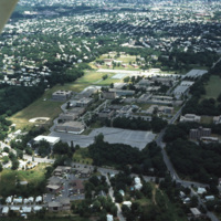
An aerial shot overlooking the Rhode Island College campus on Mount Pleasant Avenue in North Providence as well as its surroundings, such as the Triggs Memorial Golf Course and Pleasant View School. The college campus moved to this particular spot in…

http://www.ricdigitalcommons.com/temp/4854.jpg
India Point Park is located in Fox Point, a Providence neighborhood, at the junction of the Seekonk River and Providence River. The area that became India Point Park had previously been developed wharves, ships' provisioners, and light industrial…

http://www.ricdigitalcommons.com/temp/5498.jpg
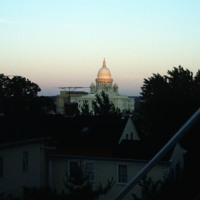
The Rhode Island State House seen from the Providence’s east side, likely Congdon St. It was constructed between 1895 and 1904 and has the fourth largest self supporting marble dome in the world. 

http://www.ricdigitalcommons.com/temp/5360.jpg
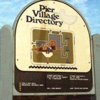
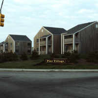
The Pier Village was developed in the 1970s. A combination of apartment housing and commercial space, the mall-like development has since been expanded to include more waterfront condos. The waterfront location had previously consisted of hotels,…

http://www.ricdigitalcommons.com/temp/5355.jpg
In the late 19th century, summer visitors began flocking to the Narragansett shore for a reprieve from city life. The Seaview Trolley Line from Providence to Narragansett began in 1900 and greatly increased the number of seasonal visitors.  The grand…

http://www.ricdigitalcommons.com/temp/5274.jpg
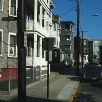
Dense apartment housing on the corner of Fletcher and Fales St.

http://www.ricdigitalcommons.com/temp/5272.jpg
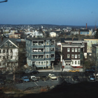
Elevated view from Jenks Hill in Central Falls with mill smoke stacks visible in the distance.
Output Formats

atom, dcmes-xml, json, omeka-xml, rss2