Browse Items (65 total)

  • Tags: Rhode Island

5517.jpg
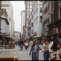
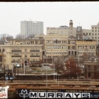
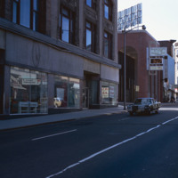
The Westminster Street shopping area was closed to vehicle traffic in the early 1960s in an effort to bring shoppers back to downtown Providence. The buildings in the area varied in architectural style. Some buildings have been removed, yet…

5398.jpg


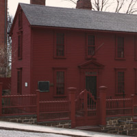
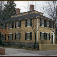
In 1743, Stephen Hopkins purchased a home built in 1707. Hopkins attached his own two-story house to the structure, built with a single ground floor room on either side of a central hallway and two chimneys

5397.jpg
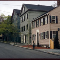
The East Side of Providence is populated with historic homes. The area known as College Hill and Benefit Street are particularly ripe with historic homes built in the late 18th century, before and after the American Revolution. The federal style of…

http://www.ricdigitalcommons.com/temp/4877.jpg
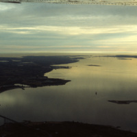
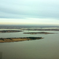
A view across Narragansett Bay, looking towards Prudence Island and the East Passage. Prudence Island is one of the largest islands in the bay. There are approximately thirty islands in the bay, and over ten different rivers flow into it from around…

http://www.ricdigitalcommons.com/temp/4874.jpg
A view across Narragansett Bay, looking towards Prudence Island and the East Passage. Prudence Island is one of the largest islands in the bay. There are approximately thirty islands in the bay, and over ten different rivers flow into it from around…

http://www.ricdigitalcommons.com/temp/5051.jpg
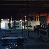
The interior of the Moshassuck Arcade. The building was part of the Bay State Mill, which was part of a complex including the American Screw Company. Many of the surrounding buildings in the complex were destroyed by fire in 1971. The Moshassuck…

http://www.ricdigitalcommons.com/temp/5377.jpg
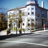
The former home of John Barstow at 60 Waterman Street in the College Hill neighborhood. The East Side is also home to Brown University, the Rhode Island School of Design, and several historic homes and buildings.

John Barstow (1791-1861) was a…

http://www.ricdigitalcommons.com/temp/5429.jpg
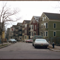
  Triple deckers photographed in the Mount Hope neighborhood of Providence.  During the later nineteenth century the Mount Hope neighborhood experienced rapid growth due to industrial activity along the nearby Moshasshuck River. Street car lines…

http://www.ricdigitalcommons.com/temp/5428.jpg
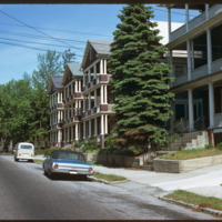
  The triple decker, a house accommodating three units, emerged as a distinct form as early as the 1890s.  Primarily a tenement, they are common throughout urban areas in southern New England.  These triple deckers on Eaton St. were likely demolished…

http://www.ricdigitalcommons.com/temp/5500.jpg
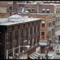
Washington Street and the corner of Mathewson Street, photographed in 1978. The Shepard Building, pictured at the left, was home to the Shepard Department store. At its height the company occupied surrounding buildings, expanding to cover two-blocks.…

http://www.ricdigitalcommons.com/temp/5433.jpg
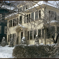
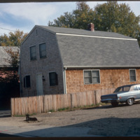
  A single family home in the Blackstone neighborhood on Providence’s East Side, photographed during the winter of 1974. The East Side is the oldest, and most affluent section of Providence, containing some of the states earliest settlements. 

http://www.ricdigitalcommons.com/temp/5432.jpg
  Wiggin Village is affordable, section 8 housing located in Providence, RI. The development was built in 1968. There are 285 units in the development managed by Winn Residential and governed by a board of trustees, which includes Wiggin Village…

http://www.ricdigitalcommons.com/temp/5411.jpg
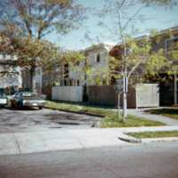
  Housing in South Providence built under the Section 235 Housing Act of 1968.  While 235 housing allowed families to buy a home through subsidized mortgages, it has also been criticized for effectively segregating the population, putting white…

http://www.ricdigitalcommons.com/temp/5403.jpg
  Joseph Brown was one of the four famous Brown brothers of Providence who were heirs to the shipping fortune of their father. Joseph Brown taught mathematics and astronomy at Brown University, but was also an amateur architect. Brown built this home…

http://www.ricdigitalcommons.com/temp/5402.jpg
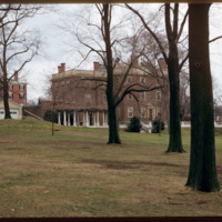
  One of America's grandest mansions when completed in 1788, the house at 52 Power Street was home first to John Brown, a businessman, patriot, politician, China Trade pioneer and slave trader who participated in the debates and practices that shaped…

http://www.ricdigitalcommons.com/temp/5401.jpg
  John Holden Greene built two houses neighboring each other on Power Street. The first of two, pictured here, was built for James Burrough at 160 Power Street. Greene was known for his monitor-on-hip-roof which he featured in this small-scale home.…

http://www.ricdigitalcommons.com/temp/5399.jpg
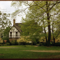
  This English Tudor Revival was built in 1896 for Prescott and Mary Clarke. The sprawling home, designed by Clarke and Spaulding, is considered one of the most exceptional architectural designs on Blackstone Boulevard.  The Proprietors of the Swan…

http://www.ricdigitalcommons.com/temp/5389.jpg
One of America's grandest mansions when completed in 1788, the house at 52 Power Street was home first to John Brown, a businessman, patriot, politician, China Trade pioneer and slave trader who participated in the debates and practices that shaped…

http://www.ricdigitalcommons.com/temp/5379.jpg
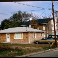
An example of HUD Section 235 housing in South Providence. The HUD Section 235 program was developed to aid lower income families by use of mortgage subsidy payments. The neighborhood has traditionally been home to low-income families and immigrant…

http://www.ricdigitalcommons.com/temp/0442.jpg
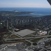
An aerial view over Middletown, Rhode Island. The building with the large lot is Newport Grand Jai Alai, shortened to Newport Grand, a casino. The photo shows development along Route 138, just outside of Newport.

http://www.ricdigitalcommons.com/temp/0441.jpg
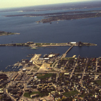
An aerial view of Newport Harbor and waterfront in Newport, Rhode Island. Long Wharf, to the right, and Goat Island, the slender island just offshore, are located on the western side of island. The shipping industry has a long history in Newport,…

http://www.ricdigitalcommons.com/temp/5543.jpg
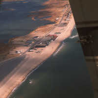
  An aerial view of Misquamicut Beach in Westerly. Atlantic Avenue runs parallel to the shore line, which is lined with attractions. Hurricanes in 1938 and in the 1950’s permanently altered the landscape and destroyed much of the establishments.…

http://www.ricdigitalcommons.com/temp/5579.jpg
  Block Island State Airport (BID) opened in 1950. It maintains scheduled service to Westerly State Airport, but is primarily used for general aviation. It is mostly used for single engine crafts, providing an alternative to the ferry as a connection…

http://www.ricdigitalcommons.com/temp/5574.jpg
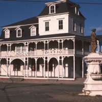
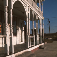
  The Block Island City Drug Store is located in the Old Harbor District of the island. The majority of the buildings and hotels in this district are painted white with cottage style details, reflecting the seaside resort style prominent in the…

http://www.ricdigitalcommons.com/temp/5573.jpg
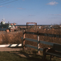
  The dock in the Old Harbor District of Block Island is the arrival port for the ferries that carry visitors and supplies to the Island, which is located just twelve miles off the southern coast of Rhode Island. Block Island saw a surge in…
http://www.ricdigitalcommons.com/temp/5572.jpg
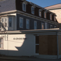
  New Shoreham is the town located on Block Island. New Shoreham was named for Shoreham, Kent, in England. The town has a total area of 109.5 square miles of which, 9.7 square miles of it is land and 99.8 square miles is water. The New Shoreham House…
http://www.ricdigitalcommons.com/temp/5570.jpg
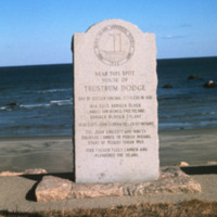
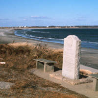
  This marker placed by the Block Island Historical Society in 1942 commemorates the spot where Trustrum Dodge lived. Dodge was one of the original settlers of Block Island.  Inscribed on the marker are notable dates in Block Island’s history: 1614…

http://www.ricdigitalcommons.com/temp/5430.jpg
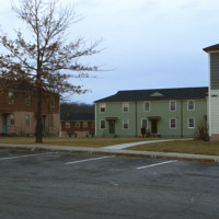
The Veterans Memorial Public Housing was built in 1953. The development is funded by the Woonsocket Housing Authority and the State of Rhode Island. The units, which are designed for elderly residents, consist of two bedrooms, one bath, a kitchen and…

http://www.ricdigitalcommons.com/temp/5567.jpg
  The City Drug Store is one of the late nineteenth century buildings located in the Old Harbor District. Development, which was rare in the first half of the twentieth century on the island, is taking place around the square in this photo from the…

http://www.ricdigitalcommons.com/temp/5564.jpg
  The Block Island City Drug Store is located in the Old Harbor District of the island. The majority of the buildings and hotels in this district are painted white with cottage style details, reflecting the seaside resort style prominent in the…

http://www.ricdigitalcommons.com/temp/5563.jpg
This marker placed by the Block Island Historical Society in 1942 commemorates the spot where Trustrum Dodge lived. Dodge was one of the original settlers of Block Island.  Inscribed on the marker are notable dates in Block Island’s history: 1614…

http://www.ricdigitalcommons.com/temp/5562.jpg
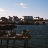
  Looking across the ferry landing on Block Island.  On the horizon is the National Hotel (1903) and to the right of the is oldest surviving hotel, the Surf (1873, 1888). This group of buildings conveys the sense of a nineteenth-century seaside…

http://www.ricdigitalcommons.com/temp/5521.jpg
Rhode Island College, originally referred to as the Normal School, has occupied several locations and changed names throughout the years. Rhode Island College is known as one of the first teacher preparatory schools in the country. Having out-grown…

http://www.ricdigitalcommons.com/temp/5511.jpg
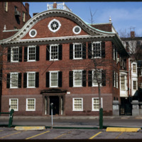
  The Old State House on College Hill in Providence, Rhode Island, also known as Providence Sixth District Court House, Providence Colony House, Providence County House, or Rhode Island State House is located on 150 Benefit Street. It is a brick…

http://www.ricdigitalcommons.com/temp/5510.jpg
The intersection of North Main and Hewes Street was the location of the Moshassuck Arcade. The building was part of the Bay State Mill, which was part of a complex including the American Screw Company. Many of the surrounding buildings in the complex…

http://www.ricdigitalcommons.com/temp/5499.jpg
  The World War I Monument designed and created by architect Paul P. Cret and sculptors C.P. Jennewein and Janet de Coux stands before the Providence County Courthouse on Benefit St. The monument, originally located in Post Office Square (renamed…

http://www.ricdigitalcommons.com/temp/5498.jpg
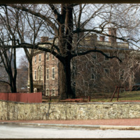
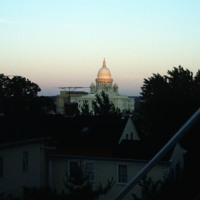
The Rhode Island State House seen from the Providence’s east side, likely Congdon St. It was constructed between 1895 and 1904 and has the fourth largest self supporting marble dome in the world. 

http://www.ricdigitalcommons.com/temp/5459.jpg
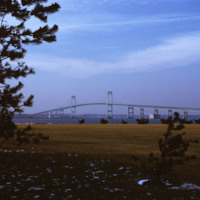
  Beginning in the late 1940s, efforts towards the construction of a bridge linking Jamestown to Newport began. From the 1940s on, at least 32 engineering studies were made for possible location of a suspension or cantilever bridge, a tunnel or…

http://www.ricdigitalcommons.com/temp/5450.jpg
  Main St. in Pawtucket circa 1971, Smolski documents closed businesses and redevelopment in the downtown area. The building at the left has since been converted into a parking garage and small shops lining Main St.

http://www.ricdigitalcommons.com/temp/5449.jpg
  The Blackstone River is recognized by the U.S. Congress  as the birthplace of the American Industrial Revolution. It powered Slater Mill, the first successful mill in America, as well as many other factories producing everything from wire to Mr.…

http://www.ricdigitalcommons.com/temp/5426.jpg
  The Old Slater Mill was dedicated exclusively to the production of cotton thread until 1829 and then continuously occupied until 1921 with various owners and renters who altered its physical structure to suit whatever enterprise they brought with…

http://www.ricdigitalcommons.com/temp/5425.jpg
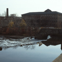
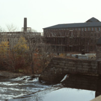
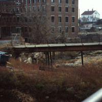
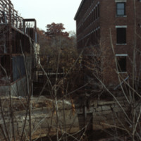
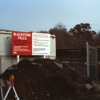
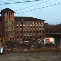
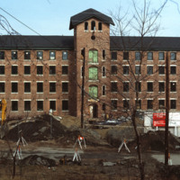
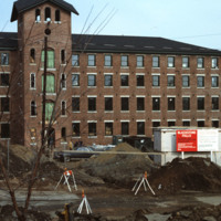
  The 1840s Blackstone Falls mill complex was turned into 133 units of housing for the elderly. The mill was located on a difficult site: two of its buildings were on an island in the Blackstone River, connected by a series of bridges across a canal.…

http://www.ricdigitalcommons.com/temp/5424.jpg
The 1840s Blackstone Falls mill complex was turned into 133 units of housing for the elderly. The mill was located on a difficult site: two of its buildings were on an island in the Blackstone River, connected by a series of bridges across a canal.…

http://www.ricdigitalcommons.com/temp/5422.jpg
  The 1840s Blackstone Falls mill complex was turned into 133 units of housing for the elderly. The mill was located on a difficult site: two of its buildings were on an island in the Blackstone River, connected by a series of bridges across a canal.…

http://www.ricdigitalcommons.com/temp/5421.jpg
  The 1840s Blackstone Falls mill complex was turned into 133 units of housing for the elderly. The mill was located on a difficult site: two of its buildings were on an island in the Blackstone River, connected by a series of bridges across a canal.…

http://www.ricdigitalcommons.com/temp/5419.jpg
  The 1840s Blackstone Falls mill complex was turned into 133 units of housing for the elderly. The mill was located on a difficult site: two of its buildings were on an island in the Blackstone River, connected by a series of bridges across a canal.…

http://www.ricdigitalcommons.com/temp/5418.jpg
  The 1840s Blackstone Falls mill complex was turned into 133 units of housing for the elderly. The mill was located on a difficult site: two of its buildings were on an island in the Blackstone River, connected by a series of bridges across a canal.…

http://www.ricdigitalcommons.com/temp/5417.jpg
  The 1840s Blackstone Falls mill complex was turned into 133 units of housing for the elderly. The mill was located on a difficult site: two of its buildings were on an island in the Blackstone River, connected by a series of bridges across a canal.…

http://www.ricdigitalcommons.com/temp/5416.jpg
  The 1840s Blackstone Falls mill complex was turned into 133 units of housing for the elderly. The mill was located on a difficult site: two of its buildings were on an island in the Blackstone River, connected by a series of bridges across a canal.…

http://www.ricdigitalcommons.com/temp/5415.jpg
  The 1840s Blackstone Falls mill complex was turned into 133 units of housing for the elderly. The mill was located on a difficult site: two of its buildings were on an island in the Blackstone River, connected by a series of bridges across a canal.…
Output Formats

atom, dcmes-xml, json, omeka-xml, rss2