Browse Items (57 total)

  • Tags: urban renewal

5127.jpg
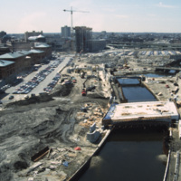
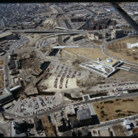
River relocation in progress. Waterplace Park is being developed with its bridges (Exchange St., Francis St., and pedestrian walkways) built or under construction. Memorial Boulevard is for now a construction site. The Westin Hotel is being erected…

5122.jpg
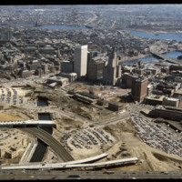
This image shows the transformation of Capital Center in progress. Francis Street construction is complete up until the over-passed train tracks and the bridge over the Woonasquatucket River. The former train tracks have been removed, but the land…

http://www.ricdigitalcommons.com/temp/5051.jpg
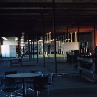
The interior of the Moshassuck Arcade. The building was part of the Bay State Mill, which was part of a complex including the American Screw Company. Many of the surrounding buildings in the complex were destroyed by fire in 1971. The Moshassuck…

http://www.ricdigitalcommons.com/temp/5045.jpg
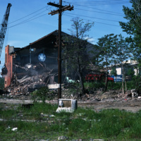
Randall Sqare in the midst of its redevelopment after it was demolished in 1971 as part of a large land clearing in order to make room for light manufacturing, commercial development and the Marriott Hotel.

http://www.ricdigitalcommons.com/temp/5044.jpg
The Randall Square synagogue was demolished as part of a large land clearing in order to make room for light manufacturing, commercial development and the Marriott Hotel.

http://www.ricdigitalcommons.com/temp/5028.jpg
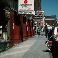
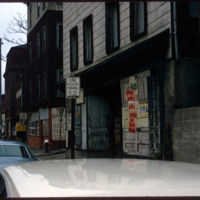
Street scene of Richmond St near the corner of Richmond St and Pine St in downtown Providence.


http://www.ricdigitalcommons.com/temp/4911.jpg
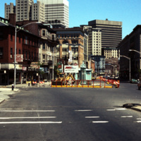
Street construction taking place on Weybosset St. in the late 1970s.

Weybosset St. is a part of the cultural core that is downtown Providence, connecting to Westminster St. and Empire St., Weybosset is home to the Providence Performing Arts Center…

http://www.ricdigitalcommons.com/temp/4787.jpg
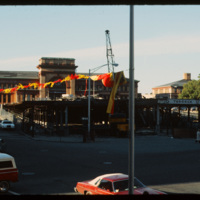
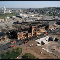
This photo was taken in 1979 and shows the deconstruction of a parking garage in front of Union Station on Exchange Terrace. Union Station was designed by Stone, Carpenter, and Willson in 1893 and constructed three years later by the New York, New…

http://www.ricdigitalcommons.com/temp/5226.jpg
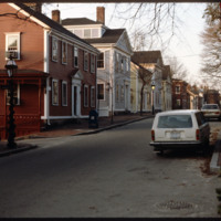
Historic houses on northern Benefit Street. Benefit Street runs north to south of the community’s 18th century center at Market Square. in the late 1950s, many of the houses on this street were about to be torn down but were saved, thanks to the…

http://www.ricdigitalcommons.com/temp/5263.jpg
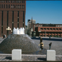
According to Woodward, Cathedral Square is the “most problematic of Providence’s open spaces.” Despite being designed by world class architects and urban planners, namely I.M. Pei and Zion & Breen, the space has been universally decried as an…

http://www.ricdigitalcommons.com/temp/5257.jpg
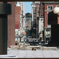
Looking north on South Main St. the peak of the Office of the Attorney General (150 South Main St.) is just visible on the left. The building in the foreground is now occupied by Ursillo, Teitz & Ritch, Ltd. The building at the north corner of…

http://www.ricdigitalcommons.com/temp/5196.jpg
According to Woodward, Cathedral Square is the “most problematic of Providence’s open spaces.” Despite being designed by world class architects and urban planners, namely I.M. Pei and Zion & Breen, the space has been universally decried as an…

http://www.ricdigitalcommons.com/temp/5168.jpg
Providence's first railroad station was Union Railroad Depot, a brick edifice built in 1847 and designed by Thomas A. Tefft for the Providence and Worcester, Providence and Stonington, and Boston and Providence Railroads. This building was lost to…

http://www.ricdigitalcommons.com/temp/5153.jpg
In 1986 Providence Station was completed. It replaced the 1898 Union Station as part of a redevelopment project to free up land from a mass of train tracks that had hemmed in downtown Providence. It is much smaller than its predecessor, reflecting…

http://www.ricdigitalcommons.com/temp/5136.jpg
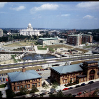
Rhode Island State House, Providence Station, Waterplace Park, Union Station as seen from the Providence Biltmore Hotel. Waterplace Park and the Riverwalk linked to it have a welcoming, well-thought-out design, which has become a focal point of the…

http://www.ricdigitalcommons.com/temp/5135.jpg
This image shows the transformation of Capital Center in progress. Francis Street construction is complete up until the over-passed train tracks and the bridge over the Woonasquatucket River. The former train tracks have been removed, but the land…

http://www.ricdigitalcommons.com/temp/5114.jpg
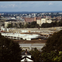
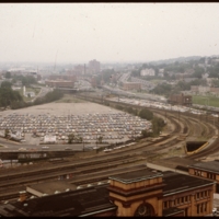
Prior to the construction of Waterplace Park railroad tracks and parking lots separated the different districts of downtown Providence. This barrier was locally referred to as a, "Chinese wall." This 1977 view shows Providence before its dramatic…

http://www.ricdigitalcommons.com/temp/5128.jpg
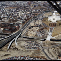
In this 1987 view the newly constructed Francis Street approach to the State House is complete thru the future intersection with Memorial Blvd. Interstate 95 separates Providence's West Side from downtown. The Foundry Building is on the left side of…

http://www.ricdigitalcommons.com/temp/1300.jpg
This photograph shows the the Urban Renewal Project area of Allentown before construction began. As in many cities, urban renewal in Allentown displaced many individuals and families. While Allentown did achieve some new apartment complex's, elderly…
http://www.ricdigitalcommons.com/temp/1319.jpg
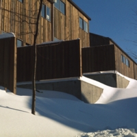
Named for Congressman Fernand J St. Germain, the elderly high rise was one of two new high rise structures to be built during the 1970s in Woonsocket. It was part of a greater city revitalization that developed the Social Flatlands into the new…

http://www.ricdigitalcommons.com/temp/1318.jpg
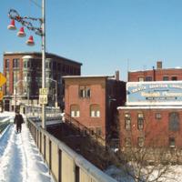
Downtown Woonsocket photographed from the Court Street Bridge which spans the Blackstone River. The largest building, just left of center, is the Main Street Lonlley building, which was built in 1890. (date of photograph has been approximated)

http://www.ricdigitalcommons.com/temp/1317.jpg
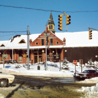
Formerly a railroad depot, Woonsocket Depot was rehabilitated as retail & office space during the process of urban renewal that revitalized the city in the 1970s. The station is located in Depot Square. (date of photograph has been…
http://www.ricdigitalcommons.com/temp/1315.jpg
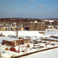
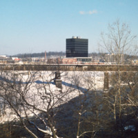
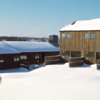
By 1970 Woonsocket was being referred to as a lost city (Providence Journal). In response the city entered a resurgence phase. The biggest change was the creation of a new downtown in the area known as the Social Flatlands. The black high rise in the…

http://www.ricdigitalcommons.com/temp/1313.jpg
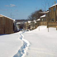
Woonsocket Village was built as part of city wide urban renewal in the 1970s. The neighborhood has 284 houses in an area that used to house 80. The housing project was built on a neighborhood in the Social Flatlands, previously it had been the Gaulin…
http://www.ricdigitalcommons.com/temp/1312.jpg
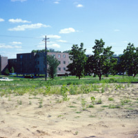
Housing in Woonsocket Village. This affordable housing project was constructed in the 1970s as part of the new Social Flatlands. The project replaced multifamily homes that and mills that had fallen into a state of disrepair since the late 19th…

http://www.ricdigitalcommons.com/temp/1310.jpg
Woonsocket under went a revitalization process in the 1970s, specifically in an area known as the Social Flatlands. This photograph shows Woonsocket Village, a housing development that replaced neighborhoods that had formerly been multiple family…

http://www.ricdigitalcommons.com/temp/1309.jpg
Construction of the Triangle area in Madison, WI. This affordable housing project displaced families and businesses that had made up a neighborhood known as Greenbush. This photograph shows land cleared for the construction of public housing in…

http://www.ricdigitalcommons.com/temp/1308.jpg
Construction of public housing in Madison’s Triangle neighborhood during the 1960s. The area had previously been a largely Italian neighborhood known as Greenbush. Construction of affordable public housing in the 1960s displaced many families and…

http://www.ricdigitalcommons.com/temp/1306.jpg
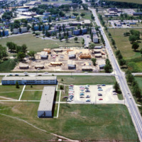
This aerial view of Madison’s Triangle housing project shows both recently completed public housing as well as construction of addition housing.

http://www.ricdigitalcommons.com/temp/1304.jpg
A large commercial structure slated for demolition in order to make room for the Triangle redevelopment project, a federally funded urban renewal project that aimed to create affordable public housing in Madison.
http://www.ricdigitalcommons.com/temp/1303.jpg
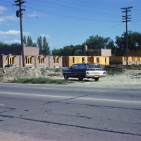
Public housing photographed from the air in Madison. The Triangle redevelopment plan created a neighborhood of affordable housing, but displaced an Italian neighborhood known as Greenbush.

http://www.ricdigitalcommons.com/temp/1302.jpg
This photograph shows the the Urban Renewal Project area of Allentown before construction began. As in many cities, urban renewal in Allentown displaced many individuals and families. While Allentown did achieve some new apartment complex's, elderly…
http://www.ricdigitalcommons.com/temp/1301.jpg
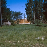
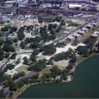
Vacant land that became the Triangle project area in Madison. The project created public housing in Madison with aid from federal funding.

http://www.ricdigitalcommons.com/temp/1299.jpg
The street lights on Hamilton St. were installed in 1916 and remained until the 1970s when revitalization ended up junking the ornate lamp posts. The flower bowl lamp posts were suggested by Mayor Alfred L. Reichenbach’s wife, Maude, after returning…

http://www.ricdigitalcommons.com/temp/1296.jpg
This 1965 photograph shows a newly constructed Public Safety Building that was built as part of an Urban Renewal project in the 1960s & 1970s.

http://www.ricdigitalcommons.com/temp/1295.jpg
This photograph shows a vacant lot scheduled to be developed as part of Allentown’s Fourth Street Urban Renewal Project. The project aimed to create affordable housing for Allentown residents.

http://www.ricdigitalcommons.com/temp/1293.jpg
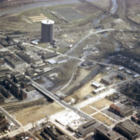
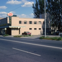
An aerial view of Allentown’s Fourth Street Urban Renewal Project. The project was part of a nationwide urban renewal trend in the 1960s and was designed to provide affordable housing to the residents of Allentown.
http://www.ricdigitalcommons.com/temp/1292.jpg
Allentown saw significant economic growth in the 19th century due to the industrial revolution. it was an exporter of iron which was exported through the Lehigh Valley Railroad. This photo, likely taken around 1975, shows a rail yard, and some…

http://www.ricdigitalcommons.com/temp/1291.jpg
Aerial view of Madison Triangle shows a detail of construction of public housing in the 1960s. Previously the neighborhood had been known as Greenbush, and Italian neighborhood.

http://www.ricdigitalcommons.com/temp/1290.jpg
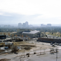
An aerial view of Madison, including the Triangle redevelopment project. On the horizon the state capitol is visible.

http://www.ricdigitalcommons.com/temp/1289.jpg
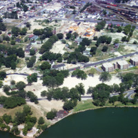
An aerial view of Madison’s Triangle nbeighborhood, a public housing development that was built over what was once called Greenbush, an Italian community.

http://www.ricdigitalcommons.com/temp/1288.jpg
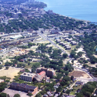
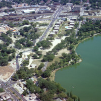
Aerial photograph of the Madison Triangle and Brittingham Park. The Triangle was once known as Greenbush, a primarily Italian neighborhood before it was redeveloped in the 1960s for public housing.

http://www.ricdigitalcommons.com/temp/1287.jpg
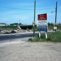
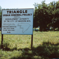
The Triangle neighborhood in Madison was developed in the 1960s. It was once a primarily Italian neighborhood known as Greenbush. This photograph shows a sign explaining the funding and areas affected by the project.

http://www.ricdigitalcommons.com/temp/1286.jpg
Aerial photograph of public housing under construction at Truax Barracks in Madison.

http://www.ricdigitalcommons.com/temp/1285.jpg
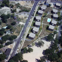
Public housing for the elderly in the Triangle neighborhood of Madison, WI. The neighborhood, once an Italian neighborhood known as Greenbush but was cleared for urban renewal in the 1960s.
http://www.ricdigitalcommons.com/temp/0794.jpg
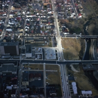
Albuquerque’s skyline in 1993, shortly after construction of the Albuquerque Plaza (1990). it’s distinct shape can be seen in the center in this photograph. While it saw much of the same cycle of decline and urban renewal as many US cities in the…
http://www.ricdigitalcommons.com/temp/0759.jpg
Anchored by Norfolk Scope, the northern corner of town is shown in the aerial photograph. Retail shops outlets dominate the area. Throughout the twentieth century shopping centers in the suburbs continued to draw commerce away from the city. The…
http://www.ricdigitalcommons.com/temp/0459.jpg
L’Enfant Plaza in Washington D.C. is a complex of several commercial and government buidlings. “La Promenade” shopping mall is also a part of the plaza. Named for Pierre Charles L’Enfant, the man responsible for the design and plan of Washington…

http://www.ricdigitalcommons.com/temp/5510.jpg
The intersection of North Main and Hewes Street was the location of the Moshassuck Arcade. The building was part of the Bay State Mill, which was part of a complex including the American Screw Company. Many of the surrounding buildings in the complex…

http://www.ricdigitalcommons.com/temp/5452.jpg
industrial Pawtucket along with some of the stores located near the Apex center.
Output Formats

atom, dcmes-xml, json, omeka-xml, rss2