Browse Items (16 total)
- Tags: aerials
Sort by:
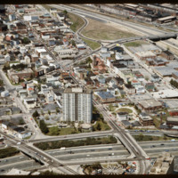
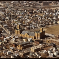
Federal Hill
The Federal Hill neighborhood is home to approximately 8,000 residents and has been the traditional center of Rhode Island
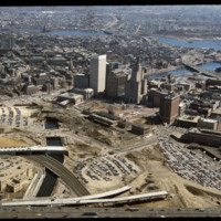
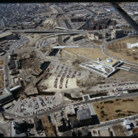
Transformation of Capital Center
This image shows the transformation of Capital Center in progress. Francis Street construction is complete up until the over-passed train tracks and the bridge over the Woonasquatucket River. The former train tracks have been removed, but the land…
Future Site of Rhode Island Convention Center and Westin Hotel
Future location of the neo-Traditionalist Rhode Island Convention Center (1 Sabin St., 1994) and Westin Hotel and Residences (1993, 2007). Woodward praises the Convention Center for performing acrobatics over the existing street plan as well as its…
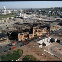
Union Station with Fire Damage
Providence's first railroad station was Union Railroad Depot, a brick edifice built in 1847 and designed by Thomas A. Tefft for the Providence and Worcester, Providence and Stonington, and Boston and Providence Railroads. This building was lost to…
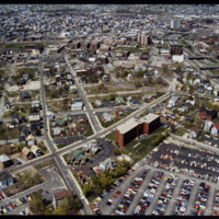
Upper South Providence
Blighted area in Upper South Providence near Rhode Island Hospital. In-fill housing eventually filled much of the vacant land.
Downtown Providence
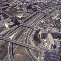
Aerial view looking west by southwest. I-95 junction with I-195. In the 2000s I-195 was relocated to the south to allow for development and to correct safety issues and that were the result of poor planning. The Providence Civic Center (Dunkin Donuts…
Tags: aerials, downtown, highways, land use, Urban Geography
Providence Capital Center with Providence Station
This image shows the transformation of Capital Center in progress. Francis Street construction is complete up until the over-passed train tracks and the bridge over the Woonasquatucket River. The former train tracks have been removed, but the land…
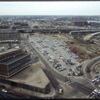
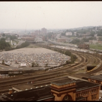
Downtown Providence: Parking Lot, Rail Yard
Prior to the construction of Waterplace Park railroad tracks and parking lots separated the different districts of downtown Providence. This barrier was locally referred to as a, "Chinese wall." This 1977 view shows Providence before its dramatic…
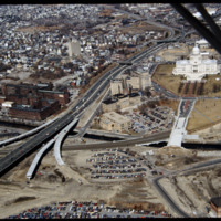
Capital Center and North End
In this 1987 view the newly constructed Francis Street approach to the State House is complete thru the future intersection with Memorial Blvd. Interstate 95 separates Providence's West Side from downtown. The Foundry Building is on the left side of…
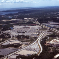
Aerial view of Warwick and Rhode Island Malls
Rhode Island Mall (Midland Mall, 1967) was a once popular shopping center that now contains only a half-dozen open businesses. Warwick Mall opened five years after Midland Mall and a mile to its north. Composed of more than 1,000,000-square-foot…
Tags: aerials, malls, Rhode Island Mall, shopping malls, Warwick Mall
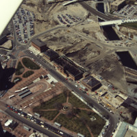
Aerial of fire-damaged Union Station and Capital Center redevelopment in progress.
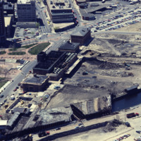
Railroad relocation was one of the core elements of the Providence Renaissance. In this aerial we can see the dirt lot where the railroad tracks were formerly located. Here we also see the burned roof of Union Station.
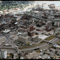
Aerial of Interstate 95 at downtown Providence
This aerial shows the way in which I-95 bisects the Financial District of downtown from Federal Hill and the West Side of Providence. Overpasses from top to bottom include Broadway, Washington Street, Westminster Sreet, Broad Street, and Pine Street…
Tags: aerials, highways, I-95, land use, Providence, transportation
Downtown Providence - Cathedral Square and I-95
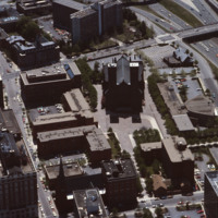
Designed by I.M. Pei and Zion & Breen, Cathedral Plaza was intended to be a marvelous piazza as the forecourt for one of Providence’s most monumental and important churches, the Cathedral of Saints Peter and Paul. (date of photograph is…
Union Station damaged by fire and excavations to the north
Providence's first railroad station was Union Railroad Depot, a brick edifice built in 1847 and designed by Thomas A. Tefft for the Providence and Worcester, Providence and Stonington, and Boston and Providence Railroads. This building was lost to…
I-95, Providence Civic Center, Capital Center (1983)
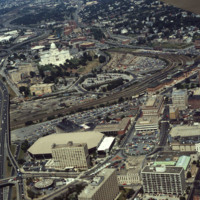
Here we see how the former Chinese Wall of train tracks had prevented the downtown development from reaching the capital. The center of the city is essentially a parking lot along the parameter of the downtown financial district. What we see is the…
