Browse Items (19 total)
- Tags: urban redevelopment
Sort by:
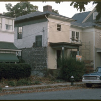
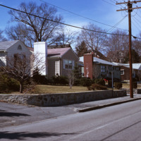
John G. McIntosh House
207 Morris Avenue was built by John George McIntosh in 1892, and is known as the John G. McIntosh House. McIntosh purchased the plot of land in 1887 for $10 and built his home on the East Side. The house is pictured on the left of the…
Tags: housing, suburbs, urban redevelopment
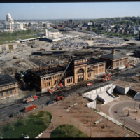
Union Station with Fire Damage
Providence's first railroad station was Union Railroad Depot, a brick edifice built in 1847 and designed by Thomas A. Tefft for the Providence and Worcester, Providence and Stonington, and Boston and Providence Railroads. This building was lost to…
Madison: Brittingham & Triangle (1 of 2)
This aerial view of Madison’s Triangle housing project shows both recently completed public housing as well as construction of addition housing.
Madison: Triangle Neighborhood
Proposed in 1960, the Triangle Urban Renewal Area displaced numerous people and businesses from the project area in order for the city to create public housing.
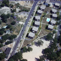
Madison Triangle
Public housing photographed from the air in Madison. The Triangle redevelopment plan created a neighborhood of affordable housing, but displaced an Italian neighborhood known as Greenbush.
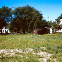
Madison: Triangle, Vacant Lot
Vacant land that became the Triangle project area in Madison. The project created public housing in Madison with aid from federal funding.
Allentown: Project Area
An aerial view of Allentown’s Fourth Street Urban Renewal Project. The project was part of a nationwide urban renewal trend in the 1960s and was designed to provide affordable housing to the residents of Allentown.
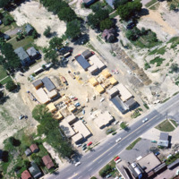
Construction in Madison Triangle
Aerial view of Madison Triangle shows a detail of construction of public housing in the 1960s. Previously the neighborhood had been known as Greenbush, and Italian neighborhood.
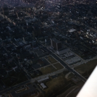
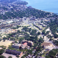
Aerial View of Madison, Including Triangle
An aerial view of Madison, including the Triangle redevelopment project. On the horizon the state capitol is visible.
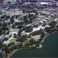
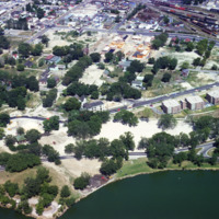
Madison: Brittingham Park and Triangle
Aerial photograph of the Madison Triangle and Brittingham Park. The Triangle was once known as Greenbush, a primarily Italian neighborhood before it was redeveloped in the 1960s for public housing.
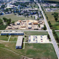
Madison: Truax Barracks Public Housing, Construction
Aerial photograph of public housing under construction at Truax Barracks in Madison.
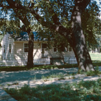
Pleasant St. Pawtucket- Post war Infilling
Single family homes on Pleasant St. in Pawtucket located across from Francis J. Varieur Elementary School.
Tags: housing, Pawtucket, urban redevelopment
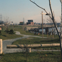
India Point Park
View looking East from India Point Park. In the distance stands the old India Point Park Pedestrian bridge. Originally measuring 8 feet wide, the bridge was built in 1971 and then demolished in 2005 to be reconstructed. It was officially replaced in…
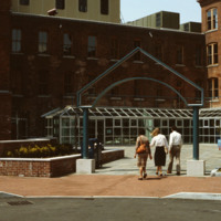
Davol Square Shopping Center
Home to the Davol Rubber Co. from 1884 until 1977, the complex were rehabilitated and reopened for mixed retail and office use in 1982. However, despite high occupancy and easy highway access, the shops slowly disappeared and the mall closed down in…
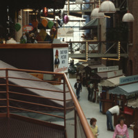
Davol Square Shopping Center - Interior
Home to the Davol Rubber Co. from 1884 until 1977, the complex were rehabilitated and reopened for mixed retail and office use in 1982. However, despite high occupancy and easy highway access, the shops slowly disappeared and the mall closed down in…
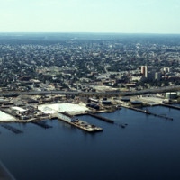
Port of Providence just south of Collier Park
Looking west over Providence Harbor, this shot shows a portion of the ten miles of commercial waterfront on Narragansett Bay. The industrial waterfront has been “long-overlooked” despite its historic role as the source Providence’s original…
Aerial of Elmhurst and Wansuck neighborhoods
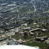
Aerial view looking east over Elmhurst and Wansuck neighborhoods in northwest Providence. Providence College in the foreground, Douglas Ave., St. Patrick’s Cemetery, and the Chad Brown Housing Project (1941). Chad Brown was the first low-rent public…
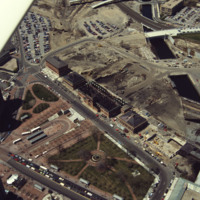
Aerial of fire-damaged Union Station and Capital Center redevelopment in progress.
Railroad relocation was one of the core elements of the Providence Renaissance. In this aerial we can see the dirt lot where the railroad tracks were formerly located. Here we also see the burned roof of Union Station.
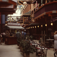
Davol Square Shopping Mall (Interior)
Home to the Davol Rubber Co. from 1884 until 1977, the complex were rehabilitated and reopened for mixed retail and office use in 1982. However, despite high occupancy and easy highway access, the shops slowly disappeared and the mall closed down in…
