Browse Items (24 total)
- Tags: downtown revitalization
Sort by:
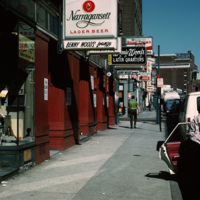
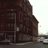
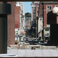
Providence: Richmond St Street Scene
Street scene of Richmond St near the corner of Richmond St and Pine St in downtown Providence.
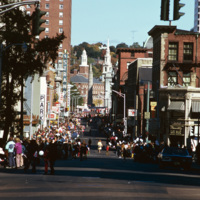
Columbus Day Parade on Washington St.
A street celebration on Washington St, in honor of Columbus Day. As of 2015, Washington St. is home to the popular music venue Lupo's Heartbreak of Hotel, the historical Providence Public Library, the Trinity Repertory Company, and the University of…
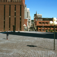
Cathedral Square
Intended to be a marvelous plaza inspired by European models, Cathedral Square is considered a problematic and failure of a space. E.F. Kennedy's Roman Catholic Chancery Office and auditorium (1966-67) blocks the axis of Westmister Street and is a…
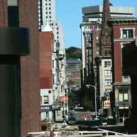
Westminster Street Pedestrian Mall
A compressed view of Westminster Street in 1974 taken from I. M. Pei's Cathedral Square. In 1964 Westminster Street was closed to vehicular traffic between Dorrance Street and Snow Street. The move was an attempt to compete with suburban malls.…
Exchange Bank Building
The Exchange Bank Building, pictured here in 1979, is a commercial building in the Queen Anne style. The brick building featured granite trim typical of commercial buildings, and was rehabilitated as part of the Fleet Center complex in the 1980's.
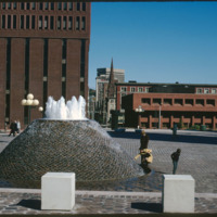
Cathedral Square Fountain
According to Woodward, Cathedral Square is the “most problematic of Providence’s open spaces.” Despite being designed by world class architects and urban planners, namely I.M. Pei and Zion & Breen, the space has been universally decried as an…
South Main Street, 1972
Looking north on South Main St. the peak of the Office of the Attorney General (150 South Main St.) is just visible on the left. The building in the foreground is now occupied by Ursillo, Teitz & Ritch, Ltd. The building at the north corner of…
Conrad Building
This building was built for investment income as a wedding present for Jerothmul B. Barnaby’s daughter and his son-in-law, after whom it is named. The tower feature on this downtown building is also employed in Nickerson’s Carr House built in 1885.…
Westminster Street from Cathedral Square
According to Woodward, Cathedral Square is the “most problematic of Providence’s open spaces.” Despite being designed by world class architects and urban planners, namely I.M. Pei and Zion & Breen, the space has been universally decried as an…
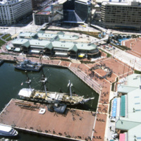
Baltimore: Inner Harbor, USS Constellation, Aerial
Baltimore’s Inner Harbor photographed in the 1980s. This aerial view shows the Light St. and Pratt St. Pavilions as well as the USS Constellation. The pavilions, developed by James W. Rouse, were part of Baltimore’s revitalization project which…
Tags: city blocks, downtown revitalization, harbor, malls, retail, shops, waterfront
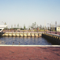
Norfolk: New Spirit, Hampton Roads, Harbor
The New Spirit was a cruise boat that toured the Elizabeth River, a branch of the Hampton Roads waterways. It, along with Waterside, was part of the downtown revitalization movement. The New Spirit, pictured here, was launched in 1983 after the…
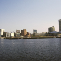
Norfolk: Waterside, Bank of America Center
This photograph shows Downtown Norfolk from Hampton Roads. At the right is the Waterside Festival Marketplace developed by James Rouse. The marketplace was a key component in Norfolk’s revitalization process in the decades following the Second World…
Tags: cityscape, downtown revitalization, harbor, shops, waterfront
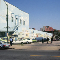
Norfolk: Public Art, Wall Mural, Parking Lot
This 1985 photograph shows a public mural in downtown Norfolk. The building, which in this photograph is occupied by Unlimited Tatse, is presently (2011) occupied by a Starbucks franchise. The parking lot has since been redeveloped as part of the…
Tags: downtown revitalization, parking, retail, shops, street scene
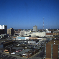
Norfolk: Aerial, North Corner
Anchored by Norfolk Scope, the northern corner of town is shown in the aerial photograph. Retail shops outlets dominate the area. Throughout the twentieth century shopping centers in the suburbs continued to draw commerce away from the city. The…
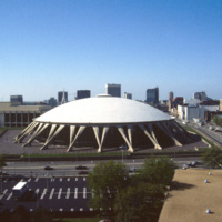
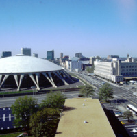
Nofolk: Scope Arena (Norfolk Scope)
Featuring the world’s largest concrete dome, the Norfolk Scope (derived from kaleidoscope for it’s re-configurability) is a center for sports, entertainment and conventions in downtown Norfolk. It was designed by Italian architect Pier Luigi Nervi…
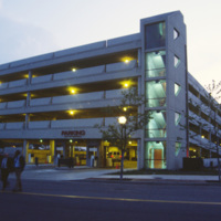
Norfolk: Parking Garage for Waterside Festival Marketplace
The Waterside Festival Marketplace was constructed as part of Norfolk’s postwar revitalization project.T his photograph (circa 1985) shows a parking garage neighboring the marketplace to accommodate shoppers.
Norfolk: Waterside Festival Marketplace
The Waterside is a festival marketplace in Norfolk. James W. Rouse envisioned the marketplace in the early 1970s as a way to revitalize Norfolk, which was experiencing a considerable decline. The marketplace has a combination of restaurants, retail…
Tags: downtown revitalization, market, retail, shopping malls, shops
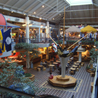
Norfolk: Waterside Festival Marketplace, Interior
The Waterside Festival Marketplace in Norfolk was conceived in the 1970s as part of a downtown revitalization project. This interior photograph shows the marketplace crica 1985. Recent declines in business have replaced the stores upstairs with…
Tags: downtown revitalization, retail, shops
Norfolk: Scope Arena
When it was opened in 1971, the Norfolk Scope, a multipurpose arena, was the second largest complex in Virginia after the Pentagon. The Scope also has the world’s largest concrete dome. Designed by Italian architect Pier Luigi Nervi, it was modeled…
Indianapolis: Crowne Plaza Hotel at Indianapolis Union Station, Interior
Interior photograph of the Crowne Plaza Hotel at Indianapolis Union Station. The hotel is located in the train shed which was completed in 1915. Following World War II the station saw rapidly declining numbers in passanger service fell increasing to…
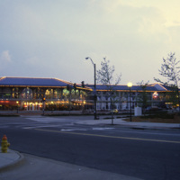
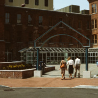
Davol Square Shopping Center
Home to the Davol Rubber Co. from 1884 until 1977, the complex were rehabilitated and reopened for mixed retail and office use in 1982. However, despite high occupancy and easy highway access, the shops slowly disappeared and the mall closed down in…
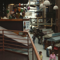
Davol Square Shopping Center - Interior
Home to the Davol Rubber Co. from 1884 until 1977, the complex were rehabilitated and reopened for mixed retail and office use in 1982. However, despite high occupancy and easy highway access, the shops slowly disappeared and the mall closed down in…
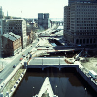
Construction on Memorial Blvd. Looking South from One Citizens Plaza at the Confluence of the Moshassuck and Woonasquatucket Rivers
This photo shows work in progress in relocating Suicide Circle and uncovering and re-channeling the Mosshasuck and Woonasquatucket RIvers. Newly constructed Washington Street Bridge is in the foreground, but the old Fulton Street entrance to Suicide…
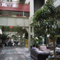
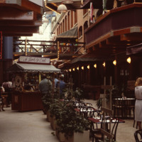
Davol Square Shopping Mall (Interior)
Home to the Davol Rubber Co. from 1884 until 1977, the complex were rehabilitated and reopened for mixed retail and office use in 1982. However, despite high occupancy and easy highway access, the shops slowly disappeared and the mall closed down in…
