Browse Items (6 total)
- Tags: interstate 95
Sort by:
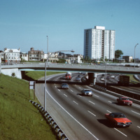
The Bradford House
A view of the (then called) Bradford House from Interstate 95 in Providence. Completed in 1966, the building is one of several high-rise towers that was built around the city for elderly residents. As of 2015, the building is known as the Sister…
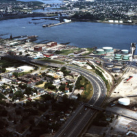
Port of Providence (Aerial)
The northernmost points of Narragansett Bay, where it is fed by the Providence and Seekonk Rivers. The Port of Providence and Interstate 95 are in the foreground of the photograph. The construction of Interstate 95 effectively segregated Providence…
Tags: aerial, burges cove, corliss cove, highways, industry, interstate 95, port, railroad, sassafras cove, shipping, waterfront
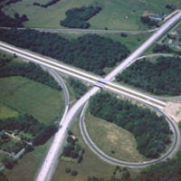
Rhode Island: Interstate 95 Construction
This 1960 photograph shows the construction of Interstate 95 at the junction of Route 2, also known as Quaker Lane. The area that is farm land has since been redeveloped as strip malls and large chain stores.
Tags: aerial, highways, interstate 95, roads
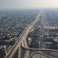
Miami: Interstate 95
This aerial photograph looks south down Interstate 95 in Miami. In the foreground is the Golden Glades Interchange Extended. Interstate 95 is the longest running north-south route in the highway system, running from the Canadian border in Maine to…
Providence
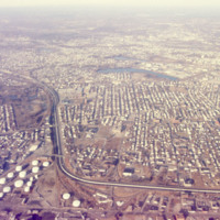
An aerial view of South Providence. This image looks west, with Allens Ave. running parallel to the bottom of the picture plane and Interstate 95 prominently curving through the center of the image.
Aerial View of Warwick Mall
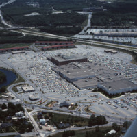
Warwick Mall is an enclosed shopping mall in Warwick, Rhode Island, on the north side of Interstate 295 near the junction of Interstate 95. Composed of more than 1,000,000-square-foot (100,000 m2) of retail space, it features more than 70 stores and…
Tags: aerial, commerce, highways, interstate 95, Mall, shopping malls, suburbs, Warwick Mall
