Dublin Core
Title
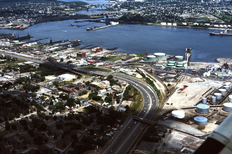
Port of Providence (Aerial)
Description
The northernmost points of Narragansett Bay, where it is fed by the Providence and Seekonk Rivers. The Port of Providence and Interstate 95 are in the foreground of the photograph. The construction of Interstate 95 effectively segregated Providence neighborhoods from one another.
Creator
Chester Smolski
Date
1976-06-01
Rights
Rhode Island College
Format
Photograph
Photograph
Identifier
4905
Smolski Image Item Type Metadata
City
Providence
Country
United States of America
Region
Rhode Island
Theme
Urban Geography
