Dublin Core
Title
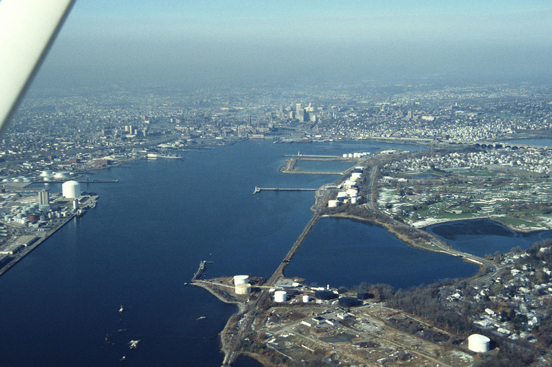
Aerial of Providence River looking north toward the city
Description
The Providence River is a tidal river that flows approximately 8 miles (13 km) from Narragansett Bay until it splits into the Woonasquatucket and Moshassuck Rivers in Providence. There are no dams along the river's length, although the Fox Point Hurricane Barrier is located south of downtown, to protect the city of Providence from damaging tidal floods. The southern part of the river has been dredged at a cost of $65 million in federal and state funds to benefit nearby marinas and commercial shipping interests. (date of photograph is approximated)
Creator
Chester Smolski
Date
1987-01-01
Rights
Rhode Island College
Format
Photograph
Photograph
Identifier
5130
Smolski Image Item Type Metadata
City
Providence
Country
United States of America
Library of Congress Subject Headings
Providence, R.I. -- Aerial photographs; Providence River (R.I.); Waterways -- Rhode Island -- Providence
Region
Rhode Island
Theme
Urban Development
