Dublin Core
Title
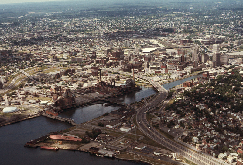
Downtown Providence (Aerial)
Description
Downtown Providence from above, looking west across the Providence River into the cityscape. This 1976 view shows how Interstate 195 used to divide the city and occupy crucial downtown real estate. It was relocated in the 2000s to follow a more direct rout to Interstate 95, crossing the Providence River adjacent to the Fox Point Hurricane Barrier.
Creator
Chester Smolski
Date
1976-06-01
Rights
Rhode Island College
Format
Photograph
Photograph
Identifier
4863
Smolski Image Item Type Metadata
City
Providence
Country
United States of America
Region
Rhode Island
Theme
Urban Geography
